Petre de la Mola: A Prehistoric Rock Formation in Italy
Site at a Glance
- Popularity
- Low
- Country
- Italy
- Primary era
- Bronze Age
- Eras represented
- Bronze Age, Iron Age, Classical
- Civilizations
- Unclassified
- Site type
- Religious
- Remains
- Sanctuary
On this page8 sections
History
Petre de la Mola is a natural rock formation near the summit of Monte Croccia in Gallipoli Cognato Piccole Dolomiti Lucane Regional Park, Italy. The site is dated broadly to the eighth through fourth centuries BCE, while human modification of the rocks is thought to date to the Bronze Age, a prehistoric period marked by the use of bronze. A proposed role in marking the winter solstice, the shortest day of the year in the Northern Hemisphere, remains unconfirmed.
Dating and nearby settlement
Excavations at Petre de la Mola took place in 1885-1886, 1905-1913, and again in the late twentieth century. The rocks lie near the Croccia-Cognato settlement. Archaeologist Attilio Tramonti considered the settlement already populous in the Mesolithic, the period between the Paleolithic and Neolithic, although whether people lived there permanently or only temporarily is uncertain. Layers beneath the settlement’s ancient cemetery extend from the sixth century BCE back to the Proto-Villanovan phase, a prehistoric Italian cultural period. Finds undergoing restoration appear to point to still older material.
Solar and fertility interpretations
A laser scan in 2008 identified two possible alignments with the winter solstice. Their coincidence was considered unlikely to be accidental, but further excavation would be needed to establish whether people deliberately used the rocks as a calendar. The origin of the name Petre de la Mola is uncertain. In the local dialect, mola means a stone for sharpening blades, though the site’s sandstone is too soft for that purpose. Astrophysicist Vito Francesco Polcaro and researcher Leonardo Lozito proposed that the name might instead derive from the Indo-European root mul, also associated with a mule, a sterile hybrid. They suggested the site may have been used to promote fertility.
Remains
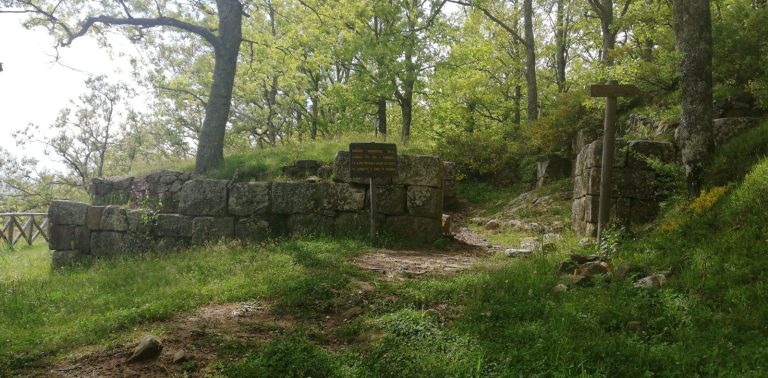
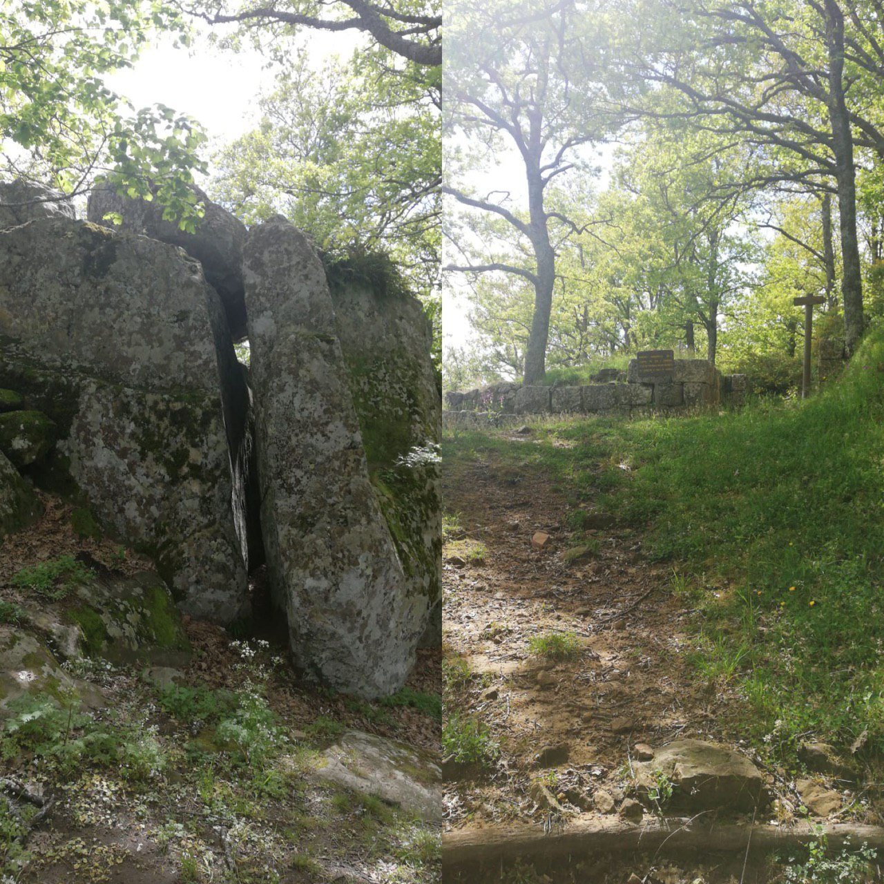
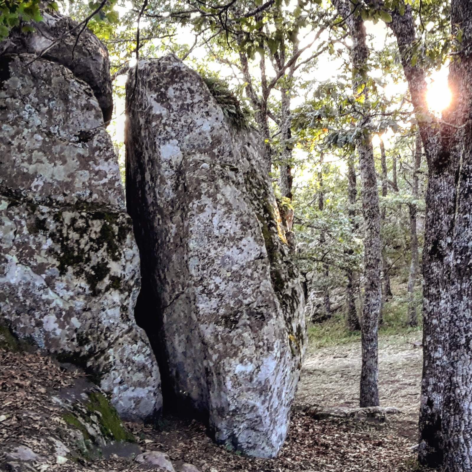
The complex is a natural formation of calcarenite, a carbonate rock made of sand-sized grains, also described as sandstone. It lies at an elevation of 1,049 metres, near Monte Croccia’s summit, within the municipalities of Oliveto Lucano, Accettura, and Calciano. The rocks stand almost 200 metres east of the main gate of the Croccia-Cognato settlement. A small dry-stone wall, built without mortar, was probably constructed with brought-in earth to form the open space between the rocks and the observation point.
Solar observation point
Both proposed solar alignments can be seen from one observation point north of the rock complex, at a break marking the edge of the small space in front of it. Near winter-solstice sunset, when the sun is about five degrees above the horizon, it passes through a small opening formed by a boulder above the natural fissure between the two largest rocks. At winter-solstice noon, the sun appears to settle on a boulder that forms a small hollow.
Water and rock carvings
Rainwater basins
Two basins cut into the upper part of the area collect rainwater. Their presence indicates an association between the complex and cult activity.
Rock carvings
Carvings occur on rocks around the complex. One near the observation point consists of five incisions marking the north-south meridian, an imaginary north-south line, and a line at 238 degrees aligned with the winter-solstice sunset.