Archaeological Site of Panissars: A Roman Frontier Crossing and Medieval Priory
Site at a Glance
- Rating
- 4.5
- Popularity
- Very Low
- Country
- France
- Primary era
- Classical
- Eras represented
- Classical, Medieval
- Civilizations
- Roman
- Site type
- Civic
- Remains
- Monument
On this page11 sections
History
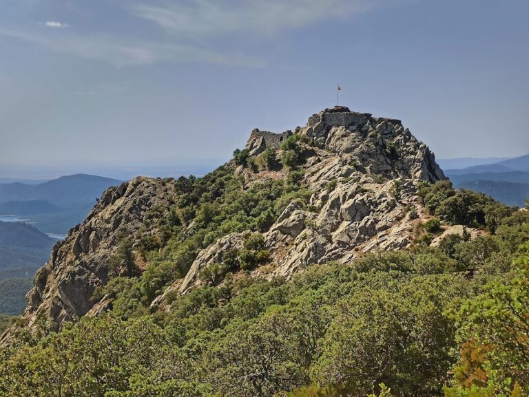
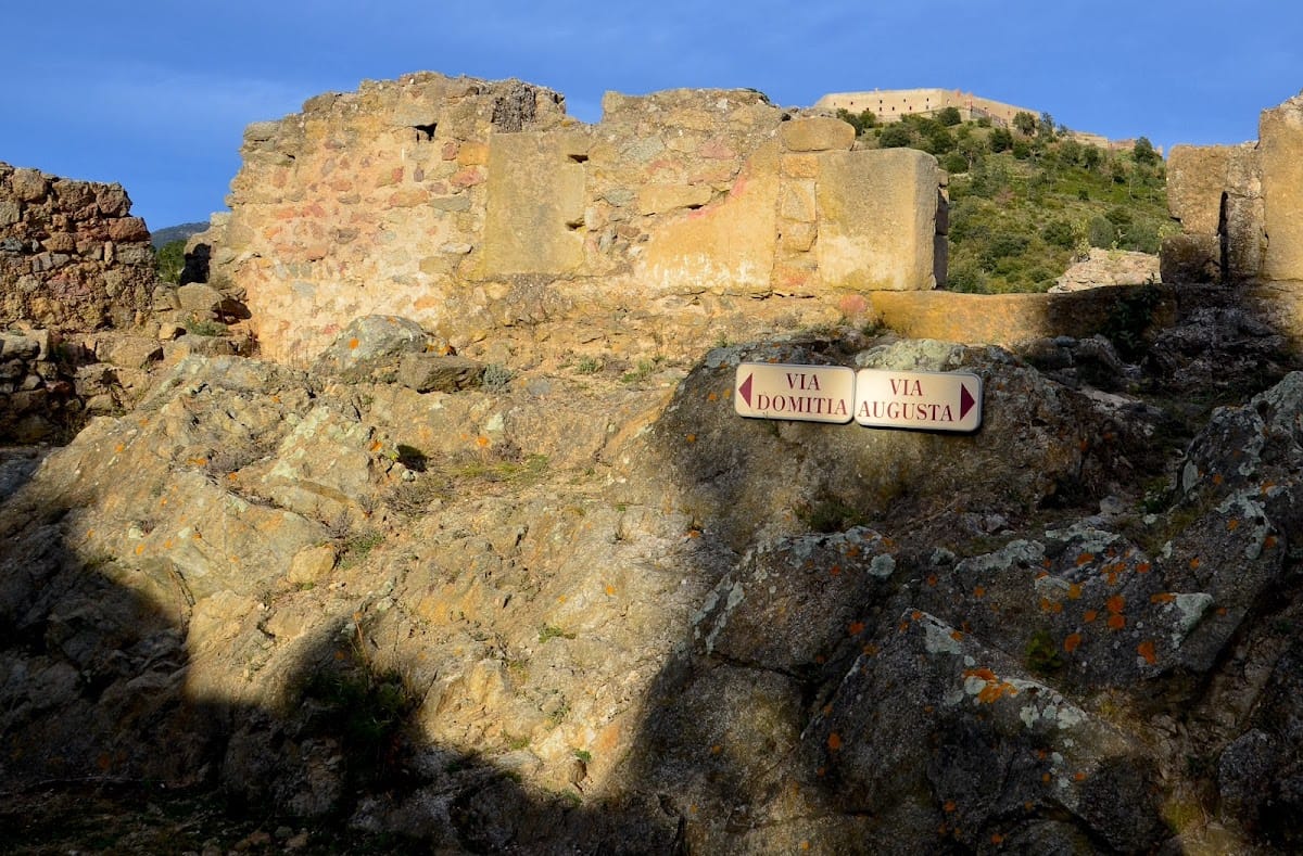
The Archaeological Site of Panissars in France, at Le Perthus, preserves a Roman road junction, the remains of a Roman victory monument, and a medieval priory at the Col de Panissars. In antiquity, the pass was known as Summum Pyrenaeum and marked the boundary between Gaul and Hispania, where the Via Domitia and Via Augusta met.
A Roman crossing and frontier
The Via Domitia was established from 118 BC onward as the Roman road running north from the Pyrenees through Gaul. At Panissars, it joined the Via Augusta, which continued south through Hispania. The crossing formed part of a permanent trans-Pyrenean route linking the Rhône valley with the Atlantic coast, and its position allowed the road to remain passable in winter.
In 71 BC, the Roman general Pompey erected a monumental trophy at the pass after defeating Quintus Sertorius, the governor of Hispania Citerior. Sertorius had led a revolt against Rome that began in 80 BC. The trophy commemorated Pompey’s victory and displayed Roman power over the Iberian territories. Its walls carried the names of 846 cities subdued by Pompey. The monument stood at the junction of the two Roman roads and the frontier between Gaul and Hispania, and is considered the earliest monumental Roman trophy celebrating Rome’s supremacy in the Mediterranean and European world.
Late Roman reuse and medieval foundation
Some of the trophy’s large blocks were later reused in fortifications around the Perthus and in the construction and restoration of the fortresses at Les Cluses. This work probably took place around the fourth century and may have continued into the early fifth century.
A Benedictine priory dedicated to Saint Mary was established at Panissars around 1010 and consecrated in 1011. A Benedictine priory was a religious establishment governed according to the Rule of Saint Benedict. By the end of the eleventh century, the foundation had become a priory and provided shelter for people crossing the Pyrenees on the route to Santiago de Compostela. Construction of the priory caused the remaining visible parts of the Roman trophy to disappear almost completely.
Later demand for building materials during the development of Fort Bellegarde, about 400 metres to the east, led to further dismantling of both the trophy and the priory. The pass also became a battlefield in 1285, when the forces of King Philip III of France suffered a major defeat against those of King Peter III of Aragon during the Aragonese Crusade. The conflict between the two kingdoms ended after the event, and Philip died four days later at Perpignan.
Rediscovery and protection
After centuries of abandonment and unsuccessful searches along the Via Domitia, the remains of the trophy were rediscovered at the pass in 1983. Excavations began on the French side in 1984 under the direction of Georges Castellvi, an archaeologist, and expanded into Spanish territory in 1990 under Josep Maria Nolla and Isabel Roda. French and Spanish teams worked jointly in 1993. Excavated material is displayed at nearby Fort Bellegarde.
The site is divided between France, which contains about two-thirds, and Spain, which contains about one-third. It is protected in both countries, as a French historic monument and as a local cultural-interest property in Catalonia. French protection granted on 8 March 2010 covers the archaeological site, a surviving stretch of the Via Domitia, the trophy remains, the former Sainte-Marie priory, and the soil of cadastral parcel AC 156.
Remains
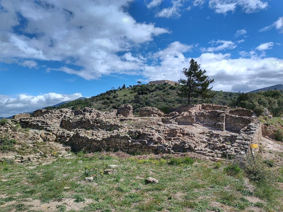
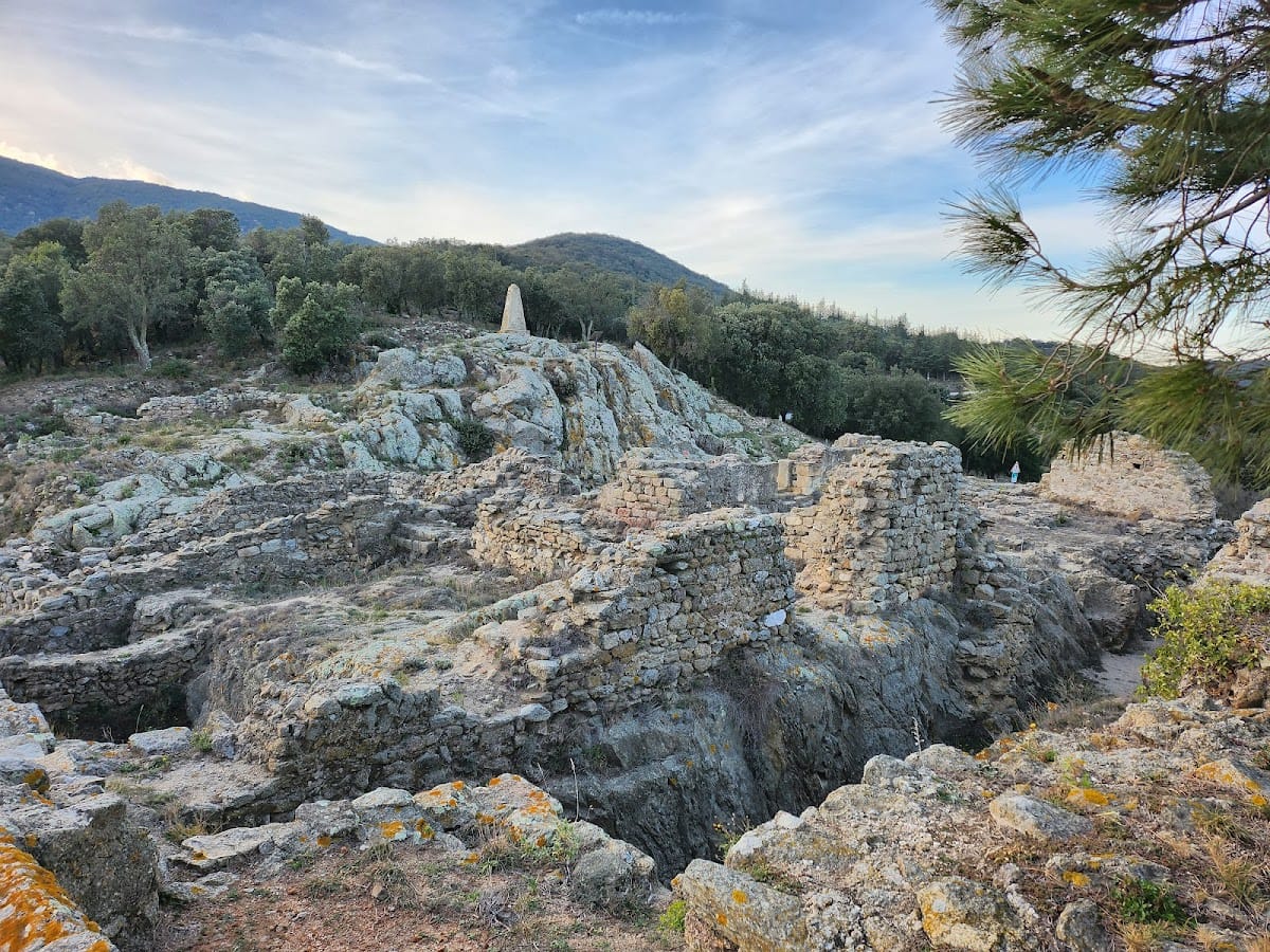
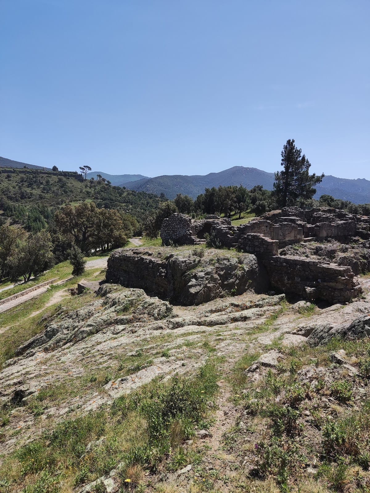
The archaeological site covers approximately 3,000 square metres on the edge of the present Franco-Spanish border in the Albères massif. Its remains occupy the mountain pass and are organized around the adjoining Roman road system. The surviving road, the foundations of Pompey’s trophy, and the medieval priory preserve successive uses of this frontier crossing.
Roman road and trophy
Via Domitia
The surviving Via Domitia is preserved across its full width. A fragment of a Roman milestone was found beside the road. Roman milestones were roadside markers that recorded distances or administrative information, and the inscription on this fragment may refer to Constantine.
Pompey’s trophy
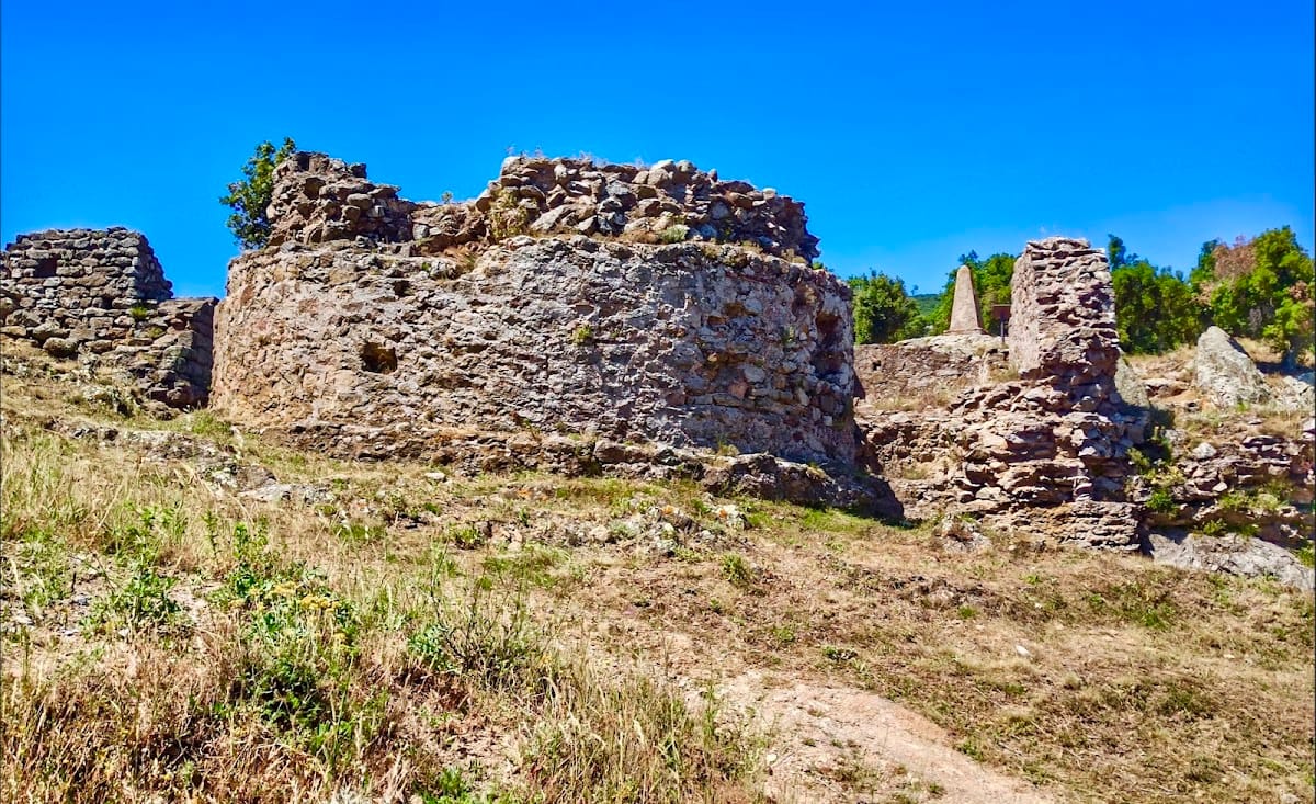
The foundations attributed to Pompey’s trophy were cut into the bedrock. Stone blocks and bricks remain in place in the northeastern part of the site, where the foundations were arranged in stepped trenches at the northeastern corner. This construction method was inherited from Greek building practice and was used by the Romans until the Augustan period. The foundations supported large ashlar blocks, meaning regularly cut stones laid in carefully arranged masonry, made from marine sandstone.
The monument measured approximately 35 by 30 metres at its base, equivalent to 120 by 100 Roman feet, giving it a form intended to be visible from a distance. The remains along the Via Domitia are probably those of Pompey’s trophy. Its architectural design drew on major monuments that have mostly disappeared, while the surviving ruins are described as the oldest Roman trophy ruins in the world.
Sainte-Marie priory
Church and crypt
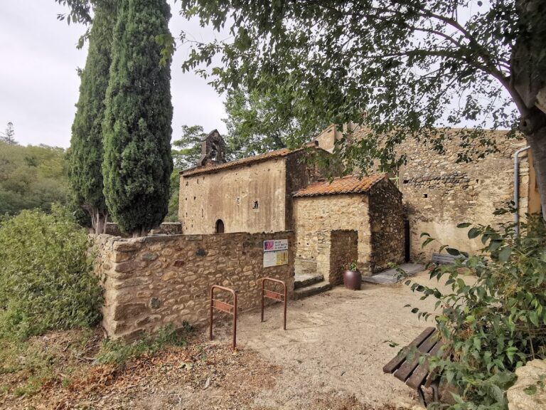
The former Sainte-Marie priory included a church with a rectangular nave, an elevated apse, a crypt, and an ante-nave. It also had a portico and three entrances. The exterior walls and the crypt beneath the apse remain standing. The crypt contains fragments of Romanesque frescoes. Romanesque architecture was a medieval tradition characterized broadly by massive masonry, rounded arches, and strongly articulated church spaces.
Monastic buildings
The southern side of the complex preserves remains of a small cloister, monastic rooms, and a kitchen. These surviving elements belong to the priory’s religious and residential complex, which stood beside the Roman road and within the landscape shaped by the Pyrenean pass.