Old Oswestry: An Iron Age Hillfort near Gobowen
Site at a Glance
- Popularity
- High
- Country
- United Kingdom
- Primary era
- Iron Age
- Eras represented
- Iron Age, Medieval, Modern
- Civilizations
- Unclassified
- Site type
- Military
- Remains
- Fort
On this page10 sections
History
Iron Age settlement and fortification
Old Oswestry is a hillfort, or fortified settlement, near Gobowen in the United Kingdom. Its defenses began during the Iron Age, the period associated broadly with the use of iron, around the eighth century BCE. Settlement on the hill began earlier, around 1000 BCE, roughly two centuries before the first ramparts. The inhabitants were either the Cornovii or the Ordovices, ancient Brittonic peoples, but which group lived here is uncertain. The fort may have served as an important regional administrative center for one of them.
Old Oswestry remained occupied through the Iron Age, until the Roman conquest of Britain. Its defensive earthworks took shape in several stages. They helped obstruct attacks and may also have expressed the authority of the fort and its inhabitants.
Wat’s Dyke and later tradition
After the hillfort was abandoned, its earthworks became part of Wat’s Dyke, an eighth-century boundary built by Mercia, an Anglo-Saxon kingdom, between its territory and Welsh kingdoms, especially Powys. The boundary extended for about 40 kilometres and came before the much longer Offa’s Dyke. Both were linear earthwork boundaries associated with the frontier between Anglo-Saxon and Welsh territories. An early medieval tradition also placed Guinevere’s birthplace at the hillfort. Guinevere is the legendary queen of Arthurian tradition.
War, excavation, and modern management
During the First World War, units of the Canadian Expeditionary Force, Canada’s overseas military force, used the earthworks for training while based at nearby Park Hall camp. Wilfred Owen, the poet and soldier born in Oswestry, also completed trench-warfare training there while stationed at the camp.
Old Oswestry became a scheduled monument in 1934, a legal protection for archaeological and historic places in England. The designation also covered two nearby sections of Wat’s Dyke. In 1939–40, geologist and amateur archaeologist William J. Varley carried out the site’s most extensive examination. His work established four stages in the development of the ramparts. It was published in the 1990s and remains the principal study of the hillfort. English Heritage, a charitable organization that cares for historic places in England, manages the site.
Since 2015, a campaign supported by local residents and archaeologists has stalled housing proposals near the monument’s slopes. A three-dimensional model made in 2024 was intended to inform vegetation management.
Remains
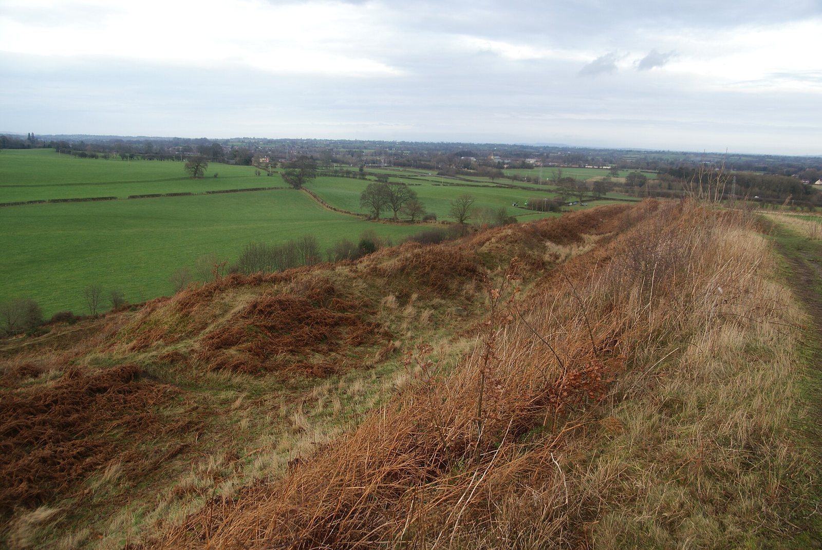
The hillfort occupies a lowland hilltop about 160 metres above Ordnance Datum, Great Britain’s standard elevation reference. It covers approximately 25 hectares, measures about 500 metres across, and has a circumference of roughly 1,500 metres. The site offers views across north and mid-Wales, Cheshire, and Shropshire, and is among Britain’s best-preserved hillforts.
Settlement remains
A stone axe and flint tools indicate use of the hill in the Neolithic, the archaeological period associated broadly with stone tools. The early settlement consisted of roundhouses, circular buildings, on an undefended hilltop; it may also have had a wall or fence. Some houses had a central wooden support, a thatched roof, and a wood-fired hearth. Two excavated early Iron Age houses were about seven metres in diameter, incorporated stone, and had central hearths. A pottery kiln found in one house’s hearth points to light industrial activity, possibly including bronze smelting. Pottery from Wiltshire and salt containers from Cheshire indicate long-distance exchange.
Defensive earthworks and entrances
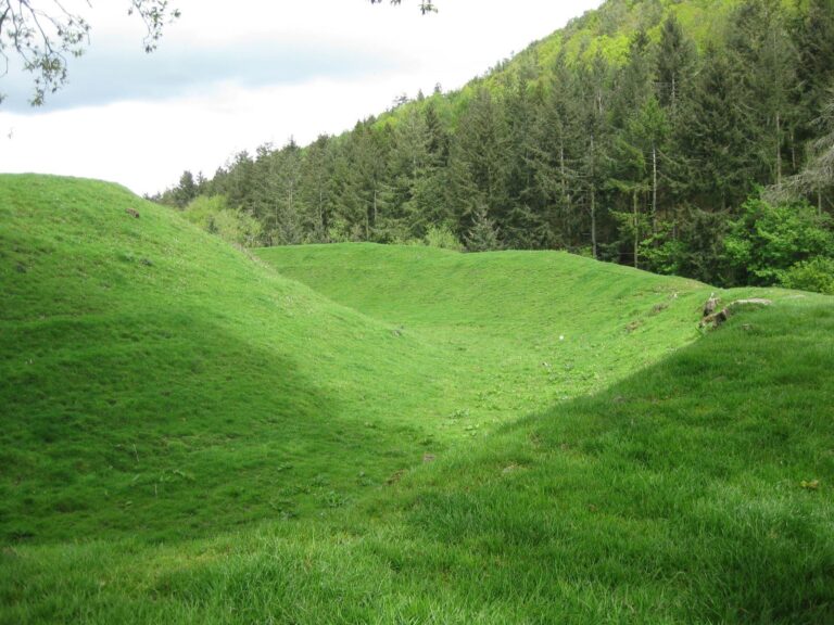
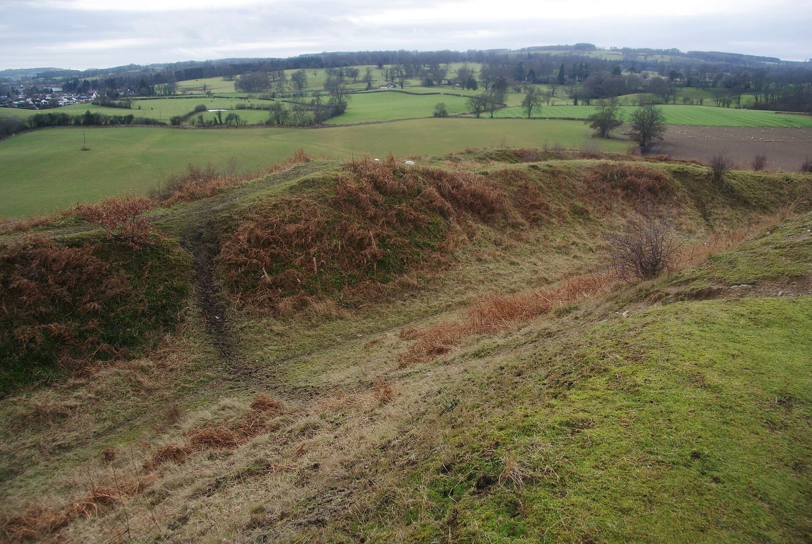
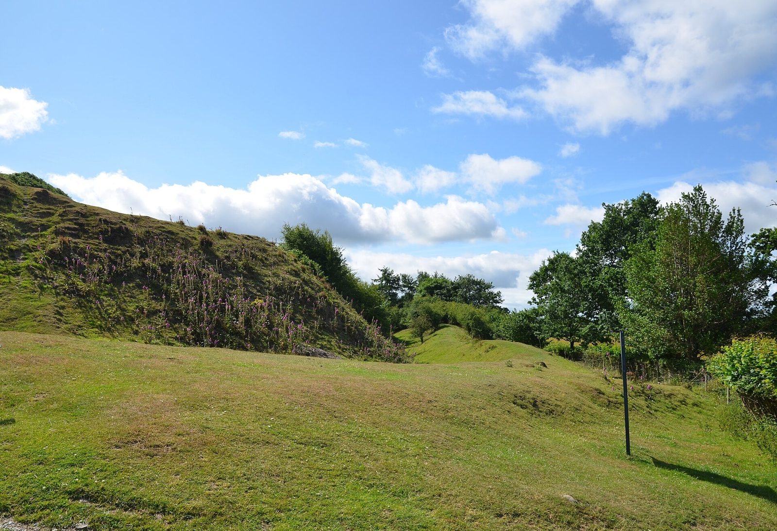
The first defenses included two inner banks around the hilltop and a double bank and ditch enclosing about 5.3 hectares. Their clay cores were supported by timber and stone, then covered with earth; stones protrude from the banks in places. At the eastern and western ends, inward-curving sections of the inner bank formed broad gateways. Later repairs and enlargement added a third bank around the hill, including its western side, while the steep southeastern slope needed no further fortification. The western entrance was reshaped with rectangular hollows separated by ridges and outworks, additional defenses beyond the main line. The eastern entrance gained further outer banks and ditches, including a flanking bank. Two large outer ramparts and ditches were eventually added around the enclosure.
Later structures and surrounding landscape
Other stone-built circular structures each had two chambers divided by an internal stone partition. They may date to the late Iron Age, although their date is uncertain. Aerial photographs also show possible settlements and cultivated fields near the hillfort. The fields may have provided food and labor for the fort’s inhabitants, while the enclosure may have served as a refuge for people living across the surrounding area during crises.
Adjoining boundary earthworks
Two sections of Wat’s Dyke adjoin the hillfort.
Twentieth-century damage
First World War training left large pits, trenches, and explosive craters that irreparably damaged the hillfort’s interior. Many of the larger pits and trenches can be seen in aerial photographs.