Cetatea Noviodunum: Roman Fleet Base and Fortified Settlement in Romania


Site at a Glance
- Rating
- 3.5
- Popularity
- Very Low
- Country
- Romania
- Primary era
- Classical
- External website
- Open
- Eras represented
- Classical, Medieval
- Civilizations
- Byzantine, Roman
- Site type
- Military
- Remains
- Fort
On this page17 sections
History
Cetatea Noviodunum is a ruined fortified settlement in Romania, near Isaccea, whose Roman development made it a military, naval, economic, and urban center on the lower Danube. Occupied from the Early Iron Age onward, the site stood beside an important river crossing and developed through Roman, Roman-Byzantine, Byzantine, and medieval phases.
Before Roman rule
The site occupies the former Pontonul Vechi, also known as Eski Kale, meaning “Old Fortress” in Turkish, on a promontory about 2 km from Isaccea. Its position near a ford of the lower Danube gave it strategic and economic value before Roman control. Early Iron Age, Getic, and Hellenistic occupation has been identified, and the Roman settlement appears to have overlaid a Getic predecessor. A Greek trading station is also associated with the location.
The name Noviodunum is Celtic in origin and continued in literary usage during the ancient period. A historical tradition links the site with the Persian king Darius I and his campaign against the Scythians in 514 BC, including the construction of a bridge across the Danube. The precise nature and reliability of this association remain uncertain.
Roman military and civic development
Roman control was established in AD 46, after Dobrogea was incorporated into Moesia Inferior, the Roman province covering the lower Danube region. The territory’s annexation is also associated with the reign of Emperor Vespasian. Noviodunum then developed within the Danubian limes, the network of forts, roads, river installations, and military posts that protected the frontier.
The settlement became the principal base of Classis Flavia Moesica, the Roman imperial fleet assigned to the lower Danube. Its fleet headquarters supported naval operations, river traffic control, and frontier defense. Detachments of Legio V Macedonica, Legio I Italica, Legio XI Claudia, and Milites Primi Constantiniani were also stationed there. A military and commercial road from Marcianopolis ended at Noviodunum, meeting the road that followed the Danubian frontier.
By the end of the second century AD, Noviodunum had become a municipium, a Roman town with recognized civic status and a degree of local self-government. During the later Roman Empire, it remained an important fleet station and became the base of Legio I Iovia Scythica, which was responsible for the northern defense of the province. The fleet was then known as Classis Ripae Scythicae.
Late Roman and Byzantine periods
Noviodunum probably suffered destruction during the invasions of the third century, including attacks associated with Goths, Heruli, Carpi, and other groups. During the reforms of Diocletian, when imperial administration and military organization became more centralized, Legio I Iovia was established at the site. The fortress was rebuilt during the reign of Constantine the Great after AD 324 and placed under the Dux Scythiae, the late Roman commander responsible for troops in the Scythian province along the lower Danube.
In AD 369, Emperor Valens crossed the Danube from Noviodunum during the Gothic war. He fought Athanaric, a leader of the Tervingi, and the Battle of Noviodunum ended in a Roman victory. Valens subsequently assumed the title Gothicus Maximus.
The Huns occupied Noviodunum between AD 434 and 441. The site later returned to Roman control and became part of the Byzantine Empire. After the death of Attila, it was associated with the realm of Ernakh, one of Attila’s sons and successors in Hunnic tradition. Slavs began settling in the area in the early sixth century, while the Kutrigurs attacked in 559 and the Avars in 561–562.
During the reign of Justinian I in the sixth century, Noviodunum became an episcopal see, an administrative center governed by a bishop. The settlement was incorporated into the Bulgarian Empire in 681 and later continued as an important Byzantine and medieval center. It survived into the seventh century, when its latest coins were issued during the reign of Emperor Heraclius.
Medieval settlement and decline
Medieval occupation resumed or expanded from the late tenth century, both inside the fortress and in the surrounding civilian settlement. From the tenth century onward, the name Noviodunum disappeared from written usage and Isaccea became the name used for the place. The civilian settlement flourished in the eleventh century but was affected by attacks by Pechenegs, Uzes, and Cumans.
After a Cuman attack in 1095, occupation outside the fortress ceased and the area became a flat inhumation cemetery, where bodies were buried rather than cremated. Settlement resumed during the first decades of the thirteenth century but was damaged by the Tatar invasion of 1242. Excavations indicate that occupation continued after this destruction until the Ottoman conquest in the early fifteenth century. In the second half of the thirteenth century, settlement activity moved increasingly closer to the fortress, while the Turks later shifted the main center westward toward a smaller settlement.
Archaeological investigation
Archaeological research began in 1953 with a sondage by the Dinogetia team led by Professor Gh. Stefan. The initial aim was to identify the medieval settlement. In 1955, a team from the National Museum of Antiquities in Bucharest, led by I. Barnea with Bucur Mitrea and N. Angelescu, carried out the first rescue excavation along the flood-prone Danube shore and investigated the Roman port installations.
Further work took place in 1964, 1967, 1970, 1971, 1973, and 1976 on the eastern, southern, and western sides of the fortress. F. Topoleanu and Gh. Manucu-Adamesteanu excavated the civilian settlement in 1990, identifying a thirteenth-century habitation nucleus over a twelfth- to thirteenth-century cemetery and several eleventh-century occupation levels above Roman-Byzantine complexes.
Research on the Middle Byzantine civilian settlement continued in 1995–1997 and 2003. The complexes and coins show that occupation outside the walls resumed at the end of the tenth century, at approximately the same time as settlement inside the fortress. In 1995, the Tulcea Institute of Eco-Museum Research resumed systematic work through the Noviodunum 2000 project, initiated and designed by Victor H. Baumann. Its first phase examined the relationship between the civilian settlement and the stone-walled fortress, including the southern enclosure and buildings within the walls. Since 1997, investigations have concentrated on the southern enclosure and the area inside the fortress.
The site is interpreted as a fortified urban settlement with successive Roman, Byzantine, and medieval phases. Excavation results have been only partly published, leaving some aspects of its history unresolved. The remains are currently ruined.
Remains
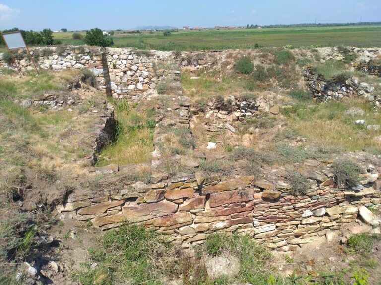
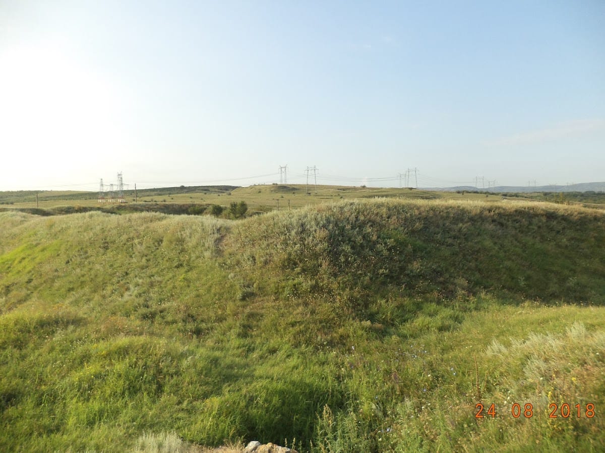
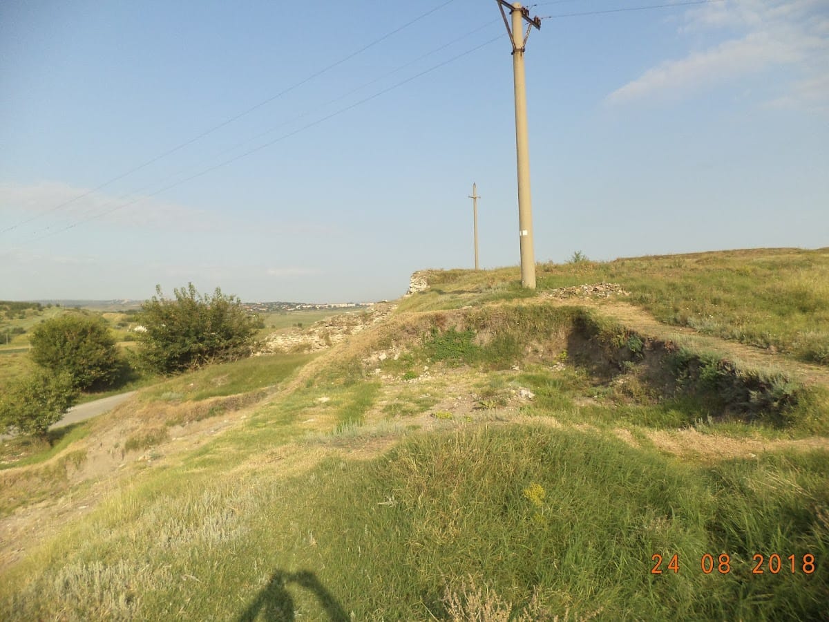
The fortress occupies approximately 350 by 250 m, with a walled area of about 9 hectares. Before the fourth century, this area was divided into two enclosures: the headquarters of the Danube fleet and the walled city that developed from the late second century. A separate civilian settlement of at least 7 hectares lay outside the fortress, within three large earthen ramparts and defensive ditches. Ancient roads connected the fortress with its surrounding territory, while burial grounds from different occupation phases lay as far as 4–5 km away.
Fortress walls and southern enclosure
Northern fortifications and port area
Along roughly 300 m of the Danube shore, within a strip about 15–20 m wide, ruins of the northern part of the ancient city and its port remain visible. The riverbank continues to be damaged by the waters of the Danube. Rescue excavations established three rebuilding phases in the fortifications. The northern curtain wall had seven semi-circular defensive towers projecting outward, and two of these towers flanked either a gate or a port installation.
Southern towers
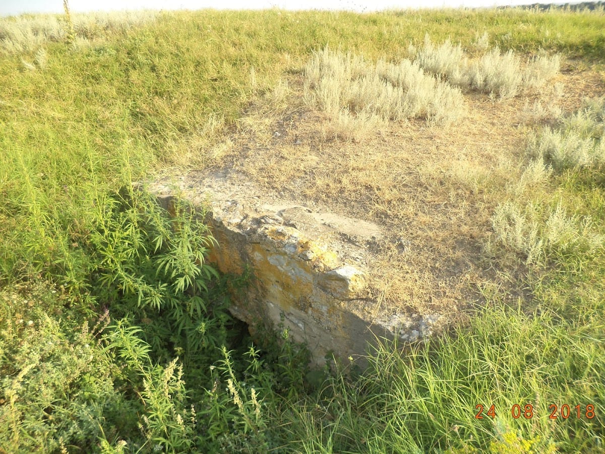
Excavations in the southeastern enclosure exposed three towers known as the Large Tower, the Corner Tower, and Tower A. Each passed through several construction phases. The southern curtain wall connecting them is nearly 3 m thick and extends for about 80 m. The southern group includes a fan-shaped corner tower, a U-shaped tower, and the Large Tower, which is described as one of the largest towers built by the Romans.
Earliest rampart
Work carried out in 2005 east and west of the Large Tower revealed a ditch and an earthen rampart belonging to the earliest known fortification at Noviodunum. This defensive earthwork probably formed the first-century AD fort before later stone rebuilding.
Buildings and archaeological deposits
Roman civic and military structures
Important Roman buildings identified at the site include two bath complexes, dwellings, a basilica, port installations, and sections of the city walls. The bath complexes, known as thermae, were public bathing buildings that also supported related social activities. Roman material has been found around the Large Tower, the Corner Tower, and Tower A.
Medieval civilian area
The civilian area contains a thirteenth-century habitation nucleus, a twelfth- to thirteenth-century inhumation cemetery, and several eleventh-century occupation levels overlying Roman-Byzantine complexes. Excavation in the area revealed a substantial archaeological deposit from the tenth to fifteenth centuries, locally more than 2–3 m thick.
Necropolises and finds
Roman burial mounds
The tumular necropolis, a cemetery formed by burial mounds, was investigated between 1958 and 1992. Thirty mounds were excavated, representing approximately half of the known group. The burials date from the end of the first to the end of the second century AD and provide evidence for funerary rites and rituals during the early Roman period.
The mounds are distributed across the southwestern platform and arranged along radial lines on both sides of former roads linking the fortress with its surrounding territory. The Kurgan-Vizir mound has a circumference of about 400 m, a height of 73 m, and slopes of 75–90 degrees.
Excavated objects
Excavations in the fortress and civilian settlement have produced thousands of coins, numerous seals, jewelry, cult objects, weapons, harness fittings, tools, and locally made and imported pottery. The pottery is notable for the quantity, quality, and variety of its forms. Together with the walls, buildings, burial grounds, and accumulated deposits, these finds trace the successive Roman, Byzantine, and medieval occupation of Noviodunum.