Mühlbacher Klause: A Medieval Fortress and Customs Barrier in Italy

Site at a Glance
- Rating
- 4.3
- Popularity
- Low
- Country
- Italy
- Primary era
- Medieval
- External website
- Open
- Eras represented
- Medieval
- Civilizations
- Habsburg, Holy Roman Empire
- Site type
- Military
- Remains
- Fort
On this page14 sections
History
Mühlbacher Klause is a late medieval fortified road barrier and former customs station in Italy, built at the western entrance to the Puster Valley around 1460 by Duke Sigismund of Tyrol. A Roman road barrier probably occupied the area earlier, when a branch of the Via Julia Augusta, the Roman route linking northern Italy with the Alpine regions, ran from Aquileia through castrum Ursen to Veldidena. It likely controlled travel between Noricum and Raetia, neighbouring Alpine regions, until Rome conquered and incorporated Raetia in 15 BC.
Earlier fortifications and the Tyrolean frontier
A predecessor known later as the Haslacher Klause existed by 1269 and is traced to the twelfth century. It was connected with the lords of Rodengo and with the brothers Meinhard, later Meinhard II of Tyrol, and Albert of Gorizia. In 1269, the earlier fortification passed to the counts of Gorizia.
The later Mühlbacher Klause was established about 200 metres east of this older strongpoint. Duke Sigismund of Tyrol, also known as Sigismund the Rich, enlarged and strengthened it for more than twenty years during the second half of the fifteenth century. These works produced the fortress’s overall form and reinforced its role at the boundary between Tyrol and Gorizia.
The two fortifications marked that territorial frontier until 1500. After the death of the last count of Gorizia, the Puster Valley was consolidated under Tyrolean control, and the Klause no longer stood between rival territories. Its frontier function therefore ended, although it remained a fortress, road barrier, and customs station.
Road control and customs
The main road passed through the fortress courtyard, where tolls were collected from travellers and commercial traffic. Medieval tolls were charged to people arriving from Treviso and Venice, and a detailed regulation issued in 1484 defined the site’s role in long-distance commerce. A defensive wall extended up the mountainside, making the barrier difficult to bypass for carts, wagons, and pedestrians. Traffic toward the Puster Valley nevertheless continued through the complex for centuries.
Sieges, damage, and decline
The Klause resisted an unsuccessful siege during the Peasants’ War in 1526, a widespread rural revolt in the German-speaking lands. It suffered severe damage in fighting in 1703 during the War of the Spanish Succession, a European conflict over the Spanish monarchy, and again in 1809 during the Tyrolean uprising against Bavarian occupation. The fortress was not rebuilt after the later destruction.
Its strategic value had already declined after 1500, when it lay within Tyrol rather than on a territorial frontier. Repeated efforts to renew the fortress failed. It was eventually sold to residents of Mühlbach for use as a stone quarry. Most of its interior building elements were dismantled, but the complex was never entirely demolished.
Twentieth-century military use and restoration
In 1939, Benito Mussolini ordered the fortification of the Alpine passes in South Tyrol. A military barrier called the Chiusa di Rio barrage was built near the old customs station and consisted of five bunkers. This twentieth-century installation formed a separate defensive phase in the site’s history.
Restoration began in 1978 through the efforts of Mühlbach residents. The construction of a new road outside the walls removed the through-traffic that had previously passed through the complex, and the relocation of the state road allowed further restoration in 1997. The surviving fortress is now treated as a restored ruin.
Remains
Fortified layout and entrances
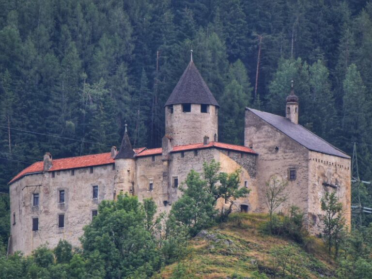
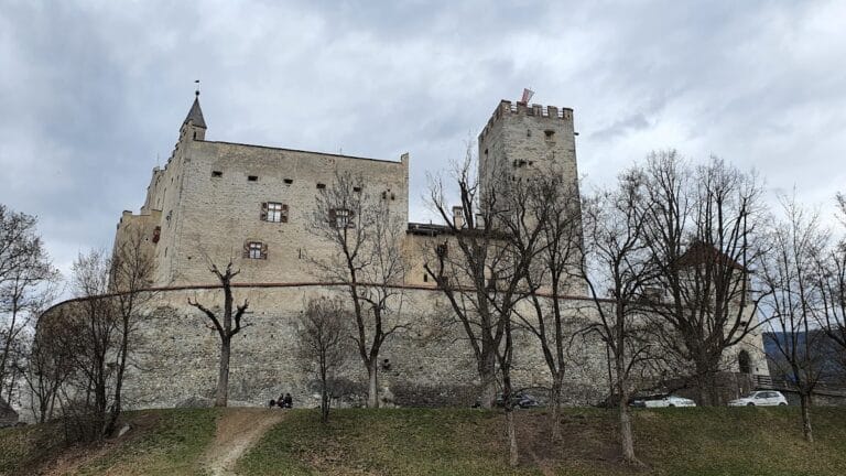
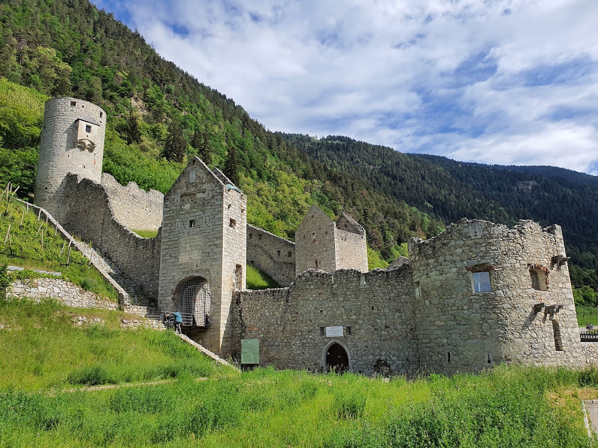
Mühlbacher Klause is an approximately rectangular stone complex above the confluence of the Rienz and Eisack rivers, near Mühlbach, at about 777 metres above sea level. It occupies the transition between the Eisack and Puster valleys. The fortress is divided into an upper section, which was more heavily fortified, and a lower section that formerly provided living and agricultural space.
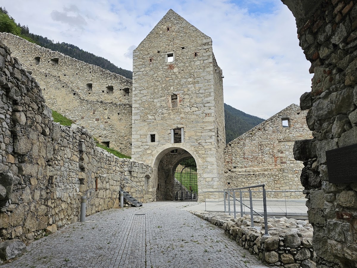
Mühlbacher Tor
The western entrance is the Mühlbacher Tor. It forms part of the fortified approach to the complex and belongs to the surviving defensive arrangement of the barrier.
Vintlertor
The eastern entrance is the Vintlertor, also called the Vintler Tor. Together with the western gate, it defines the passage through the rectangular fortress and reflects the site’s original control of the road.
Upper and lower sections
Upper fortification
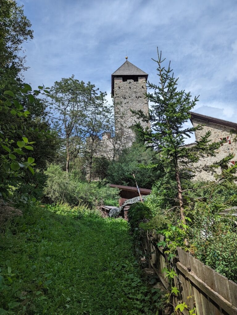
The upper section preserves the left round tower. The corresponding right-hand tower was destroyed during construction of the Puster Valley Railway, along with the external defensive wall beyond the complex. The surviving tower is part of the restored ruin that remains above the lower area.
Customs building
The lower section retains the ground floor of the customs building. Smithies and stables occupied this level, linking the administrative work of the customs station with the practical needs of travellers, animals, and road traffic. The lower area was also formerly used for habitation and agriculture.
Kaiserturm
The Kaiserturm, or Emperor’s Tower, stands on the left side of the lower section. Its traditional name comes from the belief that Emperor Maximilian I stayed there during hunting expeditions. Maximilian ruled as Holy Roman Emperor from 1493 to 1519 and was a major Habsburg ruler, although the tower’s name expresses a tradition about his stays.
Roadside religious and military features
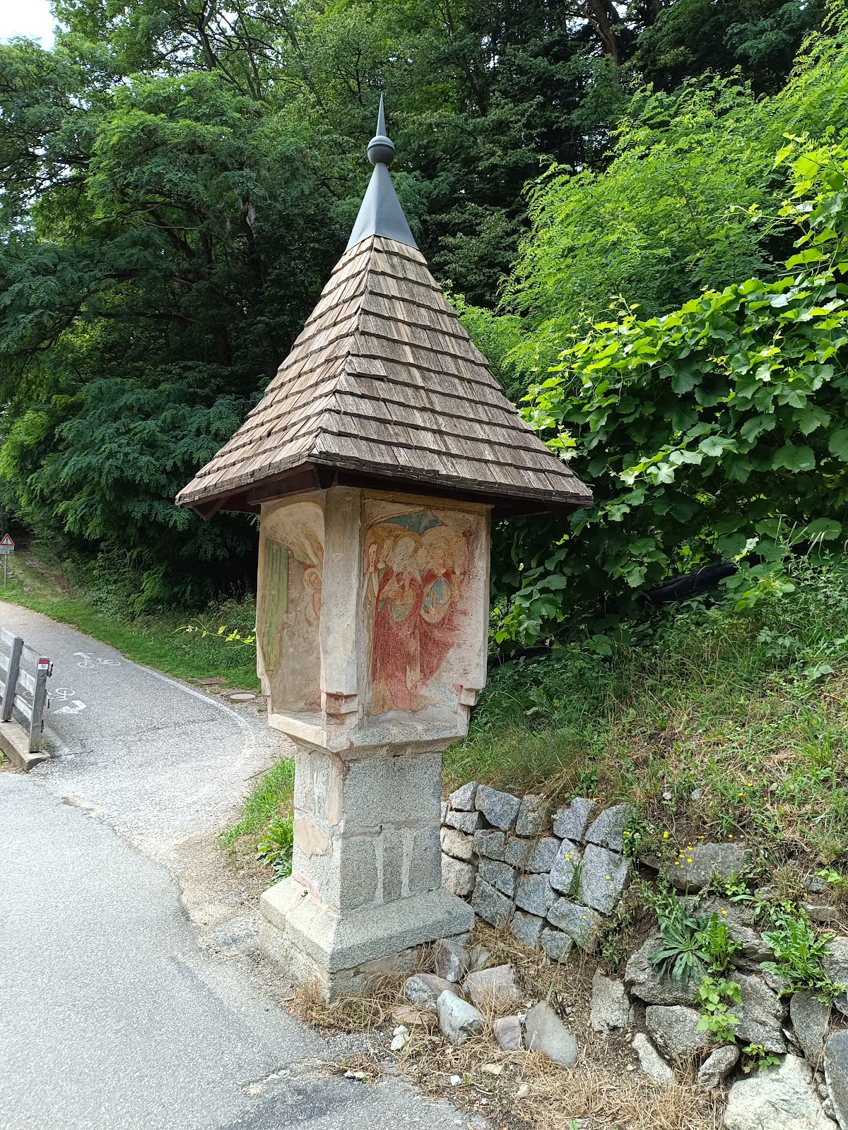
Beside the road running through the complex are the remains of a chapel dedicated to the Trinity. A milestone also stands near the road. It commemorates the baptism of fire, meaning a unit’s first major combat experience, of the Tyrolean Kaiserjäger in 1813. These imperial-royal mountain infantry troops were associated with Tyrol.
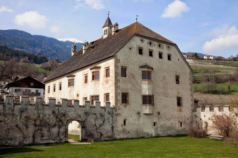
The fortress was constructed of stone, and its surviving fabric is preserved as a restored ruin. Interior structures have largely been lost, while the entrances, surviving tower, customs-building ground floor, tower tradition, chapel remains, and roadside milestone continue to define the physical character of the complex.