Motte Haidenschloss: A Medieval Castle Site near Gefrees, Germany

Site at a Glance
- Rating
- 4.6
- Popularity
- Very Low
- Country
- Germany
- Primary era
- Medieval
- Eras represented
- Medieval
- Civilizations
- Holy Roman Empire
- Site type
- Military
- Remains
- Castle
On this page5 sections
History
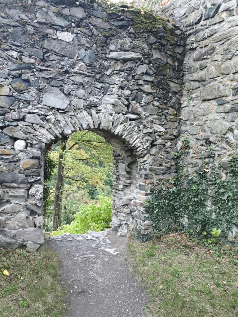
Motte Haidenschloss is a probable thirteenth-century medieval castle site in Germany, near Gefrees in the Bayreuth district of Upper Franconia. The name refers to a motte, a medieval castle built around a raised artificial or modified mound, while Burgstall Rauschenberg describes the archaeological remains of a former castle whose buildings have largely disappeared. The site occupied a border region shaped by competing territorial expansion.
Territorial Expansion in the Middle Ages
During the mid-twelfth century, the Lords of Waldstein, a medieval noble family, promoted expansion eastward into the source region of the Eger. At the same time, the Andechs-Meranian counts, a powerful comital dynasty, extended their influence from the southwest into the Fichtel Mountains after acquiring former Walpot possessions. Haidenschloss lay within this zone of expanding lordship.
From the mid-fourteenth century, the surrounding territory came under the control of the Burgraves of Nuremberg. These rulers belonged to the Hohenzollern dynasty and exercised territorial authority in the region during the later medieval period.
Abandonment and Later Recognition
The surviving historical reference to Haidenschloss appears in the 1536 land register of Berneck, Gefrees, and Goldkronach, which mentions the route toward the site. By that time, the castle was probably already abandoned. The Bavarian State Office for Monument Protection later registered the motte as an archaeological monument in the Bavarian monument list under number D-4-5936-0008.
Remains
Hilltop Setting and Earthworks
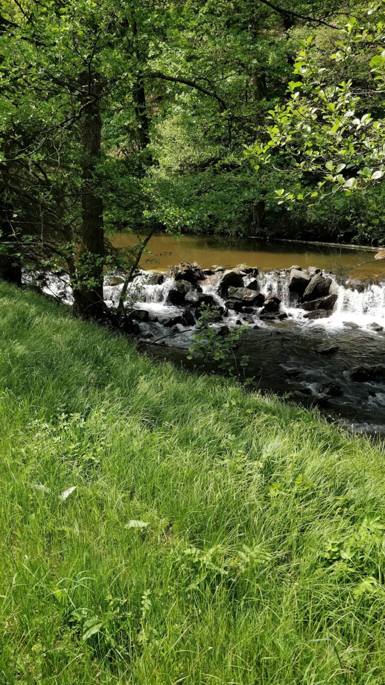
The castle site occupies a southern spur at the foot of the Rauschenberg, in the Unterer Wasserfall field area of the Wundenbach cadastral district. It stands at an elevation of 565 metres above sea level, with the Kornbach bounding the spur. Gefrees is approximately 1.5 kilometres away, Neuenreuth about 1 kilometre away, and the old road to Bohemia lay roughly 600 metres to the north.
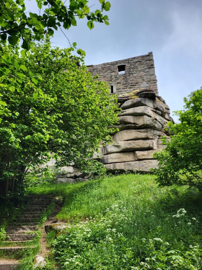
The surviving earthworks centre on a slightly oval, flattened mound measuring about 20 by 25 metres. A ditch directly adjoins its landward side and reaches up to 4 metres in width. The shape of the earthworks suggests that the ditch may originally have encircled the entire sloping tip of the spur. Construction of the present water pipeline destroyed some traces of this arrangement.