Motronynske Hill Fort: An Early Scythian Center in Ukraine
Site at a Glance
- Popularity
- Low
- Country
- Ukraine
- Primary era
- Iron Age
- Eras represented
- Iron Age
- Civilizations
- Scythian
- Site type
- City
On this page15 sections
History
Motronynske Hill Fort is an early Scythian fortified settlement in Ukraine, established in the seventh century BC. Among the largest hill forts of its period, it reached its greatest development in the second half of the fifth century BC and served as an important political, economic, trading, and religious center of the Middle Dnieper region. The identity of its builders remains disputed.
Regional societies before the fort
Before the hill fort emerged, communities in the Dnieper forest-steppe were associated with the Belogrudov culture, which gradually developed into the Chernoles culture. These names refer to archaeological traditions, not necessarily to peoples’ own identities. During the ninth and eighth centuries BC, a major Chernoles center in the region practiced bronze-working, while a chain of smaller hill forts extended along the Dnieper terrace from the Smila area to Chornyi Lis near the upper Inhulets. These defenses may have been built in response to Cimmerian incursions.
From the middle of the eighth century BC, early Scythian material culture spread into the region, a change associated with Scythian conquest. Communities in the Tiasmyn basin have been linked to the Neuri, the Geloni, or another group whose name is unknown. The Neuri and Geloni are names for ancient peoples found in Greek accounts, while the term Right-Bank Vorskla-type describes an archaeological classification. Settlements of the Zhabotyn group began to decline around the middle of the seventh century BC, although occupation continued in some places and certain hill forts remained in use into the fifth century BC.
Scythian-period center
The fort was most densely occupied from the late seventh to the fifth century BC. Its population at its height is estimated to have exceeded 5,000. Motronynske was the center of a political association described either as a proto-principality, an association nearing an early centralized state, or a complex chiefdom, several communities governed through ranked leadership.
Its inhabitants belonged to territorial communities led by a military aristocracy. Farmers and herders lived alongside craftspeople and traders. Scholars differ over the builders’ identity and the relationship between local communities and Scythians. One interpretation connects the settlement to the local Chernoles population and suggests that Scythian raids helped unite its communities. Another proposes that Scythians from Western Asia conquered local people and formed a farming-and-herding political union led by a nomadic military elite. This second interpretation views the hill forts as part of a defensive line and suggests that forest-steppe Scythians later came to distinguish themselves from other nomadic Scythians.
Farming and animal husbandry supported the population, but the limited land suitable for cultivation probably made livestock raising more important. Herding was likely organized around households and seasonal grazing. During winter, animals other than young stock were kept outdoors or sheltered in ravines or woodland. Animal bones indicate that cattle made up 27.1 percent of domestic stock, small ruminants 27.3 percent, horses 21.1 percent, and pigs 18.4 percent.
Metalworking and pottery-making also contributed to the settlement’s economy. Iron-working was already established in the Tiasmyn basin before the Scythian period. Motronynske smiths obtained raw materials from the Donbas and Kryvyi Rih regions and produced iron and bronze goods.
Decline and later occupation
The site’s history from the fourth century BC is uncertain. One possibility is that warfare accompanied the consolidation of the Scythian state under King Ateas, who ended the rule of a triumvirate said to descend from Kolaksai, a traditional ancestral figure associated with Scythian origins. This conflict may have led inhabitants to leave. Other explanations propose an incursion by the Getae, the arrival from the west of groups associated with the Pomeranian culture, or a peaceful relocation. Under the last proposal, Ateas may have moved some inhabitants to Kamensk to support its metal production.
The settlement area was occupied again in the third and fourth centuries AD by people associated with the Chernyakhov culture. In the sixth and seventh centuries AD, people of the Penkovka culture, associated with the early Slavic period, used the area.
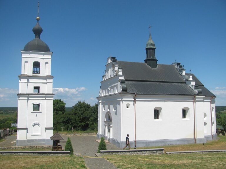
In 1568, a small, secluded Orthodox monastic community, or skete, was founded in the eastern part of the hill fort. The Motronynsky Monastery was established there in 1620.
Archaeological investigation and protection
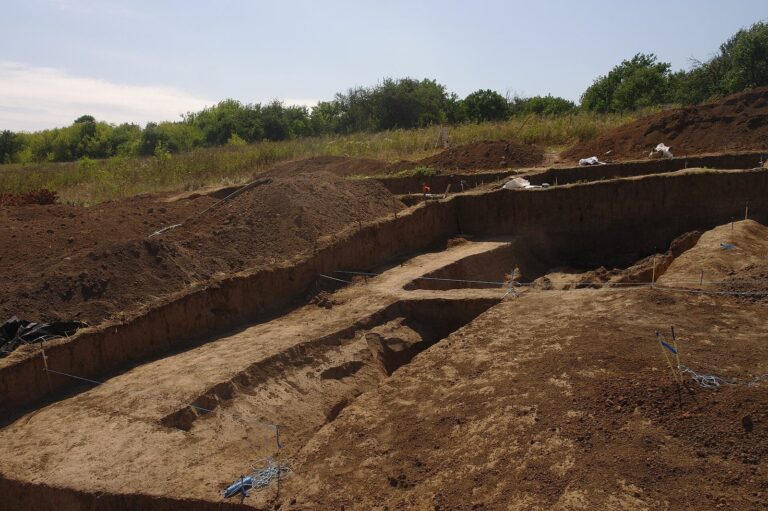
Investigations involved A. A. Bobrinsky, V. V. Khvoyka, E. F. Pokrovskaya, M. I. Vyazmitina, A. I. Terenozhkin, and V. A. Ilyinskaya, as well as expeditions of the Institute of Archaeology of the National Academy of Sciences of Ukraine. A joint Ukrainian-Polish expedition also worked at the site with the Chyhyryn National Historical and Cultural Reserve. Since 2017, the Institute’s Scythian Right-Bank Expedition, led by O. D. Mohylov, has continued research; in 2021 it investigated a distant group of burial mounds. The hill fort is designated a cultural heritage monument of national significance in Ukraine.
Remains
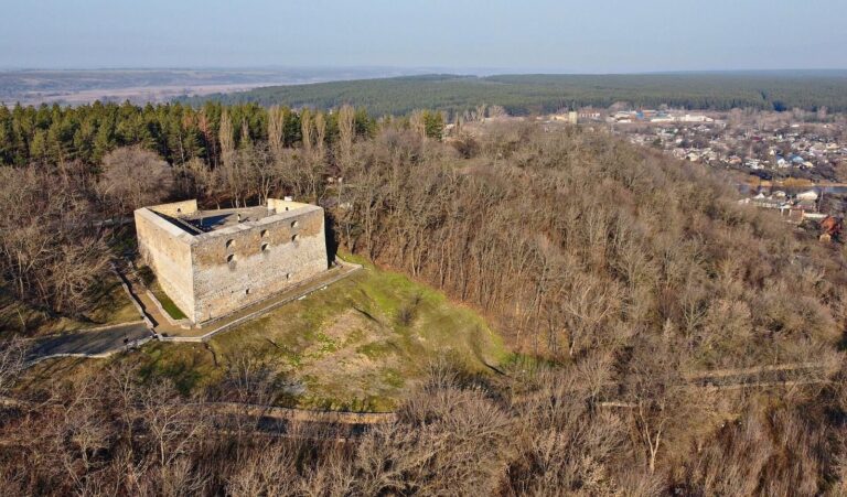
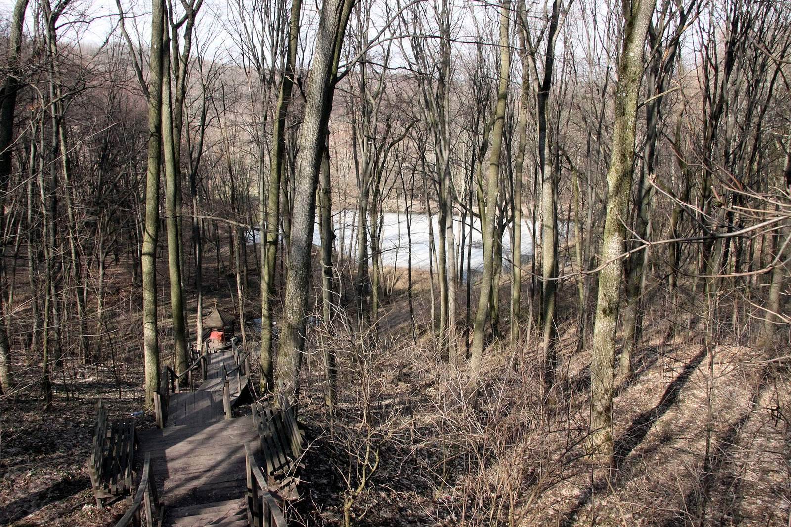
The settlement occupies a high plateau in the secluded center of Kholodnyi Yar, at the edge of a large forest. The site covers about 200 hectares and has an irregular oval form. The plateau is about three kilometres in diameter and lies 224 metres above sea level. The defenses combined earthen ramparts, meaning defensive embankments, with ditches and a timber palisade. Inner defenses divided the settlement into two areas.
Defensive system
Outer perimeter
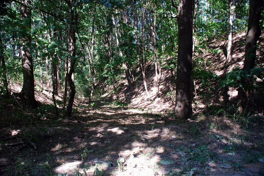
The outer line consisted of a rampart and ditch. The rampart reached a maximum height of 10.5 metres and width of 25 metres; the ditch was up to six metres deep and 15 metres wide. A palisade about 2.5 metres high stood on the rampart. On the settlement side, a buried triangular support, about one metre high and two metres wide at its base, strengthened it. Horizontal oak logs lined the crest, extending 6.5 metres toward the settlement and three metres toward the ditch.
The outer rampart was interrupted at five points: three entrances and two channels where small streams rose within the settlement. On three sides, shorter rampart sections ran at right angles to the main defense, joining the entrances and flanking approaches to the gates.
Inner division
The inner defenses enclosed two settlements of roughly equal size, separated by a rampart running north to south. Together, these inner areas covered about 70 hectares.
Houses and productive areas
Dwellings
About 30 dwellings are known. Some were sunken, post-frame structures, built with upright posts supporting the building, and measured nine to twelve square metres. They were roughly circular or oval, with walls of earth or light organic material covered in clay. A central post supported a conical roof. Other houses were rectangular, either built above ground or sunk to less than a metre. Cooking hearths stood outside the houses, while smaller hearths for heating were placed indoors.
Craft and open areas
A craft center occupied the southeastern part of the settlement. Open areas elsewhere may have accommodated nomadic wagons and yurts.
Burial mounds and approaches
Burial mounds
Three groups of burial mounds, also called barrows, surround the hill fort. Together they comprise 80 mounds.
Routes across the site
Routes crossing the site may follow older approaches. One entered from the east and continued south; a branch heading west led toward Zhabotyn. A separate exit in the northern part of the settlement led toward Lubentsi.