Markovi Kuli: A Medieval Fortress and Archaeological Complex in North Macedonia
Site at a Glance
- Country
- North Macedonia
- Primary era
- Medieval
- Eras represented
- Iron Age, Classical, Medieval, Early Modern, Modern
- Civilizations
- Byzantine, Ottoman, Serbian
- Site type
- Military
- Remains
- Citadel
On this page24 sections
History
Markovi Kuli is a fortress and archaeological complex northwest of Prilep, North Macedonia. Its first medieval fortress is thought to have been built under Byzantine rule in the tenth century, above a site occupied since the Late Neolithic. The fortress later served as a seat of regional government and as the center of Marko’s realm.
Early settlement and Byzantine rule
In Early Antiquity, a fortress known as Keramija took shape at the site and was renewed in Late Antiquity. The surrounding settlement remained rural until the end of antiquity. After the Battle of Belasitsa in 1014, the medieval ruler Samuil came to Prilep and waited for troops who had been blinded. He died there.
A charter issued by the Byzantine emperor Basil II in 1020 placed Prilep under the authority of the Pelagonian bishop, a church official responsible for the bishopric of Pelagonia. Prilep also appears in a charter of the emperor Alexios II Komnenos from 1199.
Changing rulers in the thirteenth and fourteenth centuries
Prilep changed hands repeatedly during the thirteenth century. It was controlled at different times by Epirus, Bulgaria, and Nicaea, Byzantine successor states. In 1200, the regional ruler Dobromir Chrys briefly took the town from Byzantine control. The Serbian king Milutin captured it later in the century, and in 1334 the Serbian kingdom took it from Byzantium.
During the Latin Empire, a short-lived state established after the Fourth Crusade, the fortress occupied the summit and courtyards B and C. In the late thirteenth century, a passage was cut through Tower 34 into courtyard D, while an earlier gate was blocked.
Under the Serbian ruler Dušan, Prilep became an imperial court center. In 1350, Dušan entrusted its administration to Vukašin Mrnjavčević, who became king in 1366. After Vukašin died at the Battle of Maritsa in 1371, his son Marko ruled from Prilep, which became the center of his small realm. Marko was an Ottoman-dependent ruler and died at the Battle of Rovine in 1395.
The fortress underwent its last major medieval expansion during the reigns of Vukašin and Marko, as its defensive lines were extended and strengthened. The three defensive belts reached their final form during the late medieval and Ottoman periods.
From Ottoman garrison to village landscape
After Marko’s death in 1395, Ottoman forces took Prilep and placed a garrison in the fortress’s upper citadel. The garrison numbered 18 soldiers in both 1468 and 1519, then five in 1544. The fortress was abandoned soon afterwards. The lower defensive belt may have provided temporary refuge for people fleeing Ottoman raids in the late fourteenth century.
Varoš continued as a Christian village, while an Ottoman village several kilometres to the south, at a crossroads, developed into present-day Prilep. The medieval suburb of Varoš grew along the southern and southwestern foot of the fortress. Its name probably dates to the late fourteenth century, and a marketplace there is mentioned in writing from the fourteenth century. After the Ottoman arrival, nearby Potkuli became an area of iron and non-ferrous metalworking.
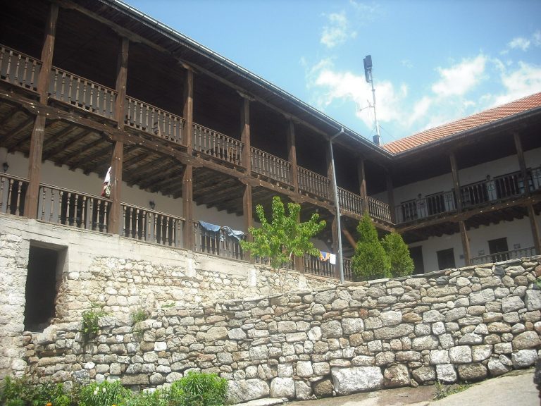
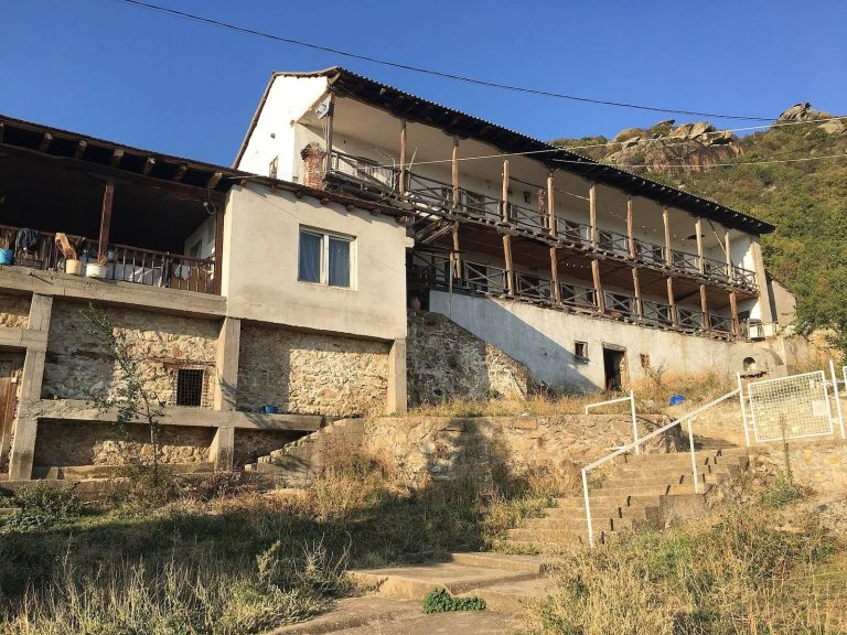
The monastery of St Michael occupies a complex that served as the Byzantine governor’s residence in Prilep from the eleventh to the fourteenth century. At the end of the thirteenth century, a governor who had temporarily become a monk converted the palace into a monastery. After his death, the complex returned to residential use, including under Vukašin and Marko.
Archaeological excavations at Markovi Kuli began in 1959. The site was declared a natural monument in 2006.
Remains
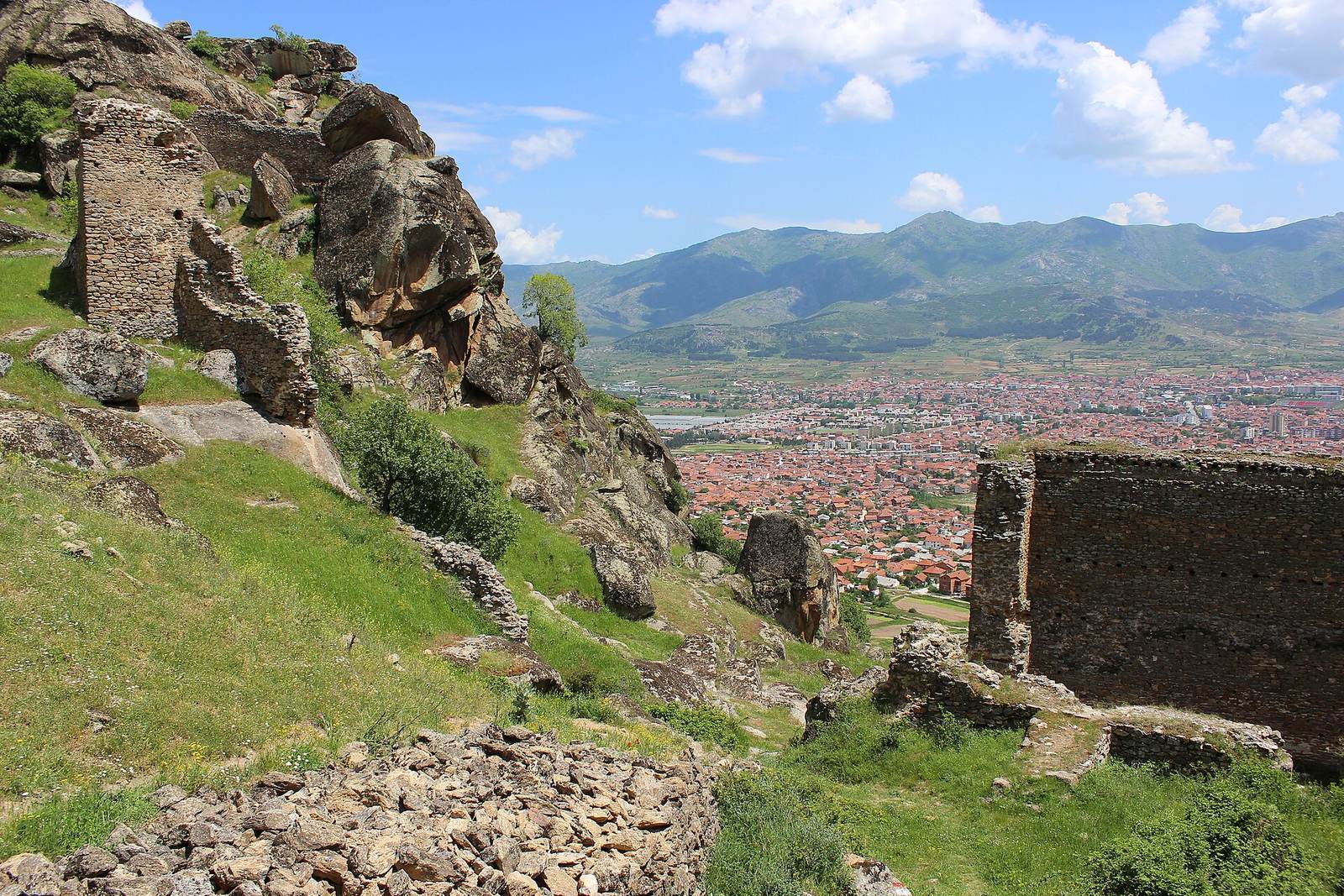
The fortress stands on a ridge above Varoš, rising about 120 to 180 metres. A deep saddle separates the ridge from the surrounding mountain, while a broad, level saddle in its upper central area provided room for settlement. The site looks over the northeastern part of the Pelagonia plain, with major routes converging below. Its steep slopes are strewn with large granite formations that served as foundations for walls and towers. The fortress occupied four prominent rocky summits, along with intervening terraces, hollows, and saddles. By area, it has been assessed as one of the five largest fortresses in the Balkans.
Defensive walls, gates, and water systems
Upper citadel
The upper citadel occupies the highest summit. Its enclosure measures about 150 by 120 metres and was divided by inner walls. Two cisterns, constructed reservoirs for storing water, date to Late Antiquity and lie in the citadel’s northern part.
Lower and outer defensive belts
The second belt enclosed the lower settlement in a saddle south of the citadel, an area of about 3.6 hectares. The third extended along the western and southern slopes, where short, irregular walls closed gaps between the rocks. A long, narrow terrace of about 4.5 hectares in this outer belt was partly enclosed by a relatively light wall. Rock-cut graves are visible in its western part, where settlement remains are sparse.
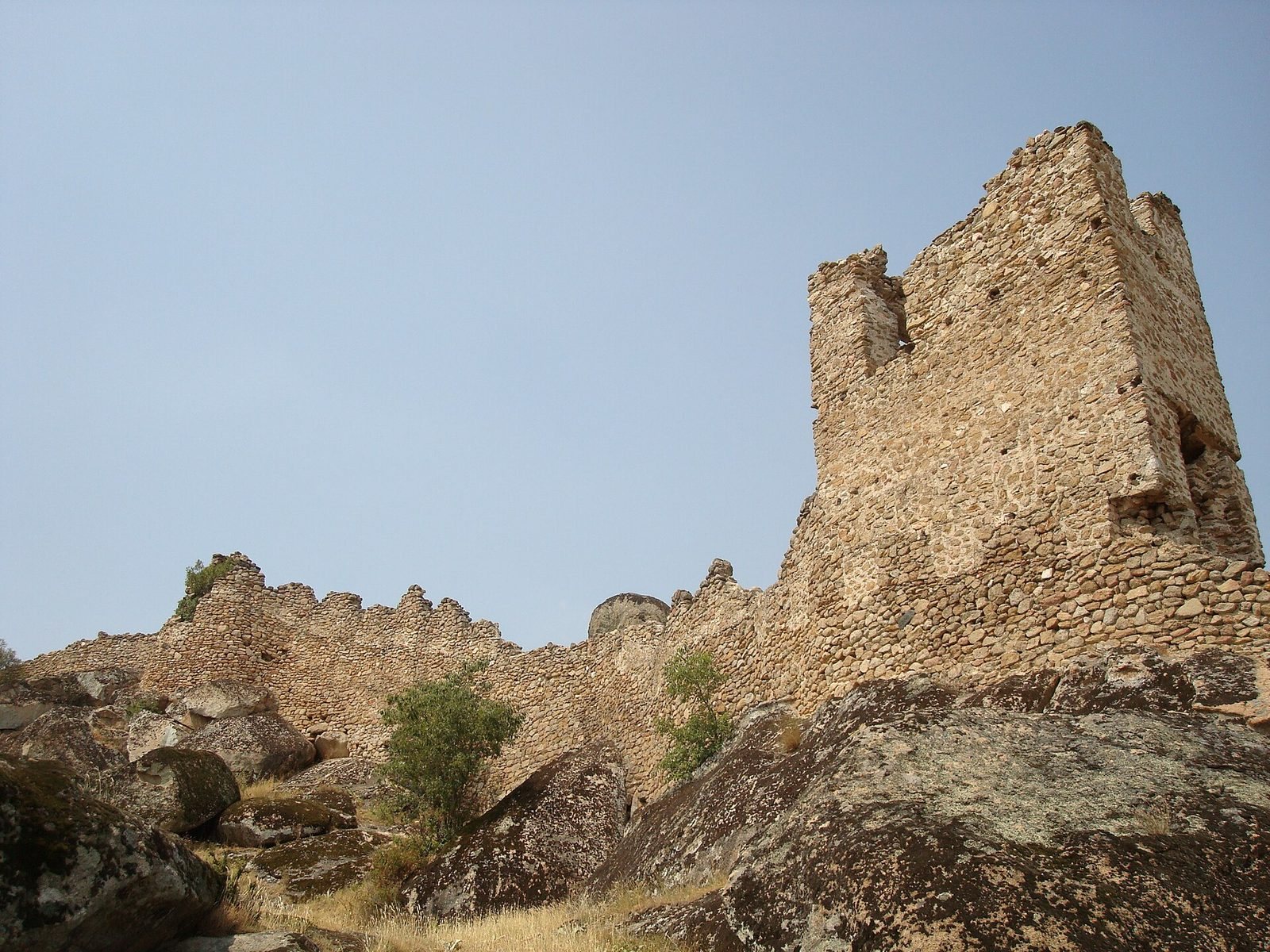
The surviving ramparts are chiefly from the thirteenth and fourteenth centuries. Built with lime mortar, they are about 1 to 1.3 metres thick and follow the uneven ground, often resting against large rocks. Some low surviving stretches retain arrow slits. Sections of the lower settlement’s western and eastern walls remain, while other parts have fallen down the slope.
Gates and towers
The main fortress gate lies on the northwest side of courtyard E. Its outer section is medieval and retains traces of frescoes; the inner section dates to the Ottoman occupation. The citadel has a separate north gate whose complex foundations indicate repeated alteration. A service entrance for livestock and work stood at the northern corner of the first belt, below a granite outcrop. Other gates linked the inner areas, and a gate in the third belt toward Prilep is inferred.
Towers vary in plan, with square, rectangular, circular, oval, drop-shaped, and irregular forms. A large, multi-storey tower stands between courtyards B and C, near an entrance from the first defensive belt.
Cisterns beyond the citadel
Other water-storage installations include a cistern in Tower 2 near the second rampart and another at building 29, to its west. Courtyard B had a cistern for collecting rainwater. The largest cistern is in Tower 1, within the southeastern wall of the third belt. It received overflow from Tower 2 and may also have supplied part of eastern Varoš.
Palaces, residences, and work buildings
Palaces and official residences
The upper citadel contains remains of a palace associated with Vukašin and Marko. In courtyard A, below the summit, are structures identified as the city residence and the commander’s apartment. A separate palace with a complex plan stands northeast of the main gate and dates to the tenth century.
Feudal residences also occupied the western and southern terraces. At points 56 and 86, a complex dating from the twelfth to fourteenth centuries included residential and work buildings, a stable, a smithy, and a court church.
Economic and service buildings
A large rectangular building stands on a lower terrace west of the residence, in the upper part of courtyard B. It retains traces of building work from the sixteenth or seventeenth century. Courtyard C contains remains of workrooms, stables, and workshops. A building from the nineteenth century in courtyard B accommodated shepherds and their animals and was used to process dairy products.
Houses and domestic activities
Traces of houses cut into or built against the rock include sockets for wooden posts, square-beam fittings, and supports for wattle walls. Associated features include grain-storage pits, ovens, troughs for washing and bread-making, impressions left by hand mills, mortars, and small grape presses. Circular post holes and wattle traces are associated with Slavic inhabitants of the ninth and tenth centuries. Houses using square beams, sometimes combined with rubble-stone walls, date to the twelfth through fourteenth centuries. Other remains include early wooden houses, foundations cut into rock, and pit-shaped ovens that are difficult to date.
Churches, paintings, and burials
St Michael complex
The St Michael complex includes the present church and a residential wing to its west. Beneath the church’s western part are remains of a secular building, and traces of earlier structures survive in the foundations of the western wing. A painted composition on a wall on the church’s north side, beneath the floor, dates to the second half of the twelfth century. East of the church, frescoes from the mid-eleventh century survive on the surface of a rock that once stood vertically.
Churches and cemeteries
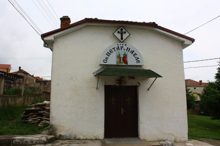
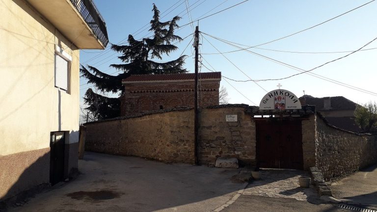
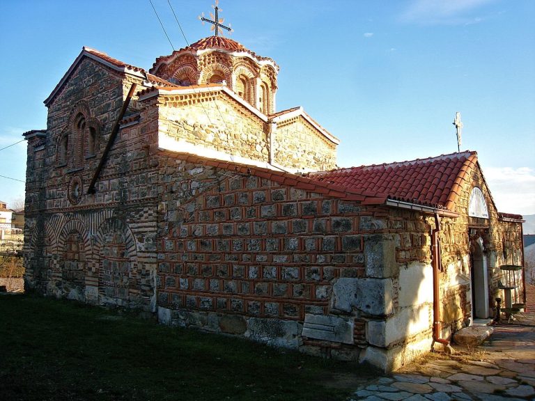
The neighbourhoods of medieval Varoš were associated with churches and cemeteries dedicated to St Demetrius, St Nicholas, St Peter, St Mary, and St Athanasius. About 200 graves have been excavated around the churches. Within the third defensive belt, the first suburb included a single-nave church with a tower at its southeastern corner. Marble decorative fragments found in the southwestern foothill settlement have been attributed to an early Christian basilica.
Other burial and painted remains
A group of graves cut into the rock lies beneath the western wall of the third defensive belt and dates to the sixth century. A large burial ground on the southeastern side of the ridge and a stone throne below a saddle are associated with the Slavic period of the ninth to eleventh centuries. The throne lies near a carving in the rock shaped like an elephant. Medieval paintings also survive on rocks below the summit and in courtyard A.
Earlier occupation and agricultural remains
Prehistoric and ancient settlement
Excavated deposits include pottery from the Late Neolithic, remains from the Bronze and Iron Ages, and abundant Hellenistic pottery and building ceramics. The Hellenistic period followed the conquests of Alexander the Great and saw the rise of Greek-influenced kingdoms. Traces in the northeastern wall of courtyard C point to early fortress construction, destruction, and rebuilding during the Roman-Macedonian wars of the third and second centuries BC, conflicts between Rome and the kingdom of Macedon.
From the first through fourth centuries AD, an unfortified settlement stood at the southwestern foot of the ridge, surrounded by burial grounds. Marble fragments from this area have been linked to an early Christian basilica.
Hellenistic grape processing
Courtyard B contains a Hellenistic arrangement of channels and pits used to press grapes and filter the juice. Nearby holes cut into the rock served to tether the four-legged animals that carried grapes to the processing area.
Potkuli and the Varoš foothills
Potkuli
Potkuli, southeast of the fortress, forms part of the archaeological complex and now contains city water-supply cisterns. Finds spanning prehistory through the Ottoman period include pottery and metal objects, grain pits, and wells. A burial ground from the twelfth and thirteenth centuries is also represented. Large grain pits from the late thirteenth and first half of the fourteenth century indicate use as a city granary. A stone-paved road from that period was 2.30 metres wide, with Ottoman-period cobbles laid over it.
Ottoman-period circular pit houses contain pottery fragments. Their interpretation as evidence of an early Roma settlement is linked to the employment of Roma as metalworkers in Ottoman military formations. Human remains from executions by dismemberment in the second half of the fourteenth century were found in their original positions.
Varoš
The medieval suburb extended along the southern and southwestern foot of the ridge and was divided into neighbourhoods associated with a church and cemetery. The churches and their surrounding burial grounds give physical evidence of this neighbourhood pattern, while the excavated graves form part of the archaeological remains of the settlement.
Markovi Kuli is now largely in ruins, although portions of its walls, buildings, churches, and other remains survive.