Lussonium Fort: A Roman Danubian Frontier Fort in Hungary



Site at a Glance
- Rating
- 4.5
- Popularity
- Low
- Country
- Hungary
- Primary era
- Classical
- External website
- Open
- Eras represented
- Classical
- Civilizations
- Roman
- Site type
- Military
- Remains
- Fort
On this page19 sections
History
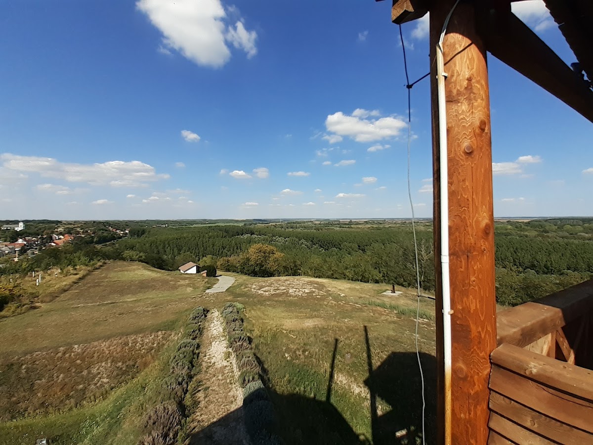
Lussonium Fort was a Roman military installation in Hungary, near modern Dunakömlőd at Paks, established around the middle of the first century CE on the Danubian frontier. Built by Rome on a loess hill above the western bank of the Danube, it controlled a strategically useful position overlooking the surrounding area and a nearby river crossing.
Foundation and Early Fort
The earliest auxiliary fort probably dates to the reign of Emperor Claudius or Nero. Auxiliary units were non-legionary Roman formations commonly recruited from provincial or allied populations. At Lussonium, the first installation used timber and earth, with barracks and defensive works constructed from local materials. Decorated Italian pottery, early ditches, an earth rampart, and traces of timber buildings support a foundation in the mid-first century. A Roman gravestone had previously pointed to the Flavian period, the era of the emperors Vespasian, Titus, and Domitian.
The fort guarded Rome’s Danubian Limes, the frontier system along the river. This frontier consisted of connected forts, camps, roads, watchtowers, and river-crossing installations rather than one continuous wall. Lussonium faced territory associated with the Jazyges, a Sarmatian people living on the opposite bank of the Danube.
The garrison included the Cohors I Alpinorum peditata and the Cohors I Alpinorum equitata. These auxiliary cohorts probably comprised between 500 and 1,000 soldiers. The equitata unit combined infantry with a mounted component. Brick stamps also connect the site with the partially mounted cohort and indicate military building activity. Other units associated with Lussonium include the Cuneus equitum Constantianorum, the Equites Dalmatae, and a detachment of Legio II Adiutrix, although the precise sequence of their service at the fort remains uncertain.
Changes in the Roman Period
The early fort was probably abandoned during the later second century. A stone fort may then have been established elsewhere, while military activity in the Lussonium area possibly continued during the third century. The associated civilian settlement developed beside the fort during this period. Known as a vicus, it provided housing, trade, services, and agricultural support for the garrison, nearby villa farms, and partly Romanized indigenous villages.
The late Roman stone fort was probably built during the Tetrarchy or the reign of Constantine I. The Tetrarchy was an imperial system created by Diocletian in which two senior and two junior emperors shared power. Constantine later reunified imperial rule and governed until 337. Lussonium remained part of the Roman frontier system during this late-antique reorganization.
Near the end of the fourth century, the late Roman fort was demolished and a smaller fortified installation was built over part of its remains. A small garrison may have continued there, possibly including Germanic federate troops serving Rome. Occupation lasted into the early fifth century, before the fort was eventually abandoned during the beginning of the Migration Period. Roman rule in the region had lasted for roughly four centuries and was accompanied by continuous settlement and the development of a Romanized culture.
Ancient geographical and administrative works preserve several forms of the site’s name, including Lussonium, Lussunio, Lusione, and Alusione. These names identify the place within the Roman landscape of the Danubian frontier.
Later Fortification and Identification
In 1705 and 1706, troops associated with János Bottyán re-fortified the hill during the uprising led by Francis II Rákóczi against Habsburg rule. Fighting around the resulting Kuruc fortress repeatedly damaged the ancient remains. The hill consequently became known as Bottyán-sánc.
The nearby abandoned settlement was repopulated in the late eighteenth century by settlers acting under the authority of Empress Maria Theresa. Surveying for the new settlement produced a map that showed the Roman fort as a regular quadrilateral. By that time, the eastern part had already been lost to the Danube.
Luigi Ferdinando Marsigli made detailed maps of the visible Roman remains, although he mistakenly identified the site as Aquincum. Mór Wosinsky correctly identified the historical site as Lussonium in 1896.
Excavation and Preservation
A badly fire-damaged fragment of a military diploma was found on the hill in 1969. A military diploma was a bronze document recording an auxiliary soldier’s honourable discharge and the legal privileges granted to him and sometimes his family. Zsolt Visy carried out an emergency excavation that year, recovering additional fragments and a second diploma. Investigation of the fort itself began in 1972, followed by major campaigns between 1987 and 1990 and further excavations with only limited interruptions.
A 1996 survey on a hill west of the fort uncovered remains of the associated civilian settlement, and systematic investigation of the vicus began in 1998. The excavated remains are presented in the archaeological park. Many finds are displayed in the permanent exhibition of the Paks City Museum, while other objects are held by the Hungarian National Museum.
In 2003, the southern gate, the barracks north of it, and the late Roman small fort were restored as monuments for presentation. In 2008, the reconstructed northern wall and gate tower were inaugurated. The restoration execution plans were prepared by architect Ágnes Harsányiné Vladár. Lussonium was also included in Hungary’s participation in the international Danube Limes UNESCO World Heritage programme, begun in 2008 to document and present surviving Roman frontier monuments and prepare the Danube frontier for possible inclusion in a shared World Heritage designation. The archaeological sites at Dunakömlőd and its surroundings are protected as nationally valuable cultural property under Hungary’s 2001 monument-protection legislation, while archaeological finds are state property under the same legal framework.
Remains
Fort Layout and Defences
Lussonium occupied an elongated, almost rectangular plateau aligned approximately with the cardinal directions. The fort measured about 220 metres in length and between 40 and 70 metres in surviving width. The late-antique stone fort is described as roughly 250 metres long. The eastern slope fell steeply toward the Danube, and approximately 130 metres of that slope slid into the river between Roman times and the nineteenth century. The modern river follows a different course from the ancient one, complicating reconstruction of the original setting.
Early Timber-and-Earth Fort
The earliest fort was enclosed by an earth rampart and two pointed defensive ditches belonging to different phases between the first and third centuries. Timber barracks used timber-frame construction, with surviving post traces showing posts placed about 0.50 metres apart. The spaces between them were filled with clay bricks. Altered wall lines indicate at least one rebuilding phase within the early installation.
Late Roman Stone Walls
The late-antique fort had walls approximately 1.30 to 1.50 metres thick. In some places, the fourth-century wall was founded over earlier Roman layers and rebuilt with fired roof tiles. Its defensive ditches were successively about 8 metres wide and 3 to 4 metres deep, then about 12 metres wide and 4 to 5 metres deep.
Northern and Southern Gates
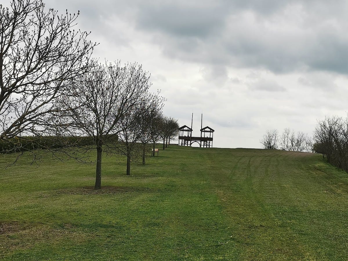
Two single-lane gates stood in the short sides of the fort, one to the north and one to the south. Each entrance was flanked by two rectangular towers measuring approximately 3.10 by 4.35 metres. The tower walls were about 0.90 metres thick, while those on the inner-access side measured about 0.60 metres. The archaeological park preserves and partly reconstructs the areas around both gates. One formerly stone gate was rebuilt to full height as a simplified wooden reconstruction, while other wall remains are conserved at ruin level.
Buildings and Late Installations
Southern Barracks
A stone barracks building at the southern end measured approximately 27 by 14.50 metres. A wooden portico, about 2 metres wide, ran along its front beside the main camp road connecting the northern and southern gates. Inside, the building was divided into two large groups of rooms, with rooms and passageways opening onto the portico. Renovations and minor alterations changed the building over time. Erosion and later damage make its precise relationship to the defensive wall uncertain, since it may have stood directly against the wall or been separated from it by an internal ring road.
Northwestern Stone Building
A stone building in the northwestern corner had a channel-heating system and a portico. Its possible connection with partial civilian reuse of the fort during the fourth century remains an interpretation. Wooden-post structures from the late fourth or early fifth century were founded on the ruins of this heated building, linking the area with the final phase of occupation.
Grain Pits and Final Tower
Two equal-sized, beehive-shaped grain pits belonged to the final Roman installations. They were filled when the fort was demolished near the end of the fourth century, and the contemporary defensive ditch was levelled.
The final post-fortification installation was a powerful multistorey tower at the southern end of the site. It measured approximately 10 by 10 metres and had walls 2.30 metres thick. The tower was built over parts of the former barracks and the main camp road. Two graves near the tower contained Germanic objects dating to the first third of the fifth century.
Vicus and Archaeological Finds
Civilian Settlement
The vicus lay west of the loess slope and is partly covered by the modern village. Its excavated remains include first-century timber-and-clay buildings, stone houses of the third and fourth centuries, refuse pits, and a water-collection basin or cistern. One house stood on stone foundations and had a colonnaded portico. The change from timber-and-clay buildings to stone houses reflects the settlement’s development alongside the Roman fort and the surrounding agricultural communities.
Military and Civilian Objects
Excavations recovered gravestones, altars, inscription fragments, military diplomas, stamped bricks, weapons, tools, lamps, weighing equipment, pottery, and other Roman objects. The stamped bricks identify building activity involving several military units and officials, including Legio II Adiutrix, Cohors VII Breucorum, the army of Lower Pannonia, and officials active under Valentinian I. Late Roman and smoothed-decorated ceramics from the northwestern area and other parts of the fort may indicate production by a local workshop.
Two military diplomas found in 1969 belonged to honourably discharged soldiers of Cohors I Thracum Germanica. They were discovered beneath the ruins of a second-century house probably destroyed during the Marcomannic Wars, the conflicts between Rome and Germanic and Sarmatian peoples in the later second century. A fragment of a third diploma, dating from the autumn of 152, came from the fill of the late-antique ditch in 1990. The veterans belonged to the local Eraviscan population and lived in the house with their families after receiving discharge on 8 February 157.
Milestones and Religious Evidence
A milestone fragment found at the southern gate gives the distance to Aquincum as 68 Roman miles. Other milestones from Dunakömlőd record 73 miles under Severus Alexander and 97 miles under Maximinus Thrax. Their find circumstances show that some milestones had been moved from their original positions and reused as building material.
A relief of Mithras shows the deity killing a bull. Mithras was a mystery-cult deity whose worship spread widely among the Roman army and provincial communities. The relief reflects the religious practices of the military population at Lussonium.
Objects recovered near Bottyán-sánc in 1815 provide indirect evidence for a sanctuary dedicated to Jupiter Dolichenus, a Roman military deity of eastern Syrian origin. The finds include two similar bronze votive triangles, originally joined back-to-back and carried on a pole, and a bronze statuette of Victoria standing on a globe with a palm branch and a now-lost wreath. One triangle depicts Jupiter Dolichenus standing on a bull with a double axe and thunderbolt, with a smaller Victory behind him. Its inscription dedicates the object to Jupiter Dolichenus by Publius Luculius, a centurion of the partially mounted Alpine cohort.
A partly damaged altar found in 1815 in the Danube bank below Bottyán Hill was dedicated to Jupiter Dolichenus by the prefect Lucius Iulius Passenianus. The dedication sought protection for himself and his father, Marcus Iulius Catullus, and records the fulfilment of his vow.
Imperial Bronze Statue
In 2009, archaeologists recovered the foot of a bronze statue depicting a Roman emperor in military ceremonial dress. The object stood more than 70 centimetres high and was reconstructed in an almost complete form.
Nearby sites