Kuşaklı: The Planned Hittite City Generally Identified as Sarissa
Site at a Glance
- Popularity
- Medium
- Country
- Turkey
- Primary era
- Bronze Age
- Eras represented
- Bronze Age, Classical
- Civilizations
- Hittite, Roman
- Site type
- City
On this page23 sections
History
Kuşaklı is an archaeological site near Başören in Sivas Province, Türkiye, generally identified with the Hittite city of Sarissa, although that identification remains debated. The Hittites, a Bronze Age people whose kingdom and later empire were centered in Anatolia, founded the planned city in the last third of the 16th century BC.
Hittite foundation and rule
Hittite records place Sarissa in the Upper Land, a regional term used in those records, and describe it as an imperial city. They also say that the Great King, the Hittite title for the highest royal authority, regularly visited to perform rites for the Weather God, a major Hittite deity. Anzili was identified as the god’s partner.
The Weather God of Sarissa is named alongside the Weather God of Šapinuwa in two treaties. One was made between the Hittite king Šuppiluliuma and Šattiwazza, king of Mitanni; the other was concluded by the Hittite king Hattusili III and the Egyptian pharaoh Ramesses II. These references place Sarissa’s deity within the religious and diplomatic world of the Hittite realm.
Sarissa’s political position in the 13th century BC is uncertain. Records continue to call it an imperial city, while texts from the century’s second half refer to a king and a lord of the city. These titles may point to local rule, either independent or under a more powerful ruler as a vassal.
A text dating to around 1280 BC names the senior official Arma-Tarḫunta. After he fell from favor, a house he owned at Sarissa was taken from him and transferred to the House of Labarna, an institution also known at the city but otherwise poorly understood.
Destruction and resettlement
Earthquakes affected Sarissa in both the 14th and 13th centuries BC, but the city survived them. Building C suffered earthquake damage and was repaired. It was later abandoned in the early 14th century BC, when the city was captured and plundered and at least part of it was burned.
Around 1200 BC, another fire brought the Hittite city to an end, probably through enemy action. Some damage was repaired, and occupation continued on a reduced scale. After a gap of several centuries, people resettled the site between the 8th and 6th centuries BC. Its political affiliation during this period is unknown. A short-lived fortress was destroyed in fighting, though the participants are not known.
Later occupation and archaeological work
A burial mound was built at the city’s highest point around the beginning of the Common Era. The site’s history also includes a renewed occupation in the early first millennium BC, reflected in its pottery and fortress remains.
A clay tablet found at Kuşaklı in 1992 brought attention to the site. Annual excavations followed from 1993 to 2004 under the direction of archaeologist Andreas Müller-Karpe.
Remains
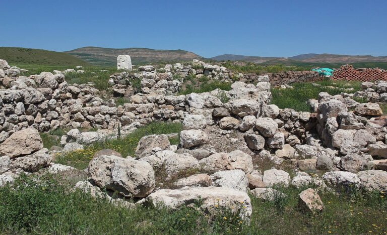
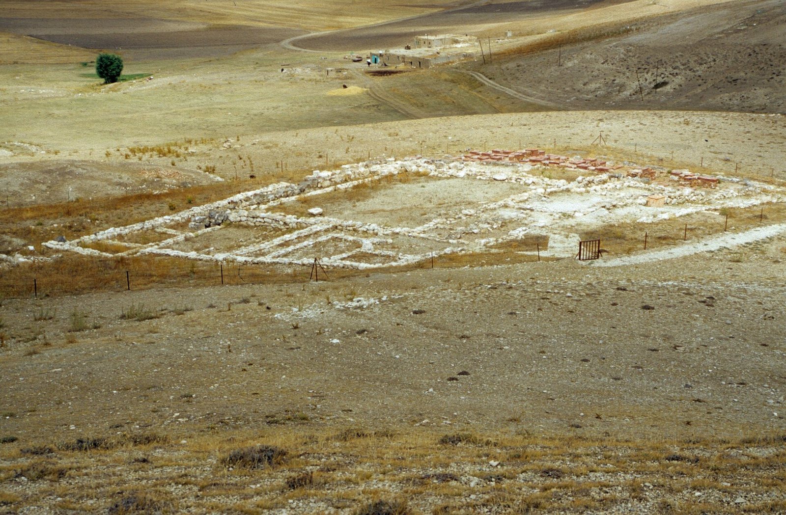
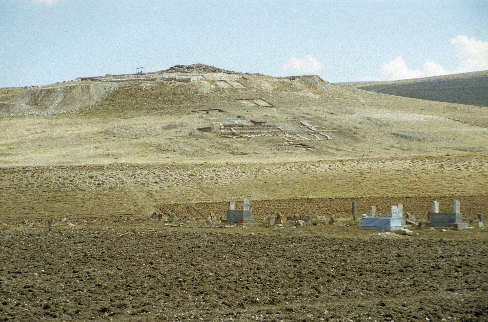
Kuşaklı covers about 53 hectares in a basin of steppe vegetation on the eastern Anatolian plateau. The settlement was divided between an upper city on a hill and a lower city extending north across level ground. The lower city was added in the 14th century BC and has been heavily damaged by agriculture. On the hill, the acropolis, the elevated and often fortified center of an ancient city, had an orderly plan; the wider settlement included more irregular residential blocks.
City plan and defenses
Streets and settlement layout
On the acropolis, streets followed a central axis and buildings were arranged in regular blocks. Elsewhere, excavated houses had less regular plans, with narrow streets between them. Main roads extended outward from the acropolis. This layout combined a planned elevated center with residential areas fitted to the broader terrain.
Walls and gates
The upper city wall ran for about 1.5 kilometres and had 48 towers and four gates. It was built as two parallel wall faces, connected by cross-walls at intervals of about five to six metres. The entrances at the southeast and northwest have been excavated, and each was flanked by substantial towers. One gate follows a design associated with Syria and the Levant. Burn marks at the gates indicate that they were set on fire during the city’s capture. Timber from the northwest gate has a tree-ring felling date of 1530 BC, though this dating has not been peer-reviewed. The lower city wall extended for about 2.8 kilometres.
Temples and other large buildings
Building C
Six buildings have been distinguished on the acropolis. Building C occupied much of its southwestern area and formed a large complex measuring about 76 by 61 metres, with an area of approximately 4,660 square metres. A large central courtyard lay within the complex. Its use is identified broadly with temple worship, and it is thought to have been dedicated to the Weather God. It is the largest Hittite temple excavated to date.
Temple 1
Temple 1 stood in the northern part of the city. It measured about 54 by 36 metres and covered approximately 1,825 square metres. A central courtyard was surrounded by rooms. The temple may have been dedicated to Anzili.
Horse stables
A building near Temple 1 and the northeast gate has been identified as horse stables. Horse skeletons found inside had been crushed during an earthquake. The building may have served royal chariots, providing a place for their horses to be fed and cared for.
Residences and city infrastructure
Houses
Larger residences were excavated in the city center and western part of the settlement. They had a central hall and smaller rooms; House A also included a bathing room. On the western slope, houses stood close together, and the sloping ground meant that their floors were at different levels.
Water and grain storage
The city’s water supply was managed by damming streams flowing from the plateau. A water installation found near the northwest gate in 2004 is described as the oldest known dam in Anatolia. Central buildings used to store grain were also found.
Archives, seals, and pottery
Cuneiform archive
House A contained an archive of 45 clay tablets written in cuneiform, a system of wedge-shaped signs. The tablets, found in a southern room of a building in the western acropolis, date to the second half of the 13th century BC and are fragmentary and in poor condition. Their religious texts include material on the Weather God’s cult and rituals. The archive is the fourth major Hittite-language archive to have been discovered, and the smallest and latest of these major finds.
Seal impressions
Seal impressions from Temple 1 include one naming a previously unknown king. Impressions from across the city preserve the title ‘King of the city of Sarissa’. One gives a king’s name as Mizima, though the reading is uncertain and the title does not establish his precise position. Other impressions preserve the names Lazzi, Armizzi, Luwa, Hatzi, Suppiluliuma, Tarhuntaija, and Samili; the readings of Armizzi and Tarhuntaija are uncertain. Luwa is identified as a scribe, while Hatzi may have been a charioteer.
Pottery and Mycenaean vessel
Pottery was recovered in large quantities. Early Iron Age examples were wheel-made and continued ceramic traditions from the Hittite imperial period. Pottery from the later occupation has Phrygian forms, though those forms alone do not show that the city belonged to the Phrygian kingdom.
In 2004, excavators found Mycenaean pottery alongside local ceramics at the northwest gate. Fragments from burned debris in the gate’s northern tower allowed a vessel to be reconstructed. It had small horizontal handles on its shoulder and horizontal stripe decoration. The imported vessel belongs to Late Helladic II, a phase of the Mycenaean Bronze Age, and dates to the second half of the 15th century BC. Kuşaklı lies about 800 kilometres from the Aegean coast and is the easternmost known findspot of Mycenaean pottery, evidence of contact between the Mycenaean world and the Hittite realm.
Southern sanctuary and later structures
Pool and sanctuary
A Hittite-period pool and sanctuary lie about two kilometres south of the city. They may mark the location of the Huwasi stone, a cult object associated with worship outside a city. Hittite texts connect such a stone with the Great King’s rites for Sarissa’s Weather God.
Fortress
A round fortress stood at the highest point of the upper city during the 6th century BC. It belonged to the short-lived occupation that followed the site’s resettlement.
Burial mound
The burial mound at the city’s highest point contained a stone-lined chamber with remains of six skeletons. The chamber had been looted in antiquity.
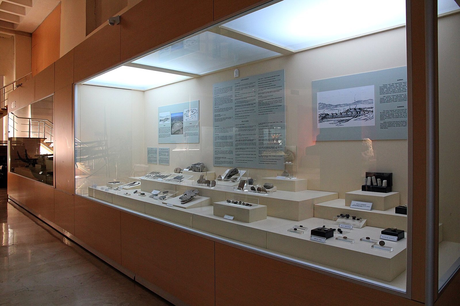
Most of the finds are displayed at the Sivas Archaeological Museum.