Lohagad: A Historic Hill Fort in Maharashtra, India
Site at a Glance
- Rating
- 4.7
- Popularity
- Very Low
- Country
- India
- Primary era
- Early Modern
- Eras represented
- Classical, Early Modern
- Civilizations
- Unclassified
- Site type
- Military
- Remains
- Fort
On this page16 sections
History
Lohagad is a historic hill fort in India, standing in the Western Ghats above Lohagadwadi in Maharashtra. Its history extends to the Satavahana period, and its position near an ancient trade route helped give the hill lasting importance. Chalukya, Rashtrakuta, and Seuna rulers also left traces at the site, which later came for a time within the territory of the Bahmani Sultanate, a medieval Islamic state centered in the Deccan.
Early and Medieval Phases
The fort’s early history is connected with successive ruling dynasties of the Deccan. The Satavahanas, Chalukyas, Rashtrakutas, and Seunas, also known regionally as the Yadavas, controlled parts of the region at different periods. During the Islamic period, Lohagad was included for a time in the Bahmani Sultanate. The surviving fortification fabric is probably largely the result of later Maratha construction, although its defensive architecture differs little from that of Mughal forts.
Jain activity also formed part of Lohagad’s early religious history. A Jain inscription discovered in 2019 on the outer wall of a rock-cut cave near Lohagadwadi probably dates from the first or second century BC. Written in Brahmi, an ancient South Asian script, and Prakrit, a group of Middle Indo-Aryan languages, it begins with the devotional formula “Namo Arihantanam,” referring to spiritually perfected Jain beings. The inscription names Ida Rakhita, or Indra Rakshita, as a donor of water cisterns and rock-cut benches to settlements in the area.
Maratha and Mughal Conflict
Chhatrapati Shivaji Maharaj, the founder of the Maratha state, captured Lohagad in 1648. The fort was surrendered to the Mughal Empire under the Treaty of Purandar in 1665, during the conflict between the Marathas and the Mughal power led by Emperor Aurangzeb. Shivaji recaptured Lohagad in 1670, and the fort was subsequently used to store treasure, including proceeds from the Maratha capture of Surat.
Peshwa and British Periods
During the Peshwa period, when hereditary chief ministers became the de facto leaders of the later Maratha Empire, the administrator Nana Phadnavis lived at Lohagad for a time. He commissioned several works there, including a large tank and a step-well, a water structure reached by descending steps.
Lohagad remained under Maratha control until 1818. That year, British forces captured neighboring Visapur Fort and bombarded Lohagad’s lower fortifications from there. The fort was later declared a protected monument. In 2025, it became one of the geographically separate components of the serial UNESCO World Heritage site Maratha Military Landscapes of India, inscribed under cultural criteria 4 and 6. The Lohagad component covers 13.25 hectares and has a buffer zone of 24,356.05 hectares.
Remains
Hilltop Fortifications
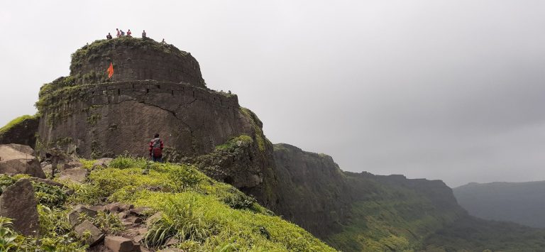
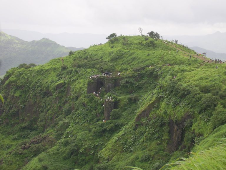
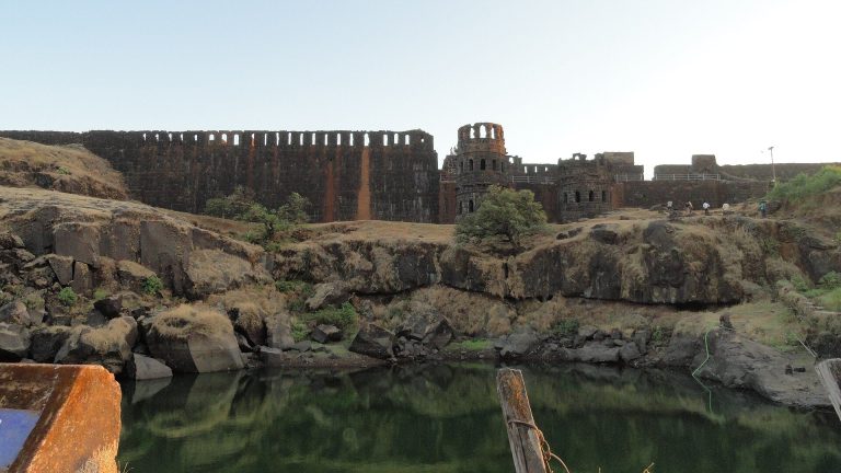
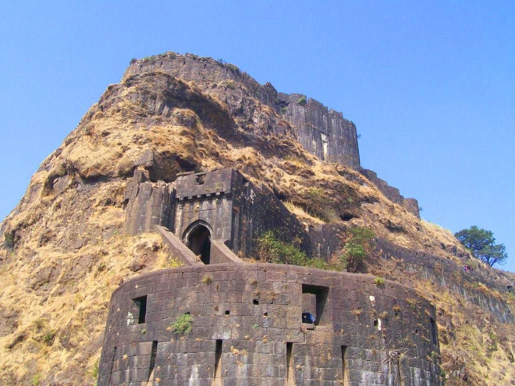
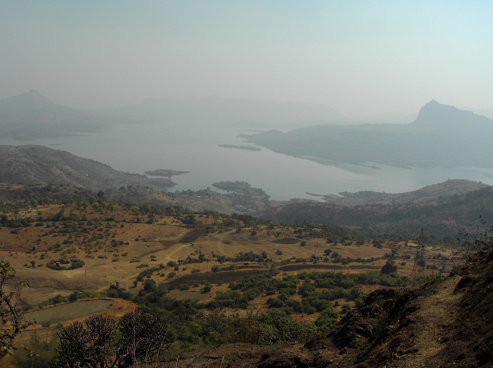
Lohagad occupies a narrow hilltop about 1,032 to 1,033 metres above sea level and roughly 200 metres above Lohagadwadi. A small ridge connects it with the larger Visapur Fort. The hill range separates the basins of the Indrayani River and Pavana Lake, while the fort overlooks the Pavana reservoir to the south. Its northwest extension forms the fortified spur known as Vinchukada, or “Scorpion’s Tail,” named for its curved shape.
Gates and Bastions
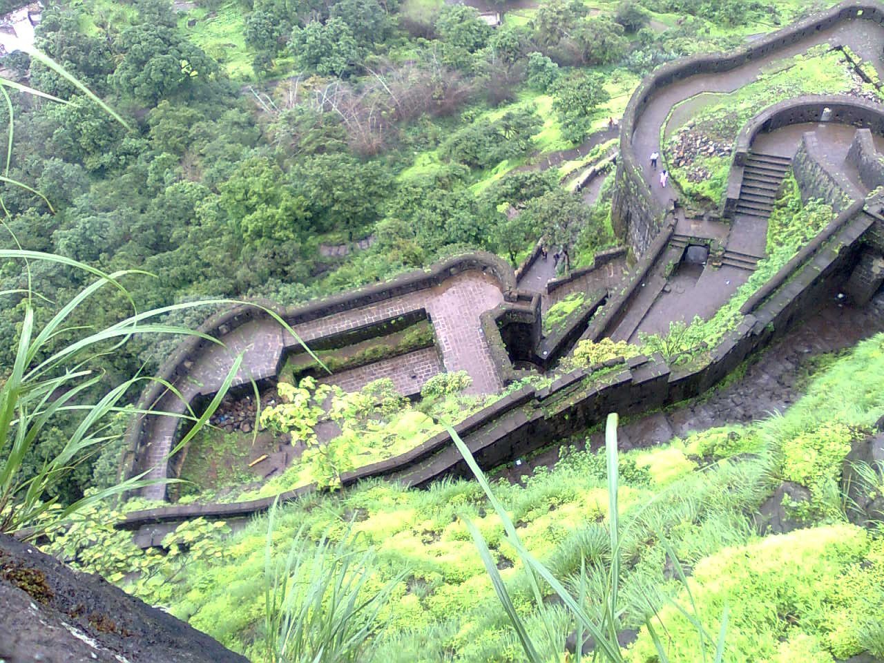
The fort consists of a narrow summit, lower bastions, and fortified outworks arranged across the rocky hill. A bastion is a projecting platform used for observation and defense. Four large gates survive in relatively good condition, and one of them includes two small lion reliefs. A stairway from the village was constructed in the mid-twentieth century. The fortifications make close use of the natural rock, combining the steep hilltop with human-made defensive works.
Vinchukada Spur
Vinchukada extends northwest from the main hill as a fortified spur. Its elongated form gives it the name “Scorpion’s Tail,” and it forms part of the wider defensive landscape of the fort, together with the summit, slopes, and lower fortified positions.
Water Structures
Large Tank
A large tank forms part of Lohagad’s water infrastructure. It belongs to the group of works commissioned during the period when Nana Phadnavis lived at the fort.
Step-Well
The step-well was another water installation associated with Nana Phadnavis. Its stepped design provided access to stored water within the fortified hilltop environment.
Jain Caves and Inscription
Southern Jain Cave
A small rock-cut Jain cave lies on the southern side of the fort facing Lohagadwadi. Its presence reflects the Jain religious connections associated with the hill and its surrounding settlements.
Inscribed Cave
A second cave lies on the eastern cliff near the village, where the Jain inscription is cut into the exterior wall. The inscription is approximately 50 centimetres wide and 40 centimetres long, with six lines. Its opening formula, “Namo Arihantanam,” identifies the religious setting, while the reference to Ida Rakhita links the cave to the donation of cisterns and rock-cut benches. The text was studied by Dr. Shreekant Pradhan and is more descriptive than a related inscription at the Pale caves, which also mentions Ida Rakhita and begins with a similar Jain formula.
Other Surviving Features
Qubba
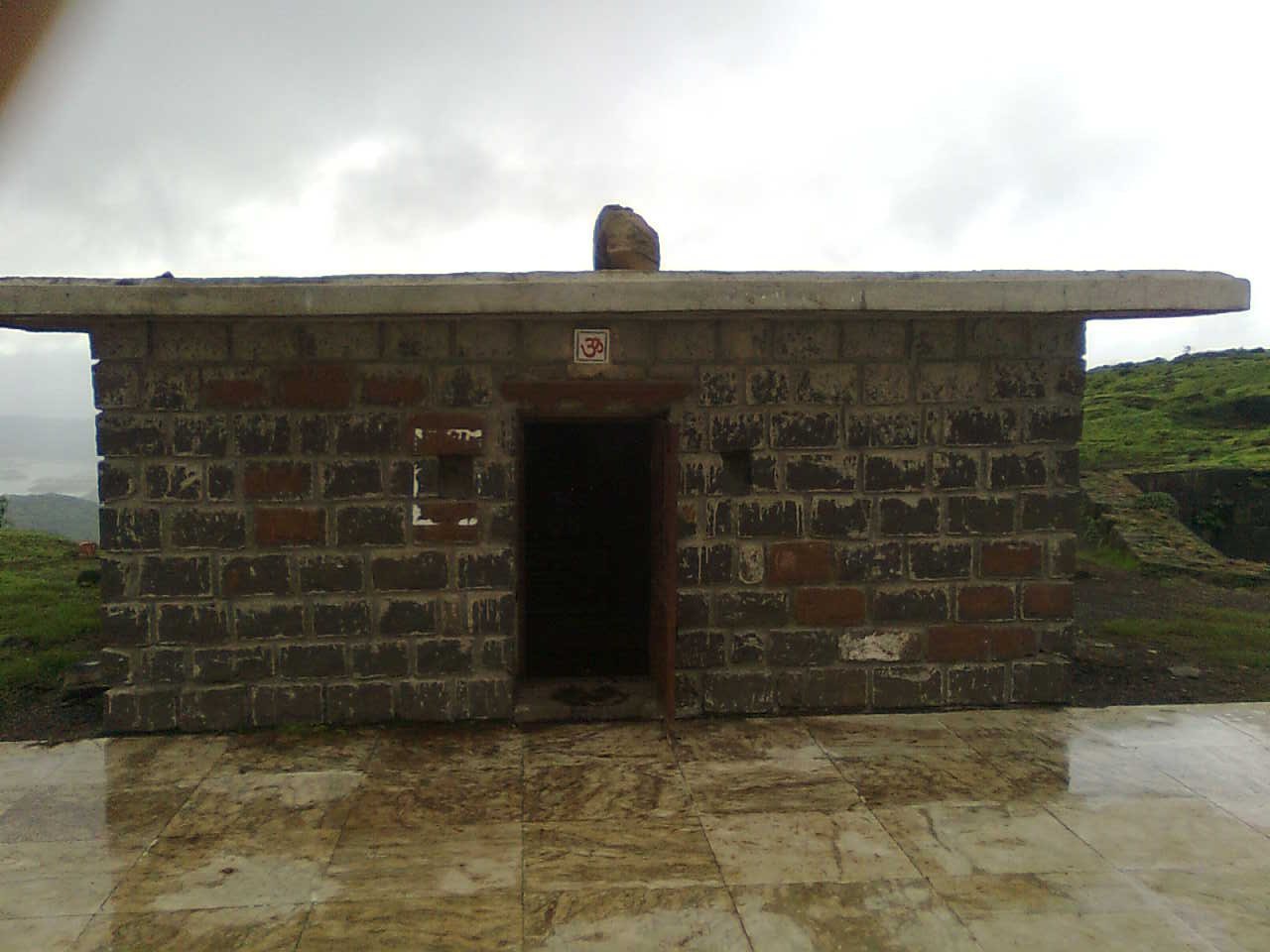
The fort complex includes a small qubba, or domed tomb, belonging to an unidentified person who may have been a fort commander. It forms part of the varied architectural remains preserved within the fortified hilltop.