Konabe Kofun: A Fifth-Century Burial Mound in Nara
Site at a Glance
- Popularity
- High
- Country
- Japan
- Primary era
- Classical
- Eras represented
- Classical
- Civilizations
- Yamato
- Site type
- Burial
- Remains
- Burial Mound
On this page11 sections
History
Konabe Kofun is an ancient Japanese burial mound, or kofun, in Nara City, Japan, constructed in the first half of the fifth century. It forms part of the eastern group of the Saki Tatenami Kofun Group, a cluster containing more than 60 tombs. Konabe is considered somewhat older than a large mound to its east. Their comparable scale and arrangement have prompted the suggestion that the people buried in them were closely connected.
Burial identity and later associations
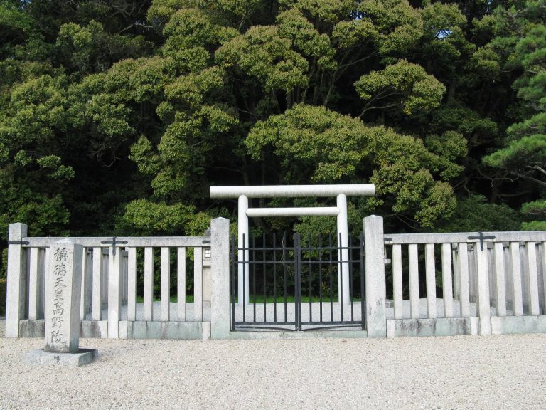
The identity of the person buried at Konabe is uncertain. The Imperial Household Agency, the Japanese government body responsible for imperial-family matters and mausoleums, designates it a Mausoleum Reference Site. This status identifies a possible imperial burial place, rather than confirming who lies there. Empress Iwanohime, remembered as the consort of Emperor Nintoku, traditionally counted as Japan’s sixteenth emperor, is one proposed candidate. During part of the Edo period, the tomb was instead identified as the burial place of Empress Gensho, an eighth-century ruler traditionally counted as Japan’s forty-fourth emperor. Seven of Konabe’s ten associated smaller mounds also have Mausoleum Reference Site status.
Records and archaeological investigations
An antiquarian record from 1696 described exposed stone on the mound and noted cylindrical haniwa, clay forms placed on or around burial mounds. In the early Meiji period, the British engineer and antiquarian William Gowland made a measured drawing that brought the tomb to the attention of audiences beyond Japan.
Investigations followed at several points in the twentieth century. Nara City’s education board excavated the southern side of the front section in 1979 during work on a retaining structure. A 1985 investigation examined ground behind the northern side of the rear mound, and a 1997 excavation studied the outer bank and the ground to its east. In 2008, work on the western outer bank uncovered stone paving in a layer formed when the ground was leveled during the Nara period. Researchers proposed that it might have belonged to Shorin’en, an outer garden of Heijo Palace used for events involving the imperial family and court. That identification remains uncertain, but the find provides evidence that the ancient tomb became part of a garden landscape.
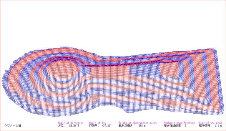
The Imperial Household Agency’s Archives and Mausolea Department excavated part of the mound in late 2009 during work at its base. From December 2009 to February 2010, an aerial laser survey created a detailed three-dimensional record of the mound and its surroundings. The survey gathered roughly one million data points and could capture fine surface detail through vegetation without investigators entering the mound. Its results differed little from those of conventional surveying.
Remains
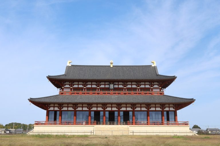
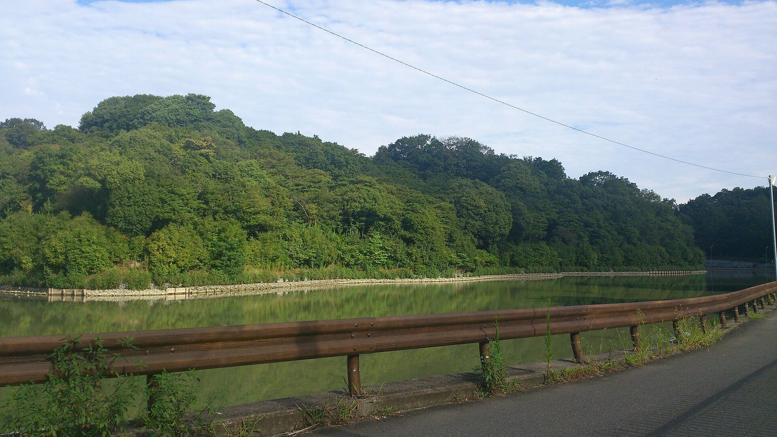
Konabe lies on the southwestern slope of the Saki Hills, about 750 metres northeast of the site of Heijo Palace’s main audience hall. The mound has a keyhole-shaped plan, with a circular rear section joined to a broad front, and is oriented approximately south. Its main earthwork, moat, outer bank and associated smaller burial mounds together form a complex landscape.
Main mound
The mound measures 204 metres in length, placing it among Japan’s largest kofun. Its circular rear section is 125 metres across and 20 metres high; the front is 129 metres wide and rises 17.5 metres. A built-out platform with a trapezoidal outline projects from each of the two narrowed sides. The mound has three tiers and is encircled by a shield-shaped moat. Rows of cylindrical clay haniwa have been confirmed on every tier.
Stone cladding covers parts of the mound. Stones about the size of a person’s head form the upper level, while smaller stones, roughly the size of a clenched fist, were used lower down. Pine trees now cover much of the mound, which also provides habitat for wild birds. The laser survey recorded a path leading to the top of the rear section, thought to be a later addition, a small rise at its summit and a square rise on the western projecting platform.
Outer bank and ditch
Bank, perimeter belt and ditches
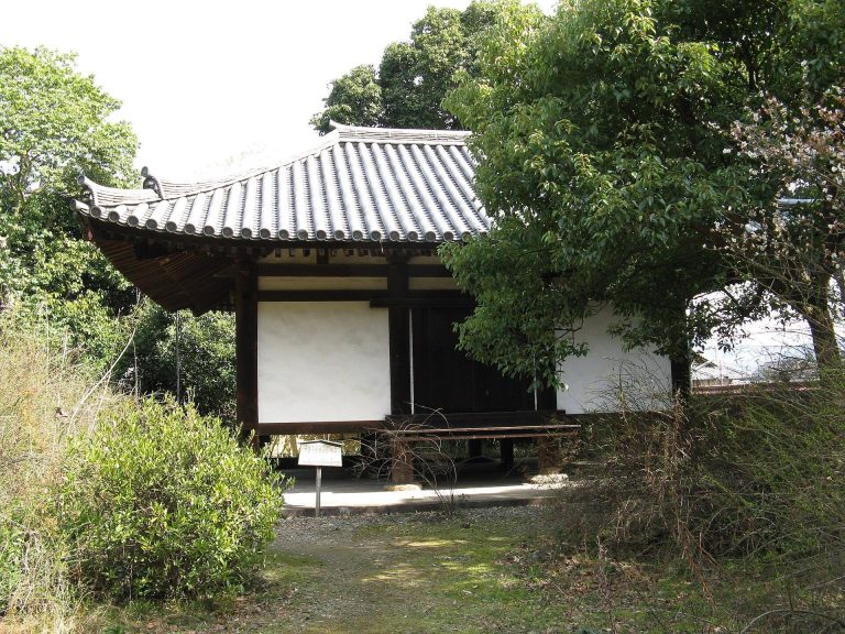
The space between the western subsidiary mounds and the present outer bank forms a belt around the tomb. A second moat has been proposed in this area, while the 1997 excavation identified an outer ditch east of the bank. In 1979, excavators found cylindrical haniwa set in a row along the southern outer bank, about half a metre apart. The clay figures had black patches, raised bands with a trapezoidal cross-section and horizontal scraping marks. Their manufacturing traits have been interpreted as earlier than those of haniwa from Ichiniwa Kofun and Uwanabe Kofun.
Finds from excavations
The 1997 excavation of the outer ditch recovered parts of a short suit of body armor made from triangular plates joined by leather lacing, along with iron arrowheads. During the 2009 work, investigators found 21 cylindrical haniwa, each about 20 centimetres in diameter, on the western projecting platform. Around ten more fragments came from the south and other parts of the mound. They included forms shaped like fences, umbrellas and houses.
Subsidiary mounds
Distribution and form
Ten smaller burial mounds line the moat, extending from the west of the front section around to the northeast of the rear. Mounds 16 and 17 lie to the north; 18 and 20 are to the northeast; and 21 and 22 are to the northwest. Mounds 23 through 26 form a north-to-south row west of the front section. Number 21, at the northwestern side, is circular and 42 metres in diameter. The other nine are square, with sides measuring 11 to 35 metres. Their clearly identifiable arrangement is regarded as characteristic of tombs from the middle part of the Kofun period.
Mound No. 20
Mound 20 has its own moat. Excavations there recovered cylindrical and morning-glory-shaped haniwa, as well as figures shaped like houses, jars and umbrellas. Stone paving in the moat has been interpreted as a garden pond feature.