Košťálov: A Gothic Donjon-Type Castle Ruin in Czechia

Site at a Glance
- Rating
- 4.8
- Popularity
- Low
- Country
- Czechia
- Primary era
- Medieval
- External website
- Open
- Eras represented
- Medieval
- Civilizations
- Holy Roman Empire, Kingdom of Bohemia
- Site type
- Military
- Remains
- Castle
On this page7 sections
History
Košťálov is a fourteenth-century Gothic donjon-type castle ruin in Czechia, located on Košťálov Hill near Třebenice. Its principal rectangular palace combined residential and defensive functions, but the builder and first owners are unknown. The form of the castle suggests that construction may have begun during the first half of the fourteenth century.
First records and uncertain ownership
The first written reference to Košťálov dates from 1372. A contemporary chronicler described a lightning strike that scorched the tips of the shoes worn by the castle burgrave, Aleš the Younger of Slavětín, and his wife. Aleš was associated with Košťálov again in 1378 and 1380. As burgrave, he administered the castle for another lord rather than holding it as his personal property.
The castle’s foundation and early ownership remain uncertain. They have been linked speculatively with the Zajíc family of Hazmburk, the Kaplíř family of Sulevice, and the Slavětín family. The nineteenth-century writer František Alexandr Heber proposed that Košťálov was founded by the crown, although this interpretation is considered unlikely in view of the ownership structure of the surrounding estates.
The Hussite period and the Kaplíř family
During the Hussite Wars, the religious and political conflicts in fifteenth-century Bohemia connected with the reform movement of Jan Hus, a Hussite army reportedly camped below Košťálov in 1422. Jan Kaplíř, a member of the Kaplíř noble family, is recorded in 1423 as the owner of nearby Třebenice and its surrounding villages. He may therefore also have held Košťálov.
Košťálov remained associated with the Kaplíř family until 1609, when Adam of Vchynice acquired it. By that time the castle had long ceased to serve as a residence. Before the middle of the sixteenth century, the Kaplíř family had built a manor house in the village below the hill and moved there, since the castle’s difficult access no longer suited aristocratic residential expectations.
Abandonment and later remembrance
The neglected castle continued to deteriorate and was described as abandoned by 1622. A much earlier foundation date, placing Košťálov in the mid-eighth century, was created by the Bohemian chronicler Václav Hájek of Libočany and published in his chronicle in 1541. This legendary account is not evidence for the castle’s actual foundation.
Košťálov has been protected as a cultural monument since 1964. In 2024, the ruin had several private owners. The town of Třebenice considered purchasing it but abandoned the plan because of the high price. The Hrady Českého středohoří association surveyed the ruin and carried out a surface survey.
The castle also entered the visual culture of the Czech Central Uplands. The Romantic poet and artist Karel Hynek Mácha drew Košťálov in pencil twice around 1833, once with Třebenice and Skalka Castle and once on its own. The modernist painter Emil Filla depicted it several times in the early 1950s as part of his Český středohoří series, made using wash-ink technique.
Remains
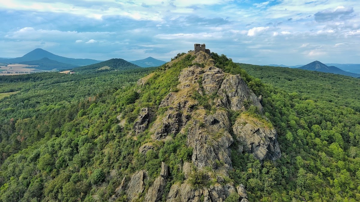
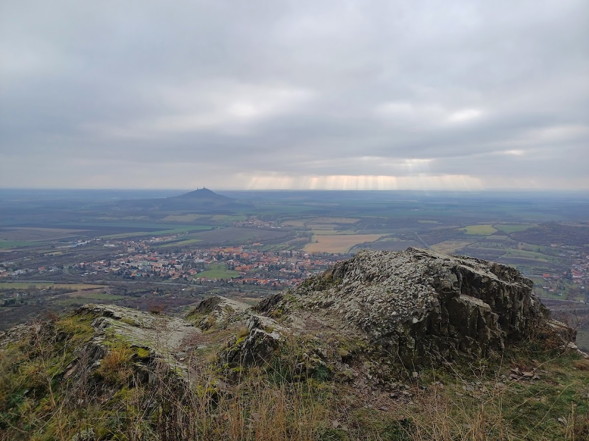
Košťálov stands at an elevation of 494 metres on Košťálov Hill, also called Košťálovo, in the western part of the Czech Central Uplands, approximately two kilometres north of Třebenice. The donjon-type layout was organized around an upper castle containing the main palace and a lower castle with at least two residential buildings and additional utility structures. The lower castle was fortified, while the upper complex was dominated by the rectangular palace.
Upper castle and palace
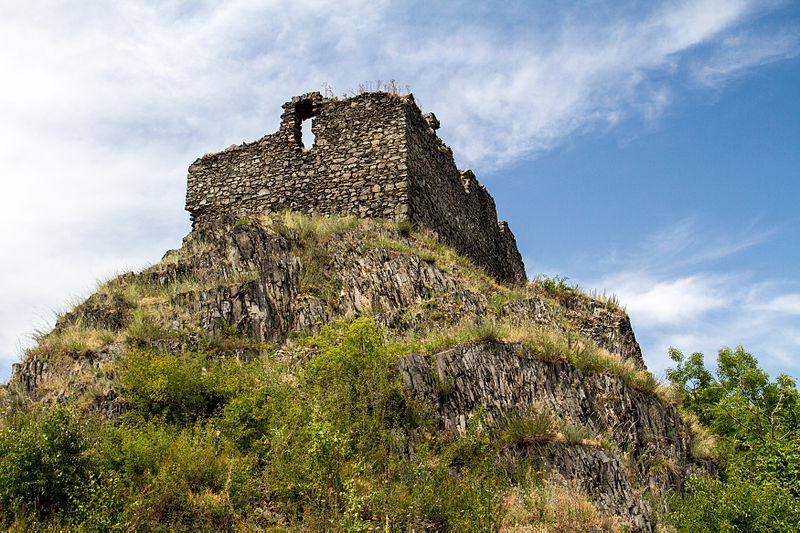
The palace originally rose through three storeys. Its second storey contained a knights’ hall with four windows arranged on opposing sides. Older depictions still showed remains of the highest storey, although the surviving structure has since deteriorated.
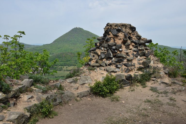
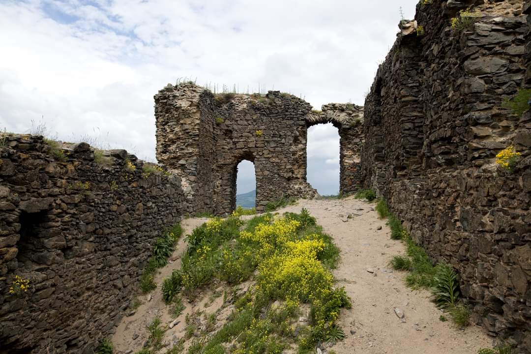
The northeastern corner of the upper-castle wall is the best-preserved part of the ruin, reaching at least 4 to 5 metres in height. Before the First World War, the upper castle was secured with cement mortar. That reinforcement has since failed, and the unsecured masonry of the palace continues to disintegrate. Losses of architectural details were visible from the preceding years in 2024.
Lower castle and archaeological evidence
The lower castle contained residential and utility buildings within its fortifications. Remains of those defenses were still visible in the mid-nineteenth century, while the buildings themselves survive today mainly as difficult-to-recognize terrain traces. In 2024, vegetation covered the bailey and lower castle.
Nineteenth-century archaeological investigations identified a kitchen in the northeastern part of the lower castle. Stove tiles and pottery were found there. Keys, horseshoes, and horse bits from the northwestern part indicated the location of a smithy, adding evidence for the practical activities that supported life within the fortified complex.