Khorakert: A Medieval Armenian Monastery Complex

Site at a Glance
- Rating
- 4.9
- Popularity
- Very Low
- Country
- Armenia
- Primary era
- Medieval
- Eras represented
- Medieval
- Civilizations
- Armenian, Georgian
- Site type
- Religious
- Remains
- Monastery
On this page8 sections
History
Khorakert is a former monastery of the Armenian Apostolic Church in the disputed Armenia–Georgia border region. The 13th-century architectural complex stands in the Jiliza area of Lori and was affiliated with the Gugark Diocese, a regional jurisdiction of the Armenian Apostolic Church. The monastery is no longer active and is now abandoned.
Earlier settlement and medieval foundations
Traces of ancient buildings around the monastery suggest that the site may have been occupied by the city of Khorakert. The medieval Armenian historian Vardan attributed the city’s foundation to Khor, the ancestral figure whom his tradition identified as a son of Hayk, the legendary forefather of the Armenian people. In the ninth century, King Smbat II ordered that Gurgen, the son of Ashot III the Merciful, inherit the city.
Construction at the complex is placed between the 12th and 13th centuries, while the monastery’s foundation is assigned to the 13th century. An inscription on the western façade dates the construction of the monastery and its gawit, an entrance hall attached to an Armenian church, to 1251. Architectural analysis by A. Yakobson identifies the church as principally an 11th-century structure whose upper section was completed in 1251.
Later history and abandonment
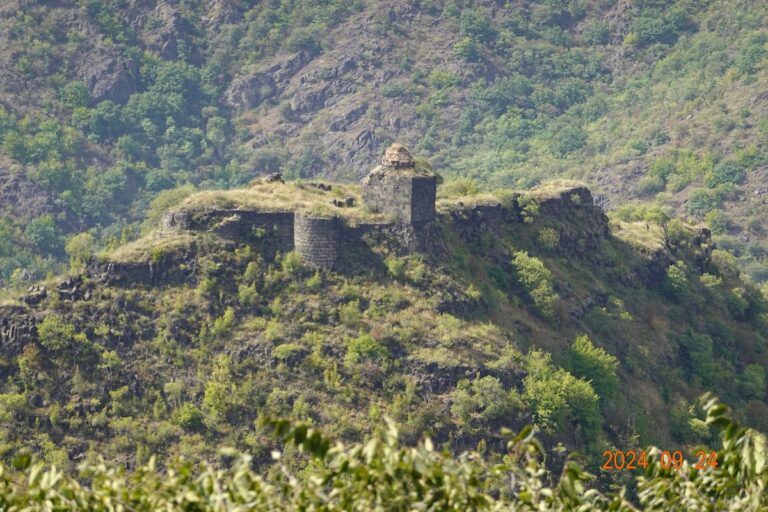
The monastery was renovated in 1661. Its walled enclosure once contained the church, gawit, chapels, refectory, cemetery, and enclosing wall. An earthquake destroyed the gawit in 1965, leaving it partly ruined. Khorakert is now abandoned, with much of the complex in ruins and the grounds overgrown. The site is protected as a cultural monument in Armenia, although its position in the Armenia–Georgia border region is disputed, and the complex lies within an area controlled by Georgian border guards.
Remains
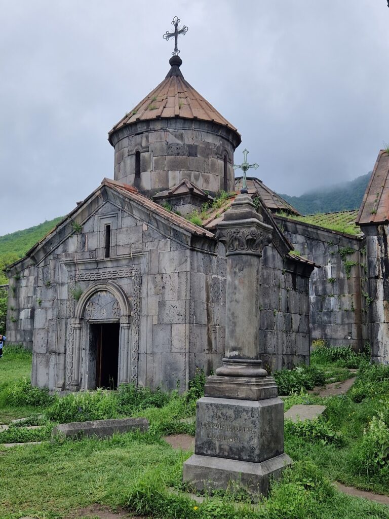
Khorakert stands in dense woodland on the western slope of Mount Lalvar, about three kilometres southwest of Jiliza. The central buildings are the main church and the gawit attached to its western side. Two vaulted chapels, a ruined refectory, a cemetery, an enclosing wall, and several khachkars, carved Armenian memorial stones bearing crosses and ornament, complete the surviving complex.
Central buildings
Main church
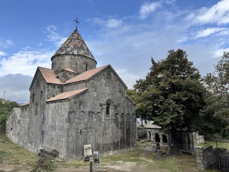
The main church has an external rectangular plan measuring approximately 9.6 by 14.6 metres. Inside, its cross-shaped arrangement extends along an elongated east–west axis and includes four corner side chapels or subsidiary chambers. Entrances open on the west and south, while two Armenian niches occupy the eastern side.
Yellow-red felsite, a fine-grained volcanic building stone, forms the church. Its façades are generally plain, with simply treated door frames, attached ornamental columns, and triangular eastern niches decorated with shell forms. Remnants of plaster or stucco survive in parts of the interior. The church is distinguished by a dome regarded as a unique example of its type in Armenian architecture.
The dome rises on a polygonal drum, the raised structure supporting a dome. The lower half of the drum consists of 30 closely spaced six-sided columns, each about two metres high. Their bases and capitals meet, leaving narrow openings for light and giving the structure a visually floating appearance in sunlight. Six intersecting arches, arranged as three crossing pairs that form a six-pointed star, support the dome’s framework. At the centre, a smaller dome is shaped with stalactite-like elements. Trefoil and quatrefoil ornaments appear above and below the columns, and much of the dome’s interior remains in its original form.
Gawit
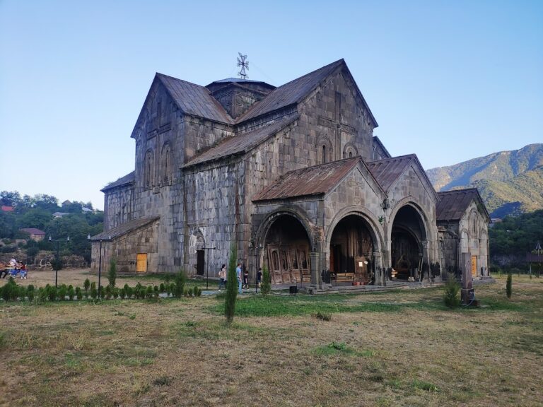
The gawit measures approximately 13.1 by 13.1 metres. It belongs to a form roofed by two pairs of intersecting arches, whose crossing provides the building’s structural and compositional framework. The central square carried an octagonal pyramidal roof, with four triangular suspended facets creating the transition between the square below and the octagon above. The building was partly ruined by the 1965 earthquake.
Chapels, refectory, and memorial stones
The remains of the refectory and two small chapels occupy the northwestern part of the complex, together with gravestones. South of the chapels, near the outer wall and concealed behind trees, a passage leads toward a gorge. The grounds contain carved khachkars, including a significant 13th-century memorial stone near the northern wall, while the cemetery includes elaborately carved gravestones.