Khachla-Kayasy Castle: A Medieval Fortress on Crimea’s South Coast
Site at a Glance
- Popularity
- Very Low
- Country
- Ukraine
- Primary era
- Medieval
- Eras represented
- Medieval
- Civilizations
- Unclassified
- Site type
- Military
- Remains
- Castle
On this page11 sections
History
Foundation and regional setting
Khachla-Kayasy Castle is a medieval fortress on Crimea’s South Coast in Ukraine. Established in the 13th century and dated to the 13th and 14th centuries, it arose amid major political and military changes in the region. Mongol-Tatar incursions, Mongol-led invasions and expansion into Crimea that began in 1223, were one part of this context. The period also saw the growth of Turkic Seljuk powers and mountainous Crimea enter the sphere of influence of the Empire of Trebizond, a Greek-ruled successor state to the Byzantine Empire centered on the southern Black Sea coast.
The fortress may have controlled a medieval route from the Oreanda area toward passes across the Main Range, the principal ridge of the Crimean Mountains. This interpretation rests on the remains of an old road along that route. The site is also called Alim’s Rock, a distorted form of the Crimean Tatar Haçlı Qayası, meaning “Cross-shaped Rock.”
Destruction
Finds dating to the 14th century indicate that the castle was destroyed during the Genoese conquest of Crimea’s South Coast, probably in the second half of that century. The Genoese were a maritime power whose commercial and political expansion extended into the Black Sea region.
Remains
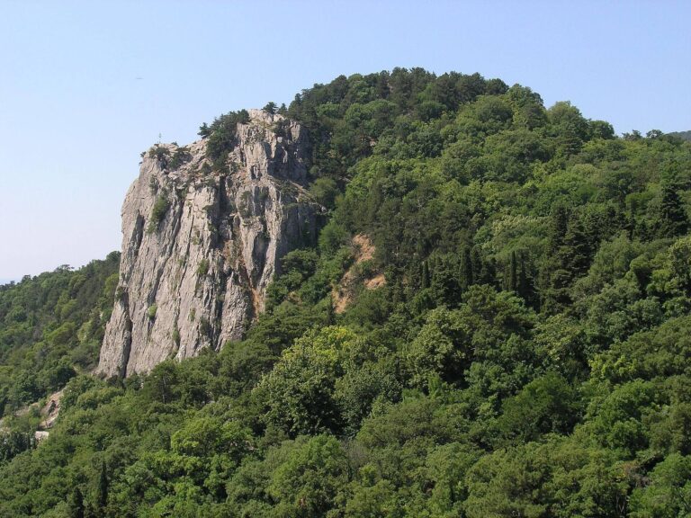
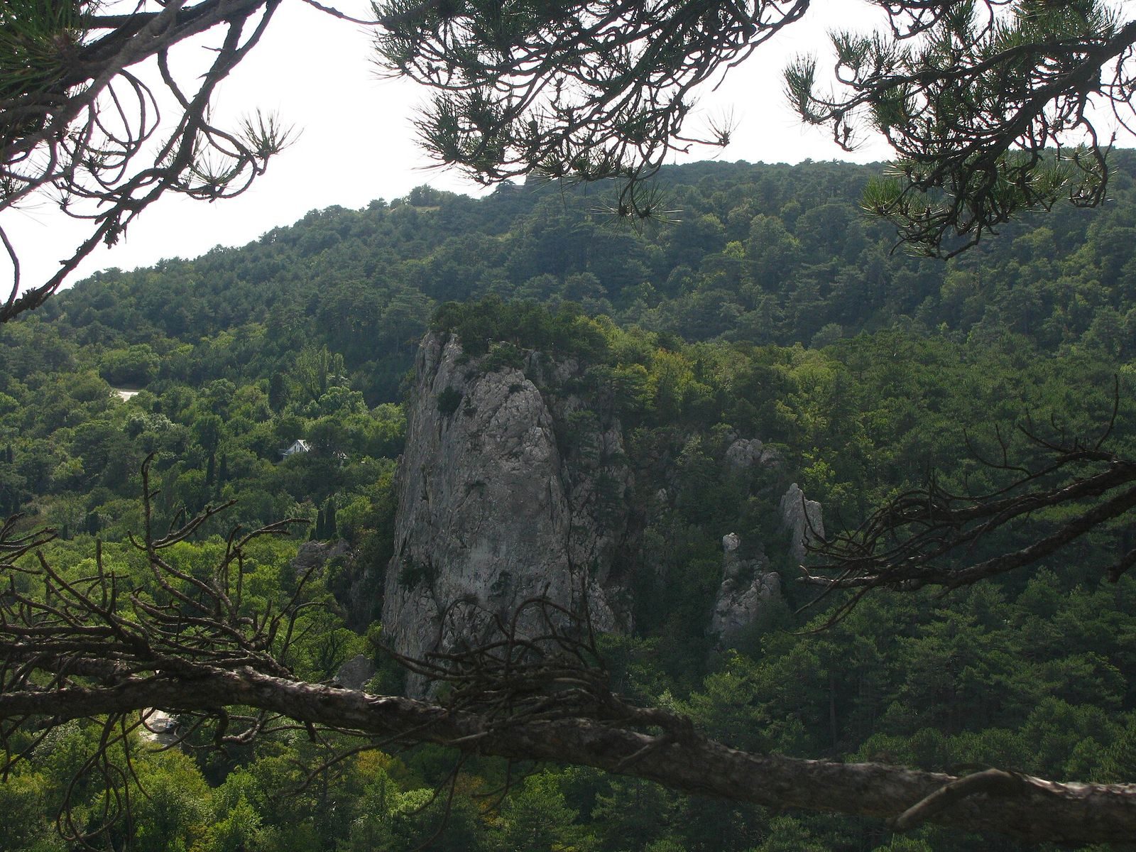
The ruins occupy a rocky spur about 150 metres long and 60 to 70 metres wide, roughly 2.5 kilometres west of Upper Oreanda and near the highway between Oreanda and Gaspra. Juniper, pine, and oak grow across the spur. Cliffs border it on the east, south, and west, while the northern slope is more accessible. The surviving fortifications block this northern approach and extend along the cliff edges.
Fortifications
Northern wall
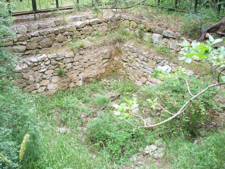
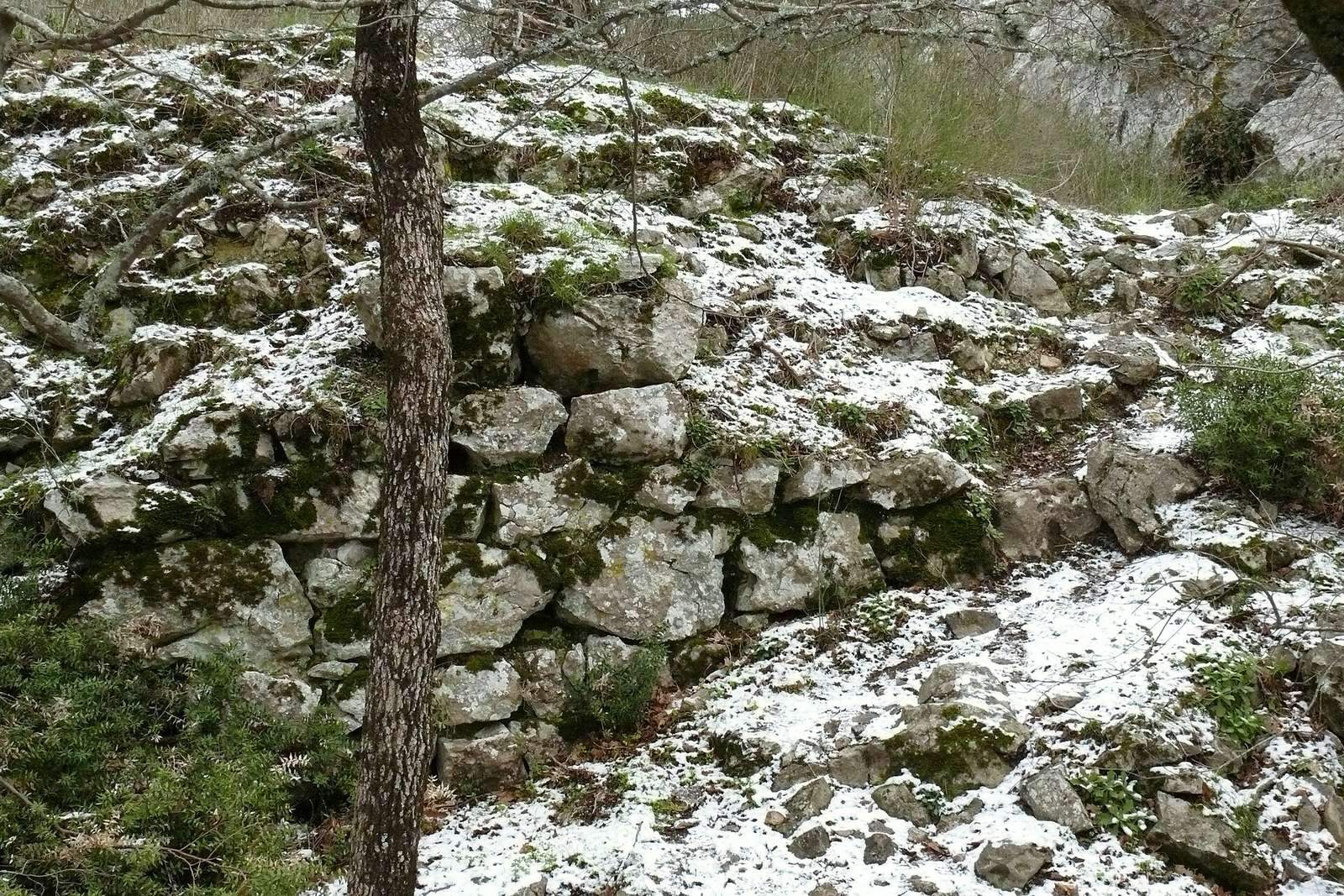
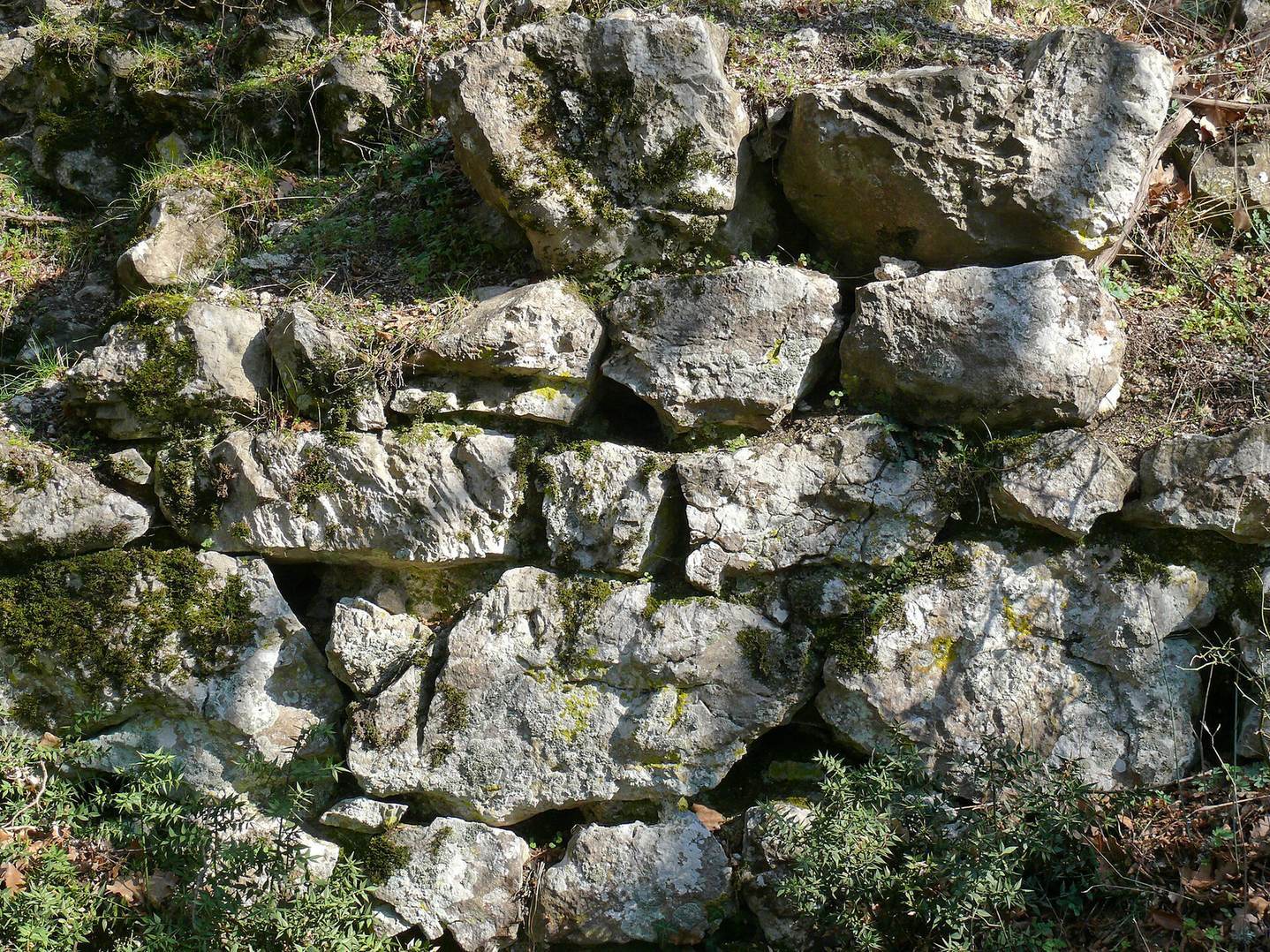
The defensive wall across the northern slope dates to the 12th through 14th centuries. It is about 23 metres long and 2 metres thick, and survives to a height of 1.5 to 1.8 metres. Its profile is trapezoidal. Builders used shaped rubble set in lime mortar, with stones carefully fitted across the outer face.
Tower and entrance
A principal defensive tower stood at the northern end of the wall, joined to it and faced with similar masonry. Measuring 6 by 7.5 metres, it was unusually large for a small fortified site in the Crimean mountains. Excavation uncovered a substantial layer of crushed, burnt roof tiles. The tower may have had two storeys and a tiled roof, and may have been destroyed by fire.
The tower also guarded a narrow entrance, about 1.5 metres wide, with an arched ceiling. A rock stairway, or alternatively a ramp, led to the entrance through a narrow passage with steep sides.
Cliff defenses
A less substantial wall wing stood at the southern edge of the cliff and measured approximately 12 to 13 metres in length. Protective parapets ran along the cliff edges. Together, the fortified lines extended about 75 metres.
Structures within the fortress
Dwellings
Traces of about 30 small dwellings lie within the fortifications. Each measured approximately 4 by 6 metres, and their positions follow platforms cut into the rock.
Church
In the fortress’s northern part, on the rocky summit beside the edge of a small square, are the remains of a Christian church dating to the 13th and 14th centuries. The building measured 4.2 by 7 metres and belongs to a type also found at other sites on the South Coast.