Kellis: A Hellenistic, Roman, and Byzantine Village in Egypt
Site at a Glance
- Rating
- 5
- Popularity
- Very Low
- Country
- Egypt
- Primary era
- Classical
- Eras represented
- Classical
- Civilizations
- Byzantine, Ptolemaic, Roman
- Site type
- City
On this page7 sections
History
Kellis, also known as Ismant el-Kharab, was a village in Egypt’s Dakhleh Oasis occupied from the late Ptolemaic period through the Hellenistic, Roman, and Byzantine periods. It belonged to the Mothite nome, an ancient Egyptian administrative district whose capital was Mothis, now called Mut. The settlement was abandoned sometime after AD 392 and thereafter remained unoccupied apart from temporary Bedouin encampments during the 1940s.
Names and administration
The name Kellis is traditionally linked to an ancient Coptic word meaning “granary” or “storehouse.” This may reflect a Roman-period role in grain storage. Nearby inhabitants later called the ruins Ismant el-Kharab, meaning “ruined Ismant,” after the settlement’s ruined buildings.
Kellis supported small-scale textile production, pottery manufacture, and blacksmithing. By the fourth century, most of its population was Christian, while a substantial Manichaean community also lived there. Manichaeism was a religion founded by Mani that taught a dualistic view of the universe and spread across parts of the Roman and Persian worlds. Thousands of writing fragments, many associated with Manichaeism, show that Manichaeans and Christians lived alongside one another at Kellis.
Exploration and archaeological research
European exploration of the Dakhleh Oasis began in 1819, when Sir Archibald Edmonstone and Bernardino Drovetti were among the first European visitors to reach the oasis. Bernhard Moritz investigated Ismant el-Kharab in 1900, Herbert Winlock photographed the site in 1908, and an Egyptian antiquities official inspected it in 1917.
In 1900, Moritz and local workers cleared sand from the central chamber of a large southern mausoleum. They exposed images on a well-preserved, stone-faced wall, which were described on the recommendation of Friedrich von Bissing and photographed by Winlock in 1908. The images had been damaged by 1917, and the mausoleum’s stones were removed by 1920. The vaults and domes recorded by Winlock were also lost at that time.
Postwar research in the oasis included surveys and excavations by the Egyptian archaeologist Ahmed Fakhry. The French Institute of Oriental Archaeology began work in the Dakhleh Oasis in 1978, the same year that the Dakhleh Oasis Project began excavations at Kellis. Archaeological research at the settlement began in 1986. Since 1991, excavations have been funded by the Australian Research Council and administered by Monash University.
Remains
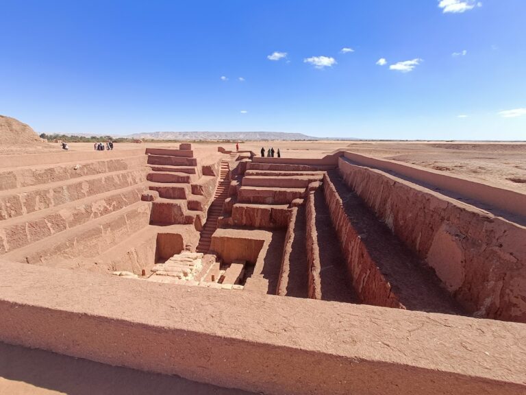
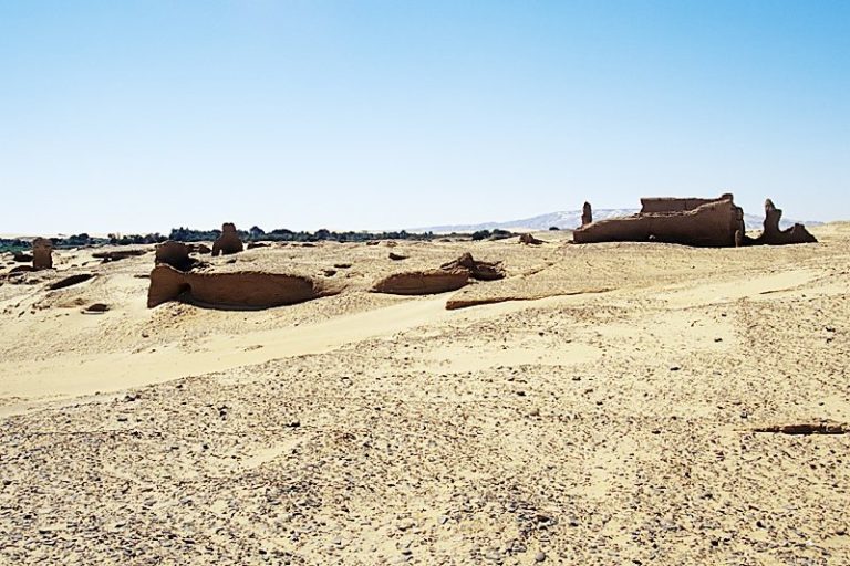
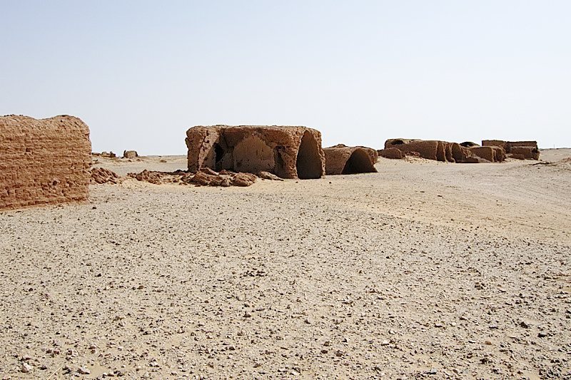
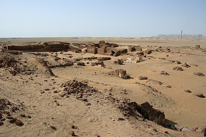
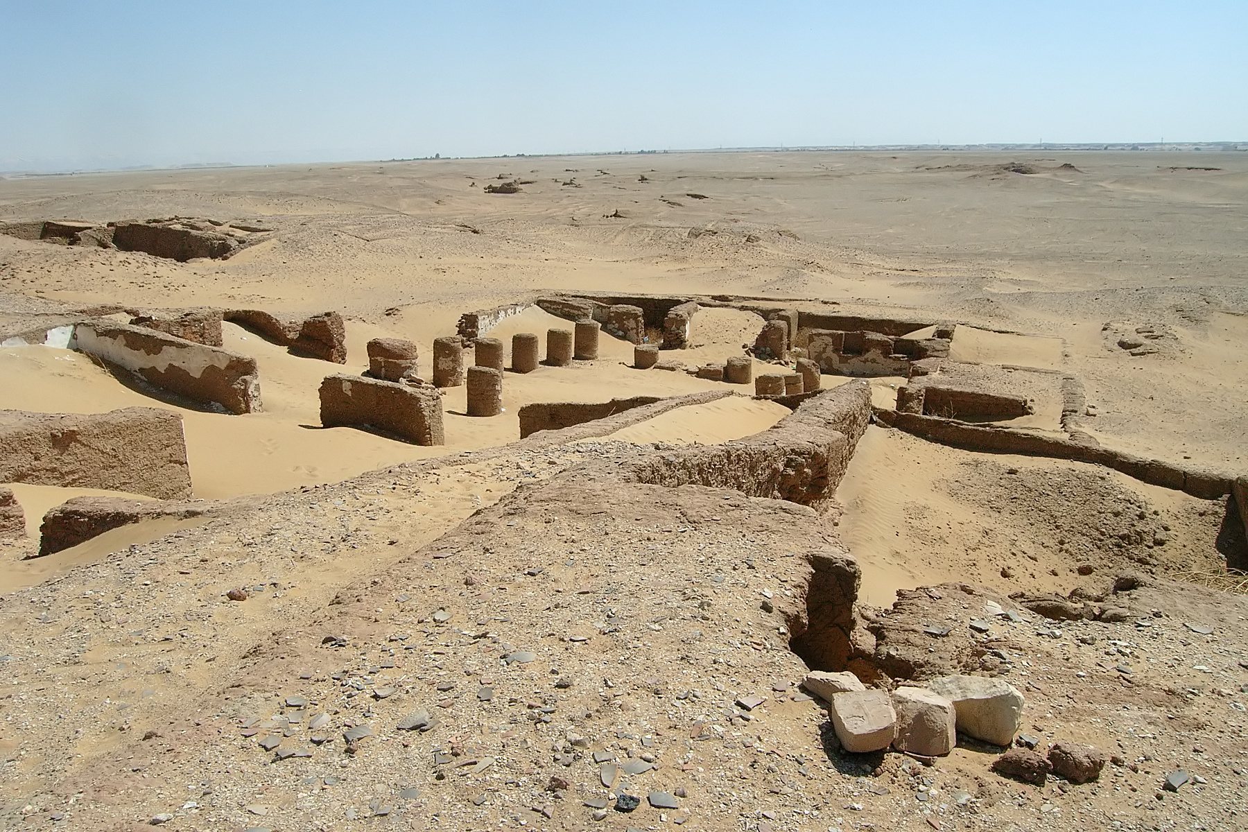
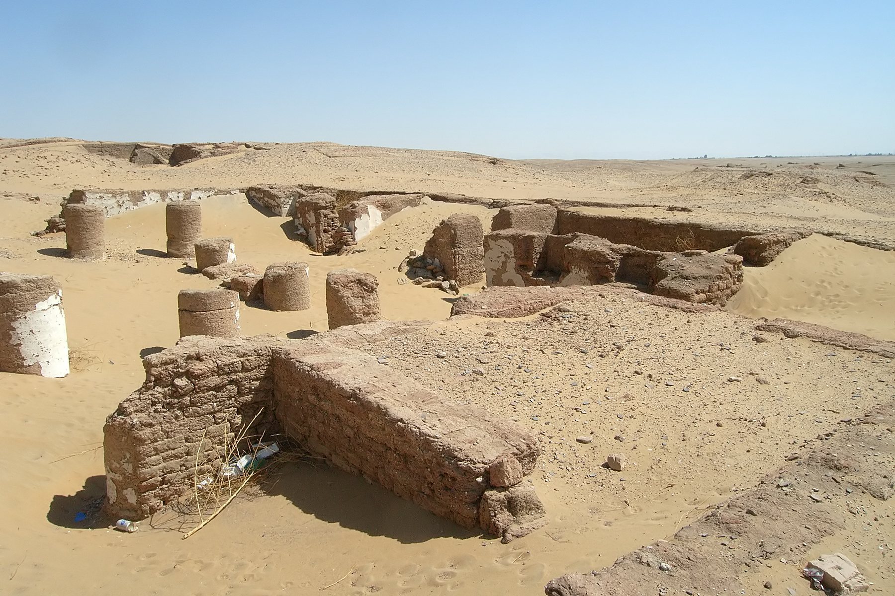
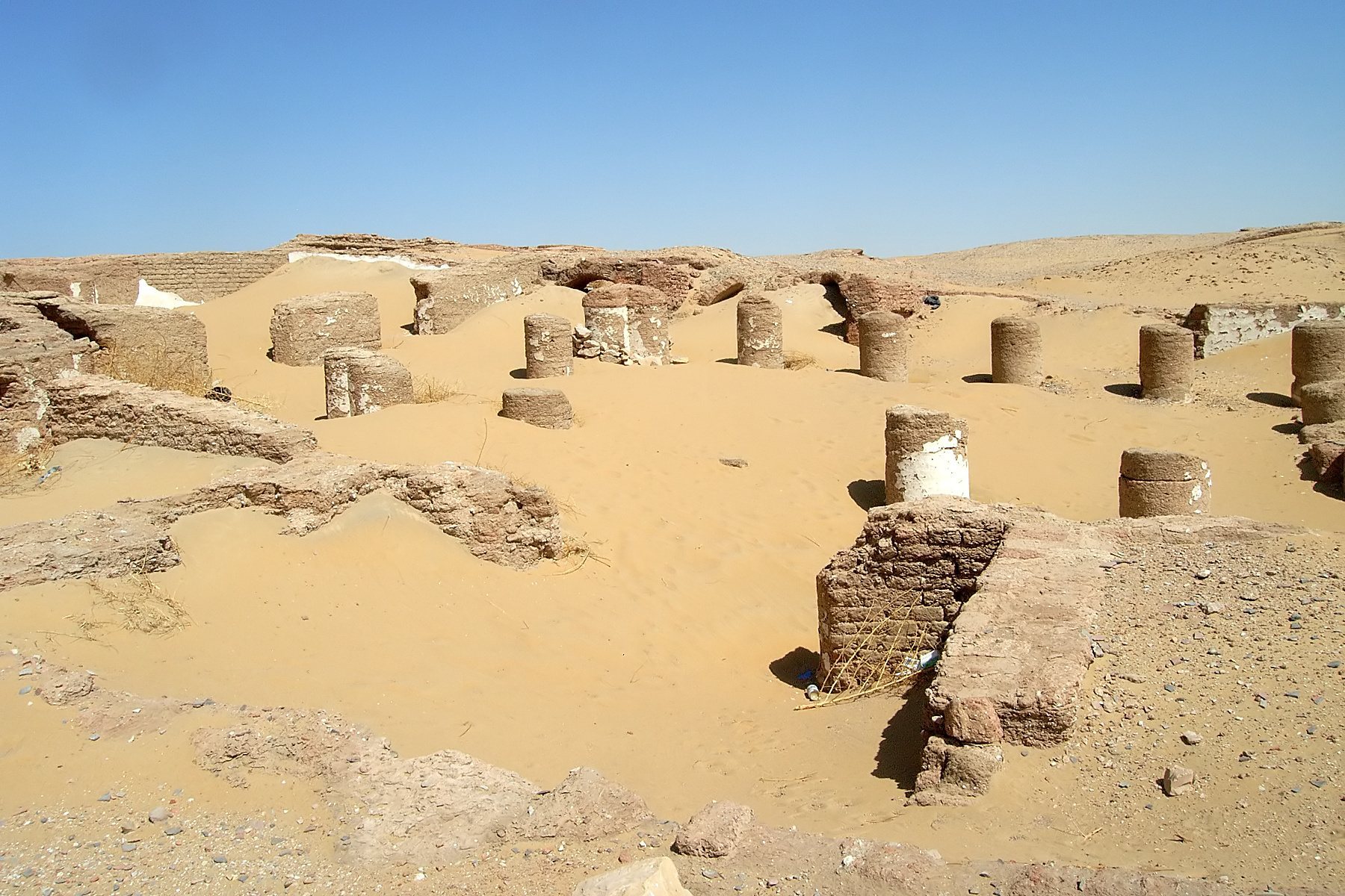
Kellis occupied a low terrace approximately 1,050 metres long and 650 metres wide. Wadis, or usually dry valleys and watercourses, lay to the southeast and northwest, while cultivated fields surrounded the settlement. Buildings were constructed almost entirely from mud brick, an unfired earth brick dried in the sun. Sand covers many structures, with some visible only at their upper levels.
Settlement and religious buildings
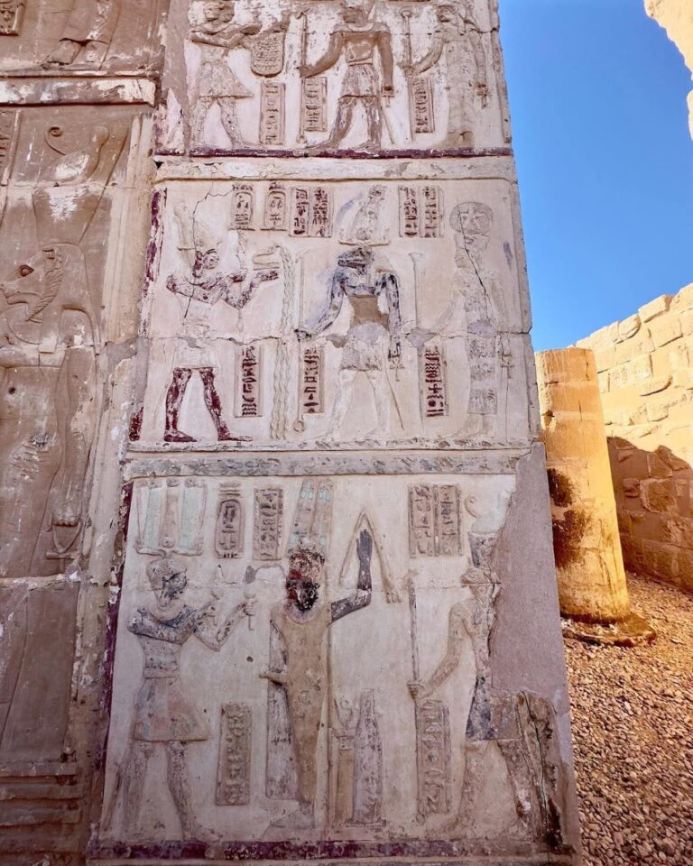
The remains include temple complexes, baths, residential areas, industrial spaces, monumental burials, and several cemeteries. A temple was dedicated to Tutu, an Egyptian deity worshipped in the Dakhleh Oasis, showing that traditional Egyptian religious practice continued at Kellis. The settlement also contained three churches. Two are dated to the fourth century, with one in the eastern part of Kellis and another in the west. The Small East Church was a small building described as possibly the oldest known church building in Egypt.
Objects and written remains
Excavations have recovered wooden books, glass vessels, tools, and other domestic objects. Thousands of inscribed fragments provide evidence for the religious communities and daily activities of the settlement, including the presence of Manichaeans alongside Christians.
Cemeteries and mausoleum
Several extensive cemeteries adjoined the settlement. Burials included mummies covered with masks and other funerary elements made from cartonnage, a layered material of linen or papyrus strengthened with adhesive and plaster.
The southern mausoleum had a central chamber and a stone-faced wall approximately 2.7 metres high. Images appeared on the wall when sand was cleared from the chamber in 1900. The mausoleum also had documented vaults and domes, while its wall images were later damaged and its stones had disappeared by 1920.