Irgenhausen Castrum: A Late Roman Road Fort in Switzerland


Site at a Glance
- Rating
- 4.5
- Popularity
- Low
- Country
- Switzerland
- Primary era
- Classical
- External website
- Open
- Eras represented
- Classical
- Civilizations
- Roman
- Site type
- Military
- Remains
- Fort
On this page14 sections
History
Irgenhausen Castrum is a late Roman road fort in Pfäffikon, Switzerland, built by the Roman Empire on a rearward line of the Danube–Iller–Rhine frontier. It controlled the route from the Alpine passes and Kempraten toward Vitudurum, present-day Winterthur, and the Rhine, while also supporting transport, supply, communication, and surveillance.
The Earlier Rural Estate
Before the fort was constructed, the hill carried a villa rustica, a Roman agricultural estate with a substantial residence for its owner and family. The estate supplied the Roman settlements of Turicum, Vitudurum, and Kempraten with agricultural products. Its land probably extended across the plateau and down the hill. Use of the estate probably ended no later than the late third century, although its exact abandonment date is unknown.
Construction and Military Role
The date when the fort was built remains uncertain. One possibility places construction around AD 294–295, during the reign of Diocletian, the emperor who reorganized Roman administration and frontier defenses. A more probable interpretation connects it with the fortification program of Valentinian I, who ruled from AD 364 to 375 and strengthened the empire’s northern frontiers. A coin dated to AD 370 proves activity at the site but does not establish when building began.
Irgenhausen formed part of the defensive system behind the principal frontier along the Danube, Iller, and Rhine. Its position allowed Roman authorities to watch traffic, protect transport and supply lines, transmit messages, store supplies temporarily, and block the road during hostile incursions. A small detachment of Limitanei, the frontier troops assigned to operate border installations, probably occupied the fort. The installation was too small to house even a full numerus, a minor Roman military unit, and could not have resisted a prolonged siege. The exact identity of its military unit is unknown.
Evacuation and Later Traditions
The garrison left around AD 400 or in the early fifth century. A repeatedly observed layer of burning indicates that the fort ended in a fire. This may have occurred during an Alamannic incursion, involving a confederation of Germanic groups active along Rome’s northern frontier, or when Roman forces deliberately burned the installation after the empire abandoned the province around AD 401. No later use of the fort is securely established.
The ruins remained visible for many centuries. A nineteenth-century tradition claimed that the fort was destroyed only in 1144, but that date is not established history. The site was also linked in later interpretation with an early medieval church traditionally identified as the Benignus Church of Pfäffikon. The building now understood as a bath belongs to a different interpretation. The ancient name of the fort is unknown. Place-names recorded in AD 811, including Irincheshusa and Faffinchova, have been associated with the area, while Camputuna or Cambodunum has been tentatively connected either with the fort or with nearby Kempten.
Rediscovery and Preservation
Early discoveries of the walls were mistakenly understood as the remains of a medieval castle. Ferdinand Keller recorded the fort’s ground plan in 1838. Local landowners investigated the site in 1856, followed by a survey by Keller and members of the Zurich Society for Patriotic Antiquities in 1857. The northeastern corner tower was excavated in 1889, and further investigations took place in 1892 and 1897.
In 1897, part of the northern wall was dismantled for reuse in a factory. The Antiquarian Society of Zurich purchased the site in 1898, preventing further removal of its stones. Excavations directed by Otto Schulthess continued from 1898 to 1908, followed by conservation and partial reconstruction using original building material. Early archaeological methods could not reliably identify wooden buildings, leaving aspects of the interior uncertain. Aerial archaeological prospecting by Walter Mittelholzer in 1920 led to the discovery and excavation of additional Roman estates in the surrounding area.
The fort received federal protection in 1909. Since 1957, the municipality of Pfäffikon has owned and maintained the ruins. Restoration in 2025 concentrated on the southeastern and southwestern walls and the south tower. It conserved surviving masonry and marked reconstructed sections so that they could be distinguished from Roman fabric. Irgenhausen is regarded as one of the best-preserved late Roman forts in northeastern Switzerland and among the best-preserved Roman forts in Switzerland.
Remains
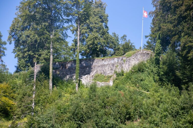
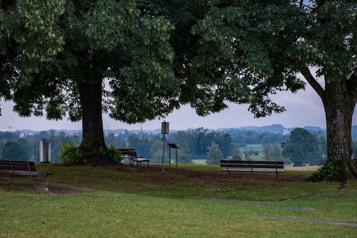
The fort occupies Bürglen, a glacial drumlin, or streamlined hill formed beneath glacial ice, about 400 metres from the eastern shore of Pfäffikersee and beside the former Roman road between Kempraten and Vitudurum. The hill rises roughly ten metres above the surrounding terrain and about 25 metres above the lake. The site lies at about 562 metres above sea level, while the summit reaches approximately 566 metres. The ground falls steeply toward the southwest and slopes more gradually toward the plain on its other sides.
Enclosure and Defences
Walls and Towers
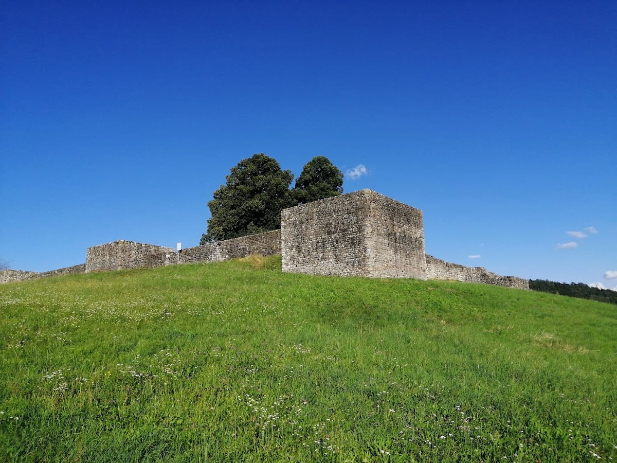
The enclosure is nearly square, although its northern and western corners are slightly distorted to follow the uneven hilltop. It measures about 60 by 61 metres and covers approximately 0.36 hectares. The enclosing wall is around 1.90 metres thick and was built from unworked fieldstones with occasional brick fragments. Its masonry uses opus spicatum, or herringbone work, in which stones are arranged diagonally in alternating directions. Rubble laid in courses forms the core, bonded with white to slightly reddish sand-and-lime mortar.
Materials came partly from glacial deposits. They include Verrucano from the Glarus region, limestone from the Helvetic nappes, and conglomerate. Differences in masonry quality indicate that several teams with varying technical skills worked on the fort. Four square corner towers measure about 8 by 8 metres. A gate tower occupies the southeastern side, while smaller central towers, each about 6 by 6 metres, reinforce the northern, western, and southern fronts. The tower walls are approximately 1.40 to 1.50 metres thick on the outside and 1.10 to 1.15 metres inside. Larger squared blocks of tuff, a relatively soft rock formed from compacted volcanic ash, strengthen their corners.
Entrances and Wall Openings
The principal entrance lies in the eastern front at the southeastern gate tower. Three additional side entrances, about 1.5 to 1.6 metres wide, pierce the enclosure. They are positioned south of the western central tower, east of the northern corner tower, and east of the southern central tower. The entrance of the western corner tower is the best preserved. Each tower had an internal entrance with a concreted threshold, generally between 1.10 and 1.40 metres wide.
Each side of the enclosure contains two small wall openings, measuring about 0.40 by 0.25 metres, placed between the corner and central towers. They narrow from the inside outward and may have drained rainwater or supplied ventilation or light to buildings within the fort. Six circular openings, each about seven centimetres across, occur in the western wall and probably served as drainage outlets.
Interior Buildings
Fort Bath
Stone remains of a three-room building include two rounded ends. Its narrow passages and three-part arrangement are now interpreted as a small fort bath. The rooms may have comprised a frigidarium, or cold room, a tepidarium, or warm room, and a caldarium, or hot room. The passages may have allowed fires to be fed into the heating system. The rounded ends are apses, semicircular ends of rooms or buildings. Earlier interpretations identified the structure as an early medieval church.
Headquarters and Wooden Buildings
A second three-room building has been interpreted as the principia, the headquarters of the fort. Other functional structures were probably made of wood and cannot be securely identified. They may have included soldiers’ barracks, a horreum or grain storehouse, and a praetorium, the commander’s residence. A semi-subterranean room was also found in the middle of the hill.
Earlier Estate Heating System
Beneath the southern corner tower lies a hypocaust, an underfloor heating system in which hot air circulated beneath a floor. It belonged to the earlier villa rustica. Excavation exposed the installation, which was reburied in 1907 for protection. Other walls visible inside the fort may also belong to the agricultural estate, while rooms with rounded ends may instead date from the fort’s period.
Finds and Surviving Masonry
Most objects recovered from inside the fort belong to the second and third centuries and relate to the earlier estate. Excavations and cultivation produced Roman coins, tile fragments, antler remains, ash, and possible remains of a tile-reinforced floor. A bronze-alloy onion-knob brooch found on the final day of excavation dates to the second half of the fourth century. It fastened a soldier’s cloak and indicates the presence of a small Roman military detachment. Unlike comparable silver or gold brooches awarded by emperors to senior commanders, this example probably belonged to a junior officer or soldier. Whether it was an imperial award is unknown.
The fort’s surviving masonry has been conserved and partly reconstructed. During the 2025 restoration, embedded brick fragments marked reconstructed sections, while a red strip in the masonry distinguished Roman walling from restored walling.