Hopewell Culture National Historical Park: Earthworks and Mounds in Ohio
Site at a Glance
- Popularity
- High
- Country
- United States
- Primary era
- Classical
- Eras represented
- Classical, Medieval
- Civilizations
- Hopewell
- Site type
- Religious
- Remains
- Sanctuary
On this page13 sections
History
Hopewell Culture National Historical Park, in Chillicothe, Ohio, United States, preserves earthworks associated with the Hopewell culture. This broad network of shared beliefs and practices among Indigenous peoples flourished from about 200 BC to AD 500, with the Ohio River Valley as a central region. The park’s archaeological resources provide evidence of Hopewell social, ceremonial, political, and economic life.
Culture, name, and early investigations
European Americans mapped the site in the 1840s. Ephraim George Squier and Edwin Hamilton Davis carried out its first excavations and gathered a large collection of artifacts from Mound City, now held by the British Museum. In 1891, the Hopewell Mound Group was excavated on land associated with Mordecai Hopewell. The Hopewell culture takes its name from this landowner.
Military occupation and federal protection
During World War I, the United States Army built Camp Sherman, a military training base, on the site. Construction destroyed much of the archaeological landscape. The Army removed the camp after the war, and the Ohio Historical Society excavated the site from 1920 to 1922 before reconstructing the mounds.
In 1923, the U.S. Department of the Interior designated Mound City Group a National Monument under federal administration. In 1992, the monument was expanded to include other mound and earthwork systems and renamed Hopewell Culture National Historical Park. The National Park Service, part of the Department of the Interior, administers the park.
Expansion and world heritage recognition
The park joined the United States’ tentative list of World Heritage nominations in 2008 as part of the Hopewell Ceremonial Earthworks. In 2023, the broader property, which includes the park and other Hopewell sites, became a UNESCO World Heritage Site. It was inscribed under criteria recognizing works considered masterpieces of human creative achievement and exceptional testimony to a cultural tradition or civilization. The listed property covers 320.7 hectares, with a 561.8-hectare buffer zone.
Remains
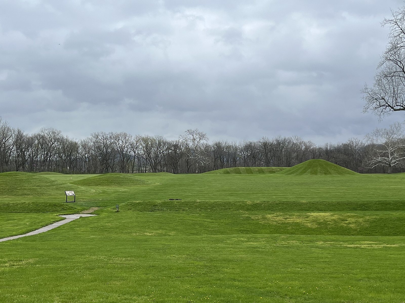
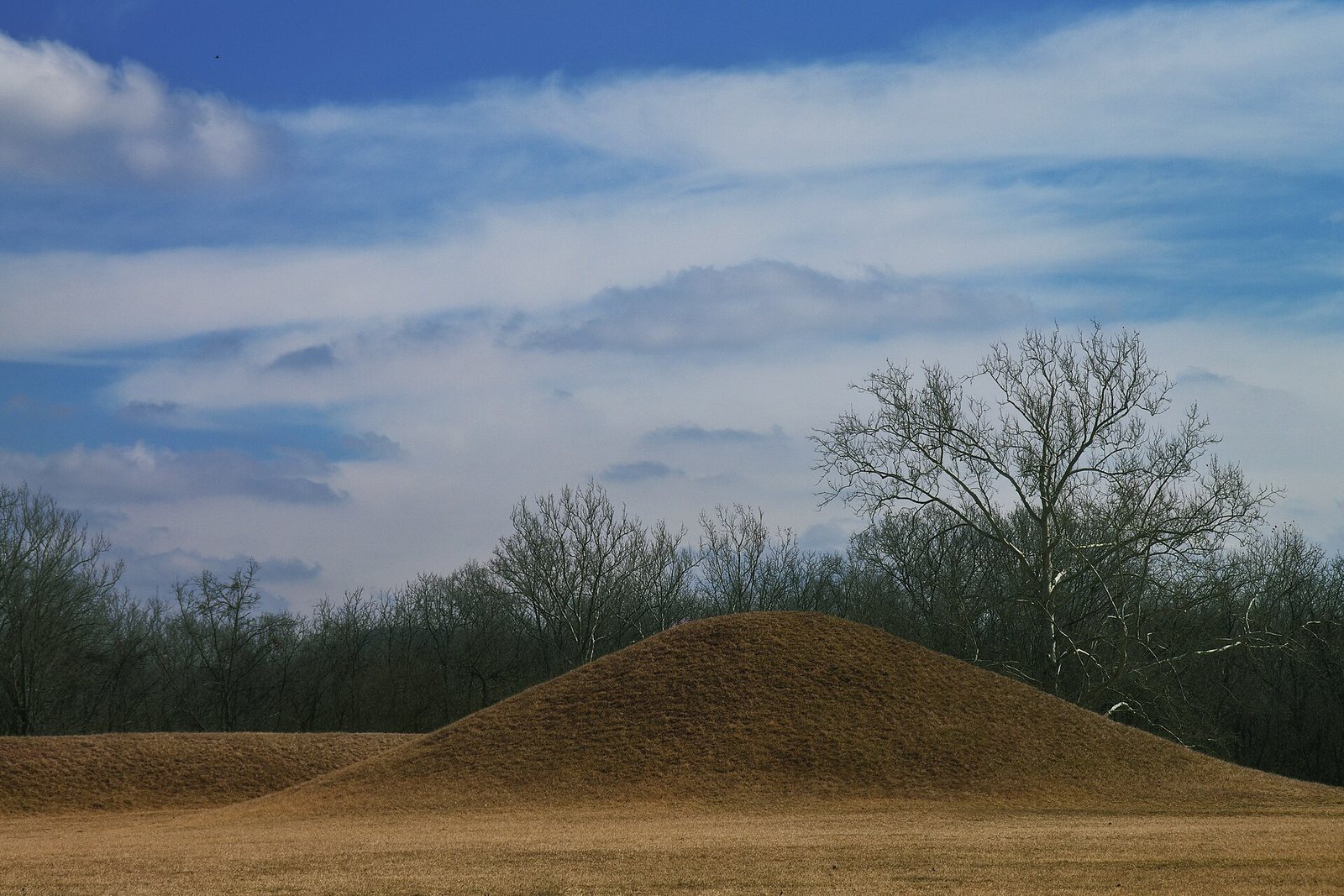
Across its 1,170 acres in Ross County, the park preserves geometric earthen enclosures and mounds of varied shapes. Some walls rise to 3.7 metres, and some enclosures extend more than 300 metres across. Conical and loaf-shaped mounds can reach about 9 metres in height. Builders combined local soils for stability and moved earth in handwoven baskets through organized manual labor.
Mound complexes
Mound City Group
Mound City Group is enclosed by a roughly square earthen wall about 1.2 metres high. Within it are 23 mounds, mostly conical or spherical, along with a larger elliptical mound and two circular mounds that overlap. Each mound covered a charnel house, a structure associated with the handling or placement of human remains. Objects placed in the mounds included copper figures, mica, projectile points, shells, and pipes. Mound City Group is the park’s only fully restored Hopewell site.
Hopewell Mound Group
Covering about 300 acres, Hopewell Mound Group contains 29 mounds and serves as a type site, an archaeological reference used to define a culture. Its largest mound, described as the largest known Hopewell mound, measures 150 metres long and consists of three joined circles. A semicircular earthwork surrounds it and four other mounds.
Geometric and landscape enclosures
Seip Earthworks
Seip Earthworks consists of a large circle 494 metres in diameter, a smaller circle 289 metres across, and a square measuring 329 metres on each side. It shares this combination of geometric elements with four other complexes in the Chillicothe area, a pattern that suggests common planning.
Hopeton Earthworks
Across the Scioto River from Mound City, Hopeton Earthworks includes a circle about 320 metres across, a square of similar size, two parallel earthen lines, and several smaller circles. Its large circle matches the diameter of circles at four other Hopewell geometric sites. The parallel lines follow the sun’s path at the winter solstice.
Spruce Hill Earthworks
Spruce Hill occupies a hill overlooking Paint Creek. Its enclosure differs from the earthen walls typical of Hopewell sites: a stone wall with four entrances surrounds it. The enclosure was probably used for group ceremonies.
High Bank Works
Along the Scioto River, High Bank Works includes a large circle and octagon, each about 300 metres across, together with numerous smaller structures. Their alignments correspond to the sun’s paths at both solstices and the Moon’s path during a lunar standstill, when it reaches extreme rising and setting limits.