Helorus: An Ancient Greek City and Probable Subcolony of Syracuse
Site at a Glance
- Popularity
- Medium
- Country
- Italy
- Primary era
- Classical
- Eras represented
- Iron Age, Classical, Medieval
- Civilizations
- Ancient Greek, Crown of Aragon, Roman
- Site type
- City
On this page21 sections
History
Greek origins and conflict
Helorus was an ancient Greek city near Noto in southeastern Sicily, Italy. Pottery from the late eighth century BC indicates early occupation, and the city was probably Syracuse’s first subcolony, a settlement founded by an existing colony. It remained politically dependent on Syracuse. The poet Pindar and geographer Scylax mention Helorus, while Thucydides describes a road used by the Athenians during their retreat toward Syracuse.
In 493 BC, Hippocrates, ruler of Gela, defeated Syracusan forces in a battle on the upper Tellaro River. In 413 BC, Syracuse defeated the Athenians near Helorus at the Battle of the Assinarus.
Under Syracuse and Roman rule
During the First Punic War, a conflict between Rome and Carthage, an agreement recognized by Rome in 263 BC left Helorus under Hieron II, king of Syracuse. During the Second Punic War, the city passed to Carthaginian control. In 214 BC, it surrendered to the Roman general Marcus Claudius Marcellus without a battle, returning to Roman rule.
Helorus continued to depend on Syracuse under Rome. It may not have had separate municipal status, although Cicero called it a civitas, meaning a civic community. Cicero also reported that Gaius Verres, a Roman governor, stripped the city of its artworks. In 71 BC, pirates destroyed the provincial fleet Verres had equipped in a naval battle off the nearby coast.
Byzantine and later history
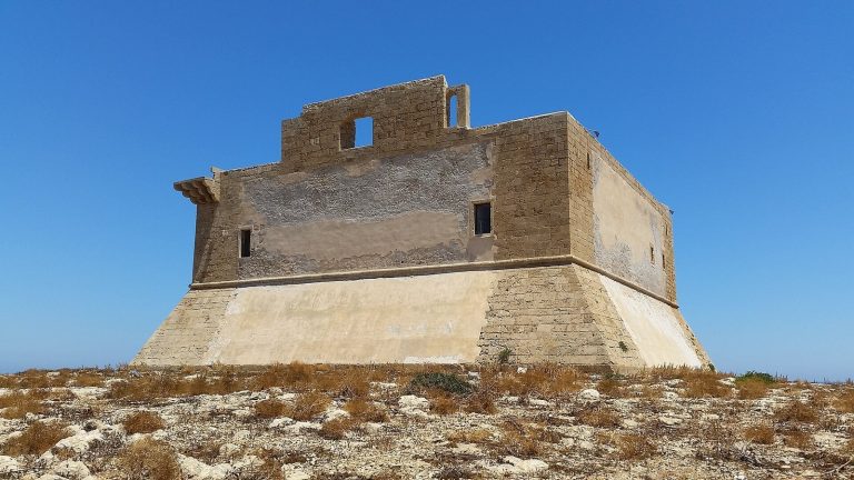
The city remained prosperous during the Byzantine period, the era of the Eastern Roman Empire, but was almost entirely destroyed after the arrival of the Arabs. In 1353, the Sicilian nobleman Blasco Alagona built a coastal-defense tower on the orders of Peter of Aragon.
Conservation of the archaeological area remains precarious. Damage to sections of its perimeter fence has been linked to illegal digging.
Remains
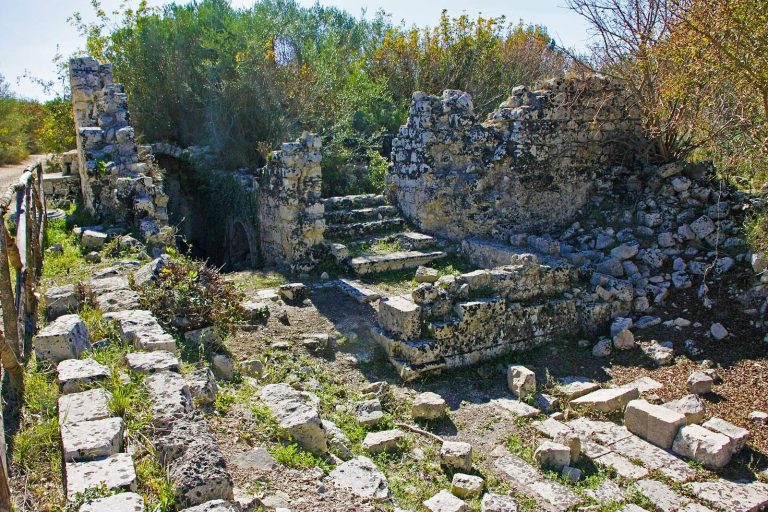
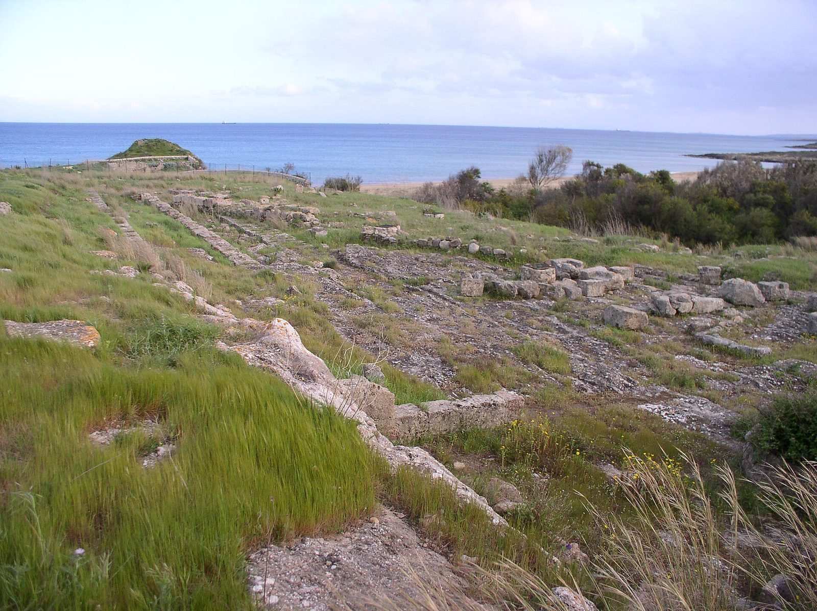
The archaeological area covers about 198,000 square metres on a hill roughly 20 metres above sea level. It overlooks the Ionian Sea, north of the Tellaro River’s mouth, about 8 kilometres southeast of Noto and 40 kilometres south of Syracuse. The surviving remains include parts of the walled city, its street plan and public buildings, sanctuaries, a theatre, and burial grounds.
City layout and public buildings
Defensive walls
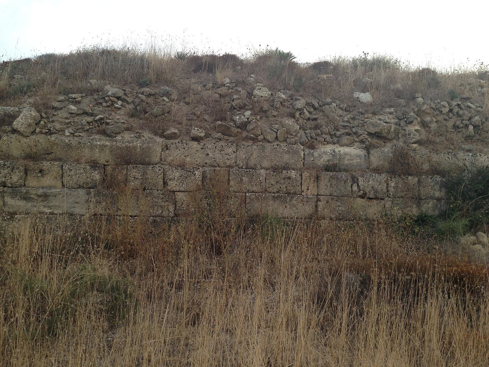
The city walls’ earliest phase is assigned to the sixth century BC, although archaeologist Paolo Orsi dated them to the fifth century BC. They were later rebuilt over earlier remains, probably in the second half of the fourth century BC. Surviving sections contain large, carefully cut blocks laid without mortar and square bastions, defensive projections from the wall.
Agora and street axes
Rainwater cisterns cut into the rock mark the public square, or agora. One street ran southeast from the square toward the sea, while a second followed a north–south line. Together they formed the city’s two principal street axes.
Greek theatre
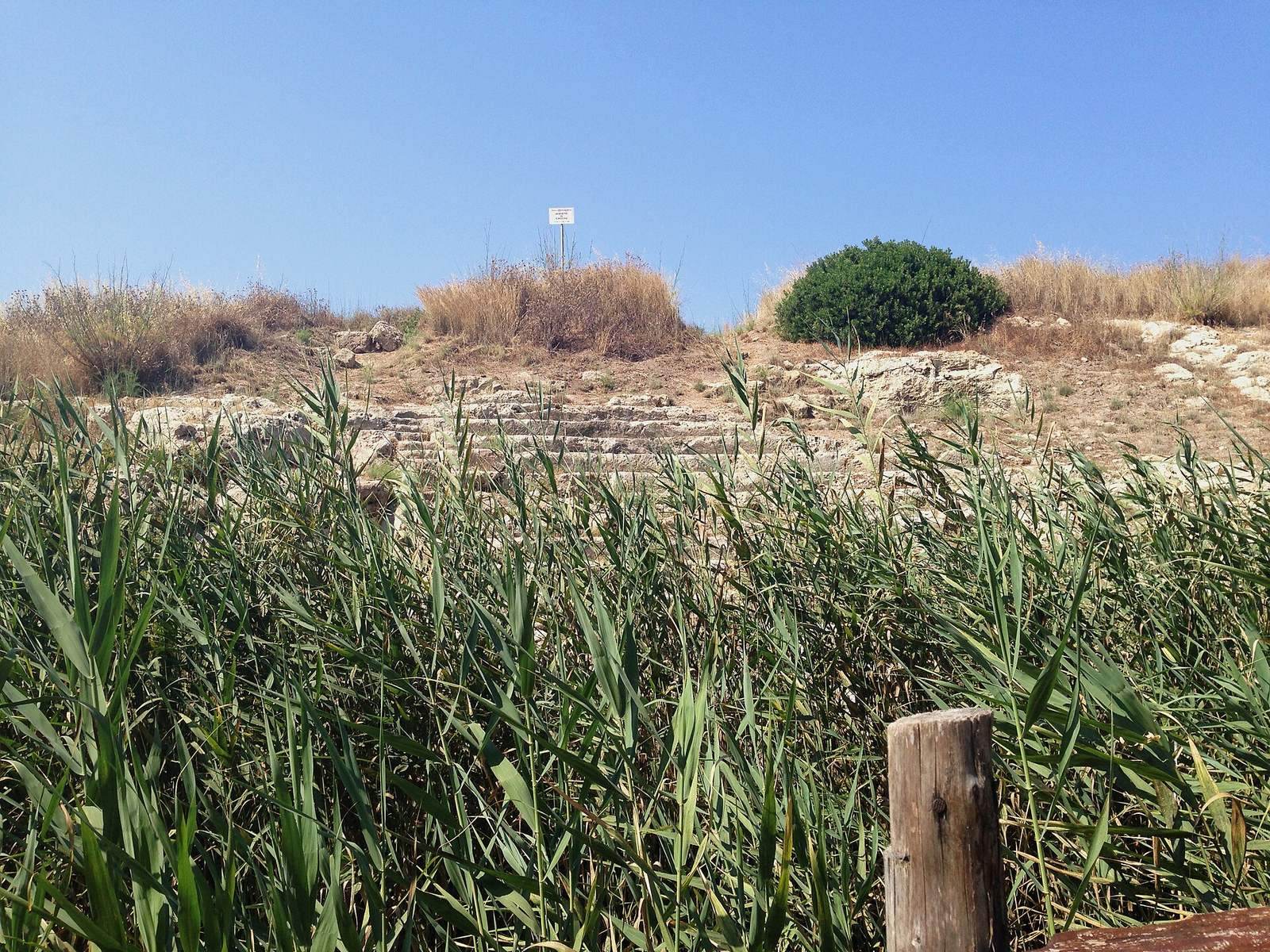
A theatre on the hill’s southern slope dates to the late fourth or early third century BC. It was partly cut into the rock and partly built. A drainage canal constructed in the 1930s damaged a section of the theatre.
Sanctuaries
Shore sanctuary
The principal sanctuary stood outside the northern city walls, by the shore, and was dedicated to Demeter, goddess of agriculture, and her daughter Kore, also known as Persephone. Its earliest phase dates to the sixth century BC, and it remained in use until the third century BC. The worship there may have continued an earlier tradition of the Sicels, an ancient people of Sicily. Votive offerings, objects dedicated to a deity, from the sanctuary are displayed in the Archaeological Museum of Noto.
Sanctuary within the city
The sanctuary was later established inside the city. Its urban form included a small temple with side walls projecting around its entrance porch, enclosed by a covered colonnade on three sides. The colonnade had a Doric façade, a classical Greek architectural style, and two aisles.
Healing sanctuary
Another sanctuary, perhaps dedicated to Asclepius, the Greek god of healing, dates to the fourth century BC. A courtyard was bordered by covered walkways. Sick visitors stayed and slept there while awaiting a healing visit from the god in a dream.
Offering storehouse
Near the healing sanctuary stood a small building for storing offerings, dating to the second half of the fourth century BC. Its entrance porch was framed by projecting side walls, like those of a small temple.
Burial monuments and grounds
Colonna Pizzuta
Northwest of the city, the Colonna Pizzuta is a funerary monument made from stacked limestone column drums. It measures 3.8 metres across and is reconstructed as about 10 metres high. It has been interpreted as a trophy commemorating Syracuse’s victory over Athens, but that reading is unsupported.
Rock-cut tomb
Near the column is a rock-cut hypogeum, an underground chamber, dated to the second half of the third century BC. Paolo Orsi excavated it in 1899, after which it was reburied.
Northern burial grounds
Four burial grounds occupied the rocky terrace north of the settlement. They are distinguished by the letters A through D.
Coastal tower and ancient road
Torre Stampace
The medieval Torre Stampace stands south to southeast of the city on the remains of an earlier fortress. Pliny the Elder, a Roman author, mentioned the fortress in the first century AD.
Via Elorina
Traces of the ancient Via Elorina (Elorina Road) survive in the adjoining Vendicari Nature Reserve.