Haft Tepe: An Archaeological Site Associated with Elamite Kabnak
Site at a Glance
- Popularity
- High
- Country
- Iran
- Primary era
- Bronze Age
- Eras represented
- Bronze Age
- Civilizations
- Elamite
- Site type
- Settlement
- Remains
- City
On this page15 sections
History
Kabnak under Tepti-Ahar
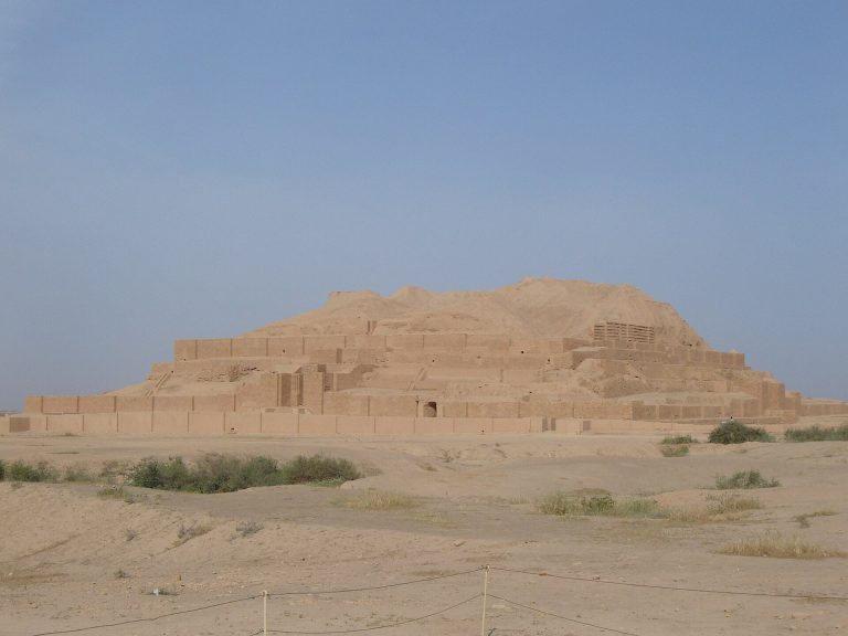
Haft Tepe is an archaeological site in southwestern Iran, about 15 km southwest of ancient Susa, associated with the Elamite city of Kabnak. Elam was an ancient kingdom centered in what is now southwestern Iran, and archaeological evidence dates Kabnak to approximately 1505–1350 BC. Earlier identifications proposed that the city was Tikni, but excavations instead identified it as Kabnak.
Kabnak may have been a political center during the 15th-century BC reign of Tepti-Ahar, the last king of the Kidinuid dynasty, an Elamite ruling house. Its actual political authority is uncertain. After Tepti-Ahar’s death, political power returned to Susa. One unconfirmed explanation proposes that Kabnak was established after he lost control of Susa.
Tepti-Ahar established a large funerary complex at Haft Tepe, where the Elamite god Kirwashir was worshipped. He may also have been buried there. Two seals found in a grave bear the name of Inshushinak-sarru-(rabu)-ilani, another Elamite ruler.
Destruction and archaeological work
Haft Tepe was reportedly razed in 645 BC by Assyrian troops led by Ashurbanipal, king of the Assyrian Empire.
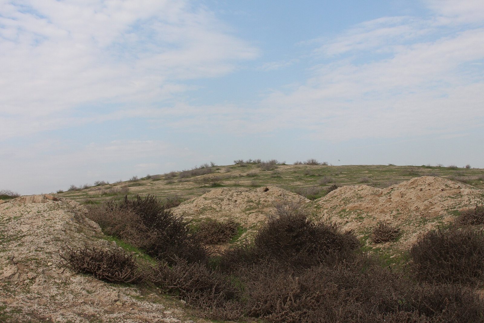
Sugarcane cultivation brought buried remains to attention when a plough became stuck. Road construction later exposed part of a mud-brick wall and a brick vault, prompting archaeological work. Jacques de Morgan, a French archaeologist, drew attention to the site in the late 19th century and surveyed it in 1908. He recorded its name in a form meaning seven jackals, apparently misunderstanding a local expression meaning seven mounds.
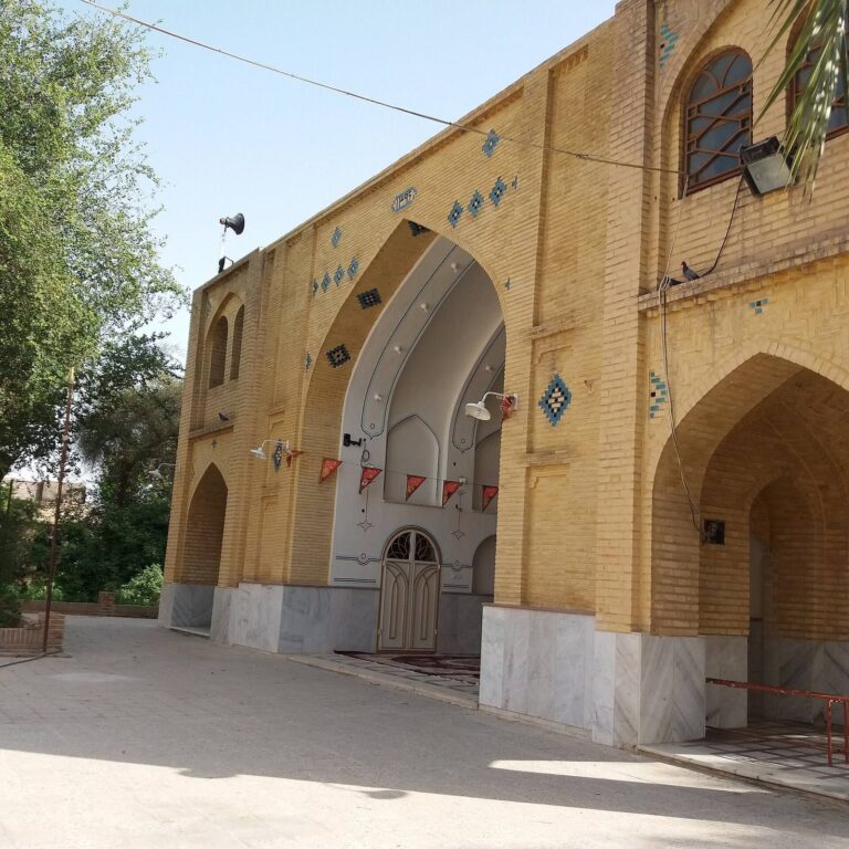
An Iranian team led by archaeologist Ezzat Negahban excavated Haft Tepe from 1965 through the late 1970s. From 2003 to 2013, a German-Iranian team led by Behzad Mofidi conducted ten excavation seasons, with participation from the universities of Mainz and Kiel and Iran’s Cultural Heritage Organization. A museum was established at the site to preserve finds and support archaeological research and fieldwork.
Remains
Site layout
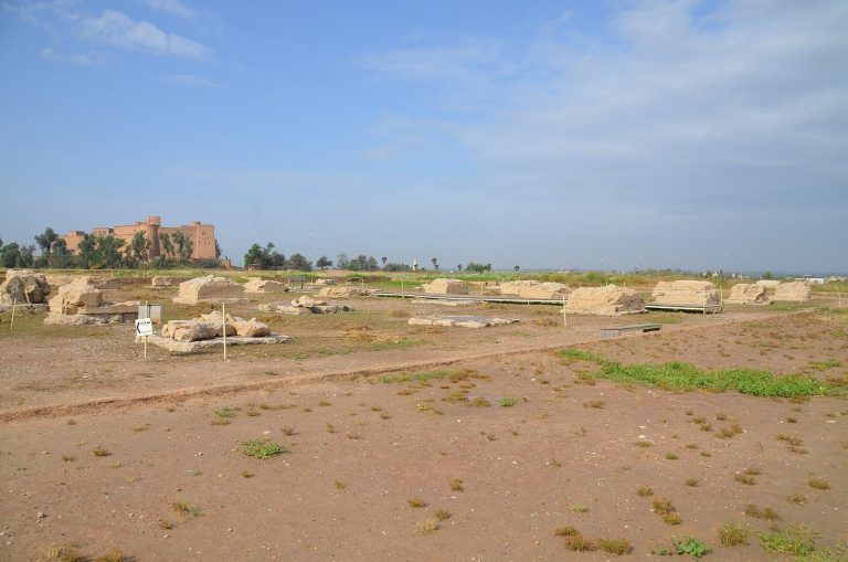
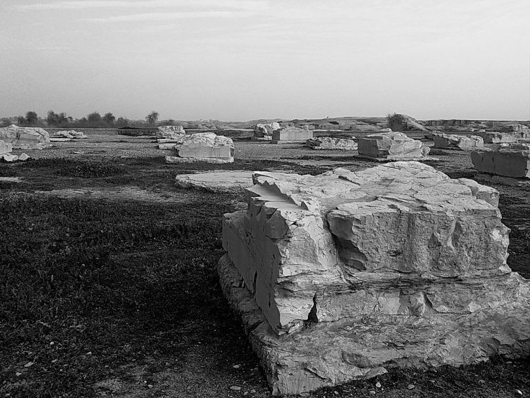
Haft Tepe extends across approximately 1.5 km², measuring roughly 1.5 km by 800 m. It lies in the fertile Khuzestan plain between the Dez and Karkheh rivers, within the area of the Haft Tepe sugarcane fields. The site consists of 14 mounds, the highest reaching about 17 m. Excavated remains include two large mud-brick platforms, a workshop area, and a possible palace.
Funerary complex
Tomb attributed to Tepti-Ahar
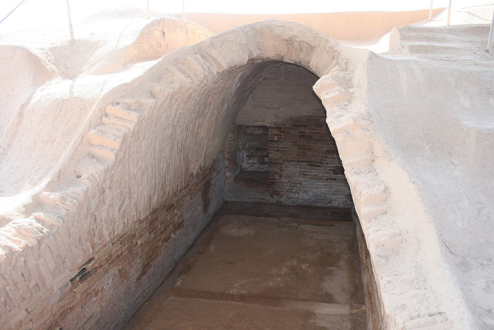
Beneath a large rectangular courtyard lies a subterranean funerary complex intended for Tepti-Ahar and his family. Two tombs have oval vaulted roofs built from baked brick set in gypsum mortar. The tomb attributed to Tepti-Ahar measures 10 m long, 3.25 m wide, and 3.75 m high. Skeletal remains were found inside, although their royal status is uncertain.
Collective tomb
A second tomb, built of brick and roofed with a semicircular vault, held approximately 21 to 23 skeletons. Some were placed side by side, while others were stacked or piled. Low walls divided a raised platform into three sections, and more skeletons had been piled near the entrance. Stone or brick closed the entrance after burials, which was later reopened for further interments.
Other excavated remains
Temples and large structures
The excavated buildings include a private temple associated with Tepti-Ahar, another temple building, courtyards, a long northern wall, and a long hall. Two structures are identified as either a ziggurat or a palace and numbered 1 and 2. Another large structure may be the foundations of a ziggurat, a tiered monumental building characteristic of ancient Mesopotamia.
Decoration and coffins
The funerary complex was decorated with bronze plates and wall paintings. Several terracotta sarcophagi, often called bathtub coffins, were also found at Haft Tepe.
Inscriptions and other finds
Stone inscriptions
Several large upright stone slabs, known as stelae, were found at the site. An inscription in contemporary Babylonian on one records funerary rites and duties, including sacrifices to be made before the chariots of a god and Tepti-Ahar.
Administrative records and legal agreement
Administrative texts from Tepti-Ahar’s reign include tablets recovered during the 2006 excavation season, most of them inventories. One bears the king’s seal and a date formula referring to the expulsion of Kadašman-dKUR.GAL by a local king; the identity of the expelled figure is uncertain.
A legal document sealed with a cylinder seal, a small engraved cylinder rolled over soft material to leave an impression, names Išme-karāb, king of Susa. Its text describes him driving away a demon and invokes the Elamite gods Napiriša and Inšušinak in connection with the agreement and a curse against anyone who altered it.
Ruler’s seals
Two seals recovered from a grave carry the name of Inshushinak-sarru-(rabu)-ilani, an Elamite ruler.