Große Heuneburg: An Early Celtic Hilltop Fortification
Site at a Glance
- Popularity
- Medium
- Country
- Germany
- Primary era
- Iron Age
- Eras represented
- Iron Age
- Civilizations
- Celtic
- Site type
- Military
- Remains
- Fort
On this page6 sections
History
Early Celtic fortification
The Große Heuneburg is an early Celtic hilltop fortification near Zwiefalten in Baden-Württemberg, Germany. Its construction has been dated to the eighth–sixth centuries BC, when it was contemporary with the Alte Burg at Langenenslingen and the Heuneburg near Hundersingen. The site has also been linked with both places.
Names and archaeological study
A description of the Riedlingen district published in 1827 called the site Heineburg. Heineburg and Heunenburg near Upflamör are also recorded as alternative names. In 1921, the German prehistorian and archaeologist Gerhard Bersu carried out systematic excavations and dated the fortification to the early Celtic period on the basis of the finds. A wider research project began excavating the site in 2016, with work by Baden-Württemberg’s State Office for Monument Preservation helping to establish its construction date.
Remains
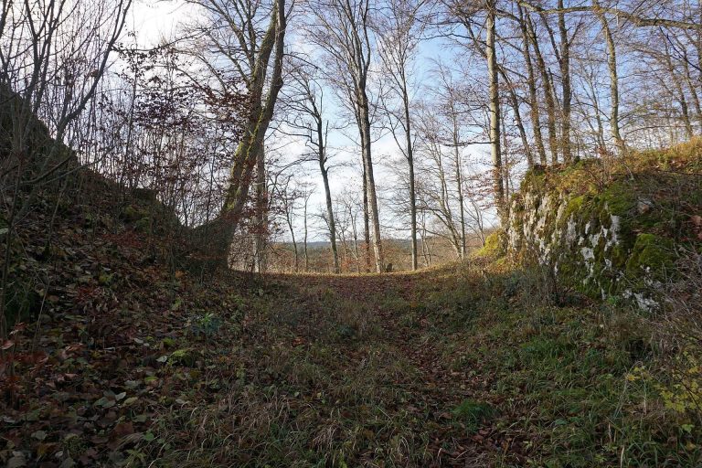
Enclosures and terrain
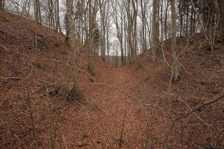
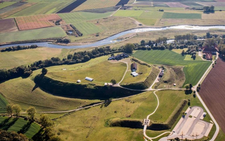
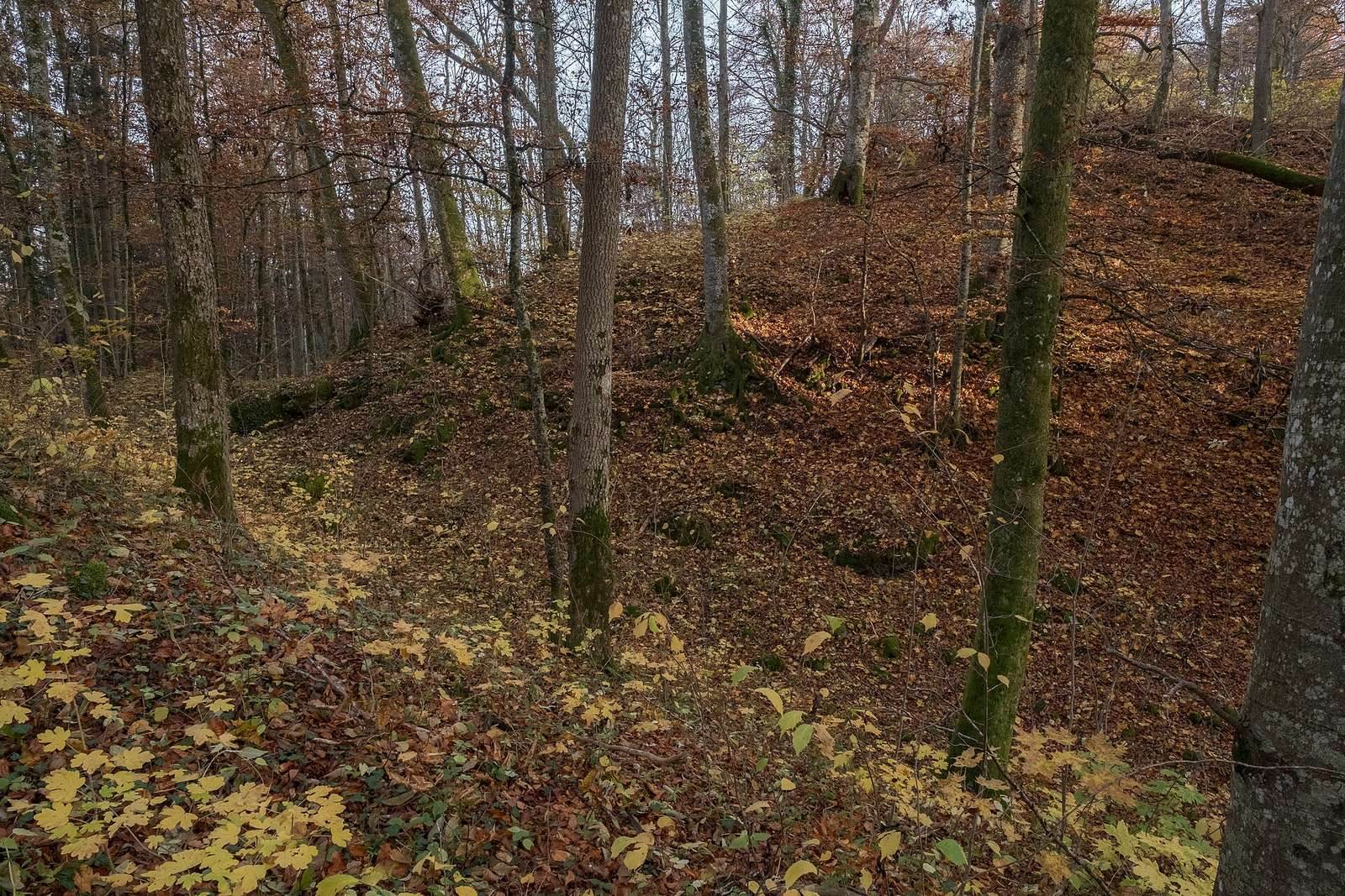
The hilltop settlement occupies a wooded ridge at about 708 m above sea level. Its main enclosure covers roughly 5 hectares on a trapezoidal plateau whose sides measure between 160 and 320 m. The ground slopes down around the plateau, with broad terraces extending from its base to the west and south. A ditch protects the northern side. To the north, an almost square outer enclosure of about 1.5 hectares lies slightly lower than the main enclosure and is separated from it by a ditch. Its southern edge meets the main enclosure’s northern ditch. Ramparts about 130 m long survive along the outer enclosure’s eastern and northern sides. Its purpose remains uncertain.
Walls and excavated features
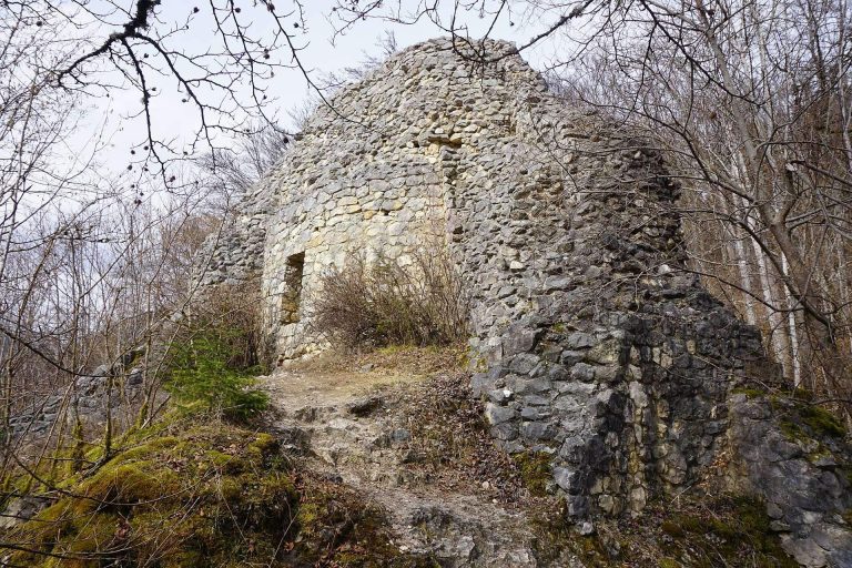
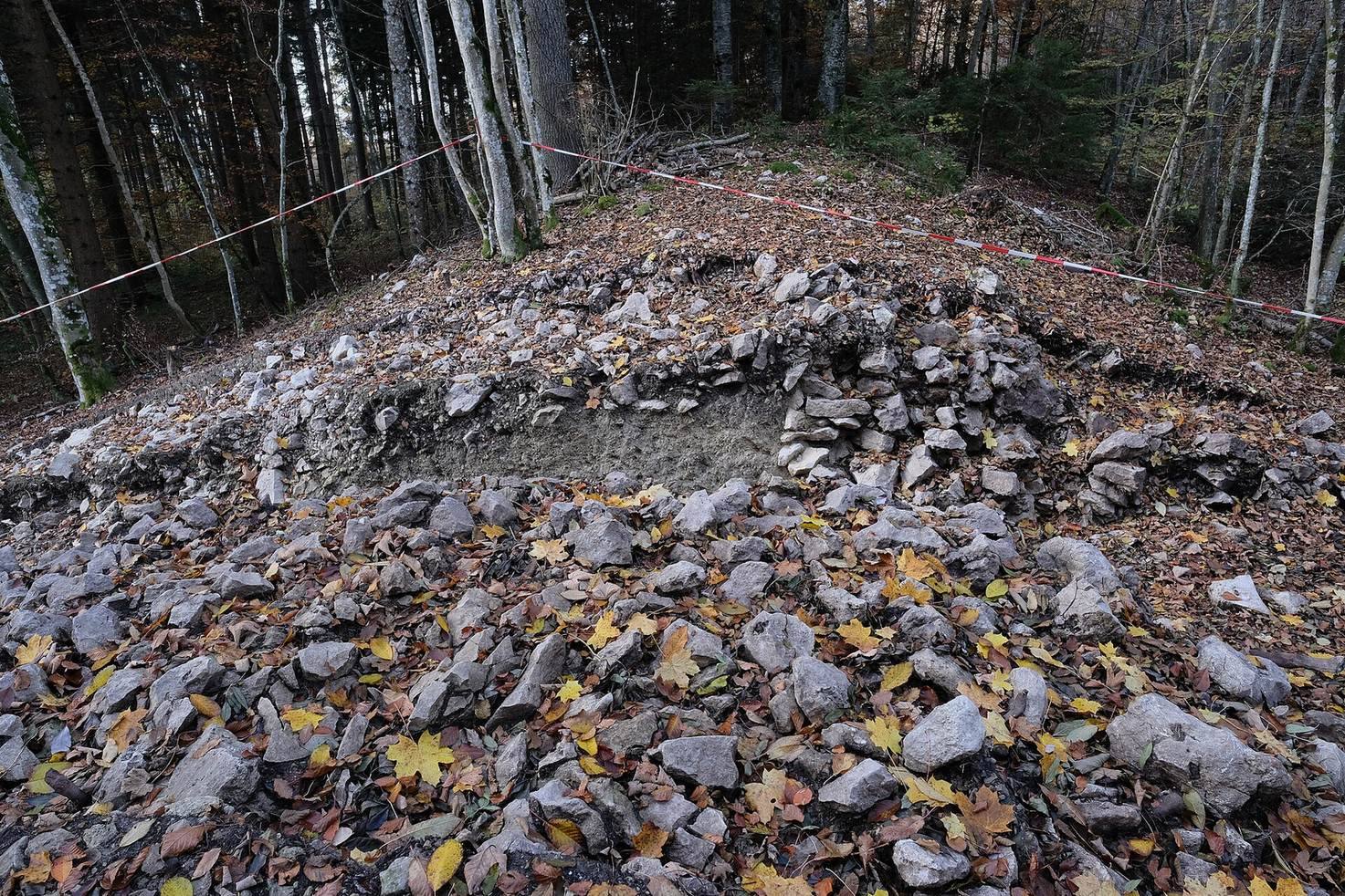
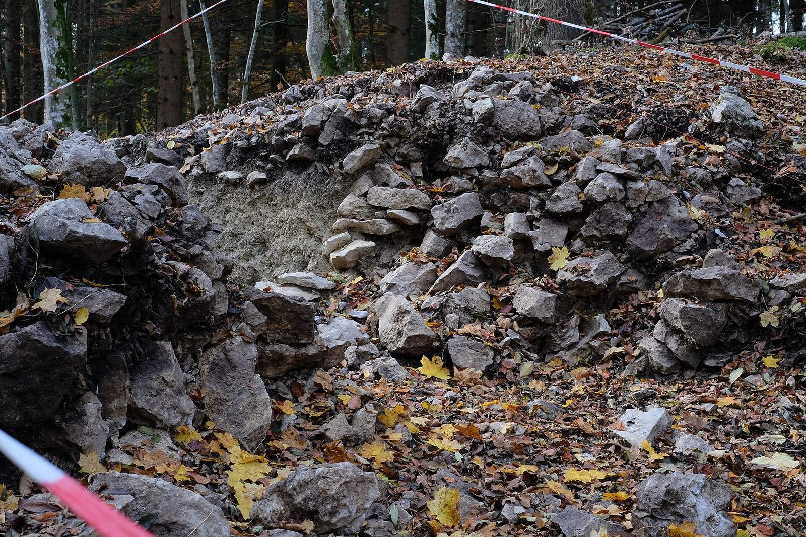
A stone wall protected the main plateau. Its remains lie beneath earth and vegetation but remain visible in the terrain. The terraces may also have been walled, which would have made the fortification conspicuous in the sparsely vegetated landscape of the time. Excavations in 2016 in the northwest of the main enclosure revealed a limestone wall with two stone faces built without mortar, along with the ground plan of a building measuring 9 by 16 m. In the eastern part of the outer enclosure, excavators exposed part of an earthen rampart covered with stones. Some parts of the fortification, particularly its ramparts, appear to have been altered in recent times, possibly through agricultural or forestry activity. The surviving remains include ramparts and ditches.