Bocheniec Hill Stronghold: An Early-Medieval Fortified Settlement in Poland
Site at a Glance
- Rating
- 4.8
- Popularity
- Very Low
- Country
- Poland
- Primary era
- Medieval
- Eras represented
- Medieval
- Civilizations
- Unclassified
- Site type
- Military
- Remains
- Fortified Town
On this page12 sections
History
Bocheniec Hill Stronghold is an early-medieval fortified settlement at Jadowniki in Poland, built during the period from the eighth to the eleventh century. Associated through archaeological and historical interpretation with the Vistulans, an early-medieval tribal polity of the upper Vistula region, it was one of the most prominent settlements of its kind in Lesser Poland. The complex was among the largest strongholds connected with the Vistulans and controlled a substantial part of the Sandomierz Basin.
The fortified settlement and its regional role
The stronghold formed a multi-part settlement on Bocheniec Hill. Its central fortified area was joined by an eastern suburb and a further refuge, a fortified place intended to shelter people, livestock, or possessions during danger rather than necessarily serving as the main permanent settlement. Nearby settlement sites lay on a flattened area northwest of the stronghold and beyond the eastern suburb rampart.
Bocheniec belonged to the type of substantial, multi-part stronghold characteristic of the tribal period of the early Middle Ages. Its defensive system included several ramparts and broad ditches, while the associated settlement areas contained evidence of buildings. Concentrations of burnt material, construction daub, and pottery from the middle phase of the early Middle Ages show that activity extended beyond the main fortified interior. These remains make it unlikely that occupation was confined to the area outside the stronghold.
Jerzy Okoński connected Bocheniec with a group of strongholds associated with the Vistulans, including sites at Zawada Lanckorońska, Zawada on Saint Martin’s Hill near Tarnów, Łapczyca near Bochnia, and Demblin at the confluence of the Vistula and Dunajec rivers. The attribution reflects the site’s regional connections and archaeological interpretation.
Investigation and protection
The first investigations took place in 1905, when Włodzimierz Demetrykiewicz was inventorying strongholds. He presented the results to the Anthropological Commission of the Polish Academy of Arts and Sciences in Krakow on 28 June 1906. Marian Wawrzeniecki, who took part in this work, prepared the first plan of the stronghold on 3 August 1910. The conservator of prehistoric monuments Józef Żurowski visited the site in 1925.
Gabriel Leńczyk carried out an extensive survey and documentation campaign on 22 July 1932. He later prepared another inventory, a further plan, and the most detailed description of the complex. His observations included damage caused by wartime activity, including Austrian trenches cut through the ramparts. A subsequent inventory took place on 24 June, although its year is not specified.
Preliminary investigations were conducted under Andrzej Żaki in 1966. The Carpathian Archaeological Expedition undertook surface investigations in 1968 and recovered pottery among other materials, with Antoni Jodłowski also conducting research at that time. In spring 1993, Andrzej Cetera, Eligiusz Dworaczyński, and Jerzy Okoński examined only 40 square metres. The limited area investigated did not allow the stronghold to be characterized in detail.
Further understanding depends on excavation of the defenses and interior. Proposed work includes trenches 4 to 5 metres wide through the ramparts to establish their construction and date the defensive complex more precisely, followed by investigation of the buildings within the stronghold. A complete examination would require many years. Local residents of Jadowniki recognized the site as a national cultural monument through decisions adopted at municipal meetings, and destruction of the ramparts was made punishable by law.
Remains
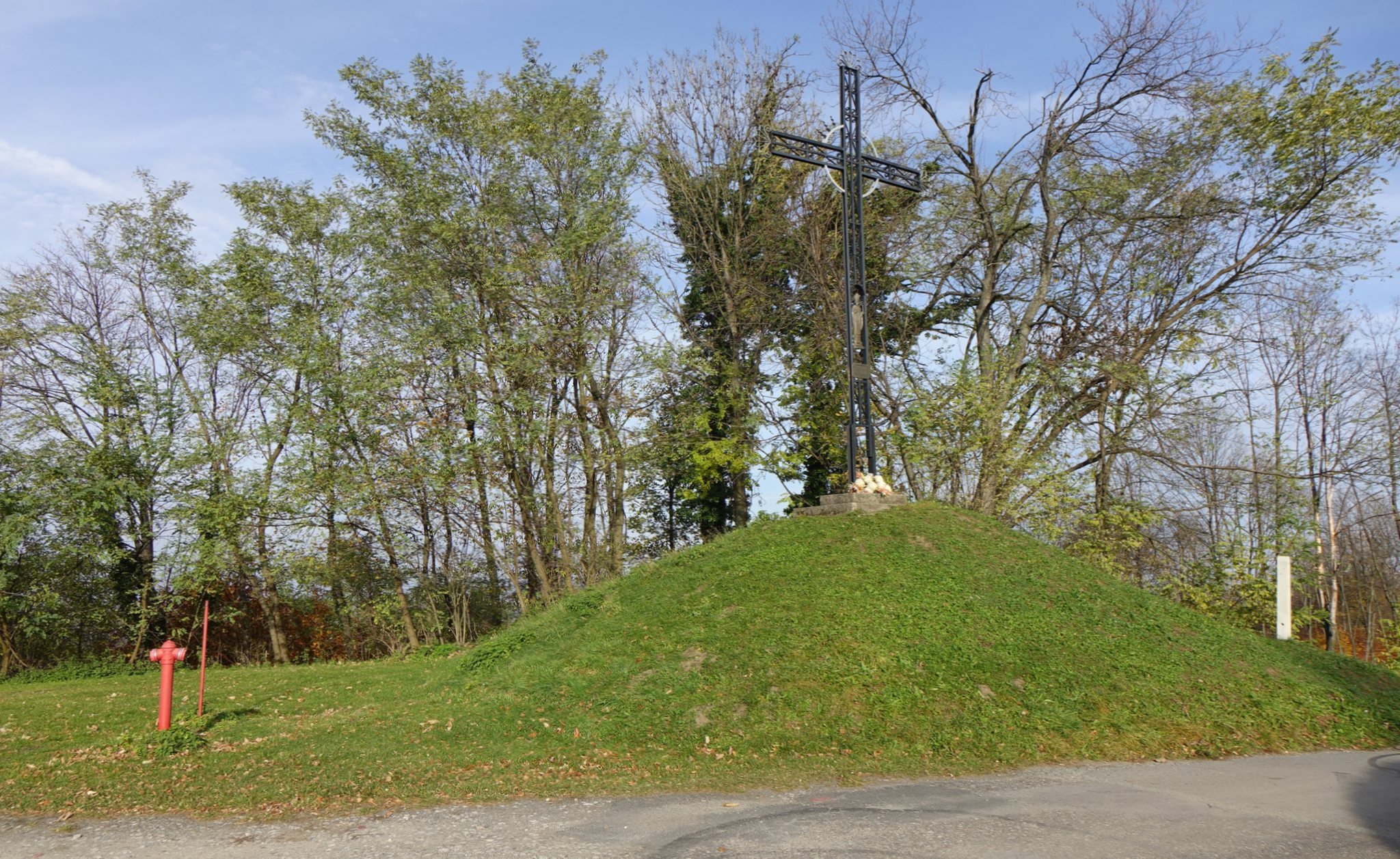
The remains occupy Bocheniec Hill in the Wiśnickie Foothills, within Jadowniki in Lesser Poland’s Brzesko County. The complex is arranged around an oval main stronghold in the highest western part of the hill. An eastern suburb adjoins it, while a larger refuge area extends farther east. The defenses were built mainly as layered wooden-and-earth ramparts, artificial embankments incorporating timber and soil, and were preceded by broad dry ditches.
Main defenses and fortified interior
Main stronghold
The central stronghold covered about 2 hectares and measured approximately 200 by 135 metres. Its first rampart enclosed the main interior and was about 3 metres high and 12 metres wide at the base. A second rampart surrounded the main stronghold at a distance of 20 to 30 metres from the first and continued around the eastern suburb. Across the entire fortified complex, the ramparts extended for approximately 1,400 metres, with a cautiously estimated total volume exceeding 50,000 cubic metres.
The principal ramparts are described as approximately 10 metres high and preceded by ditches about 20 metres wide. Their apparent reduction in height resulted from the filling or closing of the ditches alongside them. A third rampart followed the northern and western slopes but has been largely destroyed. Antoni Jodłowski proposed that another rampart once stood inside the main stronghold and was levelled by agricultural activity.
Eastern rampart
The eastern section of the second rampart is the best-preserved part of the defensive system. Its surviving height is given as up to 4.5 metres, with a base about 10 metres wide, while another description gives approximately 4 metres in height and 18 metres at the base. A road from Jadowniki, constructed several centuries ago, interrupts this section of the rampart.
Interior area
The main interior has not been investigated sufficiently to establish the character and density of its buildings. Surface investigations in the associated settlement areas produced burnt material, construction daub, and early-medieval pottery. These finds represent traces of buildings and indicate that the settlement had a wider physical extent than the central defended area alone.
Suburb and refuge area
Eastern suburb
The eastern suburb was approximately rectangular, measuring about 140 by 133 metres. A blocking rampart protected it, and the second major rampart also enclosed this part of the settlement. Its position beside the main stronghold formed part of the larger defensive arrangement on the hill.
Eastern refuge
Farther east, the refuge covered about 5 hectares. It was enclosed by a low rampart reinforced with a palisade, a defensive fence made of upright stakes. This outer defense extended for approximately 2 kilometres and formed the furthest part of the fortified complex.
Present physical setting
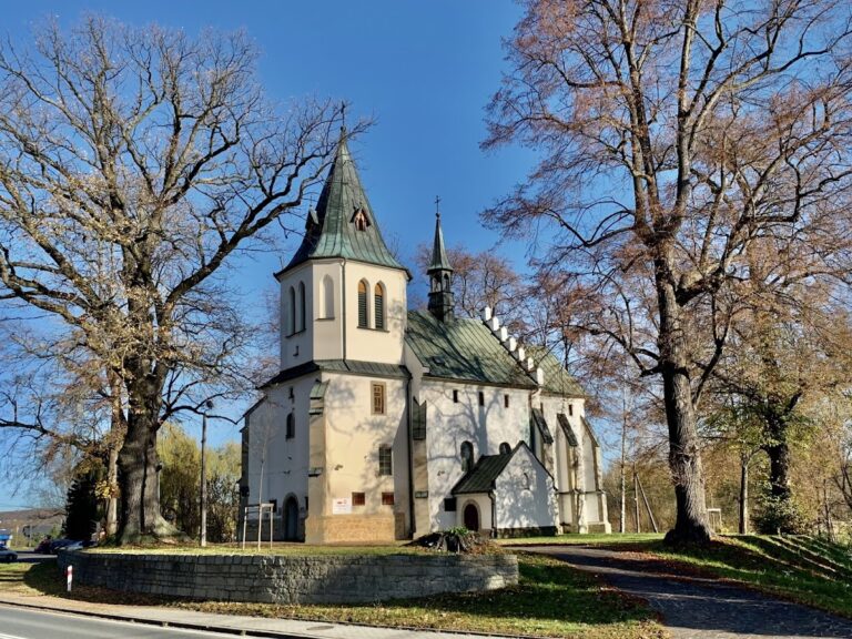
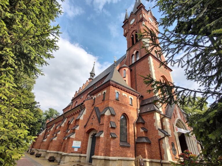
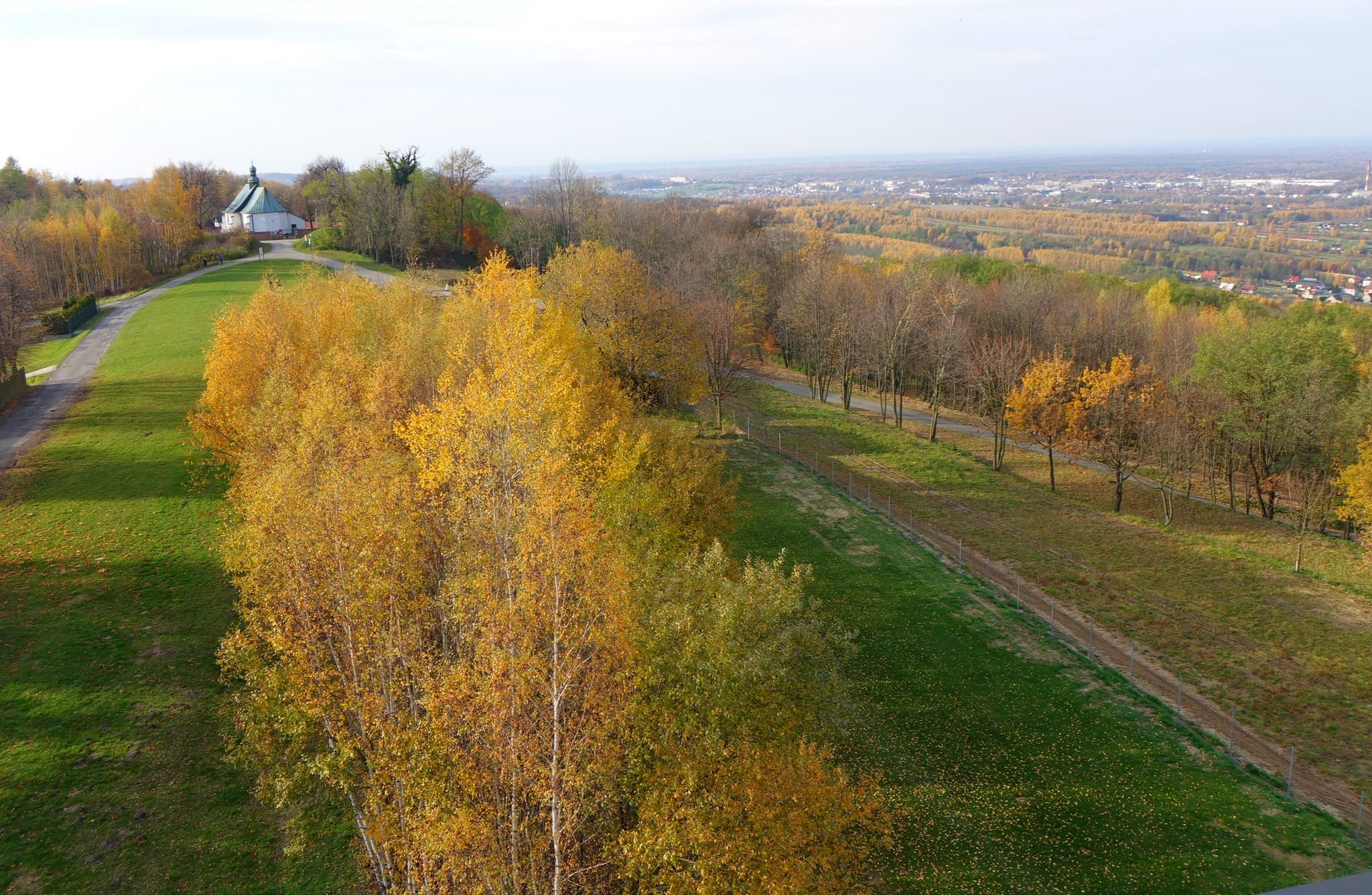
The site remains in relatively good overall condition, although arable fields and meadows occupy its area. The Church of Saint Anne on Bocheniec and a viewing tower in Jadowniki now stand on the ridge in the area of the former stronghold and suburb. Bocheniec is regarded as one of the most accessible and conveniently situated examples of an early-medieval defensive complex in the Carpathian region, and its surviving arrangement has been considered suitable for presenting early-medieval architecture.