Ithe Cistercian Grange: An Agricultural Estate in France
Site at a Glance
- Rating
- 4.4
- Popularity
- Low
- Country
- France
- Primary era
- Medieval
- External website
- Open
- Eras represented
- Medieval, Early Modern
- Civilizations
- French
- Site type
- Economic
On this page9 sections
History
Ithe Cistercian Grange, an agricultural estate belonging to Vaux-de-Cernay Abbey, is at Le Tremblay-sur-Mauldre in France. Founded around 1150, it grew through donations made on Roman ruins between 1150 and 1162, and King Louis VII confirmed it in a charter in 1162. The grange formed part of a wider medieval transformation in farming and land use, which reached a high point in thirteenth-century clearances.
Foundation and medieval use
The grange stood about a day’s walk from its parent abbey, a distance intended to keep their institutional ties close. Around ten lay brothers, known as conversi, carried out its manual and agricultural work. Its 130-hectare estate also encompassed smaller dependent holdings at Chamborz, Lapendie, Tronchay, and Sablon de Berchères. The origin of the name Ithe is uncertain. One proposal links it to the Germanic personal name Aita, written as Aytam in the 1162 charter and also used for the locality.
By the 1450s, the grange was being leased as a farm, while monks continued to visit it. In 1517, a tenant listed repairs to the buildings in return for a rent reduction. The estate also included a chapel dedicated to Saint Anne, associated with the Jouars fair until the eighteenth century.
Pontchartrain estate and decline
In 1692, the French statesman and chancellor Louis II Phélypeaux de Pontchartrain acquired the land and incorporated it into his estate, helping to consolidate landholdings in the region. The estate became an agronomic laboratory for physiocrats, eighteenth-century thinkers who considered agriculture the primary source of wealth. The Phélypeaux family gave up the property in 1801, after which it passed through successive owners.
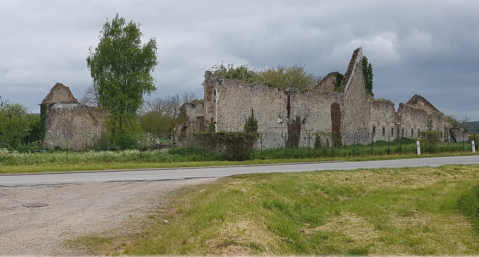
Accidental fires in 1944 and 1960 led to the farm’s abandonment. The buildings were also plundered for years, and local people took stone from the site for reuse.
Archaeological investigation and restoration
Preventive excavations carried out from 1994 to 1999 along the RN12 bypass route revealed the Gallo-Roman settlement of Diodurum. Planned excavations at the farm began in 2004 to investigate its Cistercian and Gallo-Roman layers. They also serve as university field schools, training students in excavation, building analysis, architectural recording, and the study of finds.
The ApsaDiodurum association was founded in 2003 at the initiative of the municipality of Jouars-Pontchartrain to study and safeguard the farm and assess the archaeological potential beneath it. In collaboration with the REMPART Île-de-France group, it began an international restoration project for the eighteenth-century chapel in 2005. Work to safeguard and restore the farm buildings has accompanied efforts to protect the ancient and medieval archaeological site.
Remains
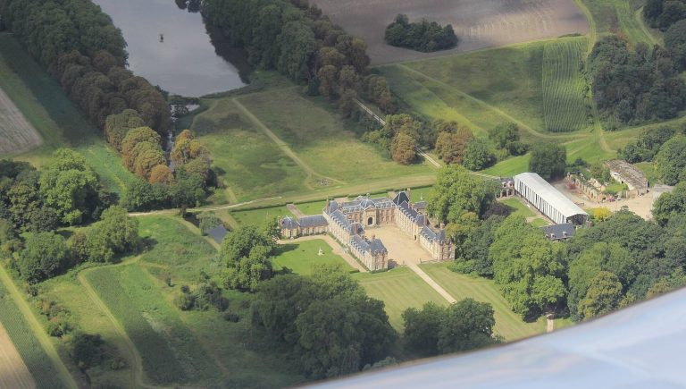
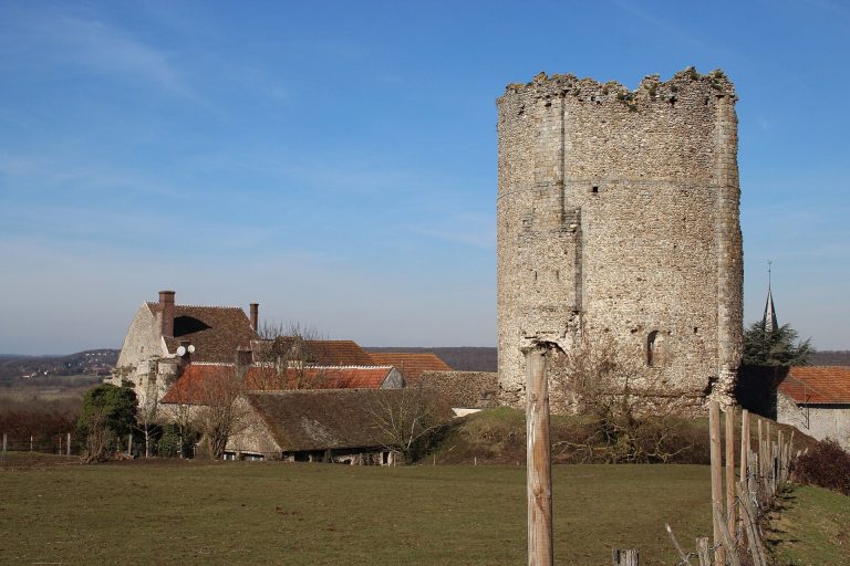
The estate’s physical features include farm buildings, water-related structures, and a chapel, with archaeological layers preserved beneath the farm. Much of the farm was built from hard stone also valued for making millstones.
The grange and its archaeological setting
Farm buildings and water features
The stone-built farm formed the working centre of the estate. A pond fitted with sluices was part of its agricultural landscape, and the estate also included a mill.
Chapel
An eighteenth-century chapel stands on the site of the original Cistercian chapel. It has been the subject of a restoration project begun in 2005.
Gallo-Roman settlement and buried layers
Diodurum extended across nearly 40 hectares. Excavations along the RN12 bypass uncovered settlement remains and numerous objects associated with everyday life, commerce, and craft work. The remains brought to light during that work were reburied beneath the road embankments. Cistercian and Gallo-Roman archaeological layers also remain in the farm’s subsoil.