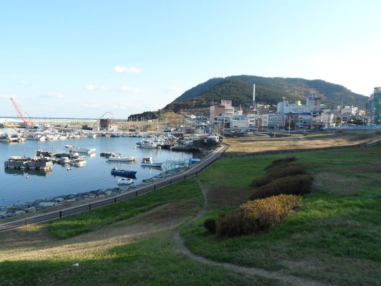
Goseong Songhak-dong Tumuli: A Gaya-Period Cemetery in South Korea
Site at a Glance
- Rating
- 4.5
- Popularity
- Low
- Country
- South Korea
- Primary era
- Classical
- External website
- Open
- Eras represented
- Classical
- Civilizations
- Unclassified
- Site type
- Burial
- Remains
- Necropolis
On this page8 sections
History
A cemetery of Sogaya
Goseong Songhak-dong Tumuli is a Gaya-period cemetery in Goseong-eup, Gyeongsangnam-do, South Korea, associated with Sogaya, one of the ancient polities that formed Gaya in southern Korea during the period traditionally known as the Three Kingdoms period. The cemetery contains about seven tombs thought to be connected with Sogaya rulers and represents a later Gaya cultural complex that followed the Early Iron Age culture known from the nearby Dongoe-dong shell midden.
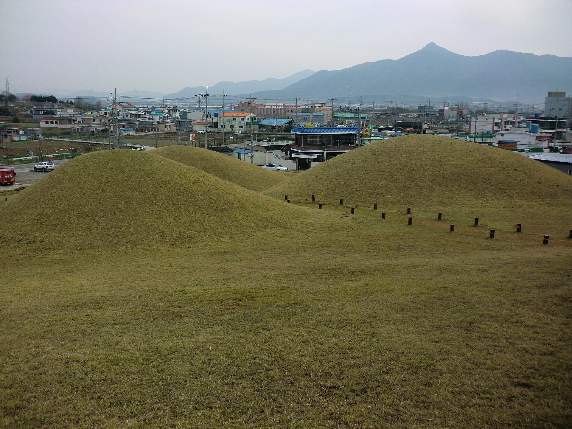
Tomb 1 is thought to have been the burial of a local chief because of its prominent position and substantial size. Its construction is estimated to have centered on around AD 400, within an approximate range of 50 years before or after that date. The tomb’s outward shape led to discussion because it resembles a Japanese keyhole-shaped tomb, a form made from a roughly square or rectangular mound joined to a rounded mound. Excavation instead identified the burial as a Gaya-style mound with an earth covering and a stone burial chamber.
The other six tombs are regarded as closely related to Tomb 1 and are interpreted as subsidiary burials intended to protect the principal tomb. Together, the group provides evidence for the political and funerary culture of the Goseong area during the Gaya period.
Recognition and protection
The cemetery became a South Korean Historic Site in 1963. It was designated a Gyeongsangnam-do monument in 1977, although that designation was withdrawn in 2001, and it received its present name in 2011. In 2023, Gaya Tumuli, including Goseong Songhak-dong Tumuli, was inscribed as a UNESCO World Heritage cultural property. Goseong County manages the site.
Remains
Tombs on the Mugisan ridges
The cemetery occupies the hills extending from Mugisan north of Goseong-eup, within a historic-site area of approximately 64,923 square metres. Seven tombs are arranged along the surrounding ridges. Tomb 1 stands at the highest point, while the other six descend progressively along the slopes, creating a spatial arrangement centered on the principal burial.
Tomb 1
Tomb 1 has an externally keyhole-like plan, with a squared front and rounded rear. Its excavated structure consists of an earthen mound built over a stone burial chamber, in which fitted stones formed the burial space. This construction identifies the tomb with Gaya burial practices despite the resemblance of its outer shape to Japanese keyhole-shaped tombs.
The six subsidiary tombs
The remaining six mounds occupy lower positions on the surrounding ridges. Their close relationship with Tomb 1 has led to their interpretation as subsidiary tombs associated with the protection of the principal burial.
Nearby archaeological remains
Another group of tombs lies about 300 metres south of the cemetery. A shell midden, an archaeological deposit formed by repeated disposal of shells and other food remains, lies about 300 to 400 metres to the west, with a further shell midden to the northeast. These remains include pit burials, jar burials, and stone-coffin burials. Bronze socketed spearheads, bronze sword-pommel fittings, mirror fragments, charred rice, and grey pottery found there provide material evidence for the ancient culture of the surrounding area.