Gla: A Fortified Mycenaean Site in Greece
Site at a Glance
- Rating
- 4.6
- Popularity
- Very Low
- Country
- Greece
- Primary era
- Bronze Age
- Eras represented
- Bronze Age, Modern
- Civilizations
- Mycenaean, Ottoman
- Site type
- Military
- Remains
- Fort
On this page22 sections
History
Neolithic and Mycenaean development
Gla is a major fortified Mycenaean site at Kastro in Boeotia, mainland Greece. Its fortification was built around 1300 BC or slightly earlier, at the beginning of Late Helladic III B, a phase of the later Mycenaean Bronze Age. The hill was already densely inhabited in the Early Neolithic, but its defenses belong to the Mycenaean period. Pottery from both the Neolithic and Byzantine periods has also been found at the site.
Gla is its modern name; the ancient name is unknown, and no secure identification has been made with a city in Homer’s Boeotian Catalogue of Ships. Ferdinand Noack and, before him, Ulrich von Wilamowitz-Moellendorff proposed that Gla was the ancient city of Arne. André de Ridder rejected the identification, and George Mylonas also disputed it. Strabo preserved a tradition that Arne and Mideia sank beneath Lake Kopais. Pausanias and Stephanos of Byzantium recounted related tales in which Athens and Eleusis disappeared beneath the lake.
Possible roles and abandonment
Gla may have been occupied intermittently, serving as a refuge, military camp and storage center. Its location amid fertile land reclaimed around Lake Kopais has led to the suggestion that it helped administer crops and coordinate the building and upkeep of drainage works. Another proposal is that Orchomenus and Thebes jointly established and ran the site, with representatives using its large central building. The open interior may also have held temporary buildings while construction and drainage work took place.
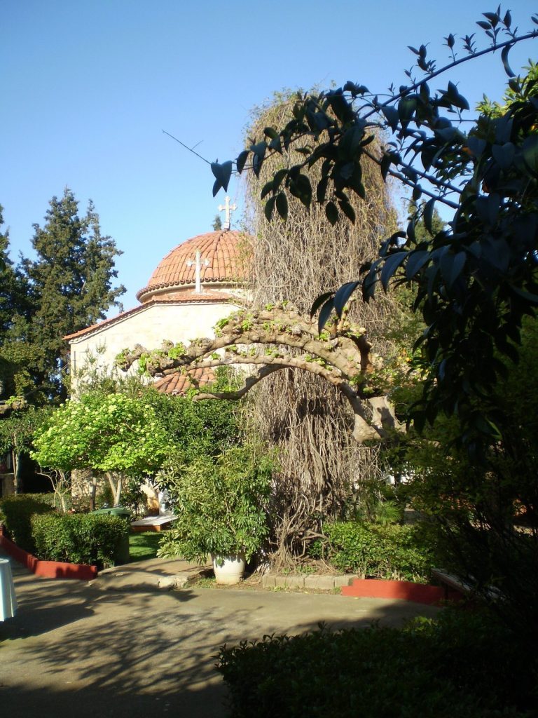
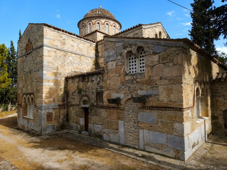
Gla was probably destroyed by fire during a hostile conflict in the late thirteenth century BC, in Late Helladic III B2. It was then abandoned as a settlement. The reason is unknown; archaeologist Elena Kountouri has suggested that a dry period changed local conditions and contributed to the abandonment of Gla and nearby settlements. A small church was later built on the foundations of the building conventionally called the palace.
At or after Gla’s abandonment, the drainage system around Lake Kopais ceased to function. The land became marshy, and the hill was periodically isolated as an island. The lake returned in Classical antiquity; nineteenth-century drainage culminated in its complete removal in 1887. Greek tradition attributed the disruption of the drainage to Heracles, the mythological hero famed for his strength and labors, who was said to have destroyed Orchomenus and blocked the lake’s natural outlets.
Names and archaeological investigation
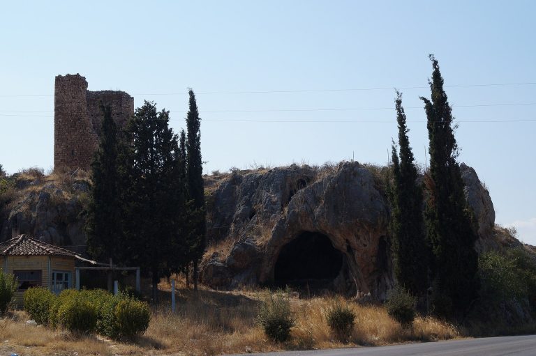
The origin of the modern name Gla is uncertain. It may derive from the Turkish kale, meaning fortress or castle, or from the Arvanitic goulas, ultimately borrowed from the Turkish kulle, meaning tower. Local people also use Palaiokastro, meaning old castle. During the Greek Revolution, the uprising against Ottoman rule that began in 1821, fighters built a chapel in an eastern enclosure to use as shelter.
Travelers noted the fortifications in the early nineteenth century, and Heinrich Ulrichs and Peter Wilhelm Forchhammer visited Gla in 1837. Detailed archaeological work began in 1893, when Ferdinand Noack made a preliminary plan and André de Ridder excavated the following month. De Ridder identified the large building on the hilltop as a palace and uncovered other substantial buildings. Noack returned in 1894 to survey the walls and visible structures, producing a detailed plan still used by researchers.
Ioannis Threpsiadis excavated at Gla from 1955 to 1961. Spyros Iakovidis continued the work in 1981-1983 and 1990-1991. Geophysical surveys directed by Christofilis Maggidis in 2010-2011 revealed previously unknown buildings. Planned work was halted after Vasilios Petrakos, secretary-general of the Archaeological Society of Athens, withdrew detailed reports before publication because he feared the information could attract looters. Maggidis argued that further research could help protect the site. A new five-year excavation led by Kountouri began in 2018.
Remains
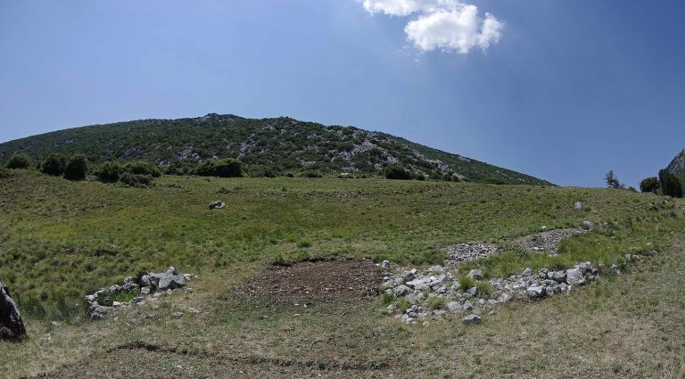
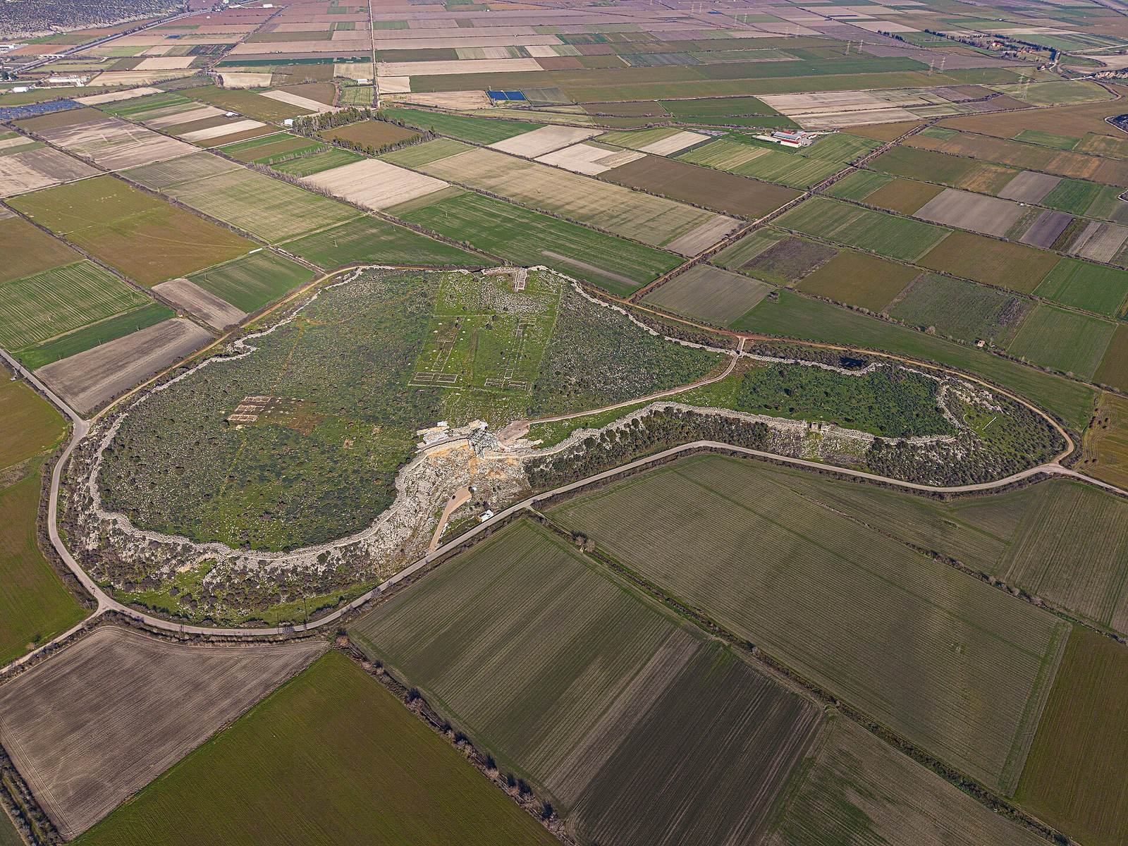
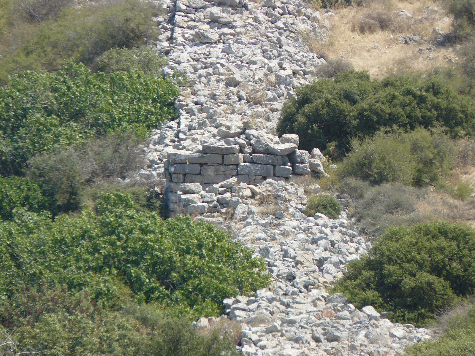
Gla occupies a flat-topped limestone hill that once projected into, or formed an island within, Lake Kopais. The hill rises up to 38 meters above the former lakebed and measures about 900 meters long by 575 meters at its widest point. Its fortifications enclose about 25 hectares, roughly ten times the area of the Mycenaean citadels at Athens or Tiryns. Within the wall are separate building compounds and broad areas of open ground. The defenses use roughly fitted limestone blocks, and the site’s buildings occupy several distinct enclosed areas.
Fortifications
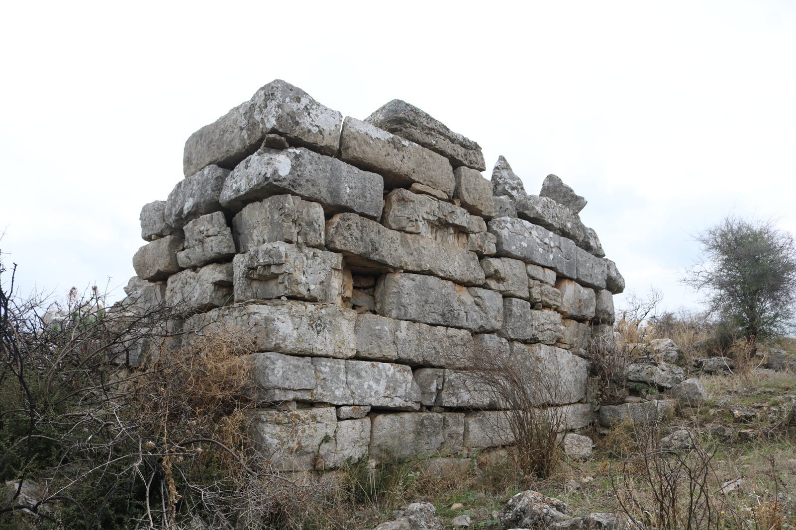
The defensive circuit is about 2.8 kilometers long. Its walls stand 3-5 meters high today and reach up to 5.75 meters thick; in many stretches they follow the steep hillside or cliff edge. Short, straight sections shift slightly against one another. The reason for this arrangement is uncertain. Suggested explanations include organizing the work in short stages, limiting collapse after damage, or adapting to stone unsuitable for curved walls.
West gate
The west gate, also called the Fig Tree Gate, is 5.30 meters wide. Projecting defensive structures, known as bastions, flank the passage, with its threshold set at their inner ends. A room measuring 2.80 by 3.20 meters stood to the left just inside, opposite a wall that probably supported a roof over the passage. About five meters beyond the entrance, a curved ramp turned left and reached the wall beside the left bastion.
North gate
The 5.50-meter-wide north gate also has a pair of bastions. A two-panel gate stood at their inner end. Beyond it, a room measuring 2.80 by 3.20 meters lay to the right, facing a space enclosed on two sides that was probably roofed. A second two-panel gate closed the far end of this small court.
Southeast gate
The southeast entrance consists of two openings, with bastions at the ends of the walls and between the passages. The western opening is 4.90 meters wide. Beyond its two-panel gate, a room measuring 3.10 by 3.00 meters lay to the right, followed by another gate. The eastern opening is 3.90 meters wide, with a two-panel gate and a room measuring 2.40 by 3.00 meters beyond it.
South gate
At 5.80 meters wide, the south gate is the largest and most heavily defended entrance. Its right-hand bastion projects about six meters farther south than the left one, exposing attackers to blows from the side not protected by their shields and from behind. Beyond the two-panel gate, a room measuring 4.25 by 2.90 meters lay to the left. Across from it, a space enclosed by two walls was later converted into a room; a ramp behind this area led to the wall.
Smaller openings and wall chambers
Geophysical surveys identified two small defensive exits in the southern wall. One descends by a narrow stairway to a cave outside the fortification. The other, 60 meters to the west and three meters wide, leads to an external terrace. Five narrow rectangular niches between them were probably reached from the wall and used as guard posts. A matching niche was identified in both the western and northern wall sectors. Room-like spaces within the defenses, situated north of the west gate, east of the north gate and west of the south gate, may have been chambers incorporated into the walls or towers.
Northern enclosure
L-shaped building
The largest interior building stands on an artificial terrace at the hill’s highest point, in the north. Conventionally called the palace, it has an L-shaped plan formed by two separate wings, one running north-south and the other west-east. Most rooms are small, grouped in sets of six and connected by corridors. The arrangements at the ends of the L have been compared with megaron halls, characteristic Mycenaean buildings typically organized around a central hearth and porch. The building’s purpose remains uncertain. Fragments of painted plaster came from rooms 5 and 9 in the western wing. In the courtyard where the wings meet, excavators found half of a horn-shaped ritual object, probably once mounted on the roof.
Surrounding walls and enclosures
A thinner wall enclosed the main building and an area of about 1.5 hectares, with entrances on the east and south. Another small walled area lay to the east; its function is unknown. A later Byzantine church was built on the foundations of the main building.
Southern enclosure
Parallel building complexes
South of the northern enclosure lies a walled area conventionally called the agora, a name for a public gathering place, although the function of this compound is uncertain. A gate gives access from the enclosure, while a further gate to the south connects the area with the rest of Gla. Within it, foundations preserve two parallel building complexes with similar plans and north-south orientations. In each, a long corridor links northern and southern sections divided into small rooms. The buildings may have served as barracks, storage or distribution spaces, or workshops. Large quantities of carbonized grain in one building support the possibility of crop storage.
Finds from the buildings
A pit in front of room N1 in the eastern complex contained fragments of a decorative band showing dolphins, a seal and a bronze socket for a door pivot. Other painted plaster fragments came from room M3, interpreted as a kitchen, and room H4 in building H.
Eastern enclosure and outer buildings
Eastern enclosure
A wall separated a smaller eastern compound from Gla’s main area and met the southeast double gate. The eastern opening gave access to this compound, while the western opening led into the main part of the site. The chapel built there by fighters around 1821 survives in scant remains.
Buildings beyond the enclosures
Geophysical surveys identified numerous buildings outside the walled compounds. Excavations in 2018-2019 uncovered six similar buildings with the same orientation, each covering 240 square meters. They may have been used to store crops or as workshops.
Open ground and roofing
Permanent structures occupy less than a quarter of the area inside the fortifications, leaving much of the enclosed space open. Fired pan tiles and cover tiles, complementary forms used together in a roof, indicate that some Mycenaean buildings at Gla had pitched, tiled roofs.
Kopais drainage works
The prehistoric drainage system formed part of an extensive engineering project associated with agriculture in the region. It included dams and canals. Two major canals met about one kilometer north of Gla and together extended for more than 50 kilometers. They gathered water from the Boeotian Cephissus and Melas rivers and directed it toward routes where it could flow more readily to the sea.