Brvenik Fortress: A Medieval Stronghold in Serbia
Site at a Glance
- Popularity
- Medium
- Country
- Serbia
- Primary era
- Medieval
- Eras represented
- Medieval
- Civilizations
- Serbian
- Site type
- Military
- Remains
- Castle
On this page10 sections
History
Brvenik Fortress is a medieval stronghold in Serbia, first mentioned in 1230, although its construction date is unknown. Brvenik developed as a market town and the center of a medieval župa, or territorial district, covering the middle courses of the Ibar and Brvenica rivers.
Medieval town and commerce
Records from 1280 refer to merchants from Kotor and Dubrovnik living at Brvenik. They maintained a colony and built a church dedicated to Saint Tryphon, mentioned in 1346. Their presence was associated with nearby Kopaonik mines, particularly those at Ostraće and Koporić. In 1355, a merchant from Kotor sold a house at Brvenik to another Kotoran for 110 perpers, a historical monetary unit.
Other religious centers in the surrounding area included the pre-Nemanjić monasteries of Stara Pavlica and Ibar Gradac. Saint Nicholas’s Church at Baljevac dates to the late twelfth or first half of the thirteenth century, while Saint Nicholas’s Church at Šumnik, founded by an unidentified noble, dates to the late thirteenth or early fourteenth century.
Brvenik under Serbian nobles
In July 1363, Prince Vojislav Vojinović exchanged Brvenik and its district with the nobleman Musa for Zvečan and its district. Emperor Stefan Uroš V confirmed the agreement in a charter listing villages within the Brvenik župa. The exchange helped Vojislav consolidate his territory and was considered strategically more advantageous to him. Brvenik then became the center of Musa’s domain.
Musa’s sons, Stefan and Lazar Musić, and their mother Dragana founded the nearby monastery of Nova Pavlica. Dragana was the sister of Lazar Hrebeljanović. After Stefan and Lazar Musić died at the Battle of Kosovo in 1389, a major conflict between Serbian forces and the Ottoman army, they were buried at the monastery. Lazar Hrebeljanović’s body also rested for one night in its church while being carried from Kosovo to Ravanica.
Ottoman rule and later use
After 1389, Brvenik probably came under the control of Vuk Branković. The Ottomans captured it in 1455. In 1476 it became the seat of a kadiluk, a judicial-administrative district associated with a judge, within the Sanjak of Smederevo. From 1480 that Ottoman administrative district was called the Sanjak of Zvornik. Brvenik later served as the center of a nahija, an Ottoman administrative subdivision.
An Austrian map shows Brvenik in 1690, and Ottoman records indicate that it remained inhabited into the early nineteenth century. The surrounding area also took the name Brvenik, which was used during the 1833–1835 demarcation of the border between the Principality of Serbia and the Ottoman Empire. A border guard was stationed at Brvenik facing Ottoman territory until the First Balkan War of 1912–1913. The fortress and the Saint Nicholas church below it are protected cultural monuments of the Republic of Serbia.
Remains
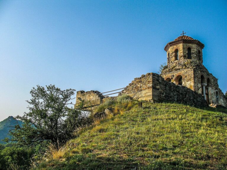
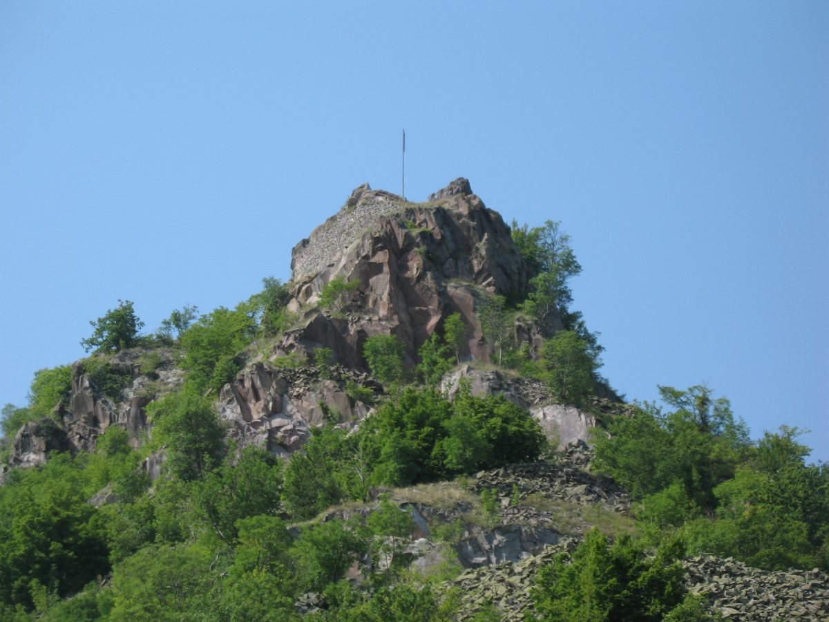
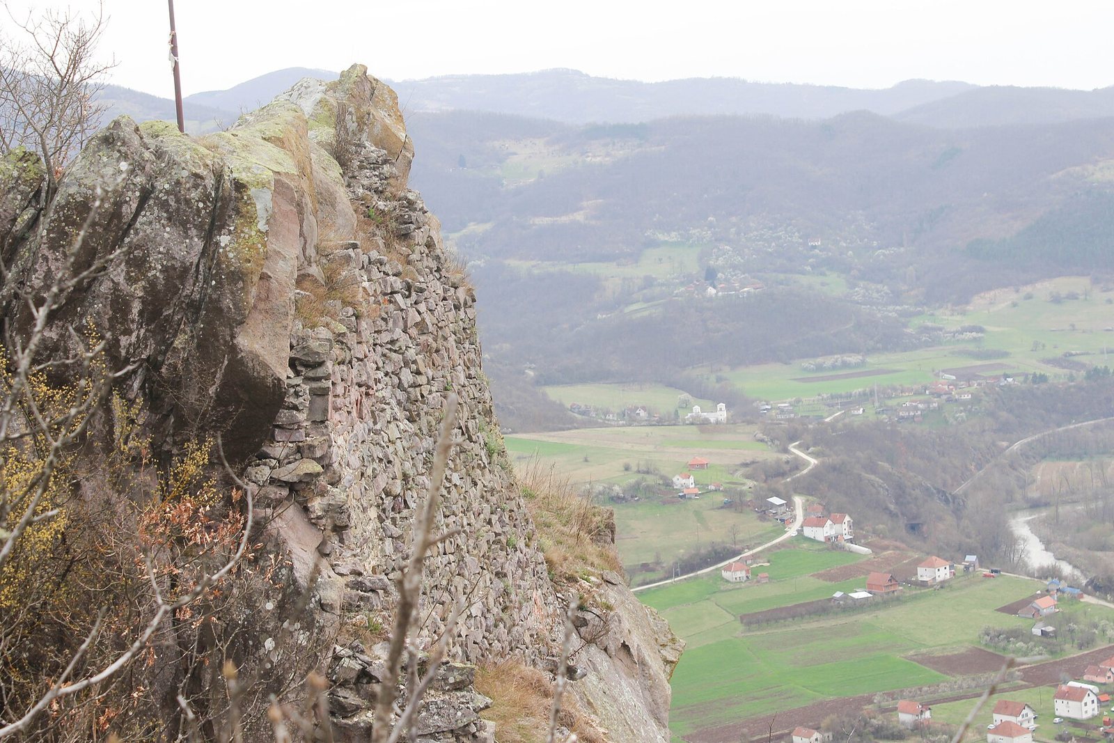
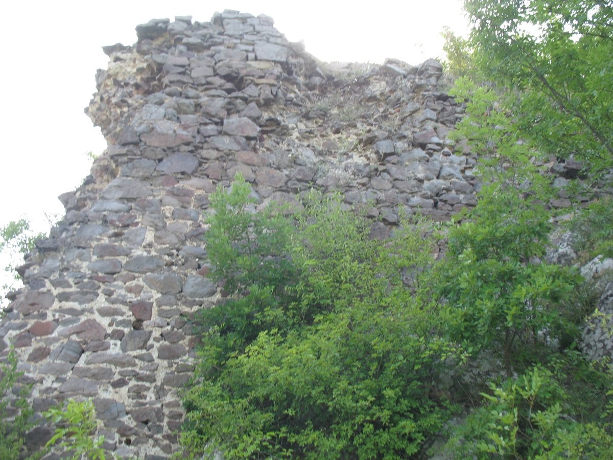
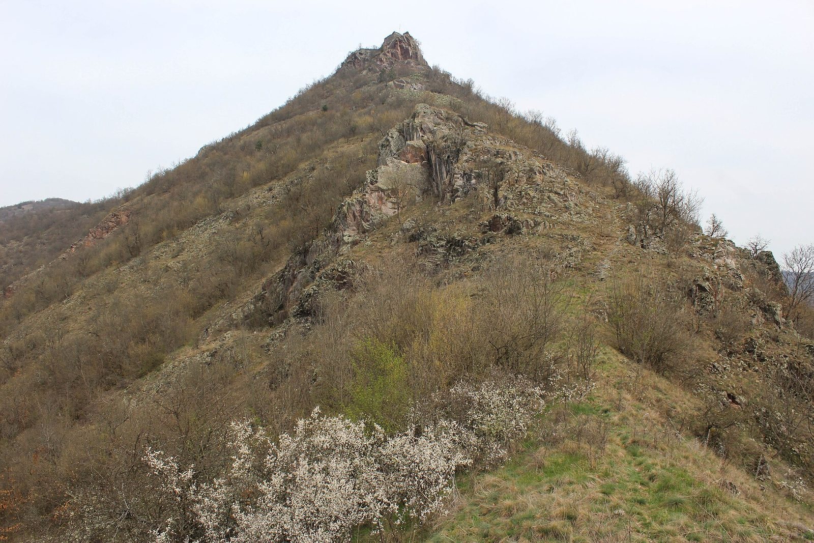
The fortress follows the summit and slopes of Gradina hill, at about 599 metres above sea level, overlooking the meeting of the Brvenica and Ibar rivers. At Bela Stena, roughly 8–10 kilometres north to northeast of Raška, its walls were built from crushed stone set in lime mortar. The layout extended from a high central stronghold northward and southward along the terrain. Tall vegetation and large quantities of stone now cover the site.
Fortifications
Citadel and connecting wall
An elongated, elliptical citadel occupied the highest point. Fragments of its retaining wall remain on the rock. From the citadel, a wall descended north toward a circular tower.
Northern and southern defenses
The northern side offered the easiest access to the fortress, and a dry moat added an obstacle there. South of the citadel, the fortified area extended toward the river confluence and a lower summit at about 500 metres above sea level. A projecting semicircular tower stood on this rise, where an old road approached the fortress.
Eastern passage
An underground passage on the eastern side connected the fortress with the Ibar. It probably supplied water during a siege.
Church below the fortress
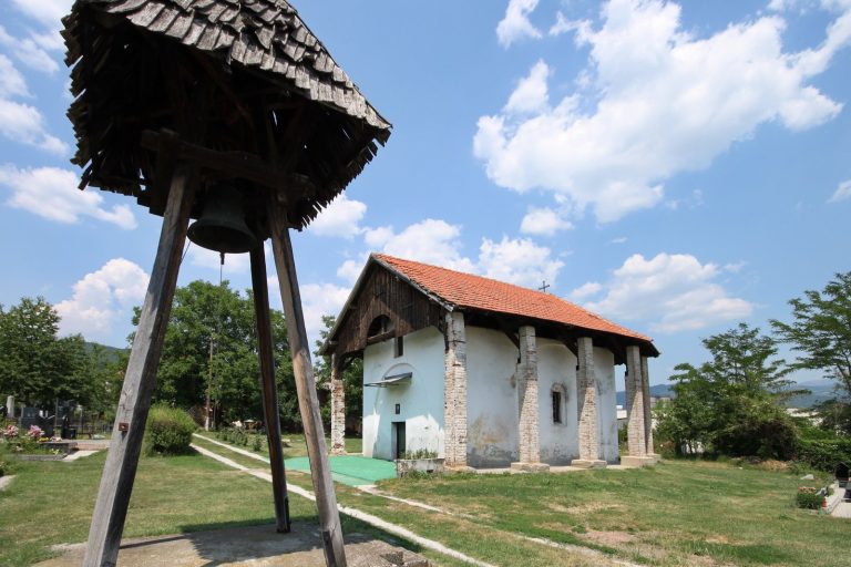
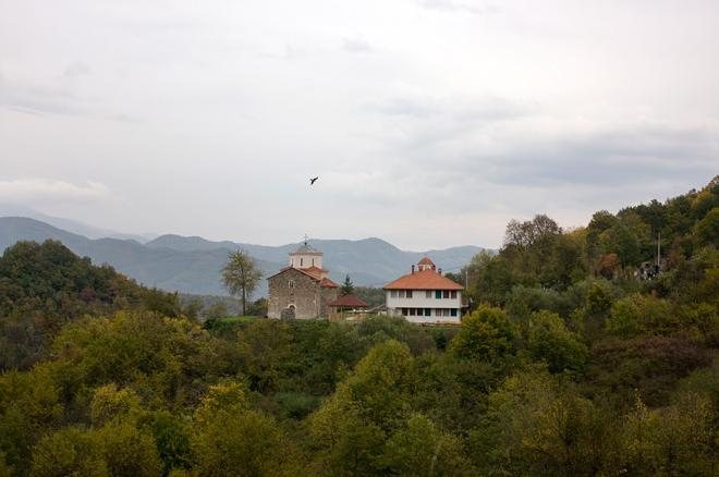
The small Saint Nicholas church below the fortress had a single nave ending in an apse, the projecting end of a sanctuary, with pilasters, shallow supports attached to a wall, dividing the interior into three bays. Its walls were built from roughly dressed blocks of trachyte, a volcanic rock, and tombstones were reused as paving. Fragments of frescoes from the second half of the fourteenth century survive. In the early twentieth century, the church still had an intact dome and interior frescoes.