Fort of Giribita: A Portuguese Coastal Defence Fort
Site at a Glance
- Popularity
- Low
- Country
- Portugal
- Primary era
- Early Modern
- Eras represented
- Early Modern
- Civilizations
- Portuguese
- Site type
- Military
- Remains
- Fort
On this page4 sections
History
Fort of Giribita is a coastal fort in Oeiras, Portugal. Completed in 1649 in the Mannerist style, a European style that followed the High Renaissance and favored deliberate complexity and stylized forms, it formed part of Lisbon’s coastal defenses. The system extended from Cabo da Roca to Belém Tower, and Giribita could exchange fire with Fort of São Bruno to the east. Its construction took place during the Portuguese Restoration War (1640–1668), the conflict in which Portugal regained independence from the Spanish Habsburg monarchy.
Built over an earlier artillery battery, the fort was rebuilt and enlarged following a decision by the Council of War, a military advisory body established by King John IV. António Luís de Meneses, 1st Marquis of Marialva, supervised the work. The fort was also known as the Fort of Our Lady of Porto Salvo and the Fort of Ponta do Guincho.
Artillery service and civil conflict
In 1735, the fort had two usable artillery pieces, while five others were unfit for service. It may have held seven cannon in 1763, but only two were functioning by 1824. During the Portuguese Civil War of 1828–1834, fought between supporters of constitutional government and supporters of absolutist rule, the fort was equipped with seven cannon and staffed by 22 gunners.
Later military and administrative use
Restoration work began in 1873. Four years later, the Defence Commission of Lisbon took responsibility for the fort and used it to store torpedo equipment. This function continued in 1911, when repairs were also undertaken.
Construction of the EN6, or Marginal highway, substantially changed the fort’s surroundings before it was transferred to the Ministry of Finance in 1942. The highway links Lisbon and Cascais along the river and coast. After the Carnation Revolution of 1974, the military-led overthrow of Portugal’s Estado Novo dictatorship, the fort passed to the Directorate of Naval Infrastructure in 1975. The Portuguese government owns it, and the Portuguese Navy occupies it.
Remains
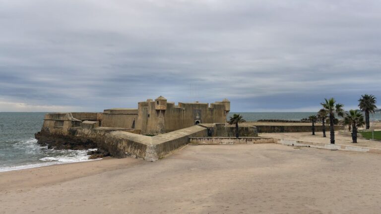
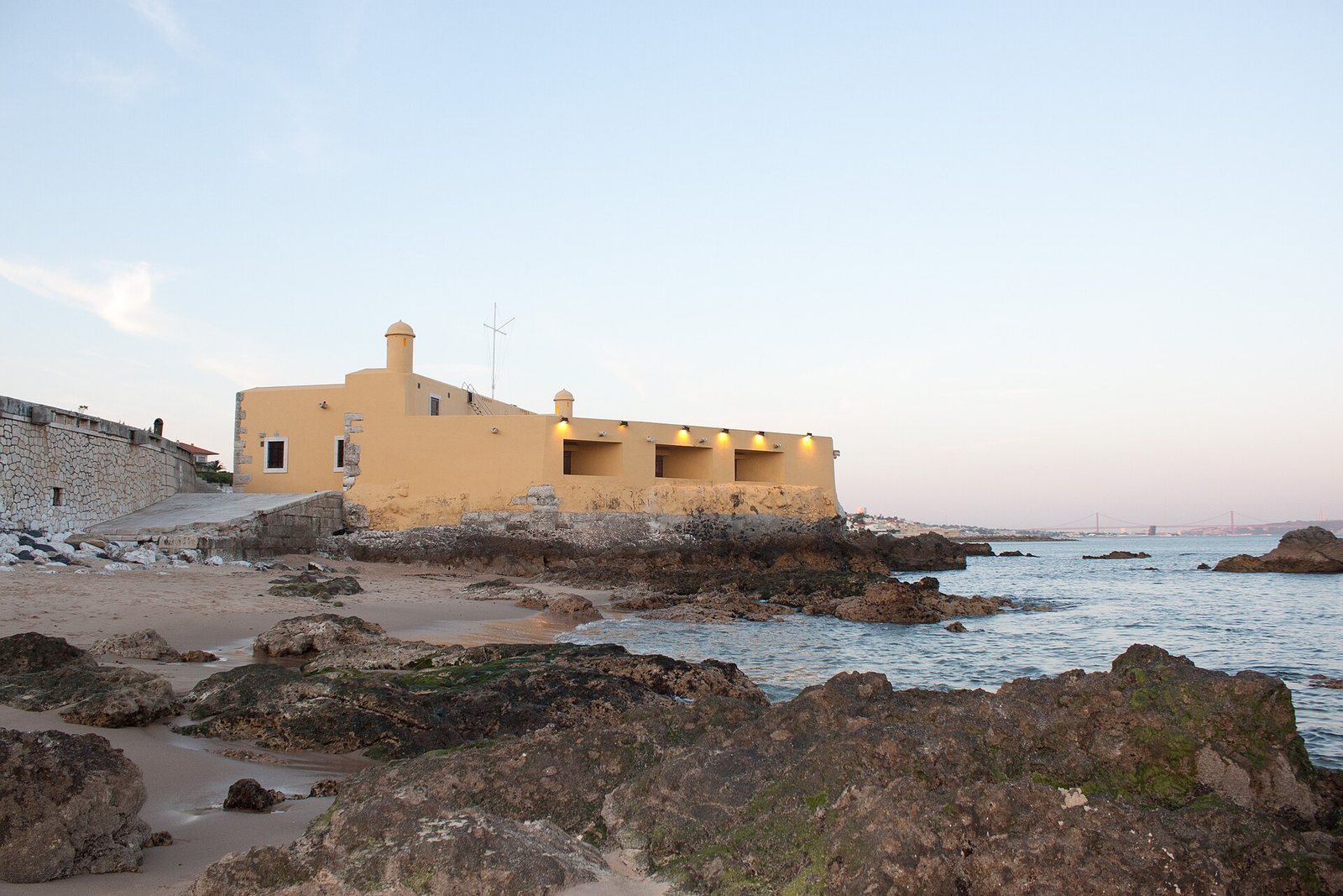
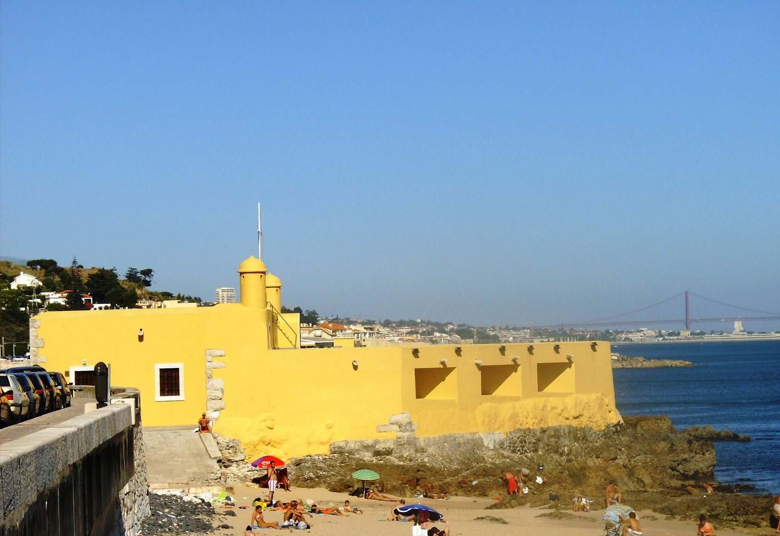
The small, well-preserved fort stands on a rocky outcrop projecting into the Tagus estuary, on its right bank. Its compact, pentagonal Mannerist plan is topped by a roof terrace. The Marginal highway passes within a few metres.
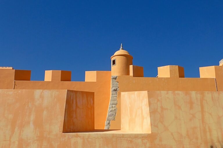
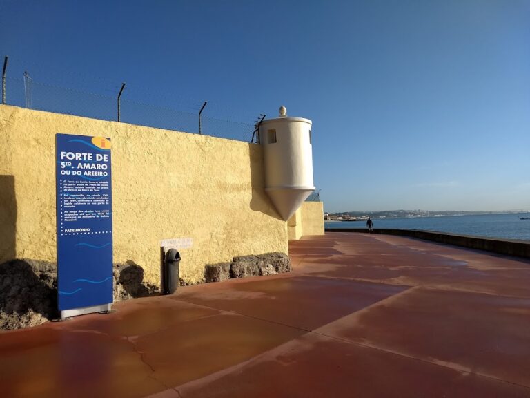
Two circular bartizans, small projecting turrets, form part of the structure. Six openings in the walls served as gun positions, while an inscription at the entrance records the fort’s completion in 1649.