Fort Charles in Nevis: A Colonial Fort Defending Charlestown and Its Harbour
Site at a Glance
- Popularity
- Medium
- Country
- Saint Kitts and Nevis
- Primary era
- Early Modern
- Eras represented
- Early Modern
- Civilizations
- English
- Site type
- Military
- Remains
- Fort
On this page9 sections
History
Early fort and mid-seventeenth-century attacks
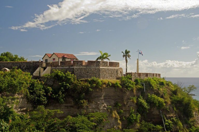
Fort Charles in Nevis was an English colonial stronghold in Saint Kitts and Nevis, built to protect Charlestown, its harbour, and the island’s sugar trade. Work began in the early seventeenth century. It was Nevis’s first fortification and among the earliest forts in the Leeward Islands. At one point, the island’s sugar trade brought Britain more profit than all its North American colonies combined.
The first fort was modest and mounted 26 cannon. It could not withstand a Spanish assault by 36 galleons under Admiral de Toledo, who captured Nevis and destroyed the colony. In 1652, Prince Rupert, a Stuart prince and military commander, led a squadron that invaded the island and seized two ships. The fort later exchanged fire with Dutch Admiral Michiel de Ruyter’s fleet during a 1666 raid in which the Dutch captured 16 Nevisian ships. The following year, cannon from the fort supported 10 English ships in a six-hour battle off Nevis’s west coast against 19 French and Dutch vessels.
Rebuilding and further assaults
Governor Charles Wheeler considered the original fort too small to defend the island. It was demolished and rebuilt as Fort Charles, named for King Charles II. Charlestown also bears the king’s name. The rebuilt fort mounted 26 large cannon. In 1673, its guns drove away 15 Dutch ships led by Admiral Cornelis Evertsen.
In 1679, the fort exchanged fire with a French merchant ship that had not lowered its flag as protocol required. The vessel returned fire and brought down the fort’s flagstaff, leading the English to lodge a diplomatic protest with France. In 1700, French Admiral Henri de Raymond de Modène fired on the fort and Charlestown, causing deaths and extensive damage before withdrawing.
French forces attacked Nevis twice in 1706. The first assault was repelled, but the second, led by Pierre Le Moyne d’Iberville, succeeded. About 3,000 French soldiers landed and captured the fort, approaching from the landward side. They devastated the island and captured or destroyed the fort’s cannon. Many other guns on Nevis were disabled before the French departure, and rearming took years.
Later military use and abandonment
In 1756, the fort exchanged fire with the French frigate Galatée after it failed to lower its flag. In February 1782, a French fleet of 50 ships under Admiral François Joseph Paul de Grasse sailed within cannon range. The fort held its fire because its old guns could not match the fleet. De Grasse sent a 74-gun ship from Saint Kitts to demand Nevis’s surrender, which was quickly granted on generous terms. This enabled the French to besiege Brimstone Hill on Saint Kitts.
A French garrison of six men under a lieutenant occupied the fort until 1783. Usable guns were taken away for use against British forces on Saint Kitts. The Treaty of Paris returned Nevis and Saint Kitts to British rule. French forces led by Jérôme Bonaparte, Napoleon Bonaparte’s brother, attacked Nevis in 1805 and 1806 but were repulsed. These were the last occasions when the fort’s cannon fired. Nevis’s forts had been abandoned by 1854.
Remains
Surviving fortifications
Plan and defenses
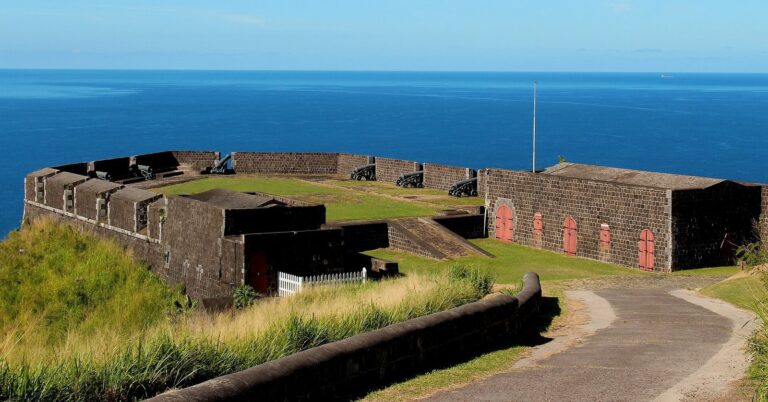
The fort has a rectangular plan and covers several square kilometres. Merlons, raised sections of a defensive parapet, stood at its four corners. A redan, a projecting defense formed by two angled faces, was added after the 1706 capture to guard the landward entrance against a direct attack.
Walls and interior
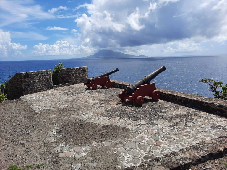
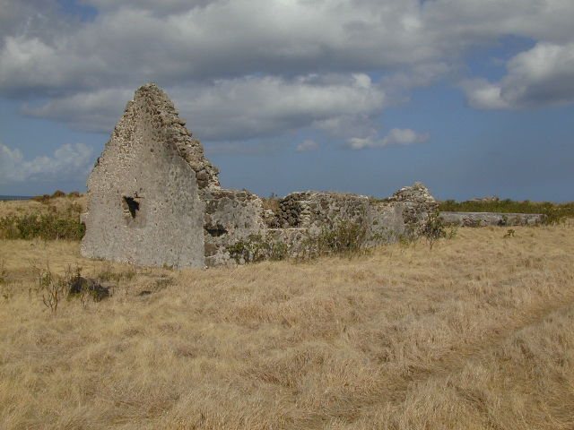
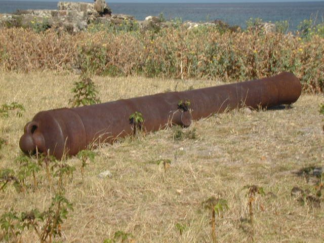
Cliff erosion has brought down much of the sea-facing wall, and erosion continues at about one metre a year. The overgrown interior includes an old wall, a powder magazine, a chamber for storing gunpowder, several cannon, and cisterns. The interior, surviving walls, and cisterns remain intact, although the stonework is deteriorating. Cannon formerly positioned along the seaward edge have been moved into safekeeping. Conservation has not been undertaken because resources are lacking.
The 1679 plan
A detailed plan of Fort Charles, drawn in 1679 and held at the Museum of Nevis History, shows the original walls’ locations and dimensions. It also marks the positions of several structures within the fort.