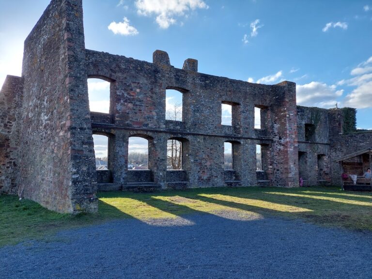
Entersburg: A High-Medieval Spur Castle in Germany
Site at a Glance
- Rating
- 4.5
- Popularity
- Very Low
- Country
- Germany
- Primary era
- Medieval
- Eras represented
- Iron Age, Classical, Medieval, Modern
- Civilizations
- Celtic, German, Roman
- Site type
- Military
- Remains
- Castle
On this page15 sections
History
Entersburg is a former high-medieval spur castle near Hontheim in Germany, built before 1096, probably toward the end of the eleventh century by the Lords of Nantersburg or Nantirsburg. A spur castle used a projecting ridge and its steep slopes as part of its defenses. Heinrich Beyer classified this family as Imperial ministerials, dependent retainers who served rulers or major lords in administrative or military roles. The medieval castle occupied a site that had already been fortified during the Iron Age and the Roman period.
Earlier Fortifications
The ridge first held a Celtic enclosure from the later La Tène period, the later Iron Age period conventionally dated here from the third to the first century BC. Its defenses enclosed about 1.3 hectares and used wood, stone, and earth. Excavations found sections of its perimeter wall on the northern, eastern, and southern sides. Pottery, metal objects, and Celtic coins, including cast copper-alloy potin coins of the Treveri, a Celtic people associated with the Moselle region, show the importance of this earlier occupation.
A Roman fortification was established on the highest part of the ridge during the second half of the third century AD. Its enclosure was smaller than the Celtic one, and its slate-rubble walls were 1.20 metres thick. No earlier than the second quarter of the fourth century, a burgus, a small late Roman fortified installation used for defense and surveillance, was added at the northwestern tip. Its foundation walls exceeded two metres in thickness. The installation probably strengthened the position and helped control the Roman road from Trier to Andernach, which passed about 600 metres northwest of the watchtower. Roman coins indicate that this fortification was abandoned in the middle of the fourth century. Two bronze sculptures, a winged Amor and a bust of Minerva, were also found at Entersburg.
The Medieval Castle
Dendrochronology, which dates wood by matching its annual growth rings with established sequences, places the construction of the medieval castle before 1096. The site was known by several forms of its name, including Nantersburg, Nantersburch, and Nantirsburg. In 1136, during Emperor Lothar III’s second Italian campaign, the brothers Werner and Johann of Nantersburg seized nearby Castle Arras, an archiepiscopal stronghold. They acted at the prompting of Count Palatine Otto I of Salm. After returning from the campaign, Albero of Montreuil, Archbishop of Trier from 1131 to 1152, expelled the brothers from Arras. Nantersburg was destroyed in 1138.
Whether the castle was rebuilt remains unknown. A purchase deed from 1335 nevertheless names Entersburg with Hontheim, probably Krinkhof, and Wispelt in a transaction between Balduin, Elector of Trier, and the knight Cuno of Ulmen. Medieval coins, pottery, and other objects recovered from the castle area provide evidence of activity during this phase. Later archaeological work began with excavations in the 1850s, which revealed traces of burning and Roman coins. The findings were summarized in 1865, while Karl-Josef Gilles published numerous small finds in 1974. After extensive looting excavations, the Rheinisches Landesmuseum Trier carried out major excavations under Gilles in 1978 and 1979. Entersburg is now recorded as a former castle site with slight surviving remains.
Modern Landmark
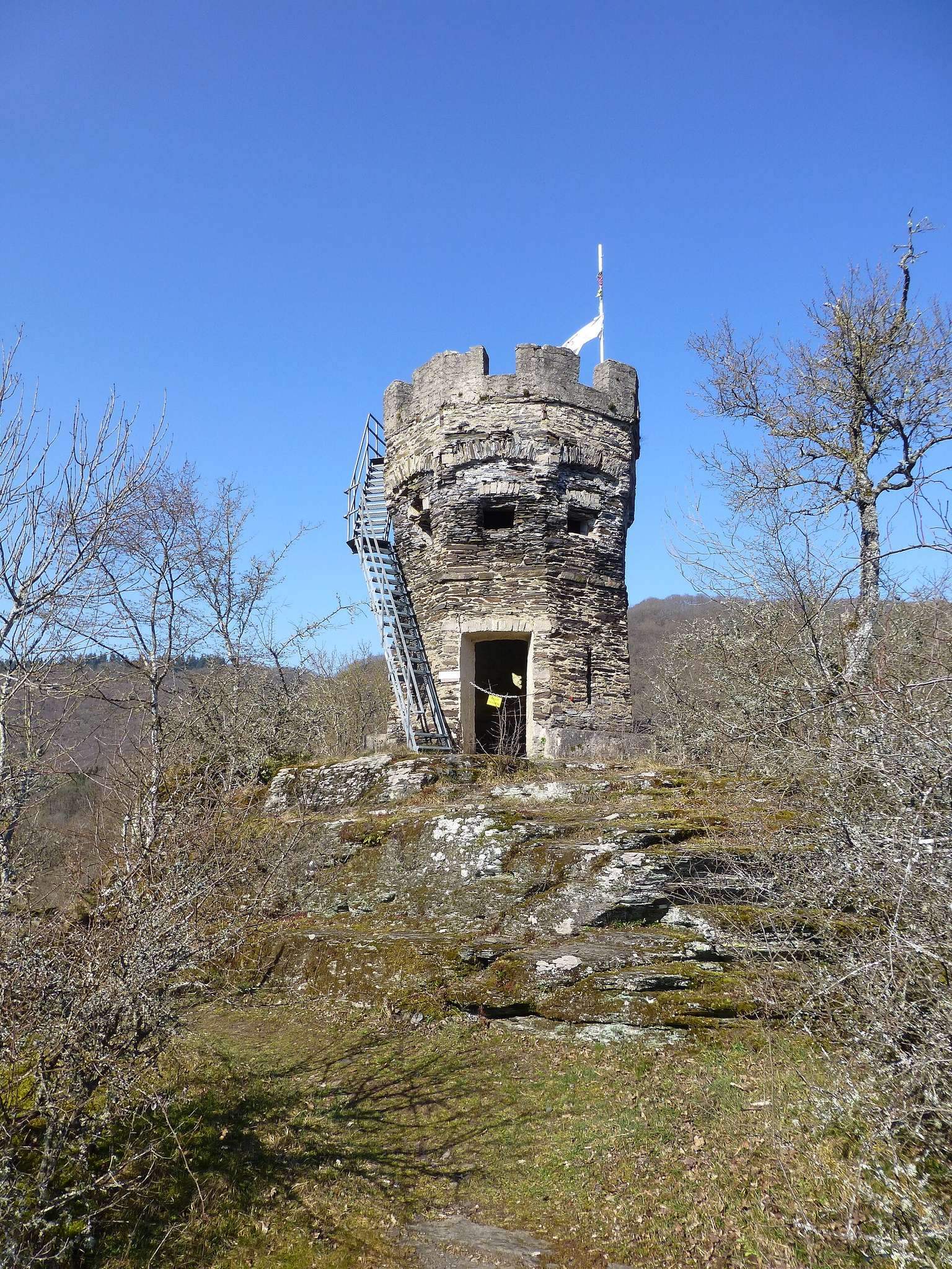
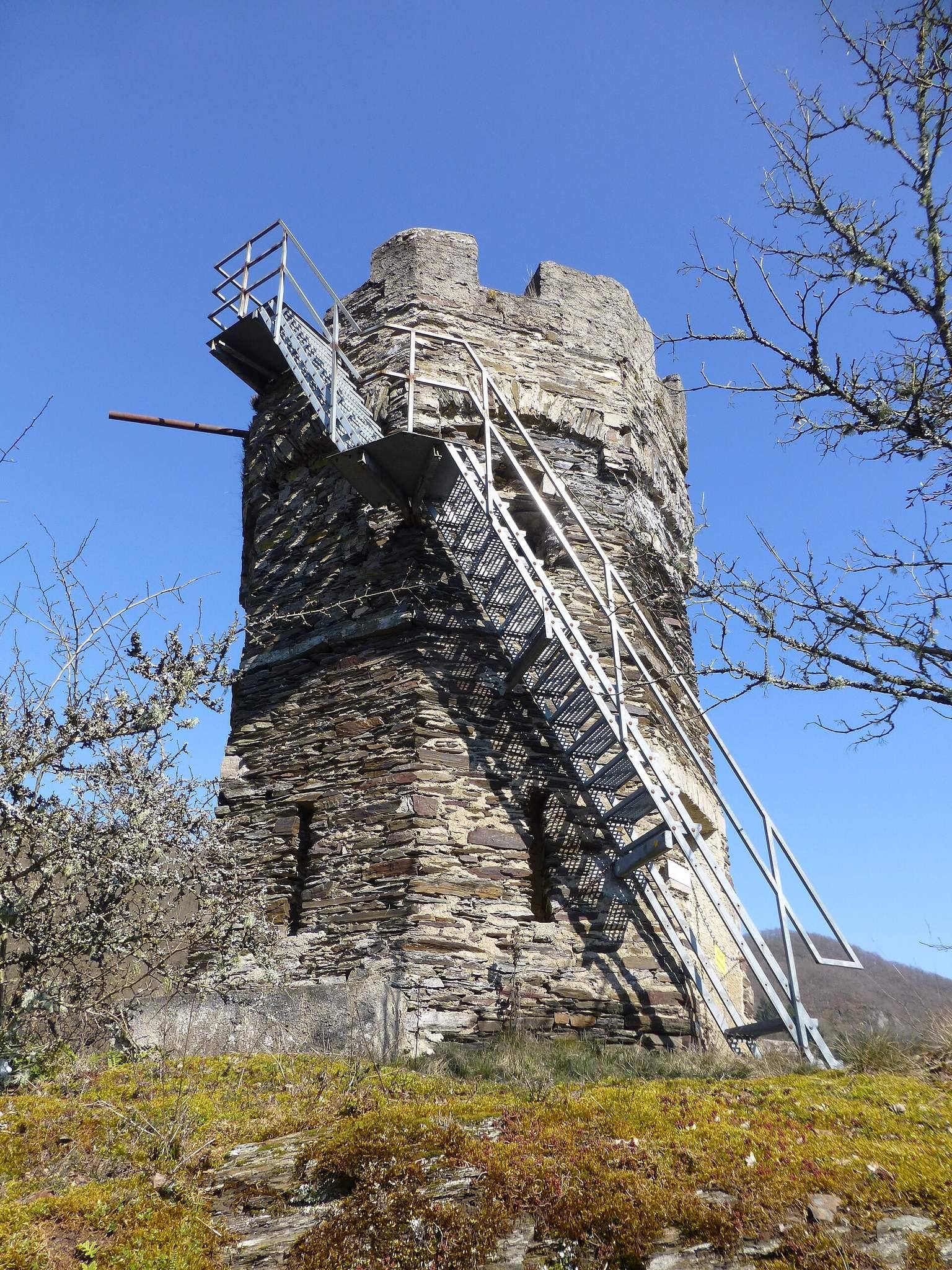
The Steffenswarte, a stone observation tower, was built in 1895 on the former castle site. Its construction placed a later landmark on the small summit plateau south of the medieval residential building.
Remains
Ridge Setting and Defenses
Entersburg occupied a multi-level rocky ridge above the lower Üßbach Valley in the Moselle Eifel. The plateau reached about 262.2 metres above sea level, extended for roughly 250 metres, and measured up to 130 metres across. Slopes descending about 60 metres protected the western, northern, and eastern sides. The narrow, elongated ridge and a deep ditch across the vulnerable approach formed the main defensive arrangement of the medieval site.
Iron Age and Roman Structures
Celtic Enclosure
The earliest known defenses were formed by a perimeter enclosure of wood, stone, and earth covering about 1.3 hectares. Sections of its pre-Roman wall survive in excavation trenches along the northern, eastern, and southern edges of the plateau. La Tène pottery, metalwork, and Treveri potin coins connect the enclosure with Celtic occupation between the third and first centuries BC.
Roman Fortification
The Roman installation occupied the highest part of the plateau and had slate-rubble walls 1.20 metres thick. It enclosed a smaller area than the earlier Celtic fortification. Finds from the site include a bronze winged Amor, the Roman god of love, and a bronze bust of Minerva, a goddess associated with wisdom, warfare, and crafts.
Roman Burgus
At the northwestern end of the plateau stood a roughly 10-by-10-metre burgus, added no earlier than the second quarter of the fourth century AD. Its foundation walls were more than two metres thick. The compact structure formed an additional defensive position and was associated with surveillance of the Roman road between Trier and Andernach.
Medieval Castle Structures
Perimeter Wall
Excavations exposed the remains of a medieval perimeter wall enclosing the castle area. The surviving evidence forms part of the defensive system on the ridge, alongside the steep natural slopes and the ditch at the approach.
Palas
The foundations of the palas, the principal residential or representative building of a medieval castle, formed an angled two-part space about 30 metres long and 10 metres wide. Its walls measured between 1.10 and 1.50 metres thick and were built from dressed slate blocks. Roman building material, or spolia, was reused in the construction. Two entrances opened on the southern side, and the excavated remains provide no identified keep.
Rock-Cut Ditches
Two short section ditches were cut into the rock northwest of the medieval castle and outside the Roman fortification wall. The inner ditch had a U-shaped profile and reached 1.50 metres in depth. The date of both ditches remains uncertain.
Steffenswarte
The Steffenswarte is a stone observation tower built in 1895 on the small oval summit plateau south of the medieval palas. It occupies part of the former castle site and represents the principal later structure described among the surviving remains.