Léotoing Castle: A Medieval Fortification in France
Site at a Glance
- Popularity
- Medium
- Country
- France
- Primary era
- Medieval
- Eras represented
- Medieval
- Civilizations
- French
- Site type
- Military
- Remains
- Castle
On this page8 sections
History
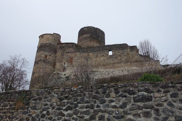
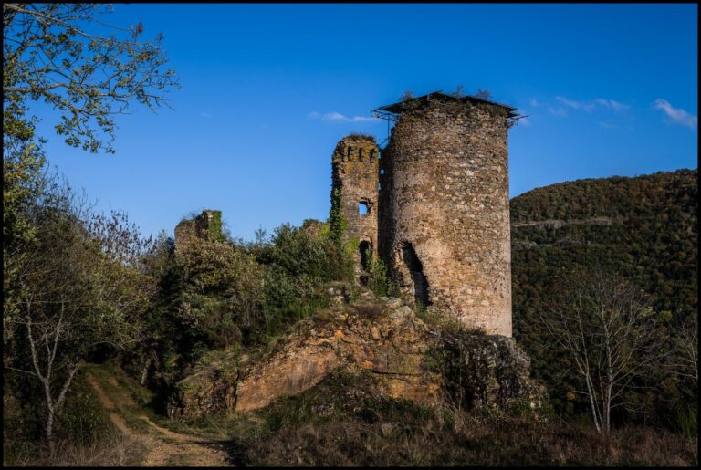
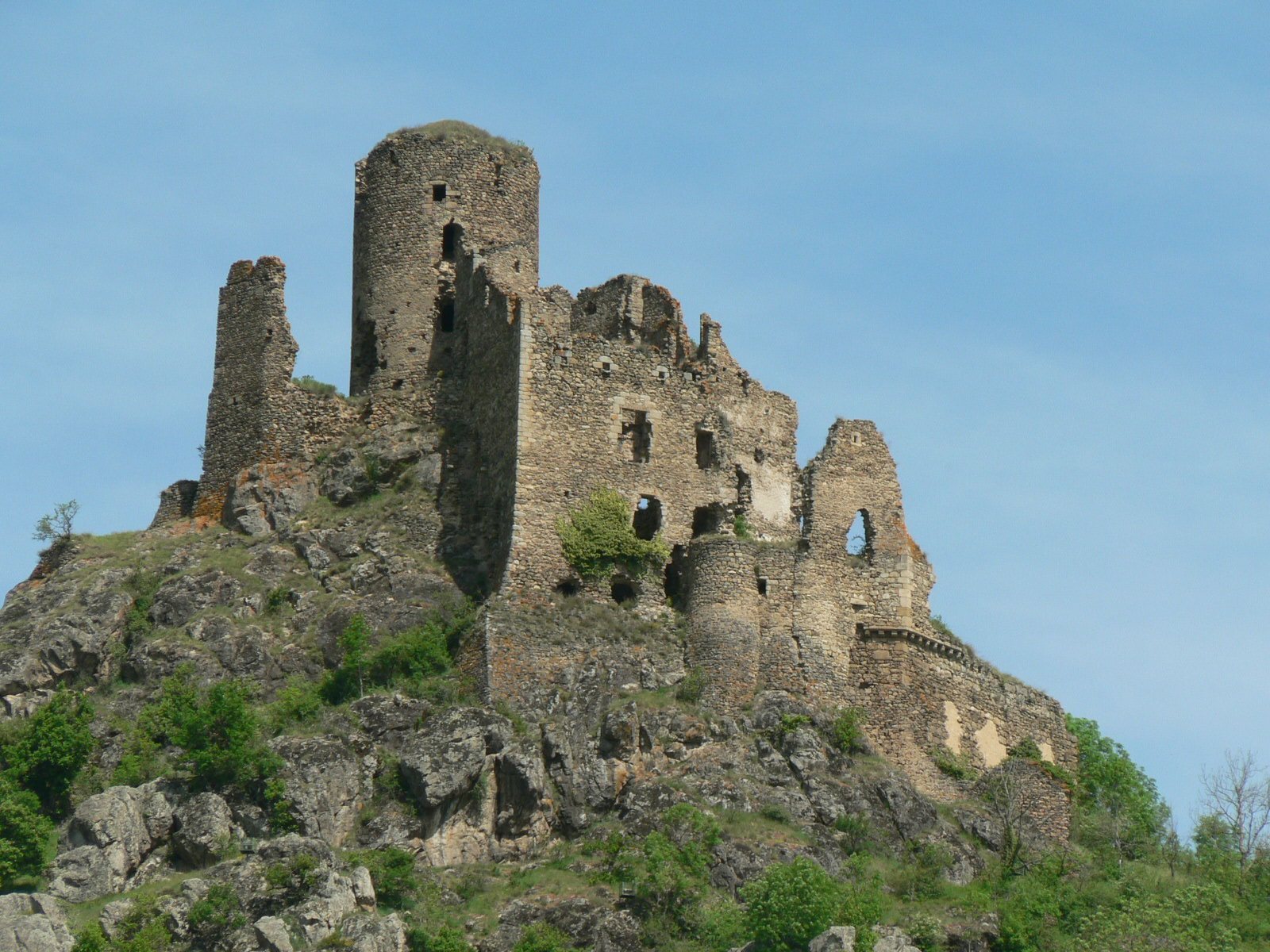
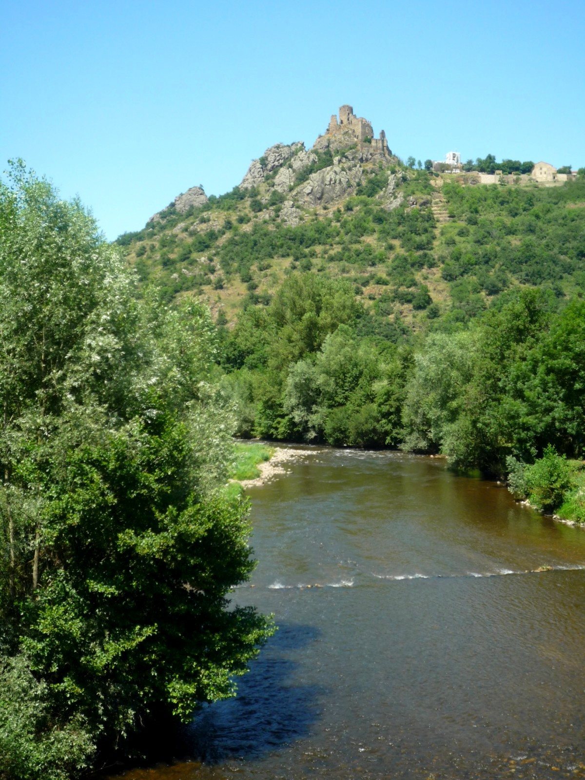
Léotoing Castle is a medieval fortification in France, set above the Allagnon valley. Its fortified site was established around 1060, and its name and lordship originated with a junior branch of the Mercœur family.
The early lordship
From the late 11th century, Anthoine de Lauthon, his brothers and their heirs asserted authority over neighboring fiefs, lands or rights held under feudal obligations. Around 1420, the lordship was divided. Junior family members settled at Montgon, which became the principal fief of the Léotoing-Montgon branch.
Rule of the Dauphins of Auvergne
The Dauphins of Auvergne, a medieval noble lineage, rebuilt the castle around 1261. In 1264, local inhabitants received a charter granting liberties and privileges in return for military service and supplies for the Dauphins and their retinues. After disputes within the ruling family of Auvergne, a royal judgment placed Léotoing among the lands granted to Robert Dauphin, count of Clermont. He left it to his son Hugues in the early 14th century.
The castle was enlarged and strengthened during the 14th century. Around 1365, another Robert Dauphin reinforced its defenses against attack. This was during the Hundred Years’ War, the prolonged conflict between the English and French crowns conventionally dated from 1337 to 1453; mercenary companies were occupying Brioude at the time.
Later lords and decline
A final campaign of residential alterations in the 15th century gave the castle its definitive form. Béraud III, the last male representative of the Dauphin line, married his only daughter to Louis de Bourbon, count of Montpensier. The lordship later passed from the Montpensier family, whose members became first counts and then dukes, to the dukes of Orléans.
The castle fell into neglect from the 16th century and became ruinous. During the French Revolution it was sold as national property, and villagers reused it as a quarry. It was listed as a French historic monument on 7 July 1992.
Remains
Fortified layout
The fortification occupied two levels, with an early mound near the cemetery and a strongpoint on a neighboring rocky summit. A walled lower enclosure formed part of the wider layout and later gave rise to the village and its parish church.
Early mound
The castle’s earliest form stood on a raised mound, or motte, surrounded by a ditch. This earthwork lay approximately at the site’s lowest point, near the cemetery. The original mound was later leveled.
Rocky summit and lower enclosure
A main tower, or keep, and associated buildings occupied a nearby rocky pinnacle whose summit was terraced. The lower bailey, an enclosed yard within a fortification, was formerly walled; its site developed into the village and parish church.