Château de Châtellenot: A Fortified Château in France


Site at a Glance
- Rating
- 4.3
- Popularity
- Very Low
- Country
- France
- Primary era
- Medieval
- Eras represented
- Medieval, Modern
- Civilizations
- French
- Site type
- Domestic
- Remains
- Castle
On this page9 sections
History
Château de Châtellenot is a fortified château in France, built on the site of an earlier Roman camp and generally dated to about 1100. A fortification was mentioned there around 1090. The earliest surviving fortified sections, together with the nearby church’s semicircular apse covered by a quarter-sphere vault, date from the twelfth or thirteenth century. By 1196, the château was ducal property.
Medieval lords and feudal tenure
The archives of Sainte-Marguerite Abbey mention Milo de Castellulo in 1140. In 1229, Guillaume de Chastellenot chose La Bussière Abbey as his burial place beside his father, Guy de Chastellenot. The château later passed to Étienne de Mont-Saint-Jean, lord of Salmaise, who sold it to his sister-in-law Marguerite of Burgundy after she had remarried the Viscount of Limoges. Guillaume held the fief in liege tenure, a feudal holding requiring loyalty and service to a superior lord, in 1266, and bought it back for 400 pounds.
Béatrice de Vaucelle was lady of Châtellenot in 1314. Three years later, Béatrice, the widow of Guillaume de Châtellenot, acknowledged that Étienne de Mont-Saint-Jean could repossess the château whenever he wished. In 1365, Guillaume de Remirey held it from Girard de la Tour, lord of Montbelet and Mont-Saint-Jean, together with high, middle, and low jurisdiction.
War and strengthened defenses
During the Hundred Years’ War, the prolonged conflicts between the English and French crowns from the fourteenth into the fifteenth century, Châtellenot received major additional defenses. Ditches, trenches, and a tall donjon, the principal fortified tower of a medieval château, were added or strengthened. Only traces of these works survive.
The château also had a military connection beyond its walls. In 1384, the squire Jehan de Chasteullonnet of Châtellenot served in a company of 24 squires and four knights during the campaign in Scotland. The company served alongside the Count of Montagu, lord of Marcilly, under Jean de Vienne, Admiral of France.
Demolition, rebuilding, and later ownership
By 1770, the drawbridge was still functioning, while the oldest donjon was being laboriously demolished. Some of its rubble was used to fill the rock-cut dry moat. The château was rebuilt in a more modern style under the lordly family of La Loge and later the Le Belin de Châtellenot family. Further changes followed under the Gerin family.
The removal of the old donjon, which had been attacked many times, exposed archaeological remains that included almost complete skeletons in tombs, crossbow bolts, charcoal, and burned grain. The French Revolution, which began in 1789 and brought major political and social upheaval, damaged or destroyed the donjon and other notable architectural elements. Part of the château was subsequently used as a quarry for the village and cemetery.
Jacques Gérin, an engineer and inventor associated with automobile and aeronautical technology, occupied the château from 1959 to 1982. He sold the ruined property in 1982 and died the following year at the age of 85. A family then acquired the château and began restoration. Emergency work renewed 60 percent of the roofs, rebuilt the collapsed northern rampart by hand, and sealed the underground confinement chambers known as oubliettes because they were considered too dangerous. The château remains privately owned and is used as a residence.
Remains
Fortifications and entrance
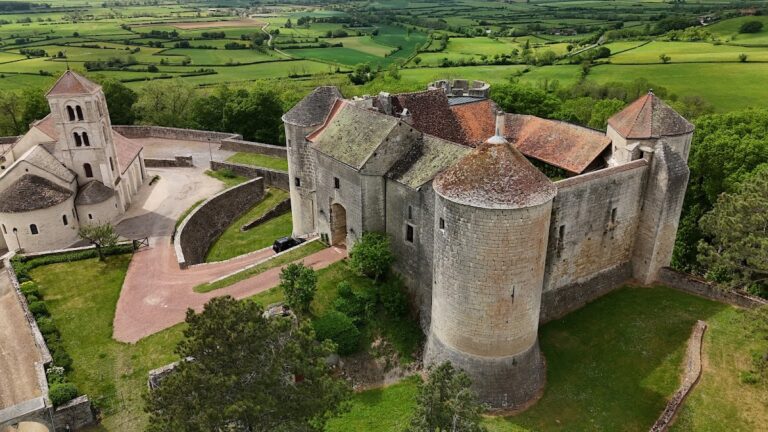
The château occupies a rocky spur at the summit of Châtellenot, about 600 metres above sea level and on a watershed. The complex measures approximately 55 metres from north to south and 35 metres from east to west, overlooking the Burgundy Canal valley. A dry moat cut into the rock surrounds the building. It was partly filled during the French Revolution, and its remaining traces are visible around the château.
Entrance tower and drawbridge
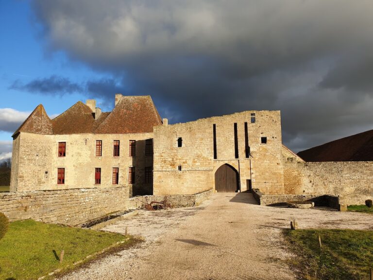
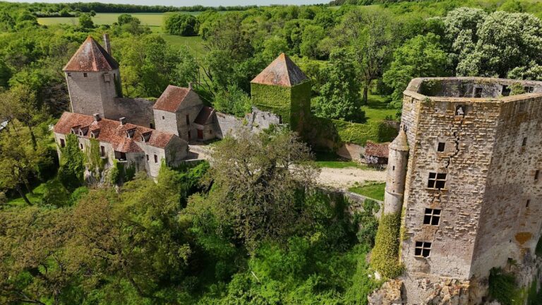
The fortified entrance and drawbridge formed the earliest principal defensive arrangement. The main tower preserves substantial remains of the drawbridge and an arrow slit with two stirrup-shaped enlargements. The tower originally had at least one additional level and appears to have been lowered by several storeys. Its roof has no finial, cornice, or band.
Dovecote
The upper part of the fourteenth-century entrance tower contains a notable dovecote, a room fitted with nesting holes for pigeons. Access to its two upper levels now runs through the attic of the adjoining building, followed by a carpenter’s ladder to a trapdoor at the tower’s third level. The passage beneath the tower is five metres long. Two flight openings face south and east. The nesting holes in the southeastern corner are made of flat stone and are very old, while the others are made of pottery. Part of the northern wall contains a chimney flue, and pigeons share the space with barn owls.
Later buildings and grounds
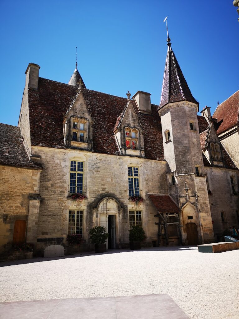
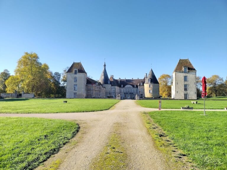
The major central donjon, probably added during the fourteenth or fifteenth century and once positioned at the centre of the principal building, no longer survives. The complex nevertheless retains later layers, including an extension from the period of Napoleon III, emperor of the French from 1852 to 1870 during the Second French Empire. Remnants of a formal French garden include a pergola, and a well cut into the rock reaches nearly 60 metres deep.
A statue of the Virgin Mary was moved from the fields below to the château esplanade, probably in the early nineteenth century, to protect it. The terraces overlook the Auxois valley and the surrounding landscape. From them, the view faces Châteauneuf-en-Auxois about 15 kilometres away, extends east toward the valleys of Bussière-sur-Ouche, north toward the Sombernon reliefs, west toward the Morvan and Saulieu, and south toward the Pays d’Arnay. The château is visible from a great distance, and its position on a residual hill made it a visual orientation point for aircraft and hot-air balloons. The route of the Burgundy Canal was decided from the château’s terraces.
Nearby sites