Chapora Fort: A Portuguese Frontier Fort in Goa
Site at a Glance
- Popularity
- Very High
- Country
- India
- Primary era
- Early Modern
- Eras represented
- Early Modern
- Civilizations
- Portuguese
- Site type
- Military
- Remains
- Fort
On this page6 sections
History
Chapora Fort is a Portuguese fortification above the Chapora River in Goa, India, rebuilt in its present form in 1717 over older defences. Its position made it part of the region’s northern military frontier.
Early fortification and contested control
A fortification stood here before the Portuguese arrived in Goa in 1510. Adil Shah, ruler of the Adil Shahi Sultanate of Bijapur in the Deccan, built a fort called Shahpoora. The Malvankars, associated with the naval force of the Maratha ruler Shivaji and living in nearby villages, changed its name to Shapora at the Portuguese request.
After the Portuguese acquired Bardez, the fort passed between different powers. In 1683, Mughal prince Akbar joined the Marathas, a regional power in western India, in opposition to his father, Emperor Aurangzeb, and in an effort to end Portuguese rule in Goa. Chapora became a Maratha base and lay at the northern edge of the Portuguese Old Conquests, territories acquired in an earlier phase. Following an encounter with Maratha forces, the Portuguese strengthened their northern defences and provided shelter for local people.
Portuguese reconstruction and abandonment
The Maharaja of Sawantwadi, a Hindu ruler of Pernem, held the fort for two years. The Portuguese returned in 1717, carried out extensive repairs, and built the fort that survives today in place of the earlier defences. The Bhonsle, a Maratha ruling family, captured it in 1739. The Portuguese regained control in 1741, when the northern taluka, or administrative subdivision, of Pernem was transferred to them.
After Pernem became part of the Portuguese New Conquests, territories acquired in a later phase, Goa’s border moved north and the fort’s military importance declined toward the end of the century. Chapora Fort was abandoned in 1892.
Remains
Fortifications and setting
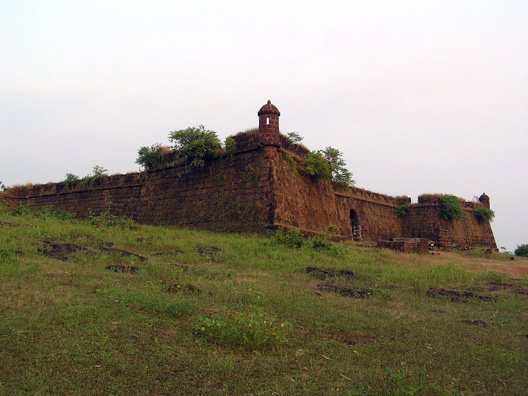
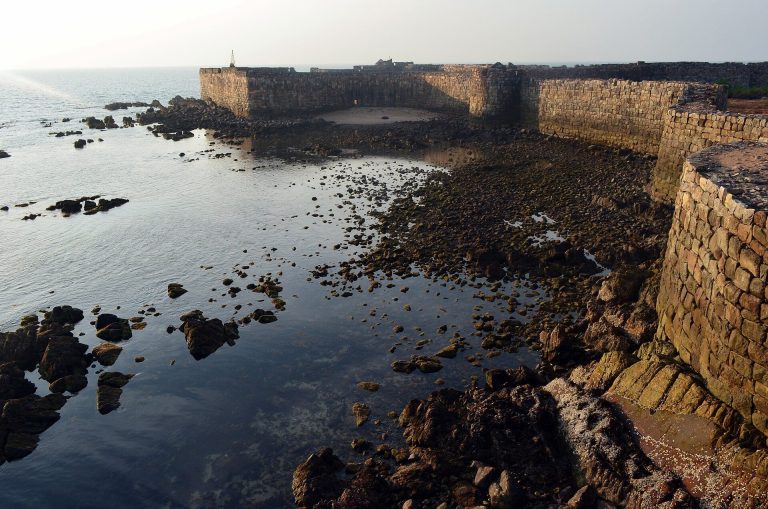
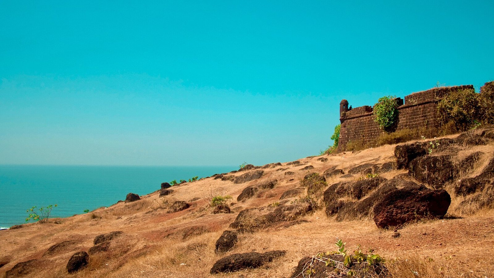
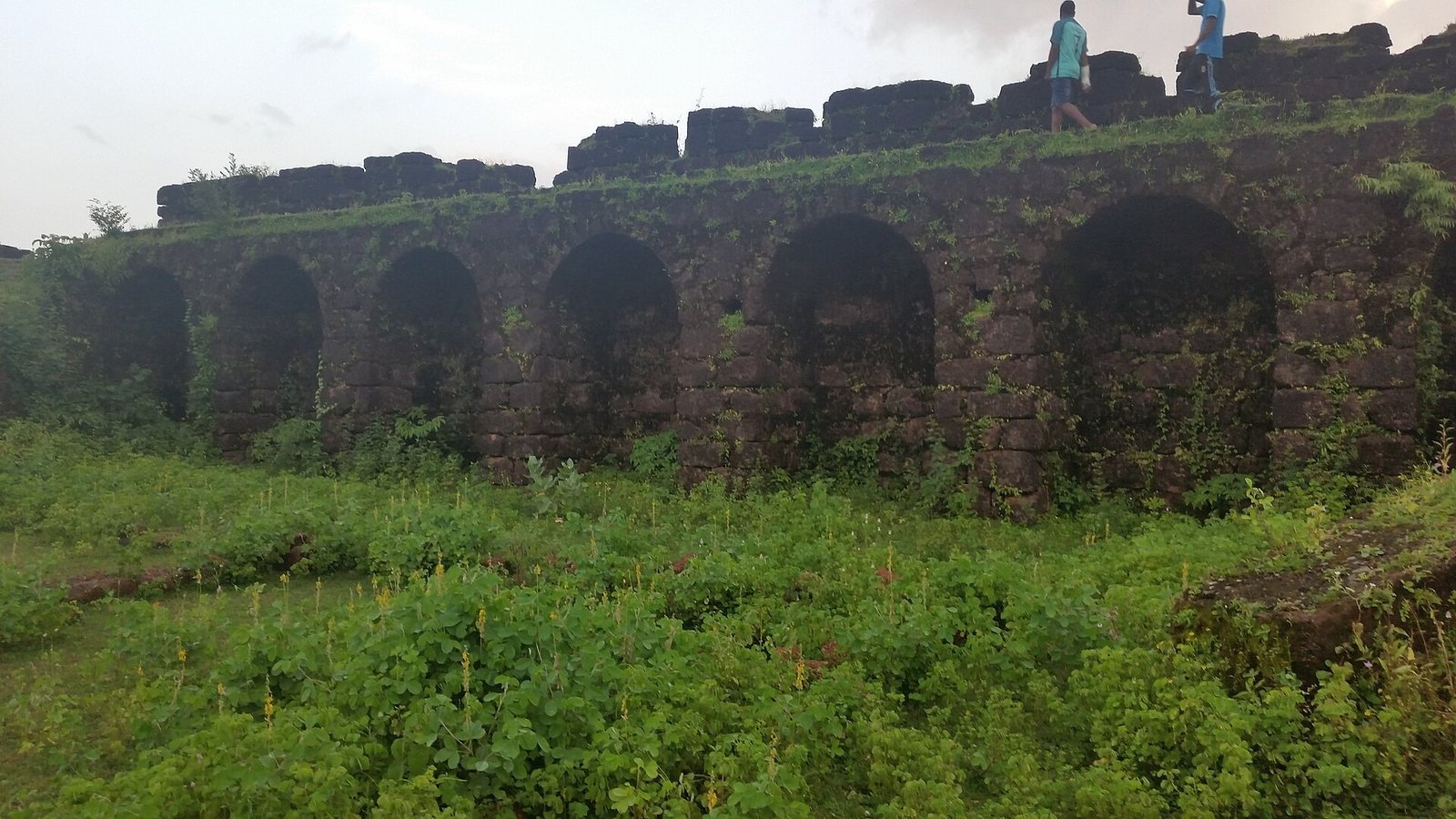
The fort stands on a high point above the Chapora River, with steep slopes on every side. Its irregular outer wall follows the higher ground, using the natural terrain to increase the defensive height rather than relying on dry ditches. Views extend north across the river toward Morjim and Pernem, south toward Vagator, and west toward the Arabian Sea.
Bastions, projecting sections of the fort wall, are spaced irregularly around the defences. Large embrasures, openings for firing cannons, pierce them, and each bastion has a cylindrical turret, a small tower-like structure.
Routes and interior remains
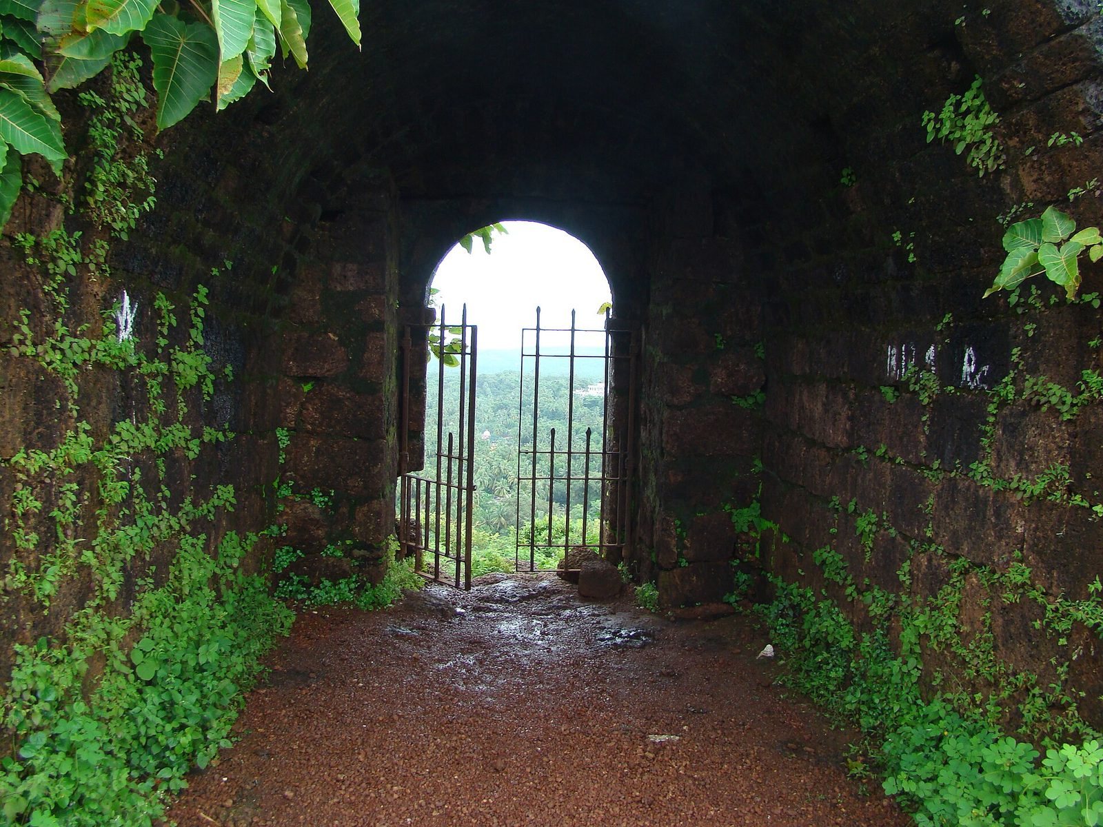
A tunnel added during the Portuguese repairs extended toward the seashore and the banks of the Chapora River for emergency use. A natural valley, protected by rocky promontories, also leads toward the beach and provides access to the sea.
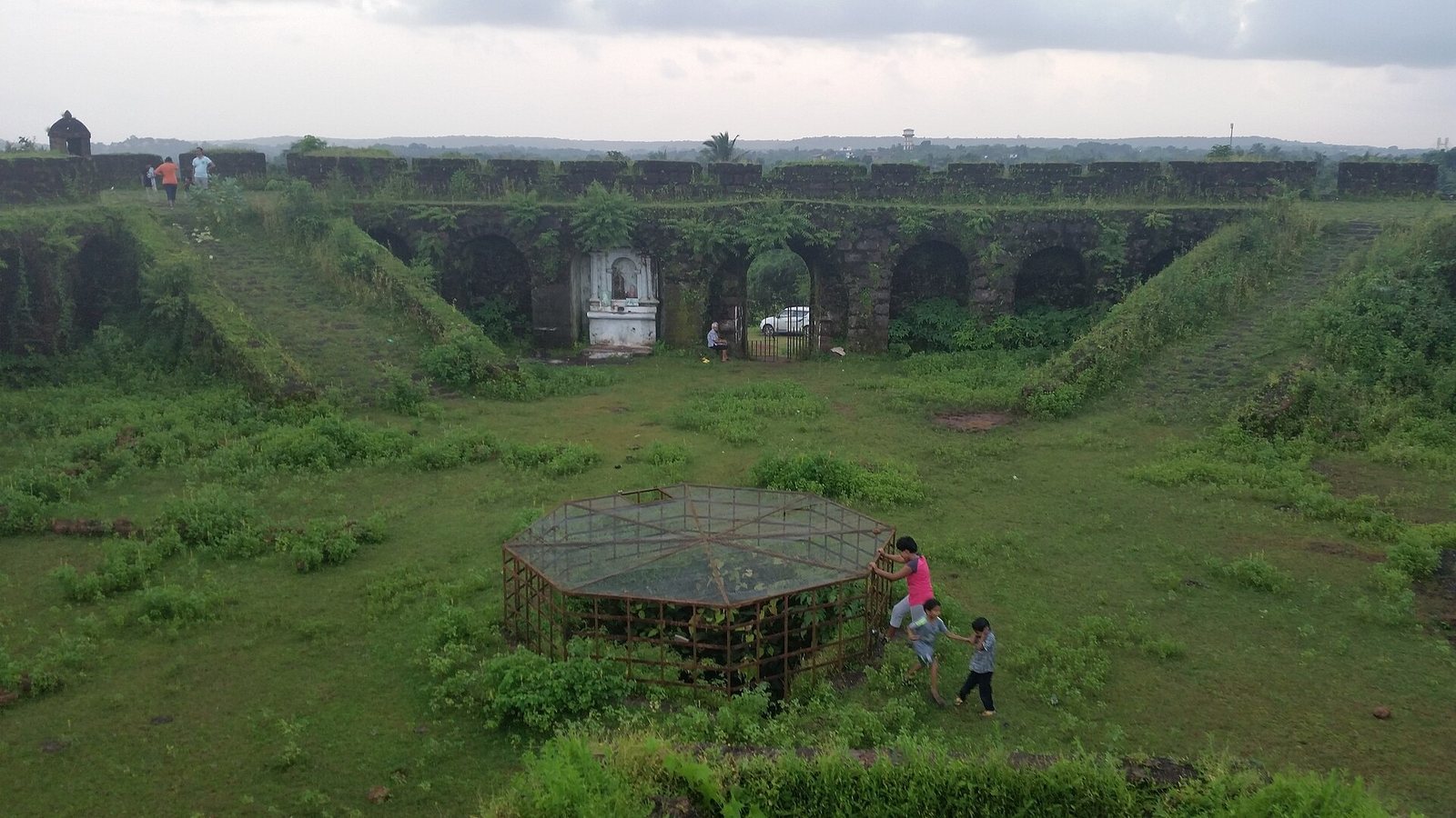
The interior is a broad open area scattered with stones and cashew bushes. A few traces remain of the barracks and housing that once occupied the fort.