Sindhudurg Fort: A Maratha Sea Fort in India
Site at a Glance
- Rating
- 4.5
- Popularity
- High
- Country
- India
- Primary era
- Early Modern
- Eras represented
- Early Modern
- Civilizations
- Unclassified
- Site type
- Military
- Remains
- Fort
On this page6 sections
History
Maratha foundation
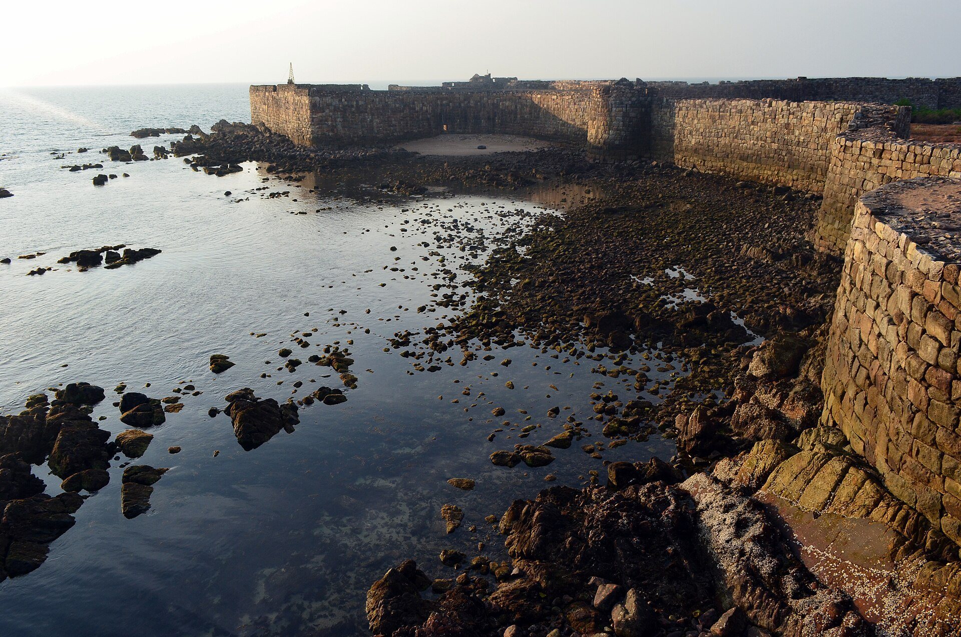
Sindhudurg Fort is a Maratha sea fort on Khurte Island near Malvan, India, built between 1664 and 1667 under Chhatrapati Shivaji, the founder and first major ruler of the Maratha Empire. Its position in the Arabian Sea, close to the Konkan coast of Maharashtra, gave it a defensive role against foreign merchants and regional maritime rivals.
Shivaji commissioned the fort to counter the growing influence of English, Dutch, French, and Portuguese merchants along the Konkan coast, while also curbing the rise of the Siddhis of Murud-Janjira. The foundation stone was laid on 25 November 1664. Construction was supervised by Hiroji Indulkar, with assistance from Portuguese engineers from Goa, and Shivaji brought 200 Vaddera workers to carry out the building work.
Colonial occupation and decline
British forces briefly captured the fort in 1765 and renamed it Fort Augustus. In 1818, they dismantled its defensive structures, altering the military character of the site. Sindhudurg later ceased to function as a permanently occupied settlement, and its resident population declined. Limited employment opportunities led most inhabitants to leave, although some families remained.
Today, Sindhudurg Fort is protected by the Archaeological Survey of India. It was placed on UNESCO’s tentative list in 2021 and inscribed in 2025 as part of the serial World Heritage property Maratha Military Landscapes of India, a group of fortifications distributed across varied geographical settings that represents the military power of Maratha rule. The designated site covers 19.55 hectares, with a buffer zone of 1,671.15 hectares.
Remains
Island fortifications
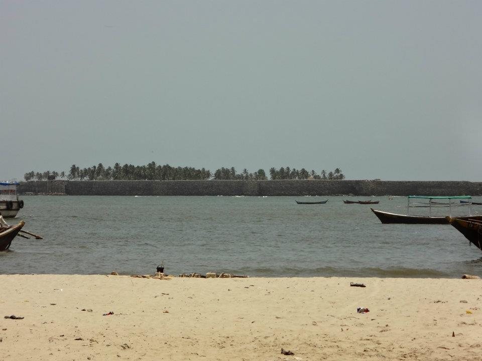
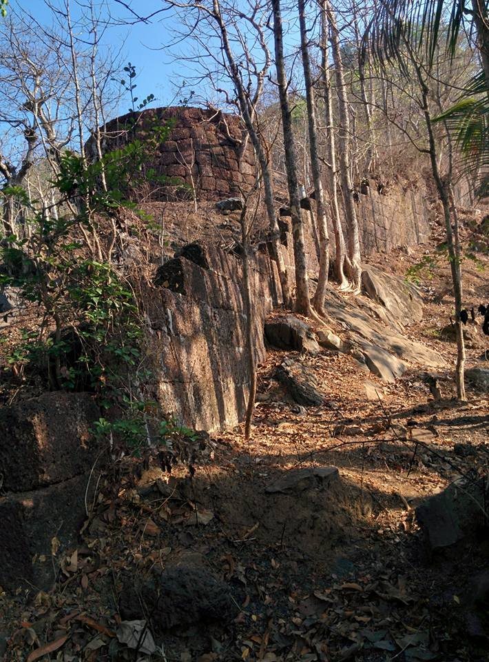
The fort occupies an island about 1 kilometre from the mainland, off Malvan in Sindhudurg District. Its sea-facing enclosure covers approximately 19.42 hectares. A rampart about 3 to 4 kilometres long surrounds the fort and incorporates 42 bastions, which are projecting defensive structures built into a fortification wall to allow observation and fire along the wall and toward attackers.
The walls rise approximately 9.1 metres and are about 3.7 metres thick. Their construction was intended both to deter enemies approaching the island and to withstand the waves and tides of the Arabian Sea. More than 40,000 pounds of lead were used to cast and secure the foundations, fixing the stones with molten lead. About 72,000 kilograms of iron were used in the walls connecting the bastions.
Entrance and interior features
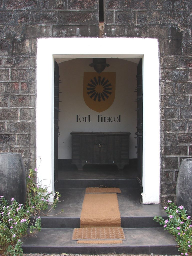
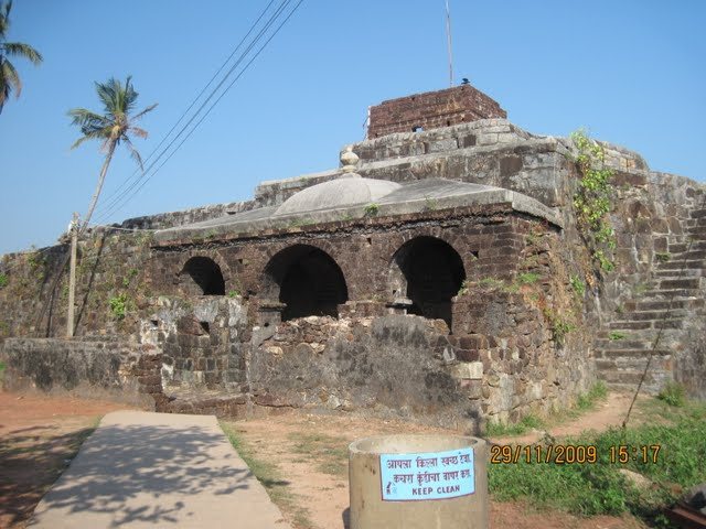
The main entrance was deliberately concealed so that it could not be identified from outside the fort. Within the enclosure are temples, water tanks, and three wells, forming the principal surviving interior features of the island stronghold.