Cavers Castle: A Medieval Tower House and Later Mansion
Site at a Glance
- Popularity
- Medium
- Country
- United Kingdom
- Primary era
- Medieval
- Eras represented
- Medieval, Early Modern, Modern
- Civilizations
- British, Kingdom of Scotland
- Site type
- Domestic
- Remains
- Castle
On this page9 sections
History
Cavers Castle is a ruined fortified residence in the United Kingdom, first associated with the Balliols and later with the Douglases. Its central tower was probably built by Archibald Douglas in the fifteenth or early sixteenth century as a tower house, a fortified residence centred on a tower. The site became a baronial centre and later served as a Douglas family home, changing from a border stronghold into an enlarged mansion.
The Balliols and the border conflicts
The Balliol family’s lands and barony at Cavers, a landed jurisdiction, are first recorded in 1268, when Alexander de Balliol of Cavers is named. Church lands were held separately by Jedburgh Abbey from early in the reign of William the Lion. During the Scottish Wars of Independence, Alexander was captured in 1296, possibly at Dunbar. After his release he fought for Edward I of England from 1297, while his son was kept in the Tower of London as a guarantee of his conduct.
An English garrison occupied Cavers Castle in 1311. After Scottish forces captured Jedburgh Castle in 1314, English authority still extended into the district: in 1319, English officials nominated a priest to Cavers church. In 1321, James Douglas issued a safe-conduct at Cavers allowing English cavalry to enter Scotland, although the document does not identify the castle itself. By 1358 the Balliols had forfeited their estates for opposing Robert the Bruce, and Cavers was held by the Earl of Mar. A grant of lands in the barony to the Earl of Douglas in 1368 was signed at Cavers, indicating that a baronial centre had been established there.
The Douglas barony
Isabel, Countess of Mar, held Cavers in 1397. In the early fifteenth century she granted its lands and barony to her nephew Archibald Douglas, an illegitimate son of James, Earl of Douglas. The grant faced rival claims. Robert III disputed it and awarded the lands to Sir David Fleming of Biggar, while George Douglas, Earl of Angus, also contested rights to Cavers that had been held by Sir James Sandilands. James I confirmed Archibald’s grant in 1412. Archibald became hereditary Sheriff of Roxburghshire, an administrative and judicial office held through inheritance, also known as Sheriff of Teviotdale.
Archibald probably built the tower that formed the castle’s core. A charter of 1511 calls Cavers a castle and made its lands a free barony for Sir James Douglas, who died in 1545. William Douglas of Cavers, a supporter of James III, fought for him at Sauchieburn in 1488 and was pardoned by James IV after the king’s victory. A charter of 1509 records William’s death while resisting the English.
Border warfare and royal service
In 1535, a raid involving Walter Scott, laird of Buccleuch, and the Dacres became known as the “raid of Cavers.” James V condemned Scott that April for taking part. English raiders led by Jak of Musgay and Little John Heron burned Cavers in June 1542, setting fires and carrying away goods along the Caill Water and elsewhere in Teviotdale. In March 1543, Regent Arran, governing in the monarch’s place, pardoned Scott for burning Cavers and Denholm alongside Lord Dacre and Christopher Dacre.
During the Rough Wooing, England’s mid-sixteenth-century campaign to force a marriage alliance between the English and Scottish royal houses, Lord Hertford’s forces burned either the tower or its farm in September 1545. After the Battle of Pinkie in 1547, William Douglas of Cavers, the sixth laird, swore allegiance to Edward VI. On 23 September, he gave the Duke of Somerset an oath of assurance at Roxburgh Castle, alongside other lairds of Teviotdale and the border region.
In January 1570, Richard Norton and his son Francis took refuge at Cavers while fleeing Naworth after the Rising of the North, a rebellion in northern England in 1569. Robert Constable came to spy on them and other fugitives. In the 1580s, Robert Douglas of Cavers served as an officer responsible for the horses of Archibald Douglas, 8th Earl of Angus. Another border conflict brought the destruction of the nearby settlement of Cavers in 1596.
Residence and the end of the estate
James VI rode from Dunglass Castle to Cavers on 14 May 1617 and knighted William Fenwick of Northumberland there. The castle’s military role ended after James VI disbanded the border guard in 1621, and it thereafter served chiefly as the Douglases’ residence. In 1626, Sir William Douglas, the ninth laird, surrendered his hereditary office as Sheriff of Roxburghshire to the Crown for £20,000 Scots. He supported the National Covenant, a 1638 Scottish agreement opposing royal interference in church government. The Hawick Covenant, a local declaration in the same religious and political movement that he signed that year, was kept at Cavers.
The house was substantially remodelled as a mansion in the seventeenth century and enlarged later. The estate faced financial difficulties from the late seventeenth century through the first half of the eighteenth. In the nineteenth century the house was leased to guests with shooting rights, while the family preferred Midgard House from 1863. The direct male line of the Douglas family ended in 1878, and the estate passed to the related Palmer Douglas family. Further remodelling in the 1890s gave the house a Scottish baronial revival character.
Archibald Palmer Douglas returned from Midgard to Cavers House in the 1940s, and electricity was installed in 1946. After his death in 1947, his son James administered the estate for his grandmother until 1949. Death duties led to the estate’s breakup. Unable to find a buyer for the house, James had it unroofed. It was used for explosives practice in 1954 and later sold as part of the divided estate.
Remains
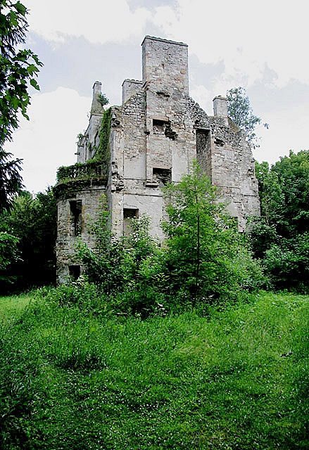
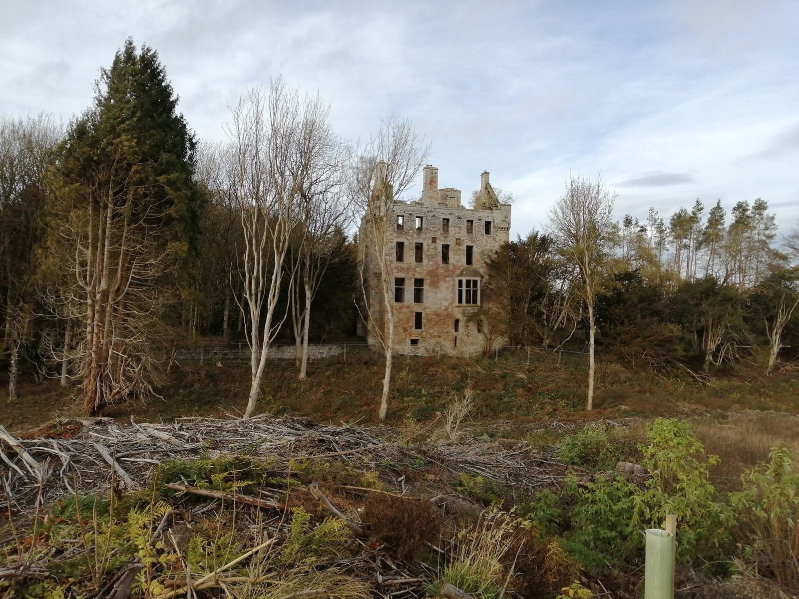
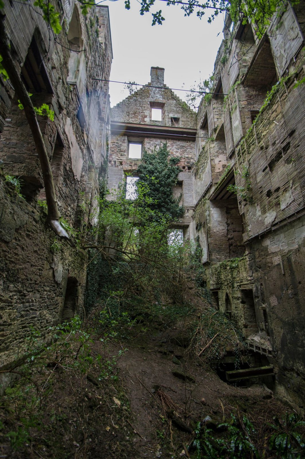
The ruined complex retains the shell of its old tower, part of the mansion attached to it, and sections of outer wall. Maps provide evidence for an earlier arrangement of buildings around a courtyard, followed by the house’s place within a large estate.
The tower and courtyard
A map made by Scottish cartographer Timothy Pont around 1590–1600 depicts a tall tower, an enclosing defensive wall around a courtyard, and ancillary buildings. General William Roy’s military map of about 1750 shows the house at the centre of a large estate with few formal gardens. The tower now survives as a shell within the remains of the enlarged residence.
The mansion and surviving walls
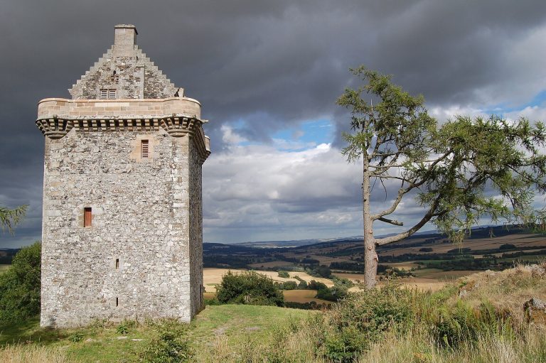
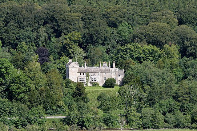
The old tower was incorporated into the later mansion, which had the appearance of a large house by the late nineteenth century. The surviving fabric includes part of the attached mansion and some outer walls, alongside the tower shell.
The church basin
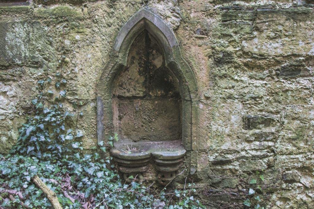
A mid-thirteenth-century piscina, a small basin used in church ritual, was found during nineteenth-century work. It was set in cement at the tower’s outer perimeter in the late nineteenth or early twentieth century, and the cement contributed to its rapid deterioration.