Causey Arch: An 18th-Century Railway Bridge in County Durham
Site at a Glance
- Popularity
- High
- Country
- United Kingdom
- Primary era
- Early Modern
- Eras represented
- Early Modern
- Civilizations
- British
- Site type
- Infrastructure
- Remains
- Bridge
On this page7 sections
History
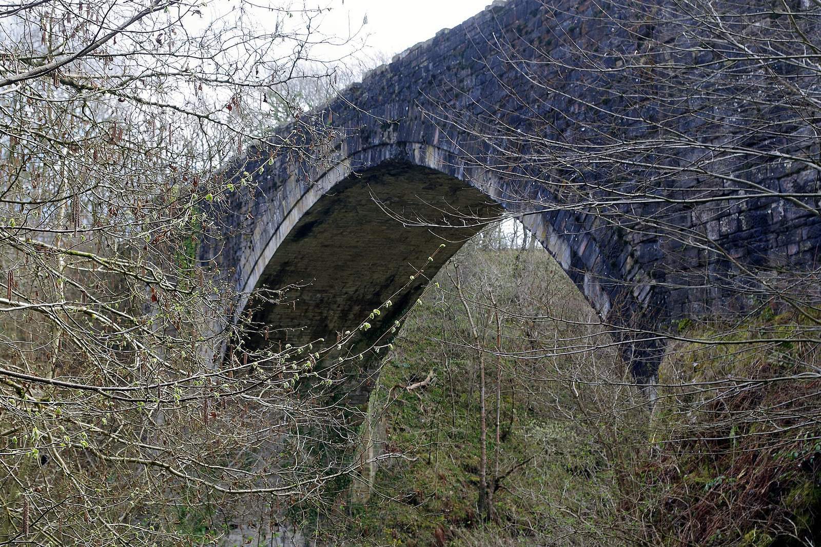
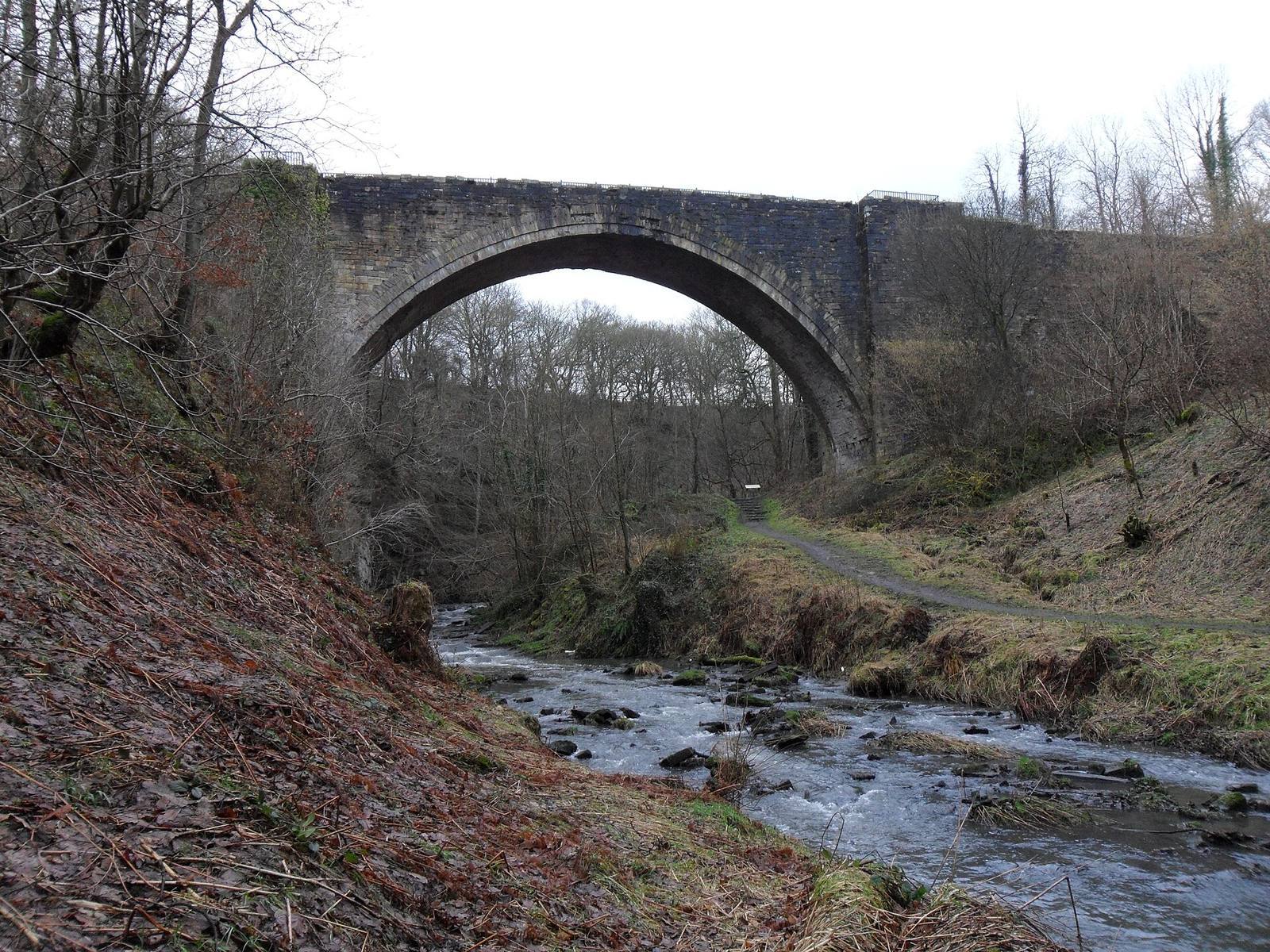
Causey Arch is a stone railway bridge near Stanley in County Durham, United Kingdom, on the Gibside Estate. Stonemason and designer Ralph Wood built it for the Tanfield Railway in 1725–26. Completed in 1726 and opened the following year, it is described as the world’s oldest surviving single-arch railway bridge.
Construction and railway service
Originally called Dawson’s Bridge, the structure was associated with Dawson’s Colliery. A coalition of coal owners known as the Grand Allies paid £12,000 for its construction. The group was founded by Colonel Liddell, the Hon. Charles Montague, and George Bowes, owner of the Gibside Estate.
The bridge served a wagonway, an early railway where carts ran on wooden rails and were pulled by people or horses rather than locomotives. More than 900 horse-drawn wagons crossed it each day. Its two tracks served different directions: the main track carried coal toward the River Tyne, while a return track brought empty wagons back. When completed, its span was the longest in the country; it held that record until the Old Bridge at Pontypridd was built in 1756.
Decline and later history
Use of the bridge declined after Tanfield Colliery was destroyed by fire in 1739. The railway was later diverted, ending the arch’s use by trains. Landslides on the valley slope damaged the structure several times in the late eighteenth century, and restoration and reinforcement work followed around 1978–81.
Causey Arch became a Grade I listed building on 19 July 1950. In England, Grade I is the highest listed-building category, reserved for buildings considered of exceptional interest.
Remains
The bridge and its setting
Stone arch
The stone bridge crosses Causey Burn in a narrow valley. Its single arch spans about 31 metres (102 feet); the bridge is approximately 32 metres (105 feet) long, 6.7 metres wide, and 24 metres high. The burn flows into Beamish Burn, then the River Team, and ultimately the River Tyne. A footpath now crosses the bridge, while the former wagonway is disused.
Sundial
A sundial at the site bears the inscription “Ra. Wood, mason, 1727.”