Castra Micia: A Roman Fort on Dacia’s Western Frontier
Site at a Glance
- Popularity
- Low
- Country
- Romania
- Primary era
- Classical
- Eras represented
- Classical
- Civilizations
- Roman
- Site type
- Military
- Remains
- Fort
On this page14 sections
History
Castra Micia was a Roman fort at Vețel, Romania, founded in the early second century AD after Rome conquered Dacia. Following Emperor Trajan’s victory in the Second Dacian War in AD 106, Rome consolidated its rule and established the province. Micia belonged to the territory of Ulpia Traiana Sarmizegetusa, a settlement for discharged soldiers that became Dacia’s principal urban center. The fort occupied an important position in the western chain of the Roman frontier.
Frontier garrison and local community
Micia’s garrison protected the road toward Partiscum, now Szeged, and monitored river traffic along the frontier. The Mureș offered a westward water route toward the Tisza and, farther on, the Danube. A river port supported this connection, while the fort also monitored a nearby mining area. The presence of two garrison units at the same time was unusual for the period.
Units associated with Micia included detachments from Legio XIII Gemina and Legio IIII Flavia Felix, both Roman legions, as well as Cohors II Flavia Commagenorum, an auxiliary military unit. The garrison record also names several cavalry alae, or auxiliary cavalry units: Ala I Augusta Ituraeorum Sagittariorum, Ala I Hispanorum Campagonum, and Ala I Gallorum et Bosporanorum. Numerus Maurorum Micensium, a less standardized auxiliary unit, was also stationed there. Inscriptions give Cohors II Flavia Commagenorum the honorific titles Antoniniana under Caracalla and Philippiana under Philip the Arab.
A building inscription found inside the fort around 1850 records a dedication to Caracalla dated to about AD 205. Cavalrymen of Ala Campagonum made the dedication through the provincial governor, Mevius Surus. Other inscriptions point to an attack before AD 204 that damaged both the fort and the civilian settlement. Rebuilding followed, including the restoration of a temple in AD 204.
Micia’s military community included beneficiarii, soldiers assigned special duties such as administration, and a customs and tax station beside the river. Pottery production, the leasing of saltworks, and the management of pastures contributed to local activity. Publius Aelius Marius held leases for pastures and saltworks, and an inscription names another salt contractor. A repair inscription, probably from AD 193, records work on the baths by Cohors II Flavia Commagenorum under governor Polus Terentianus, supervised by the cohort prefect Sextus Boebius Scribonius Castus. Further bath repairs took place under Severus Alexander, between AD 222 and 235.
The civilian settlement, or vicus, had its own local administration. A pagus was a local administrative district, and its magistrate could hold civic responsibilities. Caius Antonius Crispinus, one such magistrate, managed land records, led the district’s festival, and carried out other administrative duties. Inscriptions name several additional magistrates, including Lucius Atiliu Faustinus, Marcus Ulpius Romanus, and Titus Aurelius Verus.
Religious life and the end of Roman rule
Worship at Micia included the Dii Mauri, a group of deities associated with North Africa, as well as Mithras, Hercules, and Isis. The arrival around AD 160 of Numerus Maurorum Micensium, an auxiliary unit from North Africa, is associated with the worship of the Dii Mauri. In AD 204, members of the Mauri rebuilt a temple to these deities under their prefect, Iulius Euangelianus. Publius Aelius Euphorus established a sanctuary to Mithras in the settlement. A votive altar attests to the worship of Hercules, and another votive inscription refers to a temple associated with Isis.
Raids by the Sarmatian Iazyges and free Dacians repeatedly devastated Dacia from AD 235. Emperor Maximinus Thrax defeated opponents near Sirmium in AD 236, but further incursions followed. By AD 271, Emperor Aurelian had ordered the withdrawal of Dacia’s military and administrative personnel. Micia was then abandoned by Rome.
Rediscovery, excavation, and protection
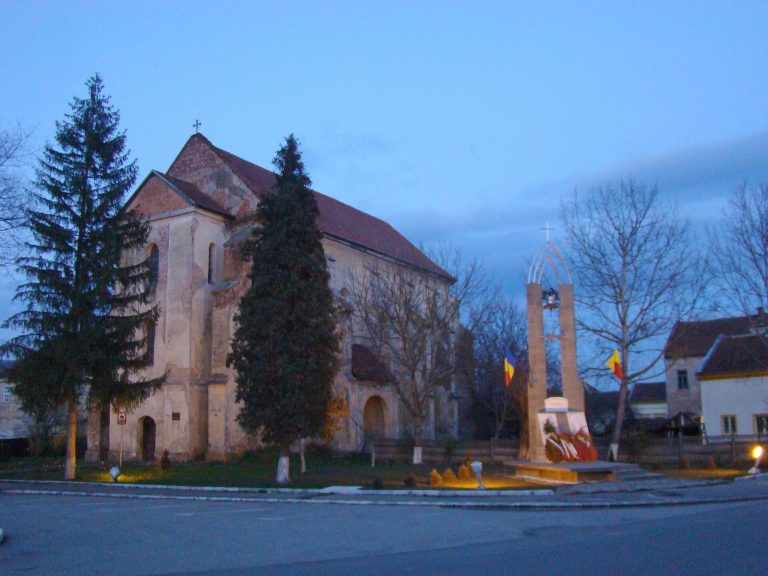
Local knowledge of the ancient fortification endured, and the site was associated with the name Cetate, meaning “fortress.” The officer and scholar Luigi Ferdinando Marsigli published information about Micia in 1726. Nineteenth-century researchers described its remains and inscriptions; the classical scholar Theodor Mommsen considered the fortification exceptionally well preserved.
A railway opened in 1868 cut through the fort and divided it. Power-plant and road construction beginning in 1968 damaged part of the southern fort, sections of the civilian settlement, and other ancient structures. The first scientific excavations took place in 1929–1930 under Constantin Daicoviciu. Octavian Floca and Liviu Mărghitan carried out rescue excavations during construction work and continued research until 1978. Liviu Petculescu excavated from 1980 to 1992, including investigations of the baths in 1982. Later research involved the Bucharest Institute of Archaeology, the Museum of Dacian and Roman Civilization in Deva, and the National Museum in Cluj. The amphitheater and two bath complexes have been restored and conserved, while intensive agriculture continues to threaten the archaeological area.
The fort, civilian settlement, amphitheater, and necropolis are protected as a Romanian historic monument under the 2001 heritage law. In 2024, Micia became part of the UNESCO World Heritage property “Frontiers of the Roman Empire – Dacia,” alongside 276 other sites.
Remains
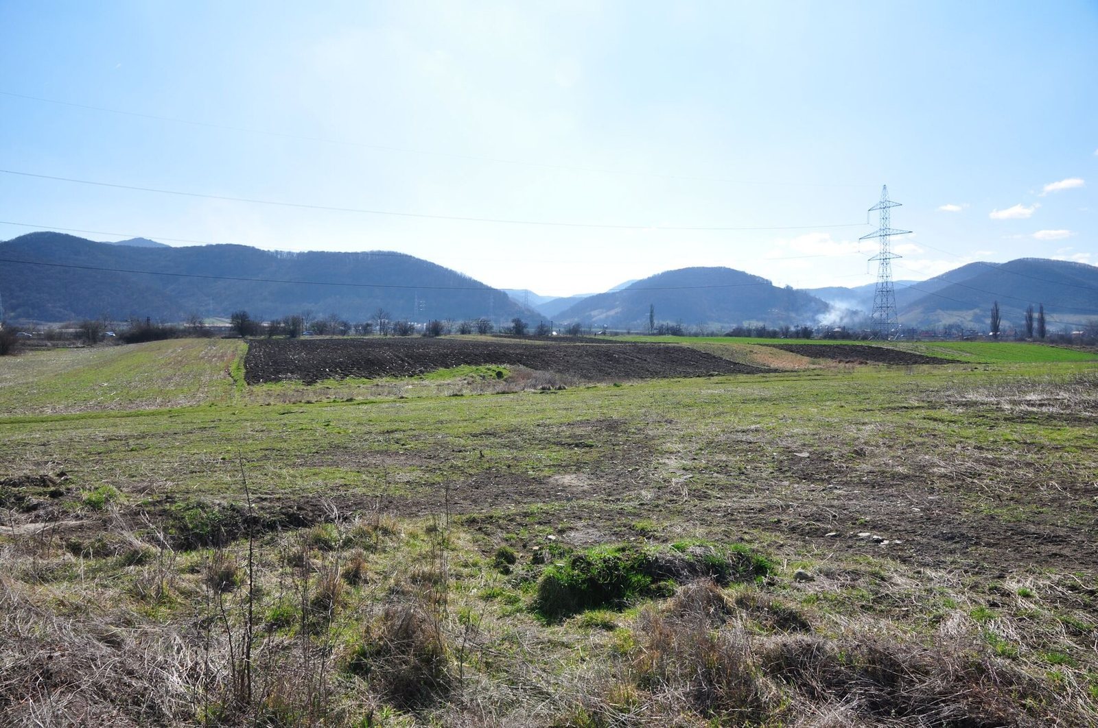
The archaeological area occupies a low, flood-protected terrace on the left bank of the Mureș in southwestern Transylvania, north of the Poiana Ruscă Mountains. The fort’s long axis ran east to west, and the remains extend across the modern railway and road. The civilian settlement lay west of the fort, with a river port and other structures forming part of the wider site.
The fort
Plan and early defenses
The fort had a long rectangular plan with rounded corners. Its stone phase measured about 181 by 360 metres and covered approximately 6.5 hectares. Raised earthworks mark surviving parts of the rampart. The earlier fort was built with a timber-and-earth rampart about four metres wide, which remains up to 1.30 metres high in places. A ditch around it was about eight metres wide and 2.50 metres deep.
Stone-phase structures
Conversion to stone probably began toward the end of the second century AD. Excavations identified the south gate, a granary near the west gate, and a trapezoidal tower at the southwest corner. The south gate had two rectangular towers built against the inner face of the fort wall. Their masonry used opus incertum, a facing of irregularly shaped stones, and the tower fronts projected slightly beyond the wall.
Settlement and associated buildings
Civilian settlement and cemetery
The vicus extended west of the fort and included the river port, pottery kilns, and a necropolis. Its cemetery contained mainly stone sarcophagi and graves made with brick slabs. Funerary monuments from the second century have also been identified.
Military bath
A large military bath stood near the port on the river’s south bank. Its rooms were arranged in a row, with three semicircular projections, or apses. The building was entered from the northwest and contained heated, warm, and cold bathing rooms. Heating channels served the heated rooms. When excavated, parts of the foundations stood more than a metre high. The construction inscription was framed as a tabula ansata, an inscription panel with projecting handle-like ends.
Amphitheater
A small amphitheater lay about 100 metres southeast of the bath. Its stone foundations formed a circle with a circumference of 104 metres around an arena measuring 31 by 29 metres. Four entrances led into the arena; the east and west entrances were each three metres wide. Timber construction beyond the inner stone ring supported additional seating. The building may have served for religious or political gatherings as well as contests, spectacles, or military training.
Religious remains
Remains of a temple to the Dii Mauri measure about 20 metres in length, and its cult area faced west. A votive altar records the Hercules cult, while a separate inscription refers to a temple associated with Isis.
Finds and reused stone
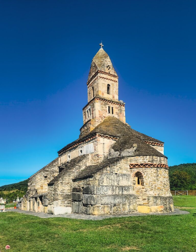
Finds from Micia are held at the County Museum in Deva, the Brukenthal National Museum in Sibiu, the Museum of the Union in Alba Iulia, the National Museum of Romanian History in Bucharest, and the Austrian National Library in Vienna. A bronze military badge dating to the second or third century has a fastening pin on its reverse. Ancient stonework from the site was reused in the village church at Vețel, Gyulai Castle at Mintia, and the former residence of the Baron of Josika at Brănișca.