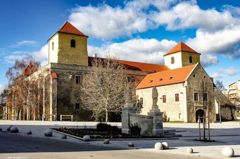
Castle of Csókakő: A Medieval Fortress in Hungary


Site at a Glance
- Rating
- 4.7
- Popularity
- Medium
- Country
- Hungary
- Primary era
- Medieval
- External website
- Open
- Eras represented
- Medieval
- Civilizations
- Hungarian
- Site type
- Military
- Remains
- Castle
On this page10 sections
History
Castle of Csókakő is a thirteenth-century Hungarian fortress in Csókakő, Hungary, built on a rocky plateau above the route through the Gaja stream valley. Its position gave it military and administrative value before later Ottoman artillery and numerical superiority reduced the importance of its small fortifications.
Origins and royal service
After the Hungarian conquest, the surrounding area came under the authority of the Csák kindred, a powerful noble lineage whose estates and fortifications were concentrated in parts of medieval Hungary. Their early fortress may have been Csákvár. Csókakő itself was first recorded in 1299, when István, son of Márk, a royal vice-judge, lived there with his household and servants.
István and his family supported Charles of Anjou, also known as Charles I of Hungary, during the succession struggle for the Hungarian throne. After Charles secured the crown, he acquired their estates in 1326 in exchange for the Dombó and Nyék domains. This arrangement prevented the creation of a potentially threatening bloc of territory. The royal county ispán, a royal official who governed a Hungarian county, also served as castellan of Csókakő, commanding the castle personnel and the population subject to its authority.
Fifteenth-century expansion
During the fifteenth century, István Rozgonyi became castellan. In 1428, he saved his ruler’s life during the Hungarian defeat at the Battle of Galambóc against the Ottoman forces. After the Rozgonyi family became extinct, Csókakő passed through several owners, including John Corvinus, the illegitimate son of King Matthias Corvinus, and Tamás Bakócz, a churchman and statesman who later became archbishop of Esztergom.
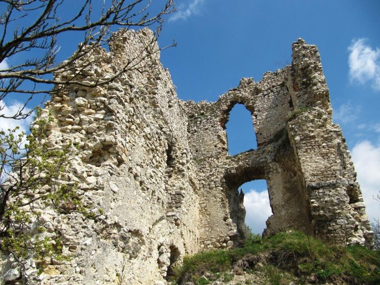
The Rozgonyi period also brought a major enlargement of the fortress, with a lower castle built around the earlier upper castle. This created a complex approximately three times larger than the original stronghold and added the gate tower that remains visible today.
Ottoman occupation
By the sixteenth century, Csókakő had lost much of its military importance. Its small fortifications could not withstand the Ottoman forces’ greater numbers and artillery. After Sultan Suleiman’s army captured nearby Székesfehérvár in 1543, the garrison surrendered to troops commanded by Ahmed, the bey of Székesfehérvár, in the following year without fighting.
Under Ottoman rule, Csókakő served as a subordinate forward observation post for Székesfehérvár. A pay list from 1552 records a garrison of 33 janissaries, elite Ottoman infantry organized as a permanent military corps. Ottoman control ended in the autumn of 1687, after which the castle no longer played a role in military events.
Abandonment and conservation
The castle was abandoned in the early nineteenth century and subsequently became a ruin. Flóris Rómer recognized its archaeological importance in the 1850s. József Könyöki made the first survey in 1885, followed by further work by Géza Csernó in 1897.
Csókakő was declared a protected monument in 1953, and Jenő Fitz published a short historical monograph in 1956. Excavation and restoration began again in 1960 but stopped in 1963. By the second half of the twentieth century, the ownerless castle had become severely ruined and dangerous. The Csókakő Castle Friends’ Society, founded in 1995, supported renewed archaeological investigation and restoration. From 2017, further renovation took place under the National Castle Programme, a Hungarian state heritage initiative for restoring historic castles.
Remains
Rocky setting and upper castle
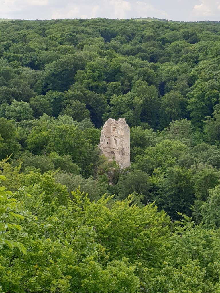
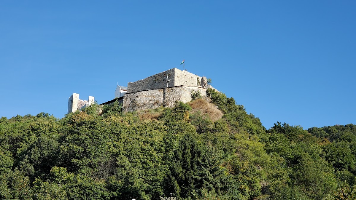
The castle stands at an elevation of about 330 metres on a rocky plateau on the side of 479-metre-high Csóka Hill. Steep rock faces protect three sides, while artificial ditches cut into the rock created an additional separation from the surrounding area. From this position, the fortress controlled the route through the Gaja stream valley, a predecessor of the present Route 81. The route is identified with the “military road” mentioned in the foundation charter of Tihany, the medieval charter associated with the foundation of Tihany Abbey.
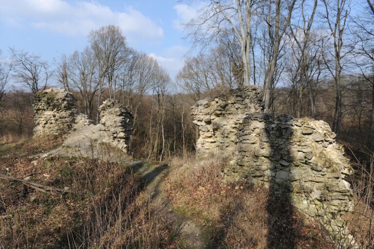
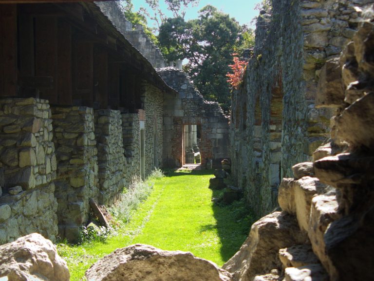
The oldest surviving section is the upper castle, constructed in the thirteenth century. Its approximately rectangular ground plan measured about 28 by 15 metres. A three-storey trapezoidal tower occupied the northeastern corner, with a palace wing attached to it. South of the tower, the courtyard contained a cistern house, a structure built around a cistern for storing water. The surviving stone complex remains a ruin, although archaeological work and restoration have stabilized and altered portions of the remains.
Lower castle and gate tower
The lower castle was built around the earlier fortress during the fifteenth-century tenure of the Rozgonyi family. It was approximately three times larger than the upper castle and incorporated the gate tower that remains visible today. Together, the upper and lower enclosures formed the expanded stone-built complex on the rocky plateau.
Chapel terrace
A chapel was constructed on the terrace between the upper and lower castles during the same fifteenth-century expansion. Its surviving remains consist of the sanctuary pillars. The sanctuary was the sacred part of the chapel around the altar, and these pillars preserve the position of that section within the space between the two fortified areas.
Evidence of Ottoman religious use
A mosque is shown on a 1690 sketch plan and is also mentioned in the travel account of Evlija Cselebi. These references provide evidence for a religious building associated with the castle during the period of Ottoman occupation.