Casteddu di Baricci: A Medieval Castle in Corsica
Site at a Glance
- Country
- France
- Primary era
- Medieval
- Eras represented
- Medieval, Early Modern, Modern
- Civilizations
- Unclassified
- Site type
- Military
- Remains
- Castle
On this page12 sections
History
Construction and Cinarchesi rule
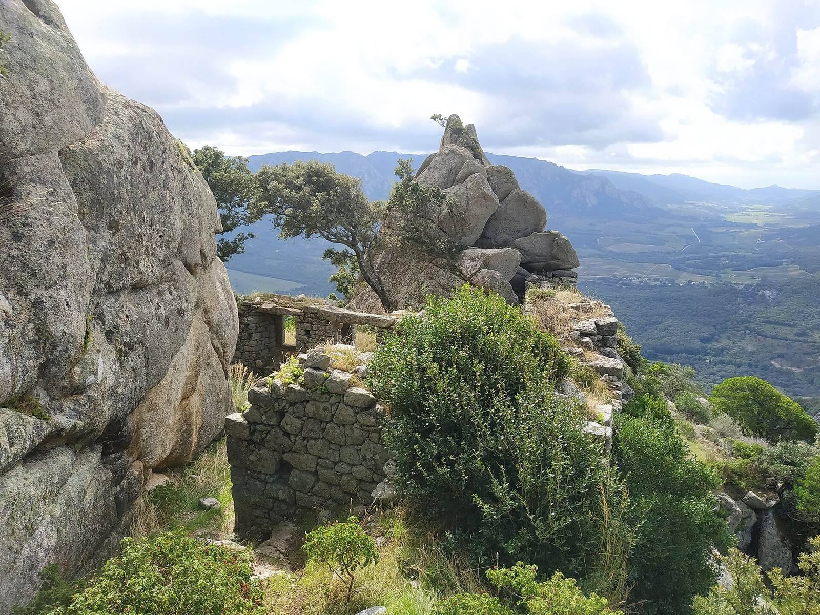
Casteddu di Baricci is a ruined medieval castle in Corse-du-Sud, Corsica, France. Arrigo della Rocca, a Corsican feudal lord who held the title Count of Corsica, built it in the 1380s. After his death in 1401, several claimants disputed control of the castle.
During the 15th century, the castle became the principal residence of the Cinarchesi lords of La Rocca, a Corsican feudal lineage. It also served as a fortress and administrative center for southern Corsica, and was one of the feudal strongholds in the pieve of Sartène, a traditional Corsican district with ecclesiastical and administrative functions. The castle maintained close ties with the village of Ortolo across the valley, as well as with Roccapina and Bonifacio.
Genoese capture and abandonment
In 1502, Rinuccio della Rocca rebelled against the Republic of Genoa, a maritime republic centered on the city of Genoa. Genoese troops equipped with siege artillery besieged and captured the castle at the end of winter 1503. A Genoese garrison occupied it, and the castle was destroyed in 1504–1505. It was definitively abandoned after Rinuccio was killed on 12 April 1511.
Archaeology and protection
Archaeologist Gilles Giovannangeli found ceramic material at the site in 1971; the pieces were later kept at the Museum of Corsican Archaeology in Sartène. He recorded ship graffiti in 1994, then led a survey in 2014 that established a plan of the remains and identified the chapel and lime kiln. The castle entered the inventory of Historic Monuments in 2019 and was classified as a Historic Monument in 2021.
Remains
Layout and upper fortifications
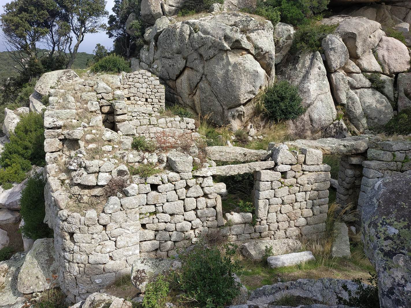
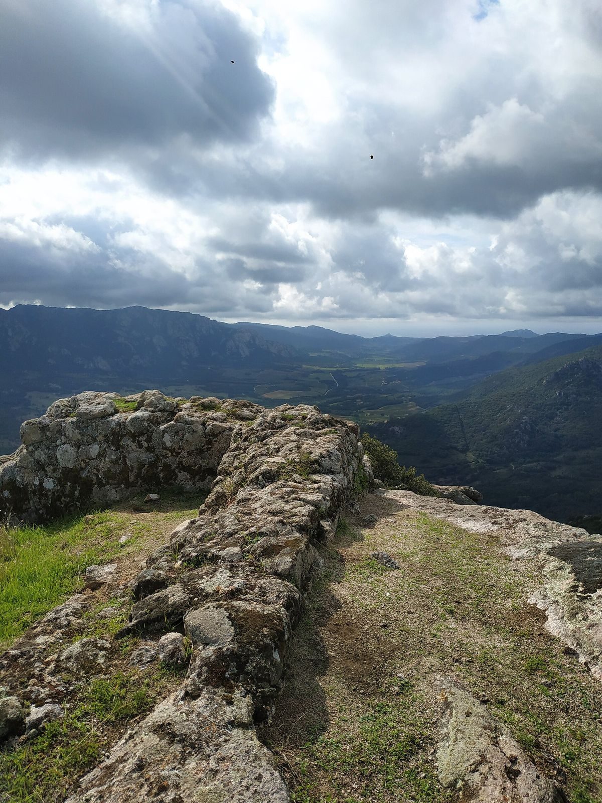
The ruins occupy a rocky pinnacle rising to 519 m above sea level over the right bank of the Ortolo, in the Valdo di Barriccini. The site lies within the communes of Sartène and Foce and overlooks the Ortolo valley. Its fortifications are arranged across three levels: the manor house and two cisterns at 492 m, a built terrace at 510 m, and a tower at the summit.
Manor house and cistern
The manor house contained three rooms. Its south wall had two windows, one on either side of the doorway, and the building retains a well-preserved fireplace. One cistern adjoins the house. Part of its surface is covered in plaster bearing two incised images of ships.
The graffiti may have been scratched into fresh plaster in the 15th or early 16th century, before the castle’s destruction. Another possible dating, based on the types of vessels depicted, places the galley in the second half of the 16th or 17th century and the merchant ship in the 18th or 19th century. The latter image may show a brig.
Terrace and summit tower
Notches and postholes on the terrace suggest that wooden structures once stood there. The quadrangular summit tower measured about 2.5 m across, with walls 0.71–0.94 m thick. A vertical cliff to its west formed a natural defense.
Lower buildings and approach
Chapel
At the foot of the pinnacle stands a rectangular chapel measuring slightly more than 9 m by 4.25 m. Its walls are about 0.60 m thick and consist of irregular granite rubble bonded with lime mortar.
Lime kiln
A circular lime kiln at the foot of the pinnacle measures slightly more than 3 m in diameter. It was built from medium-sized rubble.
Route toward Tallano
A probable route linked the castle with the pieve of Tallano, passing dry-stone huts, a chapel, and an improved spring. The spring, more than 1.5 km away, may have supplied water to the castle.