Caherconnell Stone Fort: A Medieval Gaelic Ringfort in Ireland
Site at a Glance
- Rating
- 4.5
- Popularity
- Medium
- Country
- Ireland
- Primary era
- Medieval
- External website
- Open
- Eras represented
- Stone Age, Bronze Age, Medieval, Early Modern
- Civilizations
- Irish
- Site type
- Domestic
- Remains
- Elite Residence
On this page15 sections
History
Caherconnell Stone Fort is a medieval Gaelic Irish ringfort in County Clare, Ireland, built mainly between the early tenth and mid-twelfth centuries. Also known as Caherconnell or Cathair Chonaill, meaning “Conall’s stone ringfort,” it was occupied from approximately the early tenth century to the early thirteenth century and remained an important settlement in the Burren.
Medieval Gaelic occupation
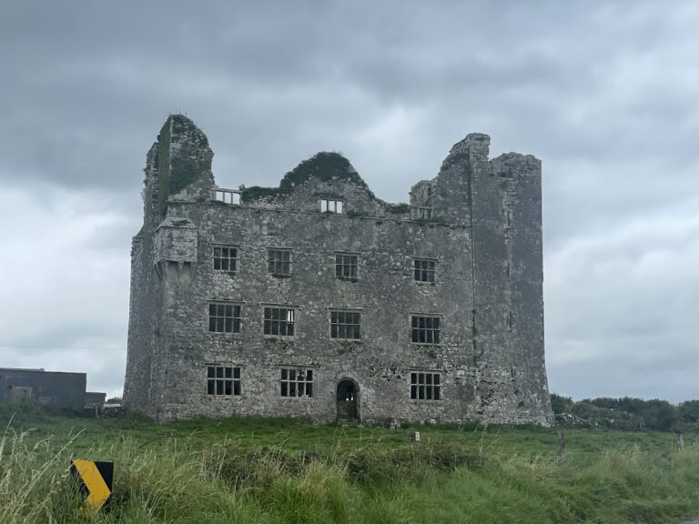
The fort was controlled by the O’Loghlen family, a Gaelic Irish kin group associated with the Burren. This region was not directly affected by Anglo-Norman influence, the political and cultural expansion that followed the Anglo-Norman intervention in Ireland from the late twelfth century. Caherconnell therefore remained culturally Gaelic for an extended period.
People living at the fort during the fifteenth and sixteenth centuries belonged to a branch of the O’Loghlen family distinct from the main branch, which had moved to Glensleade Castle about 3 km north. Excavated material indicates that the occupants used and produced relatively high-status goods. Manufacturing included pin-making, precious-metal working, and ironworking.
Later use and archaeological interpretation
The fort may have experienced a temporary abandonment during the fourteenth century, although the pattern of occupation through this period is not established. A later rectangular building, known as Structure A, was probably constructed between the early fifteenth and mid-seventeenth centuries, and the settlement continued in use into relatively late historical times.
Caherconnell forms part of a group of Burren cashels, or stone ringforts, that includes Cahermore and Cahermacnaghten. Their continued use into relatively late periods provides a wider regional context for the fort’s long history.
Remains
Caherconnell stands in the Burren’s karst-limestone landscape, a region of exposed limestone, pasture, caves, stone walls, and archaeological monuments. The fort lies in the townland of Caherconnell, west of the R480 road and about 1 km south of the Poulnabrone dolmen, a prehistoric monument formed from large stones.
Main enclosure
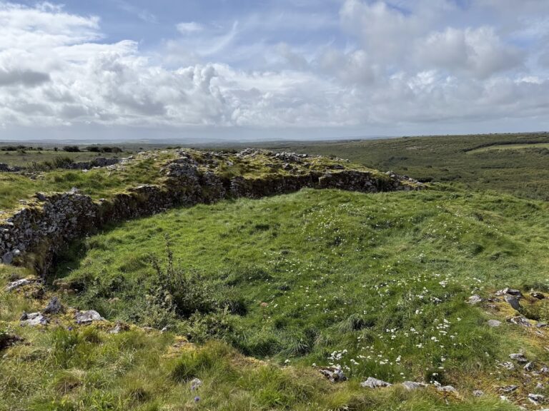
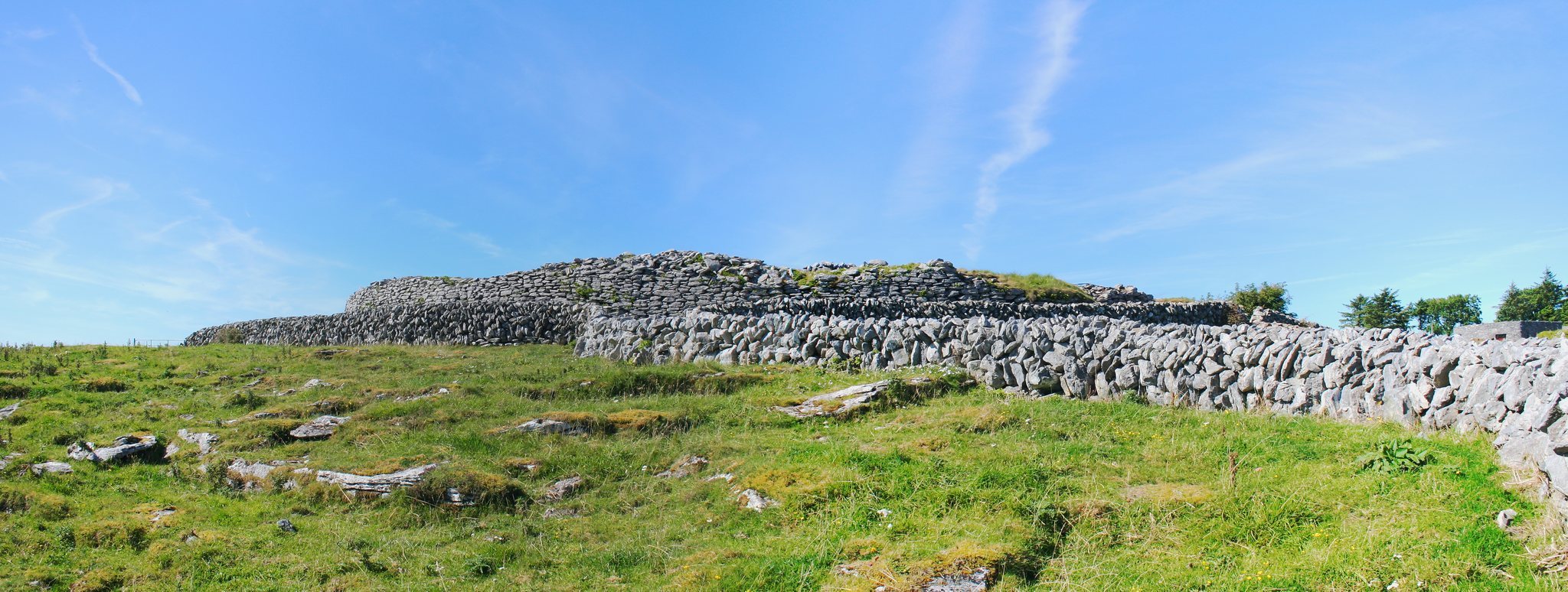
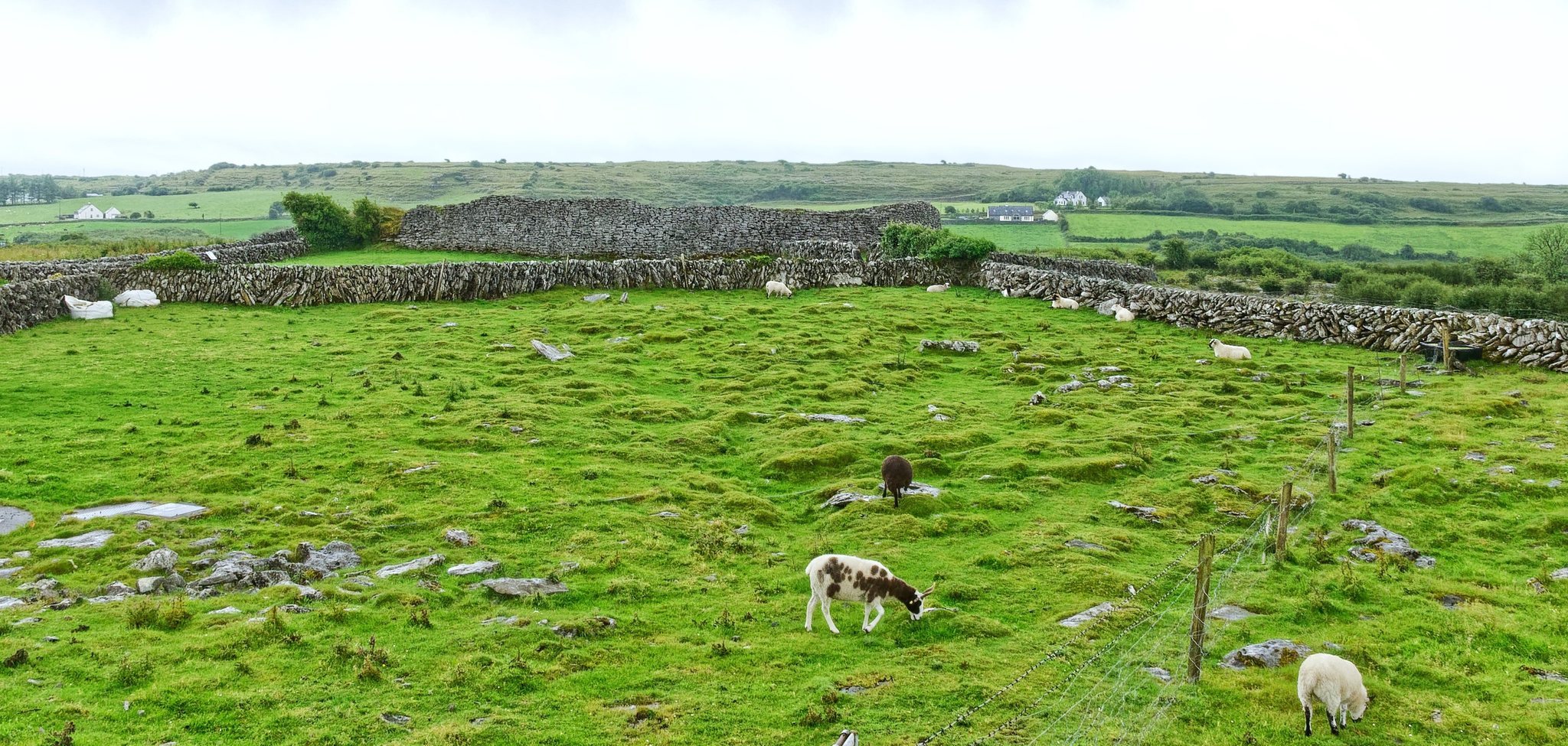
The site is organized around a circular drystone enclosure approximately 42 m across. Its wall is built from local limestone and reaches about 3 m in both thickness and height. The quantity of fallen stone suggests that it may originally have stood roughly 1 m higher.
Eastern entrance
The entrance is on the eastern side of the enclosure. Although the opening visible today is broad, the original arrangement may have included a narrower covered passage. Worked stone blocks found near the entrance in the early twentieth century indicate that it may have been renovated during the late medieval period.
Internal dividing wall
A ruined drystone wall crosses the interior. Approximately 1 m wide, it probably divided the enclosure into two functional areas and forms part of the northern wall of Structure B.
Internal and surrounding structures
Structure A
Structure A stands beside the northern enclosure wall. The rectangular building is aligned east to west and measures about 10 m by 5 m. Its construction probably belongs to the period between the early fifteenth and mid-seventeenth centuries.
Structure B
Structure B is located beside the western enclosure wall and measures approximately 7.5 m by 5 m internally. Its northern wall is incorporated into the fort’s internal dividing wall.
Outlying foundations
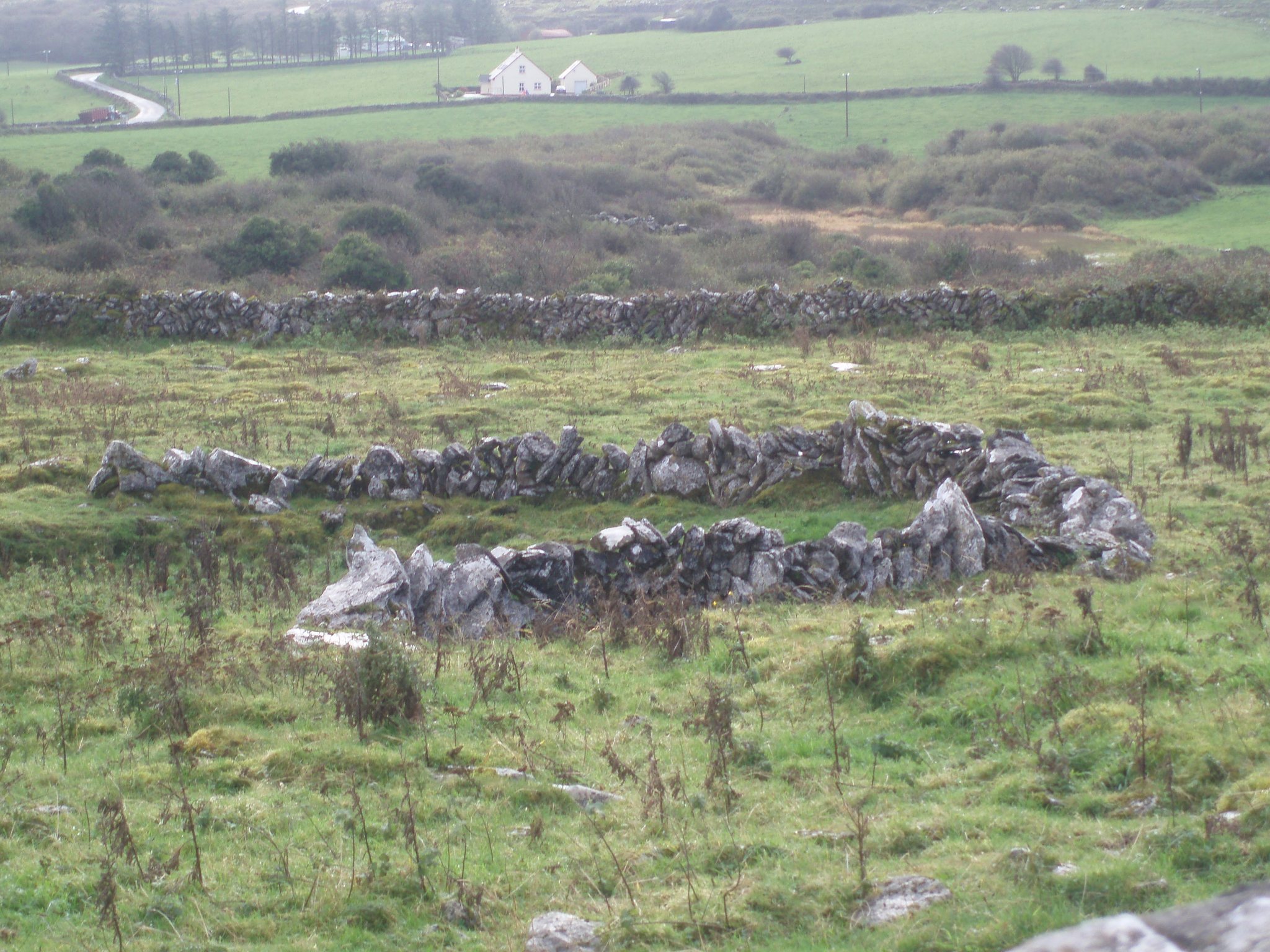
Two adjacent foundations exposed during clearance in 2002 outline additional buildings. Their possible uses include animal shelters, tool stores, or food stores. A separate line of slabs marks a possible large rectangular house with one room and a central hearth, which may have been a principal building.
Livestock enclosure and stone shelter
A small enclosure may have held livestock. Cattle could be kept temporarily within Irish ringforts, particularly during calving and lambing. Outside the wall stands a stone-built “kid cro,” or lamb shelter, estimated to be 100 to 200 years old. Its relationship to the fort’s medieval use remains uncertain.
Earlier feature and archaeological finds
Rectangular timber feature
Examination of a later stone building revealed postholes from an earlier rectangular timber structure or feature southwest of the fort. It may date from the Neolithic or Bronze Age, although its precise function remains uncertain. Another interpretation identifies it as a medieval corn-drying kiln.
Partial, disarticulated human remains belonging to three people were discovered at the entrance to the feature in 2008. The remains date to the fifteenth or sixteenth century and were placed in a manner unlike expected Christian burial practice of that period. Their meaning remains under archaeological discussion.
Objects and craft evidence
The chamber or an associated hollow produced a prehistoric pottery sherd dating to approximately 3700 BC, fragments from three stone axe heads, an iron medieval knife blade, and three silver coins. The coins include an Edward III halfpenny from Durham dated 1344–1351, an Edward III groat from Canterbury dated 1327–1335, and an Elizabeth I sixpence dated 1582–1583. Other excavated evidence includes ironworking slag, a possible anvil position, a pin-making mould, and traces of precious-metal working.