Cabezo de Alcalá: An Ancient Iberian Hilltop City in Spain
Site at a Glance
- Popularity
- Medium
- Country
- Spain
- Primary era
- Classical
- Eras represented
- Classical
- Civilizations
- Iberian, Roman
- Site type
- Settlement
- Remains
- Town
On this page20 sections
History
Cabezo de Alcalá is an ancient hilltop settlement in Spain, first occupied around the ninth century BC by people of the Celtic Urnfield culture, named for burial customs involving cremation and urns. Its first inhabitants chose a defensible position near the Aguasvivas River, with access to water and control of the river valley.
From early settlement to Iberian city
The settlement was destroyed around the third century BC during the Punic Wars, a series of conflicts between Rome and Carthage. Iberians, probably including the Sedetani, an ancient Iberian people, rebuilt it. The city’s Iberian phase is dated to the second and first centuries BC, and its population has been estimated at about 3,000. Residents gradually adopted Roman customs while retaining a native character.
The city’s ancient name is unknown. One proposed identification is Sedeisken, known from coin inscriptions and described as the Sedetani capital. Another links the site with Belikiom, though that identification is disputed.
The Sertorian War and destruction
In 75 or 76 BC, Pompey’s troops besieged the city because it supported Quintus Sertorius. The Sertorian War was a Roman civil conflict in which Sertorius resisted Roman authority and Pompey opposed him. To cross the ditch and walls, the attackers built a ramp from material taken from houses in the outer districts and Roman building concrete. The city was destroyed in the assault and was not rebuilt.
Rediscovery and archaeological work
Pablo Gil y Gil found the site in 1885 after discovering painted pottery on the hill. He identified the settlement as Iberian and recognized Hellenic influence in the pottery’s decoration. Pierre Paris later purchased some of the pottery for the Louvre, after which the site gained international recognition.
Juan Cabré Aguiló began scientific excavations in 1919 and continued until 1944, with a break during the Spanish Civil War. He published many of the finds, including in La Cerámica de Azaila. During the war, the temple served as an air-raid shelter, suffering major damage and losing the few paintings that had survived. Antonio Beltrán Martínez and Miguel Beltrán Lloris resumed excavations from the 1960s, and their work helped shape the current understanding of the site.
A decree of 3 June 1931 declared Cabezo de Alcalá a Historic-Artistic Monument within Spain’s National Artistic Treasure. It is now an Asset of Cultural Interest and, since 2024, a Historic Ensemble, both Spanish heritage designations.
Remains
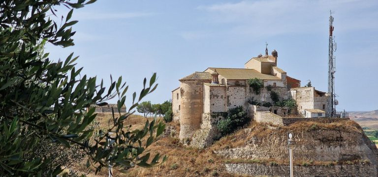
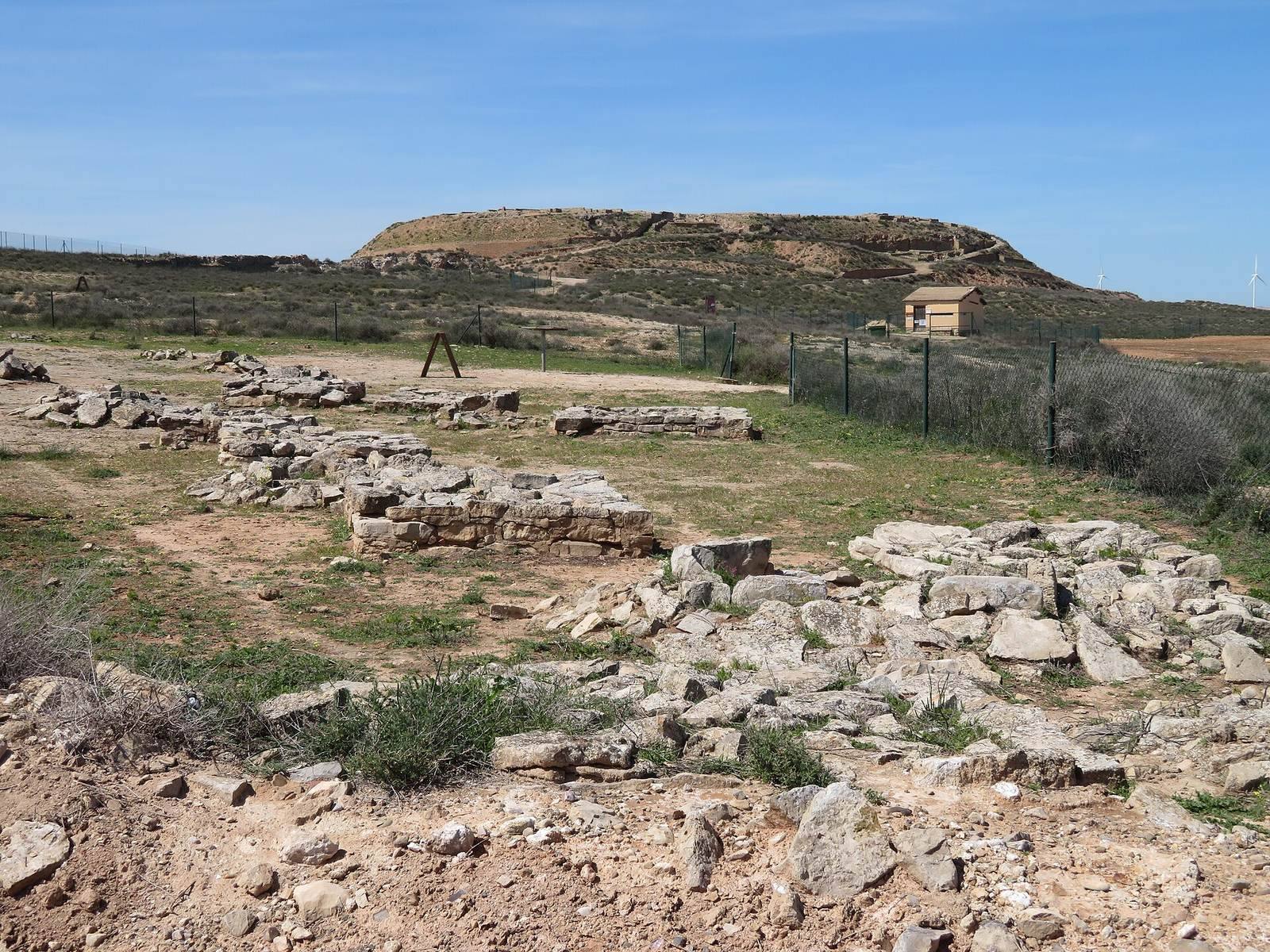
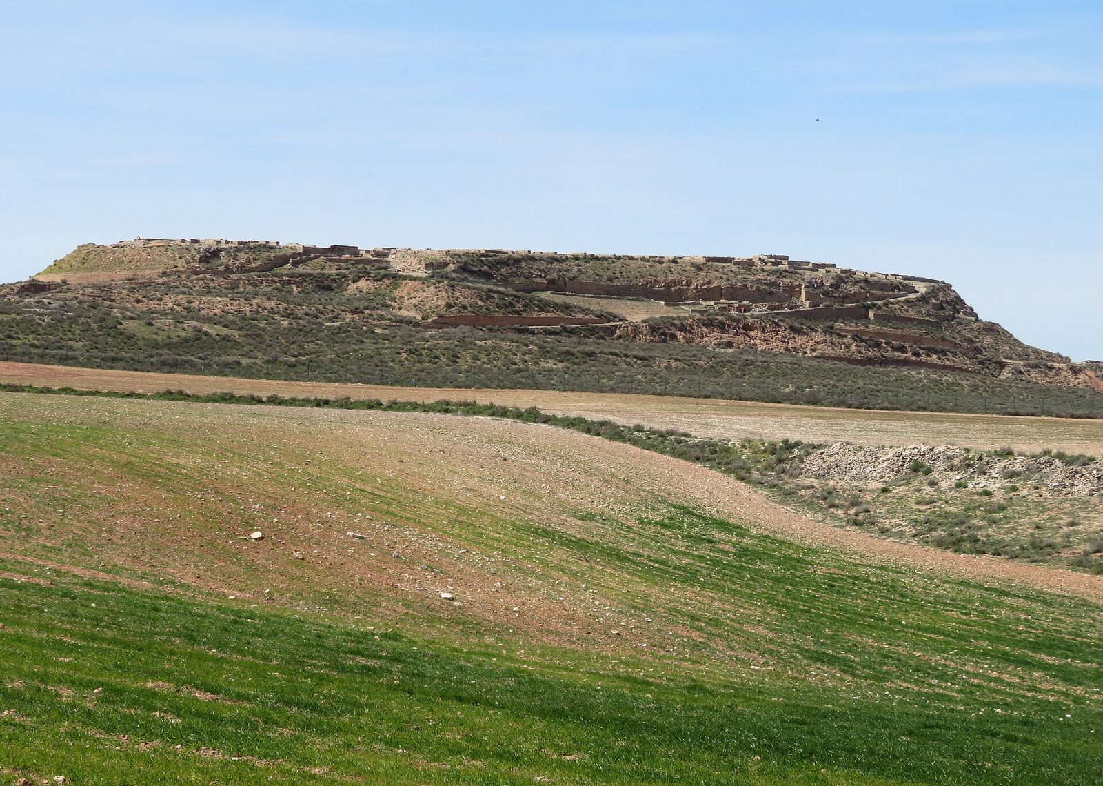
The archaeological complex occupies an elongated hilltop beside the Aguasvivas River and includes a fortified acropolis, adjoining buildings, and burial areas. The city extended along the ridge, with paved streets and buildings arranged across the settlement. The earliest occupation lies below the level currently exposed.
Streets and water supply
Streets and bridge
A central paved street ran along the settlement, with other streets meeting it; sidewalks bordered the roadways. A small bridge crosses the ditch of the second wall on the approach to the acropolis. The present bridge is concrete. Its earlier version was built of stone and had a removable wooden middle section.
Cistern
A zigzag path leads to a cistern 10 metres deep, with a capacity of about 660,000 litres. The streets ended at this reservoir, which collected rainwater. Its stone walls were plastered to hold water. Residents also drew water for everyday use from the Aguasvivas River, a few hundred metres away.
Defenses and outer quarters
Watchtowers and barracks
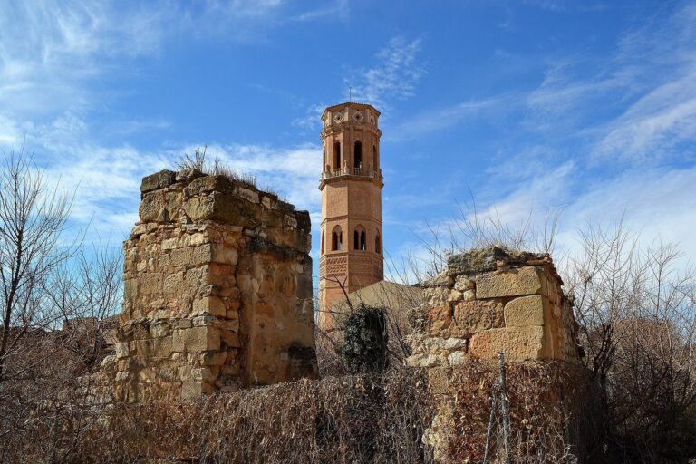
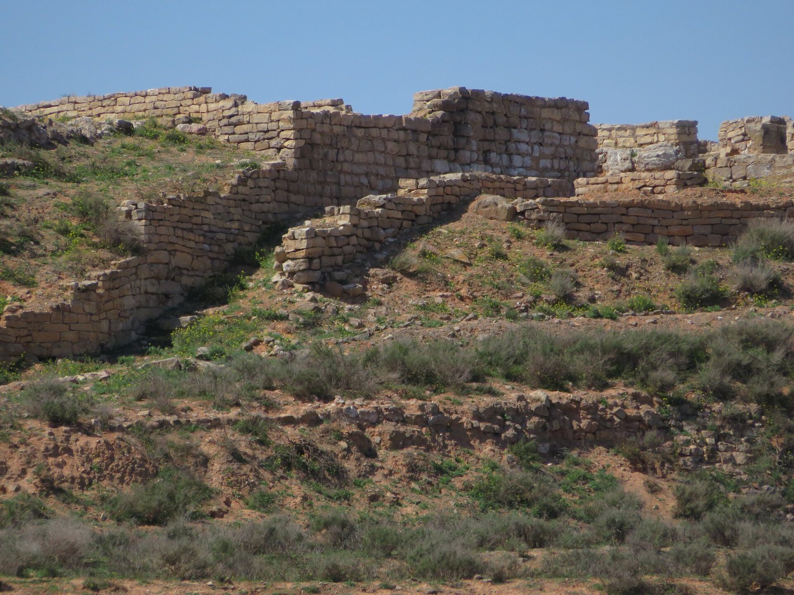
At one end of the settlement, two watchtower remains stand at the highest point. Their upper portions are thought to have included wooden structures. A relatively large building behind the towers is believed to have served as barracks. This was the city’s most fortified area.
Commercial and residential areas
The preserved commercial quarter lies beyond the first walled enclosure. Shops stood on both sides of a paved street. Houses for farmers and poorer residents also extended outside the walls, and modern agricultural and economic activity has partly damaged these outer areas.
Homes and food processing
Houses
Ordinary Iberian houses covered about 40 square metres and usually had three rooms, with wealthier households sometimes having four. The kitchen stood near the entrance, and small windows and a chimney provided limited ventilation. The main room served daily life, while bedrooms lay at the rear; wealthier families could have two. Under Roman influence, some residents built houses with rooms around a central courtyard. A much larger house, attributed to a local ruler, measured about 300 square metres and also had a courtyard. Houses were arranged in blocks, with large storage rooms containing jars.
Mill and bakery
A mill stood in the acropolis beside the building identified as a bakery, and its millstones remain visible. A stone grain mill was also found in the presumed bakery. These food-processing structures were located within the acropolis rather than in the commercial quarter.
Temple
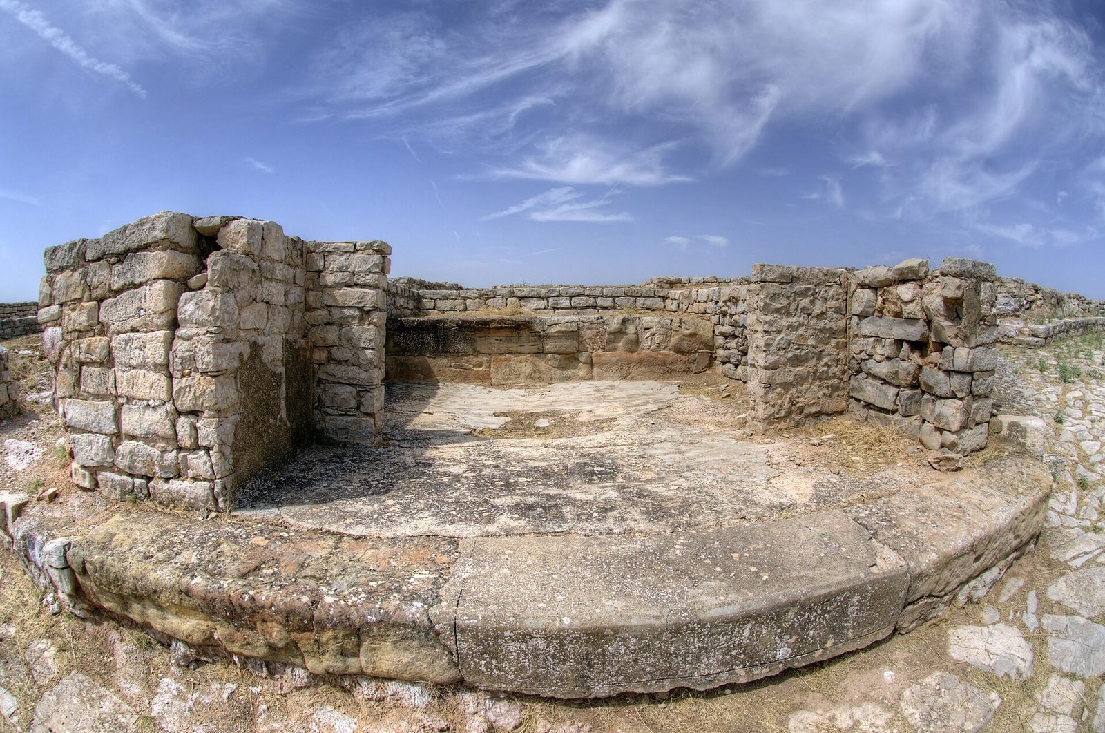
The temple stood where the entrance street met the main street. It comprised a small enclosure and a raised platform with four sockets thought to have held bronze statues. Marks in the rock floor support a proposed reconstruction of a young local noble presented as a hero in a Roman style resembling Pompey’s. He holds a horse by its reins in his right hand while a woman crowns him. She may have represented Victoria, the Roman goddess of victory, or a local counterpart, and appears to have been suspended above the group. Two heads from the sculptural group, one female and one male, are preserved in the National Archaeological Museum in Madrid; copies are displayed at the Azaila Interpretation Centre. The floor was finished in opus signinum (mortar mixed with crushed ceramic), and wall paintings imitated cut-stone blocks, apparently the work of artists from Italy. The entrance step bears the carved words “Long live the CNT,” referring to Spain’s anarcho-syndicalist trade-union confederation.
Baths
Dating between the second and first centuries BC, the baths are among the oldest discovered in the Iberian Peninsula. They stood outside the walls and were connected to the city by stairs. Bathers entered through changing rooms, with the frigidarium (cold room) to their right. The tepidarium (warm room) lay behind the changing rooms, and two rooms farther back held the caldarium (hot room) and steam baths. A palaestra (exercise area) may have stood beside the warm room. Boilers were positioned on the side away from the acropolis, and a conduit may have carried water from the cistern to the baths.
Burial remains and inscriptions
Celtic cemetery
The complex includes a Celtic urnfield, a cemetery associated with cremation and burials in urns.
Iberian tomb
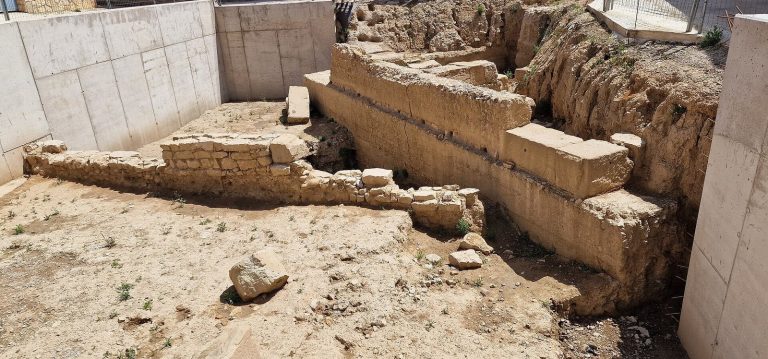
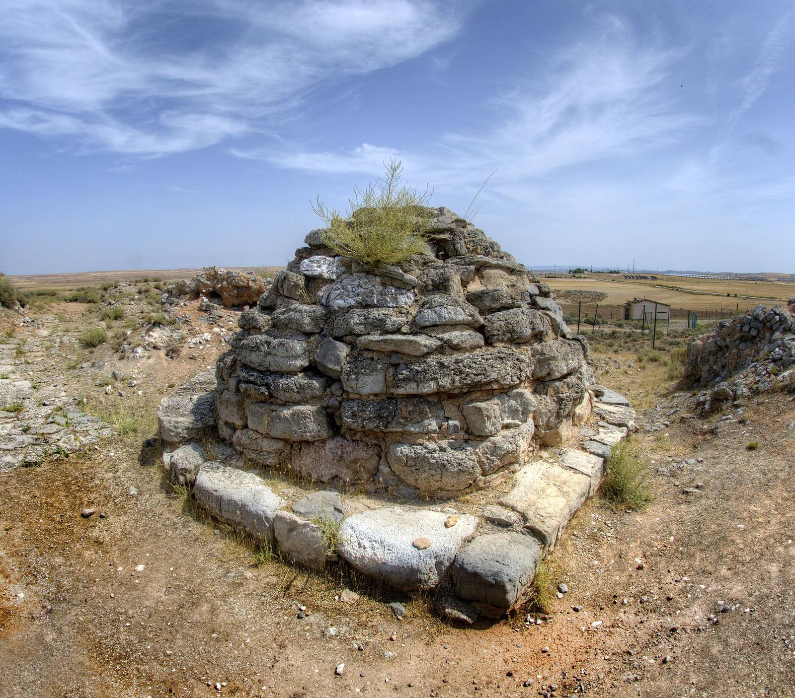
An Iberian tomb lies among the remains of Pompey’s siege ramp, beside a paved road leading out of the city. Its stone dome rests on a square plinth, a base supporting a structure.
Iberian inscriptions
By 2026, the Cabezo de Alcalá corpus comprised 998 Iberian inscriptions, the largest known collection of Iberian texts and an important body of evidence for writing in Iberian society. Most are short, sometimes just one or two letters, and many are difficult to interpret. They appear on everyday objects such as plates, vessels, storage jars, and amphora handles. Most are graffiti cut into pottery after firing; a few were incised before firing, some are stamped commercial marks, and very few are painted. Although 96.2 percent of the texts are in Iberian, black-gloss pottery, with its dark, shiny surface, is the most common writing material.