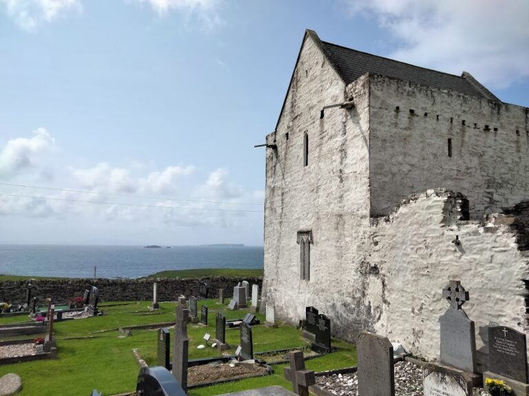
Burrishoole Friary: A Dominican Religious House in Ireland
Site at a Glance
- Rating
- 4.7
- Popularity
- Low
- Country
- Ireland
- Primary era
- Medieval
- External website
- Open
- Eras represented
- Medieval
- Civilizations
- Norman
- Site type
- Religious
- Remains
- Church
On this page9 sections
History
Burrishoole Friary is a fifteenth-century Dominican religious house in Ireland, founded around 1469 in the Diocese of Tuam by Richard de Burgo of Turlough, Lord MacWilliam Oughter. Dominican houses were friaries governed by friars rather than abbots. The foundation became important as a centre of the order in the area, although it was established without papal permission.
Foundation and papal authorization
The unauthorized foundation exposed Richard de Burgo and the first friars to possible excommunication. Richard later took the Dominican habit and died at the friary in 1473. A papal bull, a formal document issued by the pope, retrospectively approved the foundation in 1486 and instructed the Archbishop of Tuam to forgive the friars for the canonical violation.
War, dissolution, and return
The friary and its surrounding district suffered during the Desmond Rebellions, late-sixteenth-century uprisings against English crown rule in Ireland. In the 1580s, the area was devastated by Sir Nicholas Maltby, an English crown official. A tradition connected with this period tells that Honor Burke, a young nun from a nearby Dominican convent, hid at Burrishoole for a week without food while fleeing. She was canonized in 1653.
The Reformation, the sixteenth-century religious and political transformation that led to the suppression or transfer of many Catholic houses, brought the friary’s formal dissolution. Its property was first granted to Nicholas Weston and passed in 1606 to John King of Dublin, while Dominican friars continued to occupy the buildings.
The friars were expelled but succeeded in returning. In August 1683, Richard Butler, 1st Earl of Arran, wrote in his capacity as Lord Deputy of Ireland, the principal representative authority of the English crown in Ireland, asking Lord Ormonde what measures he had taken to remove the friars and nuns from Burrishoole. By the time of their final return, the friary was already a ruin, and the Dominicans remained there for only a few more years.
Name and later status
Burrishoole was also known as Buiríos Umhaill. The name preserves the older Irish territory of Umall, an Irish petty kingdom, together with buiríos, later anglicized as “burris.” After the Anglo-Norman conquest of Connacht in 1235, the territory passed to Henry Butler, who established a castle and town there. The term buiríos developed from the medieval word for rent-paying feudal holdings, while Umall was later anglicized as Oules during the Tudor period.
Burrishoole is a National Monument of Ireland, a protected historic or archaeological site recognized for national importance. The surviving structures and the continued use of the grounds as a cemetery preserve the physical evidence of the former friary.
Remains
Setting and layout
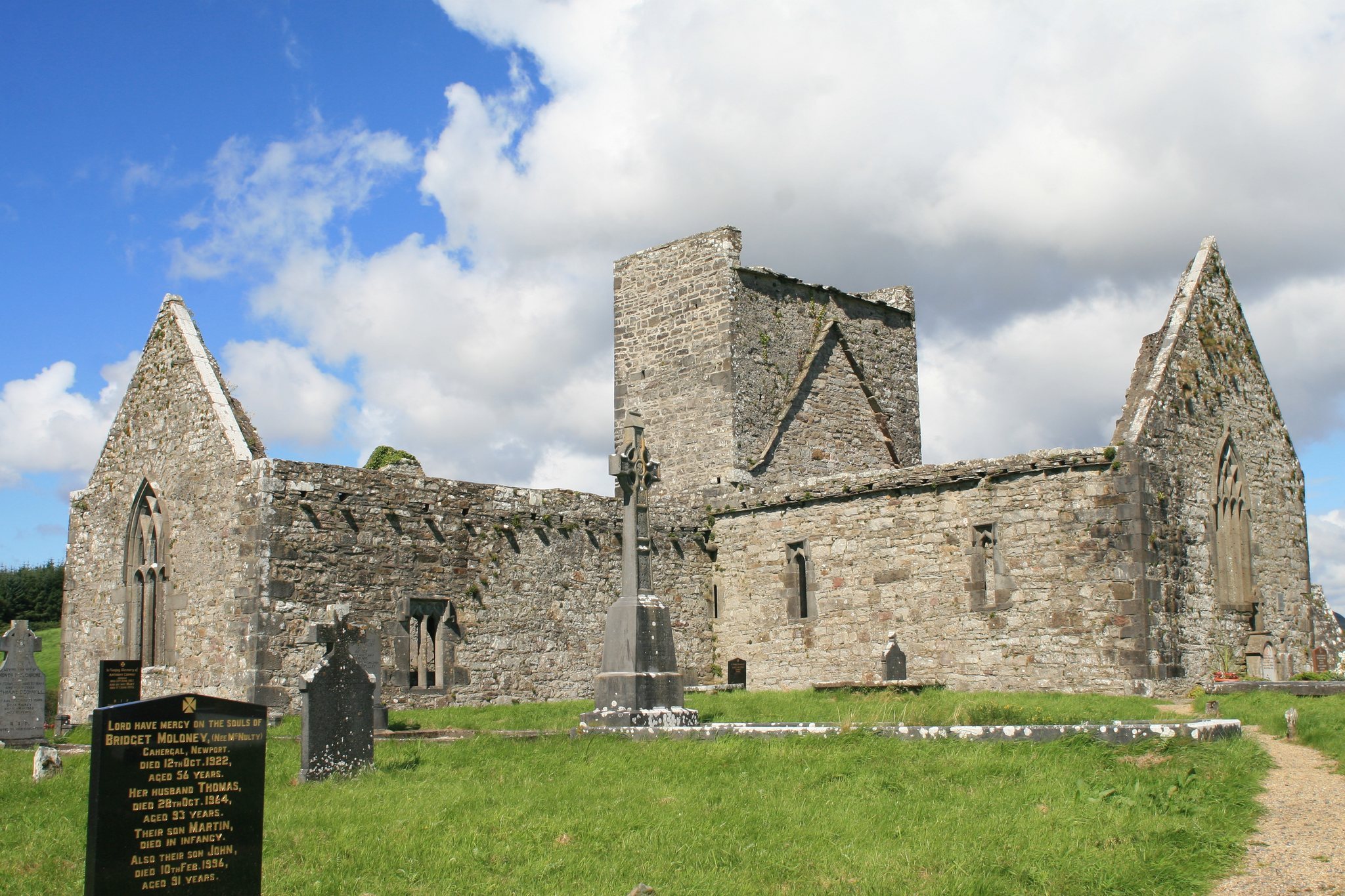
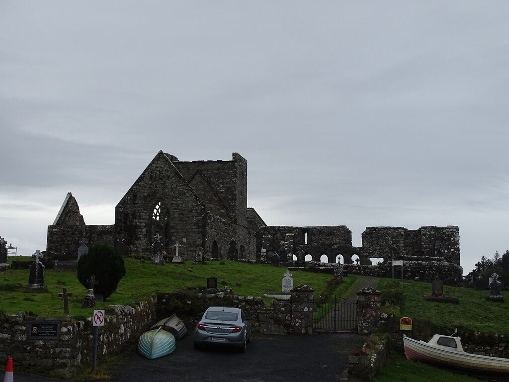
The friary stands on a small hill beside the Burrishoole Channel near Newport in County Mayo. The channel is a small sea inlet carrying water from Lough Feeagh and Furnace Lough to the Atlantic Ocean, creating a naturally sheltered harbor around the hill. Fishing in these sheltered waters was an important economic resource for the friary during its operation. The site also has extensive views towards the Mayo mountains, including Croagh Patrick to the south and the Nephin Beg range to the north.
Church
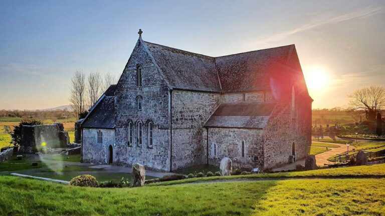
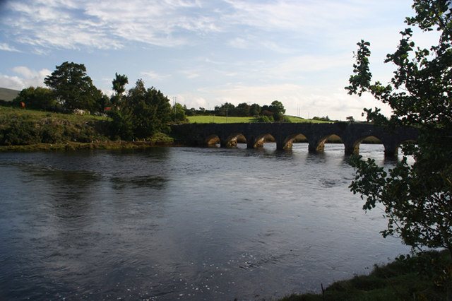
The ruined church remains the principal visible structure. It comprises a choir, a tower, a nave, and a southern transept, with the transept separated from the nave by two arcades. The tower is unusually low and differs from the usual architecture of Irish Dominican houses. Its form follows a Cistercian model, reflecting the relatively austere architectural traditions of that Catholic monastic order.
Garden and residential buildings
A monastic garden lies north of the church. The associated residential buildings around it have almost completely collapsed, while the eastern wall of the cloister survives. A cloister is a covered walkway enclosing an open courtyard or garden and usually linking the principal buildings of a religious house. The surviving wall therefore preserves part of the connection between the church, garden, and former residential complex.
Cemetery grounds
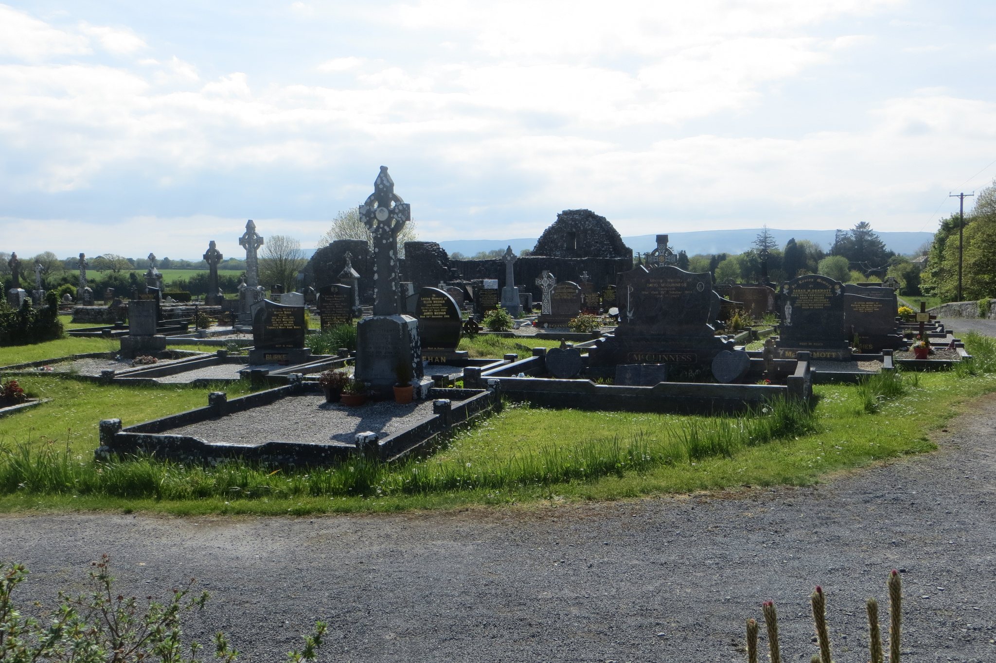
The friary grounds remain in active use as a cemetery. This later use forms part of the site’s surviving physical character, alongside the ruined church, the eastern cloister wall, and the remains of the former monastic complex.