Altes Haus: A Medieval Castle Site in Pommelsbrunn, Germany
Site at a Glance
- Popularity
- Very Low
- Country
- Germany
- Primary era
- Medieval
- Eras represented
- Medieval
- Civilizations
- Holy Roman Empire
- Site type
- Military
- Remains
- Castle
On this page9 sections
History
Altes Haus is a former castle site near Pommelsbrunn in Bavaria, Germany, probably built in the 13th century as a noble stronghold. Its precise standing within medieval society is uncertain. Pottery finds point to a date in the late 13th or early 14th century.
The castle may have protected an important old road nearby. A fief register, a record of property or rights held under the feudal system, mentions it in 1331, but the entry does not establish whether the castle was still standing. Ramparts outside the medieval enclosure have also prompted the suggestion that the castle occupied an earlier prehistoric fortification.
In 1594, cartographer Paul Pfinzing depicted clearly visible ruins, labelled the place as an old castle, and drew two towers.
Remains
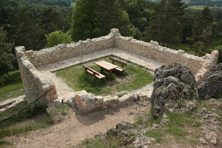
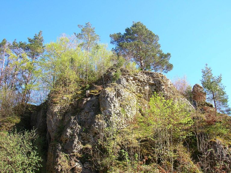
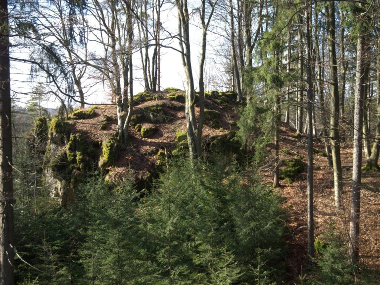
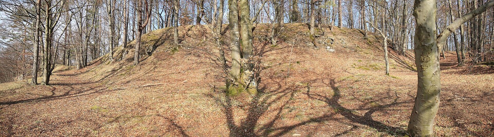
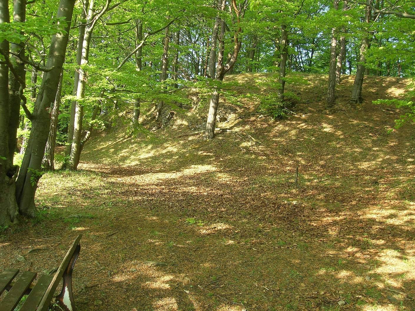
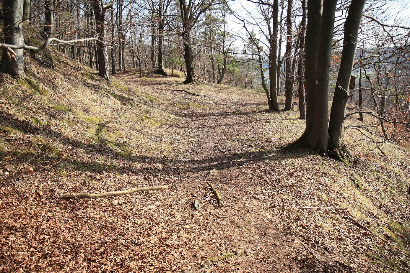
The wooded castle site occupies a spur summit shaped by steep slopes. Its earthworks outline a lower enclosure and a raised upper platform, while fragments of stone wall mark parts of the former defenses.
Setting and layout
The site lies on the Mühlkoppe, a 532.9-metre-high spur extending northwest from the 558.5-metre Lauberg, about 900 metres south-southeast of Pommelsbrunn’s church. The summit projects from the upland roughly 175 metres upstream from the meeting of the Arzloher Talbach and Högenbach. Its wooded, level plateau runs southeast to northwest. Steep slopes descend from its north, west, and east sides towards stream valleys, while the ground falls more gradually to the southeast. The castle covered an area of about 100 by 55 metres.
Lower and upper enclosures
Lower castle
The lower castle curved around the upper enclosure on its southern, western, and northern sides. On the north, it consisted of an outer defensive enclosure. Its wider southern and western parts contained buildings.
Upper platform
The upper castle stood on an oval, level platform about 20 by 50 metres, raised three metres above the lower enclosure. Its south, west, and north edges drop about three metres to the lower level; on the east, the ground descends steeply towards the Högenbach valley. A basin-shaped hollow in the platform’s northern half may mark the remains of a building.
Access and defensive remains
Cross-ditch and approach
Access to the upper castle probably crossed a small rocky rise thought to have supported a bridge. A ditch separated the rise from the platform. It measures about 20 metres long and two metres wide, with its bottom roughly 2.5 metres below the platform; the rocky rise is about 1.5 metres lower. A bridge or drawbridge once spanned the ditch.
Walls and entrance
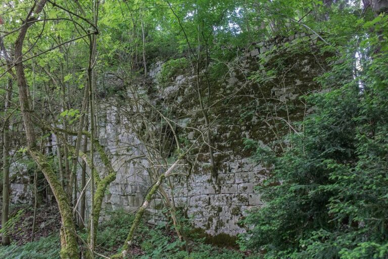
A collapsed stone-wall remnant on the southwest side, together with earthworks to the west, traces the former enclosing wall. A separate remnant on the south side of the upper castle may indicate that the platform also had a surrounding wall. The entrance was probably on the southwest side, possibly where the present approach reaches the site.