Burgrest Alt-Heiligenberg: Medieval Castle Ruins in Germany


Site at a Glance
- Rating
- 4.4
- Popularity
- Very Low
- Country
- Germany
- Primary era
- Medieval
- Eras represented
- Medieval
- Civilizations
- Holy Roman Empire
- Site type
- Military
- Remains
- Castle
On this page6 sections
History
Burgrest Alt-Heiligenberg, also known as Burg Berge, is a medieval castle ruin in Germany near Frickingen. Probably built in the twelfth century by the Counts of Heiligenberg, it became their seat and a political center for the Linzgau, a historical region around the northern and western shores of Lake Constance, and the County of Heiligenberg.
The Counts of Heiligenberg
The lineage of the Counts of Heiligenberg first appears in records between 1051 and 1069 through Heinrich de Sancto Monte. His name means “Heinrich of the Holy Mountain.” The castle itself is first documented in 1163, when a description mentions the nearby settlement of Berge and states that Konrad, bailiff of Constance, and his father, Count Heinrich, lived there. A bailiff was a medieval official who administered or represented a territory or institution.
Alt-Heiligenberg and Neu-Heiligenberg
Around the middle of the thirteenth century, the Counts of Heiligenberg built a second castle, Neu-Heiligenberg. A record from 1276 calls it the “new castle of the Holy Mountain.” Alt-Heiligenberg nevertheless continued to exist. It was still mentioned in 1307 and 1309 as the “old castle of the Holy Mountain.” Medieval and prehistoric pottery sherds, together with a Celtic socketed arrowhead, have also been found at the site.
Remains
Hilltop layout and defenses
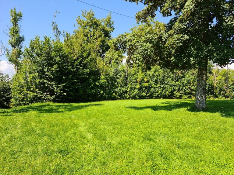
The ruin occupies a southwest-projecting spur above the Salemer Basin, where steep slopes fall away on three sides. The remains lie at an elevation of 726.7 metres above sea level, on the site of the present observation pavilion. The approximately triangular complex used the natural slopes for protection and was defended on its landward side by a deep neck ditch, a ditch cut across the connection between a projecting ridge and the surrounding ground. Foundations and ditches survive. Construction of Karl-Egon-Platz in the nineteenth century heavily disturbed the southeastern part of the ditch, although its line remains recognizable.
Outer bailey and tower mound
A further disturbed area beyond the neck ditch appears to have formed an outer bailey, or fortified outer courtyard. Immediately beyond it rises a tower mound that extends across the full width of the complex. The surviving tower remnant is roughly rectangular and funnel-shaped, about 15 metres wide, with exposed wall remains. Later paths now encircle the entire complex, preventing a precise reconstruction of its original form.
Nearby sites