Hohenburladingen Castle: A Medieval Hilltop Stronghold in Germany
Site at a Glance
- Popularity
- Very Low
- Country
- Germany
- Primary era
- Medieval
- Eras represented
- Medieval
- Civilizations
- Holy Roman Empire
- Site type
- Military
- Remains
- Castle
On this page10 sections
History
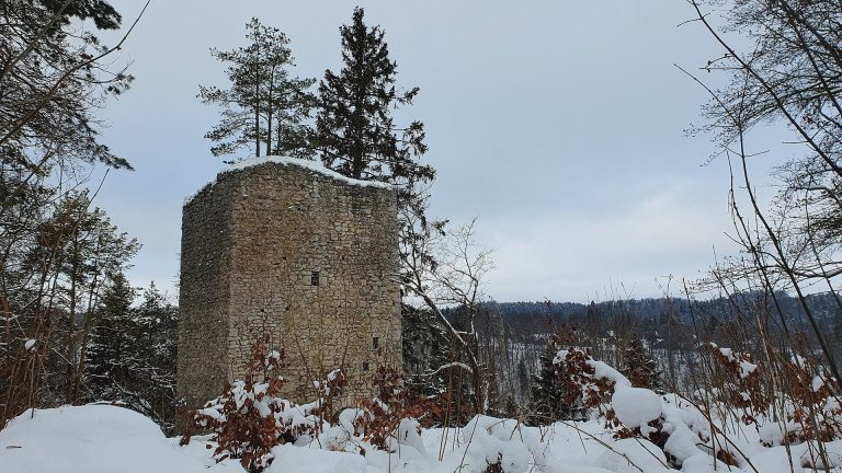
Hohenburladingen Castle stands on a spur about 500 metres north of Burladingen in Baden-Württemberg, Germany. It was probably built in the first half of the 12th century and may have belonged to the lords of Burladingen, a family of free nobles, or medieval aristocrats with free status. Maps identify the site as Hohenburladingen; Hochwacht is used for the hill and castle site, while Hochwart is an alternative name.
The lords of Burladingen
The family’s earlier castle stood in Burladingen near St George’s Church. Later, its members built several hilltop strongholds, including Hohenburladingen and the two Falkenburg castles about a kilometre to the east: Vordere Falkenburg, also called Großer Falken, and Hintere Falkenburg, also called Kleiner Falken. Azilun, about 2.5 kilometres to the west-northwest, may also have belonged to the family.
Pottery found on the surface supports the proposed 12th-century date. Konrad von Burladingen appears in a record from 1140. In 1174, Landold von Burladingen was described as a ministerial of Rechenau Monastery, meaning a member of the service nobility who served a lord in a dependent capacity.
Chapel and abandonment
A chapel dedicated to the apostles Peter and Paul and to John the Baptist was consecrated in 1185. It may have been the chapel at Hochwacht. The chapel and its altar were later destroyed during a feud, and its annual commemoration took place on the day after Midsummer’s St John’s Day, June 24.
The castle was probably abandoned around 1300, although the finds are also consistent with abandonment during the 14th century. The Burladingen family continued to feature in records afterward. In 1350, Konrad von Burladingen served Bologna, an independent Italian city-state. In 1363, Konrad and Hugo von Melchingen served Siena, another Italian city-state, as cavalry leaders at the Battle of Torrita.
Remains
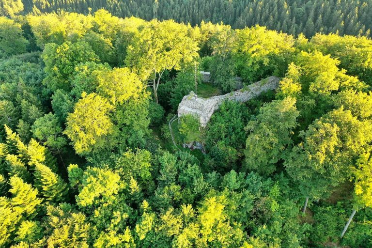
The ruins occupy a compact area measuring at most about 50 by 25 metres, divided into four parts. The likely residential building stood at the eastern tip, the tower to the south, and a courtyard to the north; a terrace-like ledge lay along the western side. The surviving remains combine stonework with clues to timber construction.
Terrain and approach
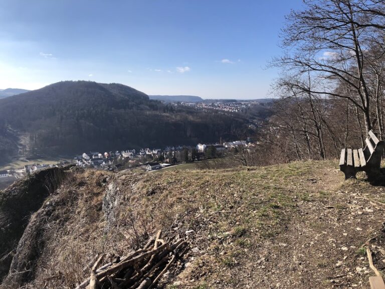
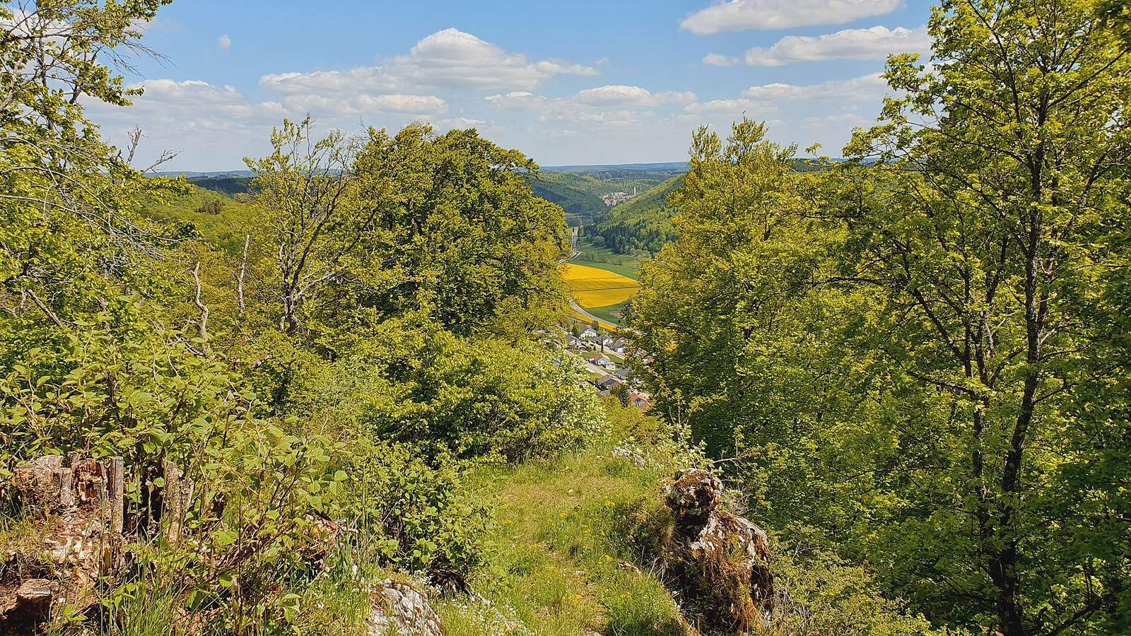
The spur, at 895.4 metres above sea level, projects east from a plateau toward the Fehla valley and a smaller side valley. A ravine running north to south toward the Fehla bounds the plateau on the east. The southern slope is steep, and a sheer rock face protects the eastern side. On the west, the approach crosses a saddle about 25 metres below the castle area. A small rocky terrace lies just north of the summit, where the former entrance probably crossed before reaching the complex near the residential area at the spur tip.
Buildings and enclosure
Western boundary
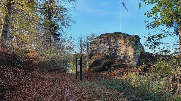
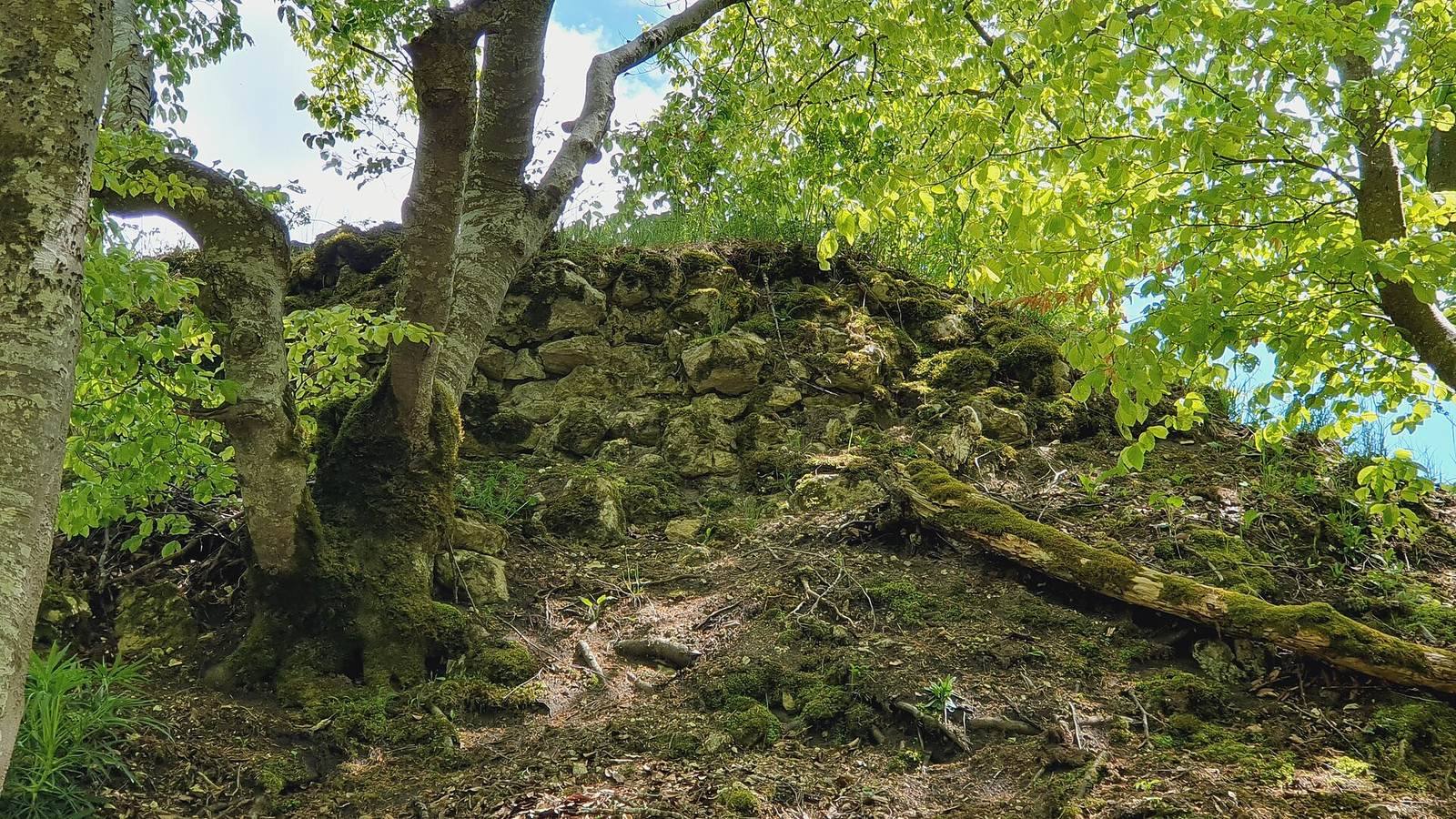
A semicircular bank of stone marks the outward-facing western edge of the castle area. It is probably the surviving trace of a polygonal curtain wall, a defensive wall enclosing the castle.
Residential area and courtyard
A level area on the north may have served as the courtyard. A larger flat space at the end of the spur probably held the palas, the castle’s principal residential building. Clay fragments from this area suggest a timber structure with wattle-and-daub walls made from woven branches coated with clay.
Keep
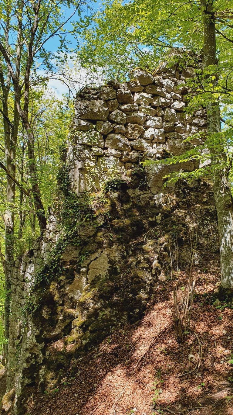
The square keep, a prominent defensive tower not necessarily intended as a permanent residence, stood at the spur’s highest point, midway along its southern side. Each side measured about 6.5 metres. Its surviving masonry core rises about 1.5 metres, and ashlar, or finely cut stone blocks, remains alongside smaller blocks on the north-facing outer surface.
Rock features and cave
Kreuzfelsen lies within the castle grounds. Farther east, beside a rockfall, Höllensteinhöhle extends about 34 metres. Finds from the cave date to the Celtic period.