Bishapur: A Sasanian Royal City in Iran
Site at a Glance
- Rating
- 4.6
- Popularity
- Low
- Country
- Iran
- Primary era
- Classical
- Eras represented
- Bronze Age, Classical, Medieval
- Civilizations
- Elamite, Sassanid
- Site type
- City
On this page25 sections
History
Bishapur is an ancient Sasanian city in Iran, founded by Shapur I in AD 266 in the architectural and political tradition of the Sasanian Empire. It was established after the Sasanian victory over Rome and the capture of the Roman emperor Valerian at the Battle of Edessa. Named after Shapur, the city became one of the empire’s capitals and the administrative center of Shapur-Khwarrah.
Earlier settlements and Sasanian foundation
Bishapur was built on the site of an earlier settlement called Din-Della, which tradition attributed to the legendary ruler Tahmuras. The settlement prospered during the Achaemenid period before being destroyed during Alexander the Great’s invasion. Archaeological evidence also indicates earlier Elamite and Parthian occupation.
Apasa of Harran was chosen as the city’s architect. The plan followed Greek or Hippodamian principles, meaning that regularly intersecting streets formed a grid. Roman prisoners, engineers, and architects took part in the construction, helping to combine Roman influences with Sasanian and Achaemenid traditions. Bishapur was intended to commemorate the defeat of Rome and to rival prosperous eastern Roman cities such as Antioch and Byzantium.
The city remained an important political and administrative center until the Arab conquest of Persia. At its height, its population has been estimated at between 50,000 and 80,000 inhabitants. Shapur I died at Bishapur in AD 270, and the city was the birthplace of his successors Hormizd I and Bahram I. Valerian lived under supervision in a palace built for him at Bishapur. He may also have died there, although that remains uncertain.
Conquest and continued resistance
The Arab conquest of Bishapur involved prolonged local resistance. In AD 638, Umar assigned Mujashi ibn Masud to conquer Shapur-Khwarrah. In AD 643, the inhabitants declared independence from the Rashidun Caliphate, the early Islamic state ruled by the first caliphs, under the leadership of the brother of the Sasanian noble Shahrag. Uthman ibn Abi al-As reconquered the city after the Battle of Bishapur and a siege.
The inhabitants rebelled again in AD 646, and Uthman returned with the assistance of Abu Musa al-Ashari. Further resistance in AD 687 was suppressed by Umar ibn Ubayd Allah ibn Ma’mar. In AD 702, people from Shapur-Khwarrah joined the rebellion of Abd al-Rahman ibn Muhammad ibn al-Ashath against Al-Hajjaj ibn Yusuf. After the rebels were defeated, the region returned to Umayyad control.
Buyid revival and later abandonment
Bishapur gradually declined during the eighth and ninth centuries as inhabitants moved to Kazerun and nearby settlements. In the tenth century, Rukn al-Dawla captured the region after defeating the governor Yaqut. The Buyid dynasty, an Iranian ruling house that controlled much of western and southern Iran and Iraq, attempted to revive Bishapur alongside Kazerun. Coins minted at the city indicate a period of renewed prosperity.
Bishapur declined again during the latter part of the tenth century. Under the Seljuks, Fars was administered by the Shabankara rulers. Abu Said Shabankara burned and razed Bishapur, after which a major earthquake caused further destruction. By the early twelfth century, the city had largely been abandoned in favor of Kazerun. Sultan Muhammad Saljuqi is associated with an order to abandon Bishapur in 1108.
Excavation and heritage protection
Bishapur was registered as one of Iran’s first national heritage sites in 1931. Initial excavations took place between 1933 and 1940 under Georges Salles and Roman Ghirshman, representatives of the Louvre Museum. Their work uncovered palaces, a temple, and a commemorative monument, and produced a French-language study of the city. Excavations were interrupted by the outbreak of the Second World War.
Many objects from the early excavations were transferred to the Louvre, while others went to the Museum of Ancient Iran. About 28 years later, an Iranian archaeological team directed by Ali Akbar Sarfaraz excavated, repaired, and restored parts of the site. The work cleared sections of the city walls and exposed the Temple of Anahita, the Ceremonial Hall, the Mosaic Iwan, the Valerian Palace, ritual installations, and Islamic buildings. Another excavation phase took place in 1995. A campaign announced in 2025 focused on the Valerian Palace.
Only about three percent of Bishapur has been excavated, while approximately 97 percent remains buried. The wider archaeological landscape includes the ancient city, the Tang-e Chowgan gorge, and the Shapur Cave. Bishapur stood beside the Shapur River and the Chowgan Valley near the route between Istakhr and Ctesiphon. The valley and gorge provided a sheltered setting for the city and its surrounding herds.
Bishapur was inscribed in 2018 as part of the Sasanian Archaeological Landscape of the Fars Region on the UNESCO World Heritage List. Its religious identity centered on the worship of Anahita, an Iranian water goddess associated with fertility, purification, and royal legitimacy. Historical descriptions also mention two fire temples called Sasan and Gonbad-e Golshan. During the Buyid period, Islamic religious buildings were added to the city.
Remains
City plan and defenses
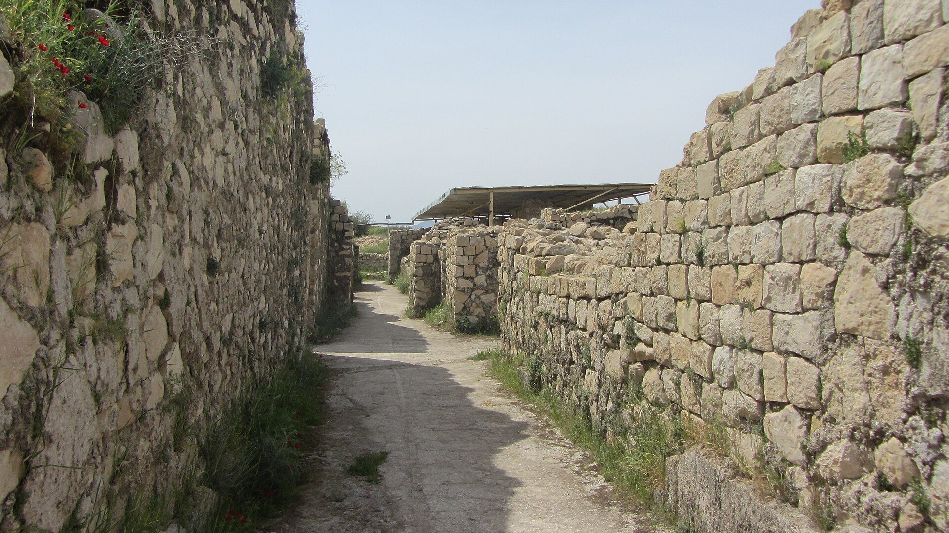
Bishapur covered approximately 194 to 200 hectares. Its rectangular plan was about two kilometers long and one kilometer wide, with principal streets crossing at right angles near the center. One street ran north to south and the other east to west. Four gates stood at the ends of these streets, traditionally named Hormoz, Mehr, Bahram, and Shahr. The western gate served as the main entrance.
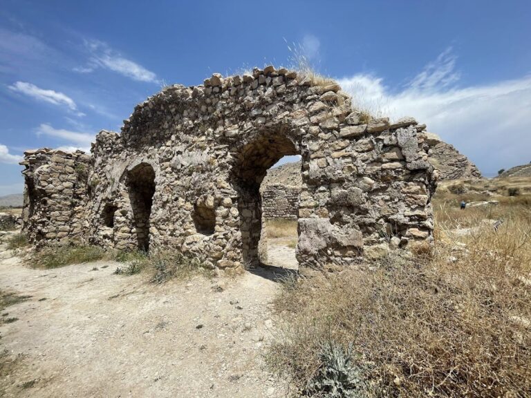
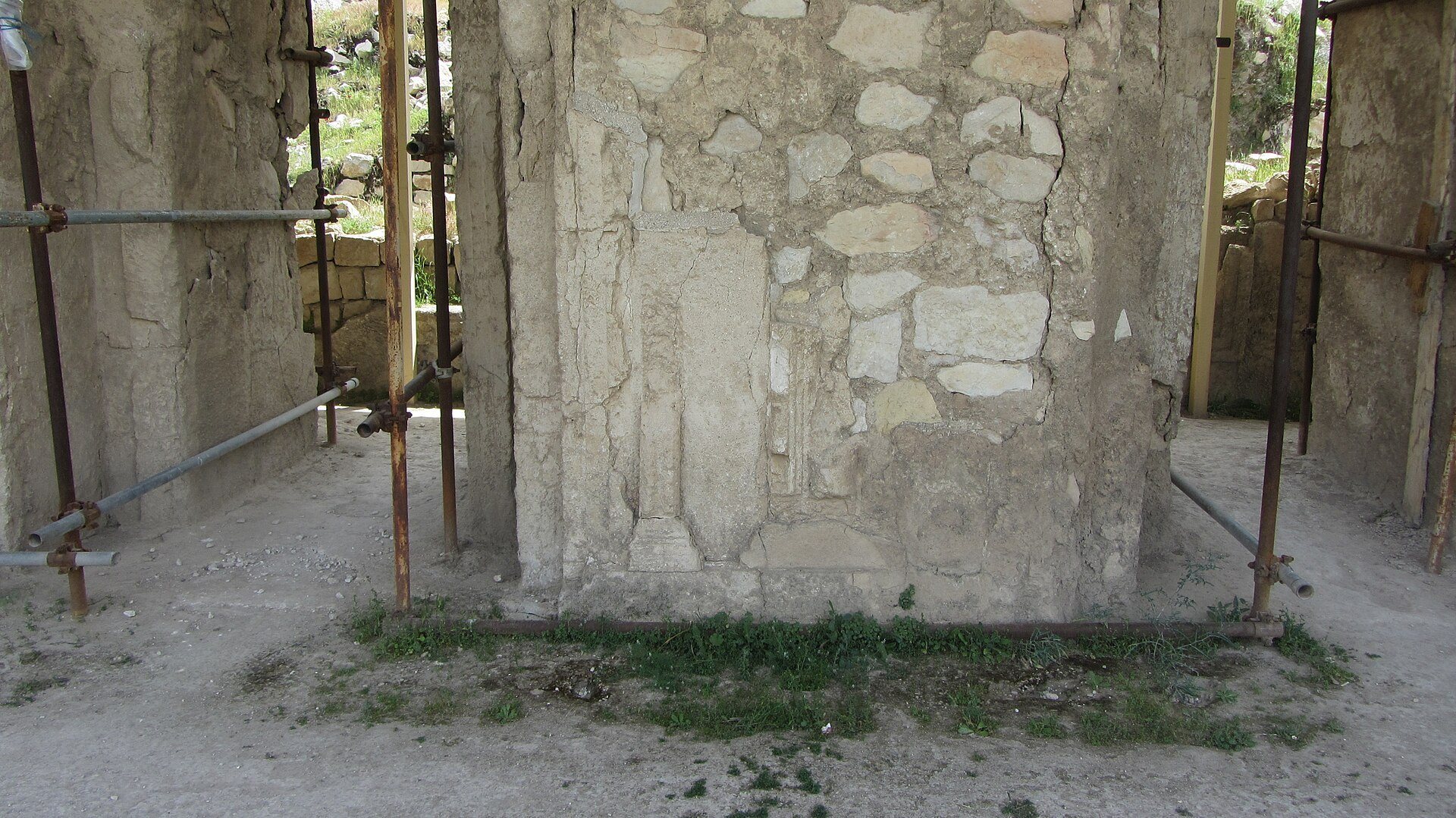
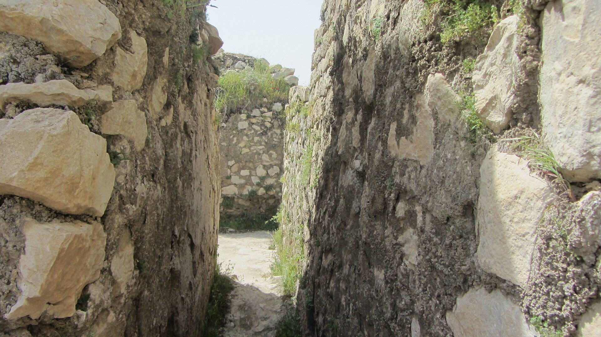
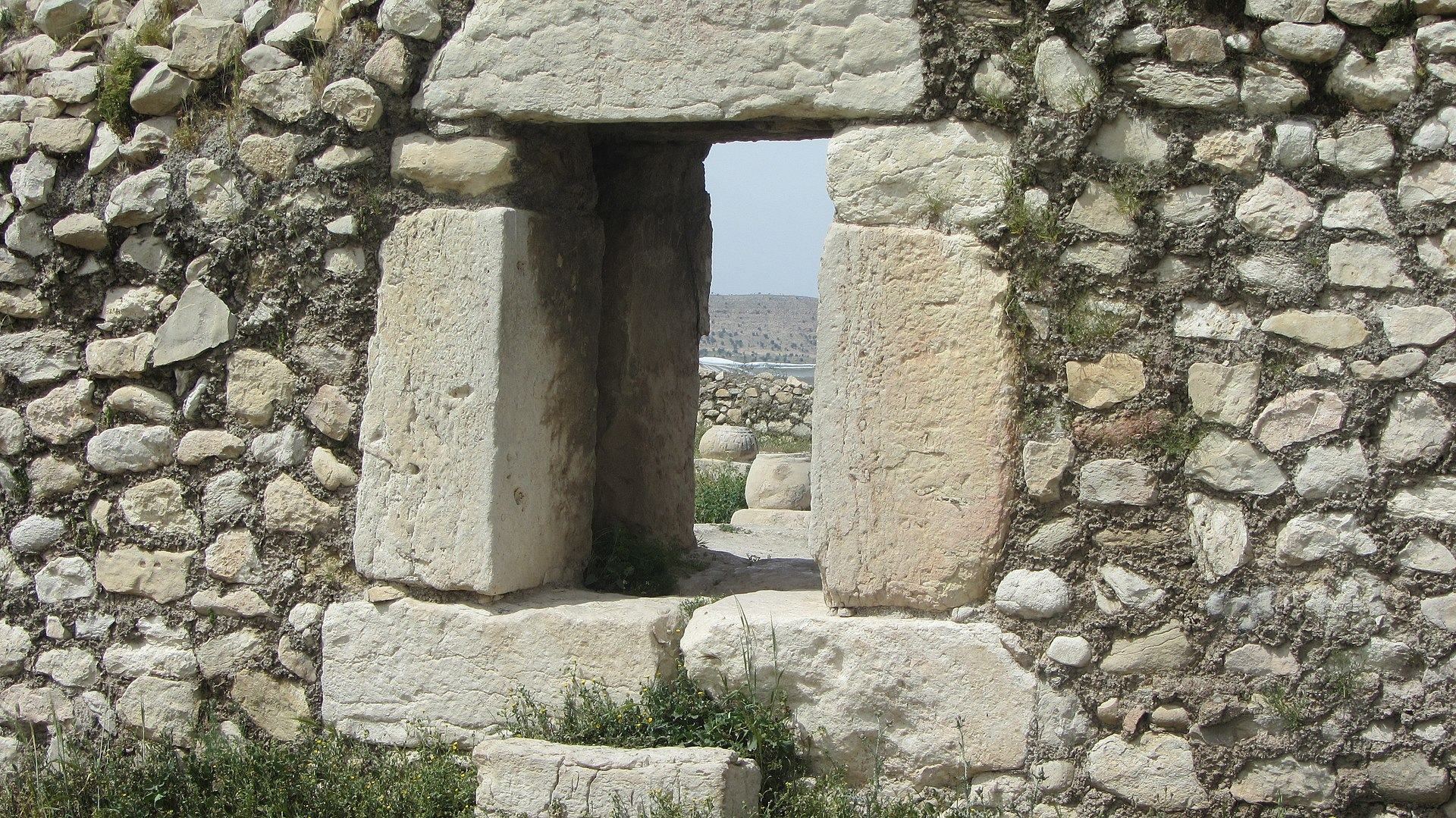
The city was divided into a royal citadel and a common urban district containing houses, a bathhouse, a caravanserai, and a market. Mountains enclosed the north, the Shapur River protected the west, and defensive walls and a moat guarded the city along the south and east. Palaces, temples, audience halls, iwans, streets, and alleys occupied the planned urban area. Their decoration included stucco, mosaics, carved capitals, and reliefs.
Qal’eh Dokhtar
Qal’eh Dokhtar, also called the Fire Temple Tower, stands on a mountain overlooking Bishapur and the Azhdaha Valley. It formed part of the defensive system and provided a position from which the city and its surroundings could be observed. Its surviving remains include tower foundations and largely collapsed walls that once reached about ten meters in height.
The structure’s function remains uncertain. It has been interpreted either as a place for exposing corpses according to Zoroastrian funerary practice or as a watchtower and fire-signal station. The latter interpretation involves a continuously burning fire used to transmit messages.
Religious and ceremonial buildings
Temple of Anahita
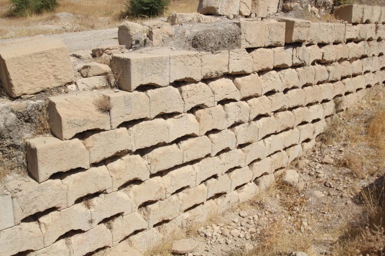
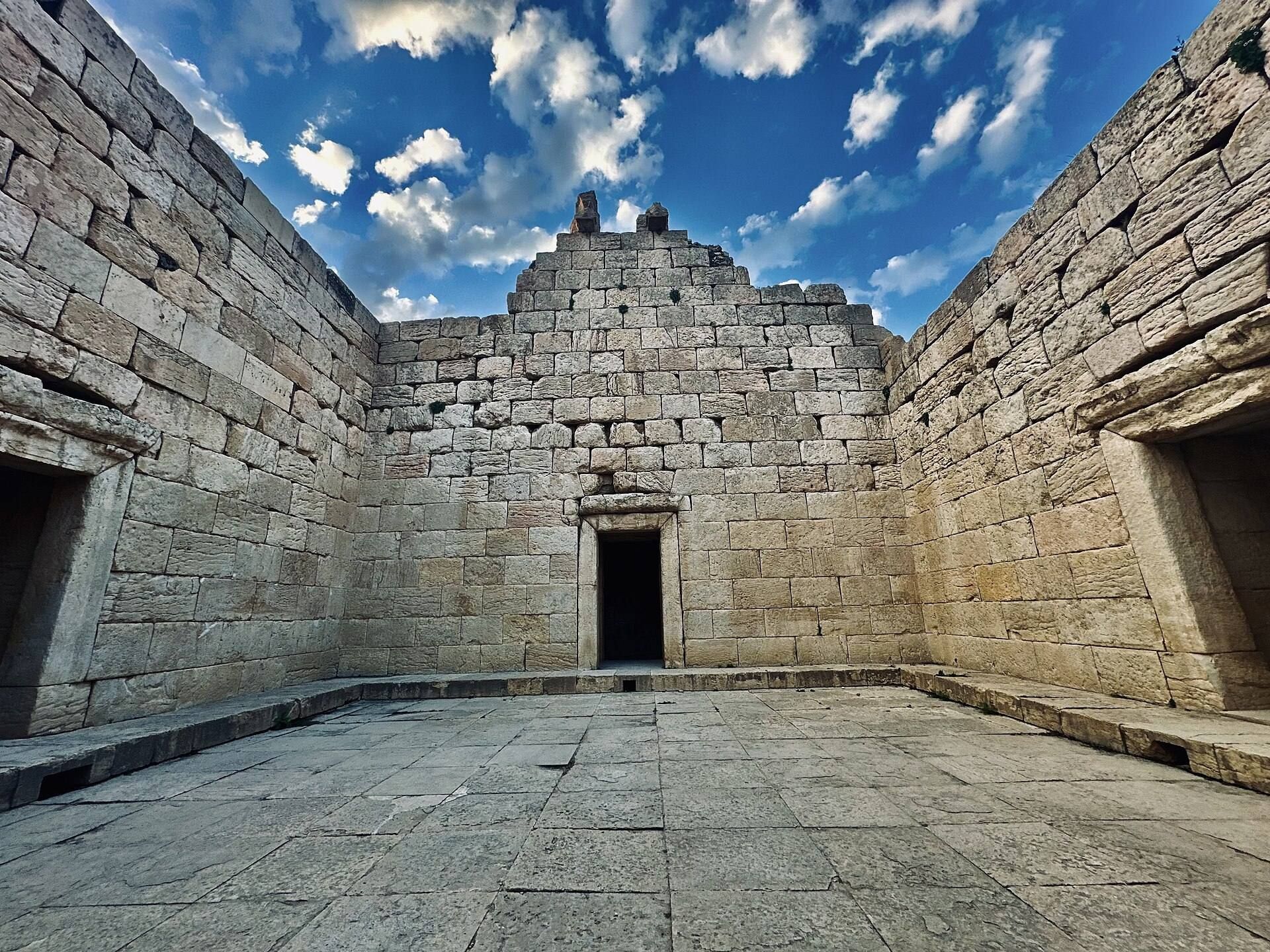
The Temple of Anahita is a nearly square structure, approximately 14 meters on each side. Its double walls were built from stones of different sizes without mortar and joined with iron fasteners. The construction reflects Achaemenid architectural traditions and resembles the temple at Hatra.
Four side vestibules were about 3.57 meters high and 1.60 meters wide. Four paired bull protomes, or frontal animal figures used as architectural decoration and support, stood above the walls. Two remain visible on the northern side. The temple had neither a roof nor a dome.
The building stood about six meters below the surrounding ground level in an excavated area measuring approximately 27 by 23 by 7 meters. Its design incorporated water from the Shapur River, which flows about 250 meters away. Water-distributing stones, channels, an intake area, and a central courtyard controlled the flow through the eastern and western corridors. One channel was about six centimeters deep.
The water system indicates that circulation and ritual engagement with water were central to the building’s use. The structure is generally identified as a temple of Anahita, although interpretations involving Mithra or a fire temple have also been proposed. A nearby Islamic building contained a fire altar that may have come from the temple.
Ceremonial Hall
The Ceremonial Hall, or reception hall of Shapur I, covered approximately 781 square meters and originally rose about 23 meters. Its cruciform plan, sometimes called an Iranian or Aryan cross, became an influential Sasanian design later associated with fire temples and Islamic buildings using four iwans around a courtyard.
Four symmetrical iwans faced one another around a central square measuring approximately 23 by 23 meters. The hall had a large domed or parabolic roof. The northern iwan measured about nine meters long and seven meters wide and opened into a corridor through a doorway. Decorated niches were set into the iwans and surrounding walls, including four stuccoed and painted niches beside the northern doorway and 64 decorative niches around the hall.
Corridors surrounded the hall. The western corridor led toward the Temple of Anahita, the southern corridor toward the Mosaic Iwan, and the northern corridor toward an open space or promenade.
Mosaic Iwan complex
The Mosaic Iwan complex consisted of two iwans at the ends of the Ceremonial Hall’s eastern and western corridors. Their floors were covered with colored stone mosaics showing human faces, human figures, and plants, while their roofs had crescent-shaped arches.
The iwans overlooked a rectangular courtyard approximately 23 by 20 meters. Columns in the courtyard carried carved human and vegetal motifs. The complex served as the private and inner residential area of Shapur I.
Royal palaces and commemorative monuments
Valerian Palace
The Valerian Palace was built in AD 266 near Shapur’s governmental palace for the Roman emperor captured after the Battle of Edessa. The octagonal building stood approximately 150 meters from the Ceremonial Hall. Its inner walls used carved stones about 70 by 45 centimeters, while the outer surfaces were coated with white plaster, giving it the appearance of a white palace.
Some stones carry Sasanian royal symbols, and the building was richly decorated with reliefs and carvings. The palace remains a focus of archaeological excavation.
Palace complex
The principal palace complex includes a large building conventionally called Building B and commonly identified as the Palace of Shapur I. Its central throne hall followed a square four-iwan plan, approximately 22 meters on each side, with iwans about seven meters deep.
The roof remains uncertain. One interpretation proposes a single dome approximately 20 meters in diameter. Another suggests four half-vaults surrounding an open square, because the walls may not have supported a dome of that size. The walls contained 64 niches, some retaining traces of red, yellow, and black stucco. The paved floor included brick decoration associated with third-century Antiochene styles. A triple iwan added at the end of the Sasanian period opened eastward onto a paved courtyard.
The eastern courtyard and adjoining rooms, known as Building D, contained mosaics probably made by artisans from Antioch captured by Shapur. Their techniques and motifs were Roman, while their overall arrangement was Iranian. Some mosaics are preserved in the Louvre and the National Archaeological Museum of Tehran. A mosaic depicting a charging rider is displayed in the Bishapur Museum.
Buildings A and C
Building C, a smaller palace opening onto the eastern courtyard of the main palace, contains two niches resembling features at the palaces of Darius and Xerxes at Persepolis. Its facade was decorated with reliefs of charging cavalry and may have been connected with Shapur’s victory over Rome and Valerian’s captivity.
Building A, west of the main palace, is a temple or shrine whose surviving wall reaches approximately 15 meters. It stands below the palace and is reached by a stairway covered by a well-preserved barrel vault. The building follows an Iranian plan, with a square room opening through four doors onto a surrounding corridor. Its walls contain rubble faced with large, finely polished stones held by steel clamps.
The roof was probably flat rather than domed and was supported by beams resting on four paired bull protomes. Two protomes remain in place, while another well-preserved example lies nearby. Channels and a deep basin indicate a water-related cult. A nearby small square contains the bases of two collapsed columns and two smaller bases, possibly associated with a lintel and fire altars. One column carried an inscription by Apasa describing the construction of the monument in AD 266 and the creation of a statue of Shapur, which is now lost.
Commemorative columns
Two stone columns once stood on the western side of the north-south street, approximately 525 meters from the Temple of Anahita. They were about 37 meters high, with bases roughly 70 centimeters in diameter and upper sections about 60 centimeters across. Both had elaborate capitals.
A statue of Shapur I stood on one column. The other carried an inscription recording the foundation of Bishapur in Parthian and Sasanian Middle Persian scripts. The text names Apasa of Harran as responsible for the monument and describes rewards of gold, silver, a garden, and a temple or sanctuary granted to him by Shapur. Religious ceremonies took place at the foot of the columns, which therefore had both sacred and commemorative functions.
Islamic buildings
Buyid mosque and religious school
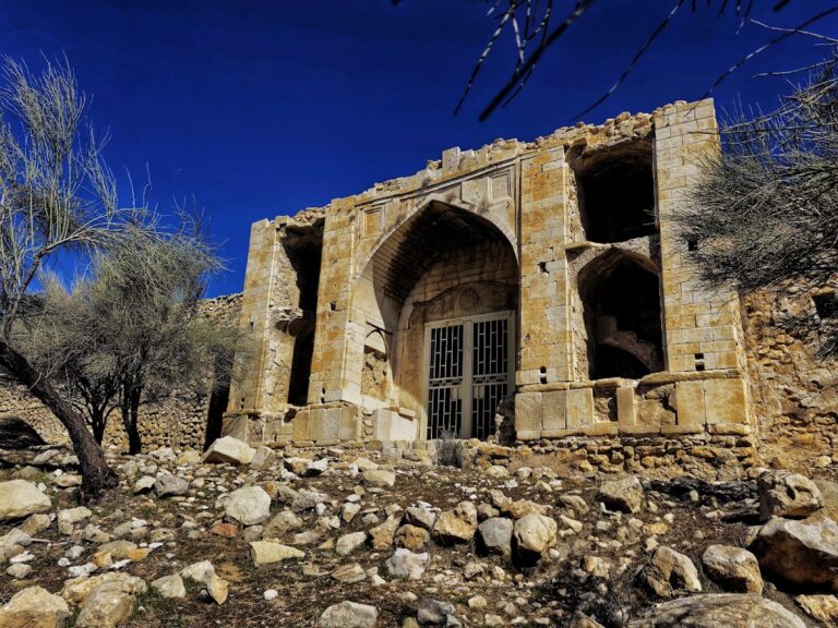
The remains of a Buyid-period mosque and religious school lie in the northern part of Bishapur. After a major earthquake, the building was transformed into a four-iwan plan around an open space approximately 11.7 meters long. Six shaped column bases stood on carved and decorated cubic bases.
The complex included symmetrical iwans, stone column bases, two rooms beside the western iwan, seating platforms in the northern and southern iwans, a prayer hall, a minaret area, and a mihrab beside the western iwan. The mihrab area measured about 2.5 by 2 meters. The southern iwan stood approximately 50 centimeters above the others and was reached by a step about 30 by 65 centimeters and 25 centimeters high.
Stone column bases in the courtyard carried Quranic inscriptions combined with floral and vegetal motifs. The school had two courtyards, the larger intended for men and the smaller for women. Other excavated Islamic structures include a water reservoir, a press, paved streets, and additional buildings.
Tang-e Chowgan rock reliefs
The Tang-e Chowgan gorge north of Bishapur contains six Sasanian rock reliefs carved into cliffs beside the Shapur River. The reliefs date from the third and fourth centuries. Two are on the eastern cliff and four on the western cliff. Several suffered severe damage from water flowing through a rock-cut aqueduct.
Reliefs of Shapur I
The first relief depicts the investiture of Shapur I. Ahura Mazda, the supreme deity of Zoroastrianism, presents the king with the ring of power. The horses of Ahura Mazda and Shapur trample Ahriman and Gordian III, while Philip the Arab kneels in submission. The panel is approximately ten meters long and is now damaged.
The second relief shows Shapur as a victorious mounted ruler over Gordian III. Philip the Arab kneels before him, while a Roman figure identified either as Valerian or Cyriades is held by the king. Soldiers, officers, tribute, and attendants fill the composition. The panel is about 13.5 meters long and five meters high.
The third relief presents Shapur’s three victories over Rome in five horizontal bands. It includes Gordian III, Philip the Arab, Valerian or Cyriades, cavalry, infantry, dignitaries, and Roman tribute. The aqueduct also damaged this relief.
Reliefs of later Sasanian rulers
The fourth relief dates to the reign of Bahram II and shows him receiving an Arab delegation accompanied by a dromedary and a horse. It has been damaged by water erosion.
The fifth relief depicts the investiture of Bahram I by Ahura Mazda. The fallen enemy figure may have been added later, possibly during the reign of Narseh. The accompanying inscription also appears to have been altered to include Narseh’s name.
The sixth relief shows Shapur II receiving prisoners. Its subject remains uncertain. It has been interpreted either as a victory over Indians or Kushans or as the suppression of a revolt. The scene includes the enthroned king, prisoners, officials, warriors, an executioner holding severed heads, and an elephant. The relief appears to have been intended for a plaster finish using a technique associated with Kushan art.
Shapur Cave and museum collections
Shapur Cave
Shapur Cave lies approximately five kilometers east of Bishapur, above the Shapur Valley beyond the Chowgan Gorge. Its first chamber is about 13 meters high, and the cave contains corridors, rooms, and water reservoirs. Its original function is unknown. It has often been proposed as a possible tomb for Shapur I, but no evidence confirms that he was buried there.
A statue of Shapur I was carved from a natural pillar inside the cave. More than seven meters high, with shoulders about two meters wide, it is a rare example of Sasanian sculpture in the round rather than in high relief.
The statue was severely damaged, but the cause is uncertain. Proposed explanations include damage during a twentieth-century earthquake, destruction during the Arab conquest, and later damage by villagers. It was restored in 1957 under the direction of the military authorities of Shiraz, with missing parts replaced in concrete. The restored statue was placed near the cave entrance rather than returned to its original position at the rear of the first chamber. The entrance was enlarged from approximately 16 meters to 20 meters wide and five meters high, and a route to the cave was constructed.
Bishapur Museum
The Bishapur Museum contains objects excavated at Bishapur and in the Kazerun area, including tools, vessels, pottery, jars, and other material from different periods of occupation. Some mosaics and other excavated objects are held elsewhere, including in the Louvre and the National Archaeological Museum of Tehran.