Baroque Fortifications in the Black Forest: A Defensive Network in Germany
Site at a Glance
- Popularity
- High
- Country
- Germany
- Primary era
- Early Modern
- Eras represented
- Medieval, Early Modern
- Civilizations
- Holy Roman Empire
- Site type
- Military
- Remains
- Fort
On this page17 sections
History
Early works and the threat from France
The Baroque fortifications in the Black Forest are a network of earthworks in Germany, built from the seventeenth century to defend the Margraviate of Baden, a historic territory in southwestern Germany, against French incursions. Some positions date to the Thirty Years’ War, the major European conflict fought from 1618 to 1648. Others incorporated older defenses, including fortifications from the late Middle Ages. Local inhabitants were compelled to build the works, with soldiers also employed in later years.
The Schwedenschanze at Zuflucht was constructed in 1632–1633 and designed to hold a crew of 400 to 500. The Rothausschanze, west of Murg, also originated during the Thirty Years’ War. In the late seventeenth century, a defensive line was built in the Wagensteig Valley near Kirchzarten.
Louis William’s defensive network
Construction took place amid conflicts between France and the Habsburg dynasty, whose members ruled the Holy Roman Empire and other territories. The War of the Palatine Succession and the War of the Spanish Succession, major European wars of the late seventeenth and early eighteenth centuries, formed part of this wider struggle. After the events of 1689, including the destruction of Heidelberg Castle, Margrave Louis William of Baden-Baden received an imperial order to defend Germany against the French advance. A margrave was a noble title held by rulers of certain German territories.
Louis William, nicknamed “Turkish Louis” for his service in the Great Turkish War, a conflict between the Ottoman Empire and a European coalition that included the Habsburg monarchy, directed the construction of linked earthworks along the Upper Rhine from 1692 to 1701. The fixed positions could be strengthened rapidly with additional earthworks.
Lines, battles, and changing military use
Between Bad Säckingen and Feldberg, the defenses included an older Rear Line, dating to the 1680s and 1690s, and a newer Forward Line. The Rothausschanze marked the southern end of the system. In the Wagensteig Valley, fighting near Breitnau took place in 1690. At the northern Hohle Graben position, more than 4,000 men camped in 1679, and isolated engagements followed in later years. Construction there continued as late as 1734, while a final battle in 1796 brought its military importance to an end.
Positions along the Kinzig Valley guarded a major route across the Black Forest as well as subsidiary roads. Another group of earthworks on the watershed between the Elz and Gutach protected a crossing toward Hornberg. A further line guarded the road from Oberprechtal to Gutach im Breisgau, now followed by the L107.
In the north, the Black Forest defenses connected with the Eppingen lines, constructed between 1695 and 1697. Toward the end of the seventeenth century, after France built Fort Louis on the Rhine north of Strasbourg, Louis William ordered the Bühl-Stollhofen Line. It ran from the fort across the Baden Rhine Plain to the Black Forest. The line was destroyed in 1707 and replaced by the Ettlingen Line. By the early eighteenth century, most positions had largely lost their military importance.
Archaeological discoveries
By 2002, only about six to eight positions were known from published inventories. Work by Minifossi, a school archaeology group at Friedrich Ebert School in Schopfheim, brought many more to light, and more than 100 are now known. The inventory continues to develop. In February 2016, the Holder Schanze was discovered on the Hau pass route between Böllen and Neuenweg.
Remains
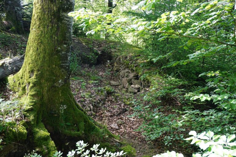
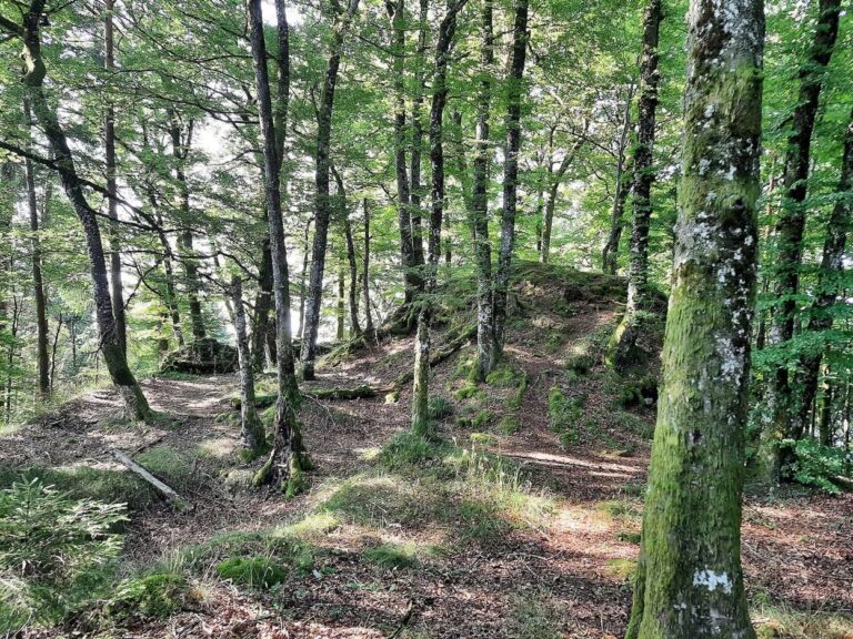
The connected earthworks and adjoining defensive lines extended for more than 200 kilometres from the High Rhine in the south to Heidelberg in the north. Their positions guarded routes and crossings through the Black Forest. Some earthworks remain visible, while elsewhere their traces survive archaeologically.
Neuenweg and the Hau Pass
Böllener Eck earthworks
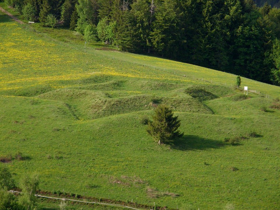
Near Neuenweg, well-preserved positions of the Forward Line include a five-pointed star-shaped earthwork about 30 metres across and a square redoubt, a separately enclosed defensive position, measuring 20 metres on each side. Ditches around the star-shaped work remain about 2 to 3 metres deep. A ditch and bank mark the line between the two positions and continue southward. Here, the defenses partly follow the late-medieval Landhag, a fortified boundary barrier.
Holder Schanze
The Holder Schanze is a linear earthwork on the Hau pass between Böllen and Neuenweg. It measures 120 metres long and 30 metres wide. Together with three other positions, it forms a self-contained, all-round defensive installation.
Neuenweg church epitaph
An epitaph on the east side of Neuenweg church commemorates Johann Marckloffksy von Zabrak, a fortification commander who died in 1691.
Valley lines and crossings
Wagensteig Valley and Hohle Graben
The Wagensteig Valley line ran north from above the Höllental Valley to the Hohle Graben. Its positions included redoubts, banks, and ditches. The Hohle Graben earthwork, built before 1638, is the largest in the system.
Kinzig Valley routes
Kinzig Valley positions lay near the river and along subsidiary roads. The line on the Elz–Gutach watershed began west of the Rensberg and continued east across the Schnallenkopf and Ziegelkopf toward Hornberg. Another extended over the Horniskopf and Höchst to the Scheibeneck. These positions formed part of the defenses protecting routes through the valley.
Individual fortifications
Schwedenschanze at Zuflucht
The Schwedenschanze had a square plan, with projecting defensive earthworks at its corners.
Rothausschanze
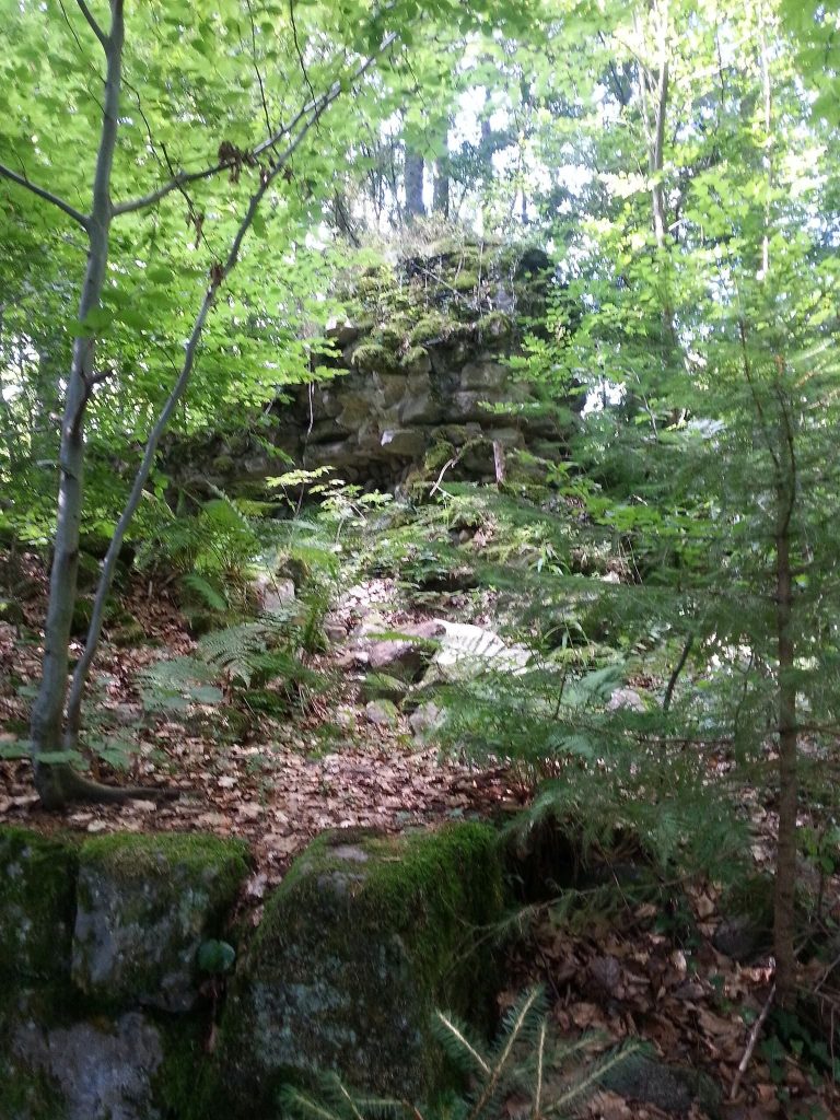
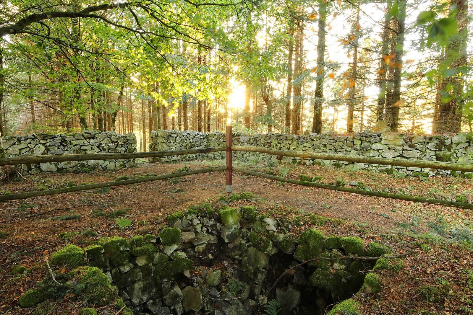
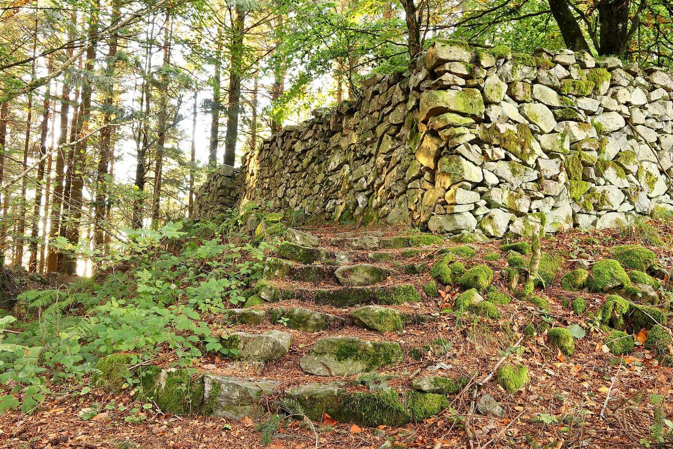
Excavation and geophysical survey during construction of the A98 motorway in 2007 examined the Rothausschanze. They established that its redoubt had a ditch 8.3 metres wide and at least 3.6 metres deep. A mortarless defensive stone wall, about 2 metres thick, lined the ditch’s inner sides.
Preservation and reconstruction
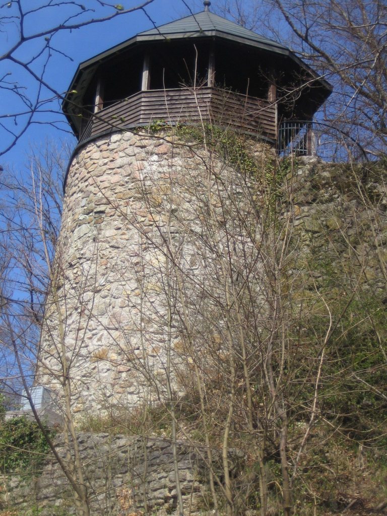
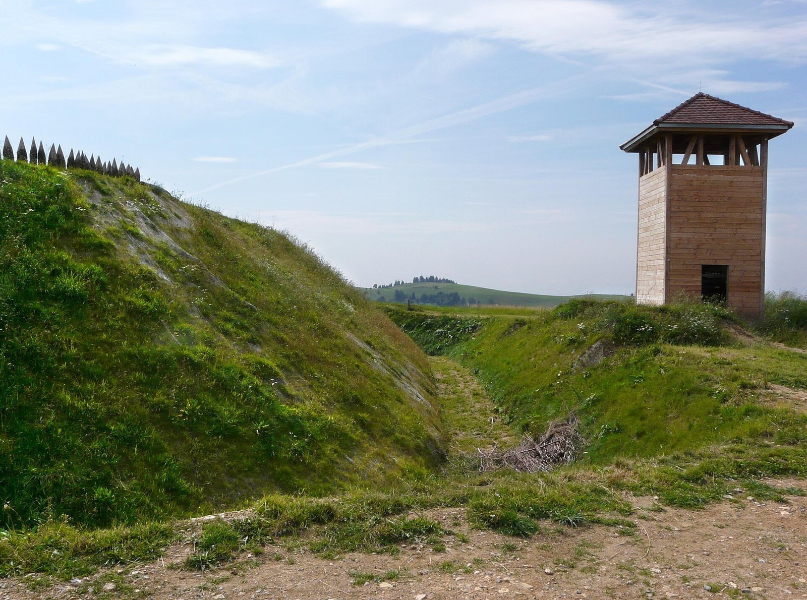
The Gersbach-Mettlen position, near the point where the Forward and Rear Lines divide, has been reconstructed.