Augusta Bagiennorum: Roman City Archaeological Area in Italy


Site at a Glance
- Rating
- 4.2
- Popularity
- Low
- Country
- Italy
- Primary era
- Classical
- External website
- Open
- Eras represented
- Classical, Medieval
- Civilizations
- Roman
- Site type
- City
On this page11 sections
History
The Archaeological Area of Roman City Augusta Bagiennorum is the remains of a Roman city in Italy, near present-day Bene Vagienna. Founded in the final decades of the 1st century BC, probably during the age of Augustus, the first Roman emperor, it belonged to the period when Augusta Taurinorum and Augusta Praetoria were also established. Its official foundation was conventionally placed at the beginning of the 1st century AD, a chronology commemorated by Bene Vagienna in 2000.
A Roman colony in Ligurian territory
The city took its name from the Bagienni, an ancient Ligurian people who occupied the territory between the middle Tanaro and the Stura di Demonte. Rome conquered the Bagienni and incorporated their territory into the Roman Empire. The relationship between an earlier Ligurian settlement and Augusta Bagiennorum remains uncertain. The Roman colony, a planned settlement within the Roman political and administrative system, may have been placed over an earlier Bagienni center, or it may have been founded on a previously unoccupied site.
Augusta Bagiennorum became a strategic and regional center because it controlled movement between the Po plain, the valleys of the Po’s tributaries, and the Alpine passes. Alongside Pollentia and Alba Pompeia, Roman towns corresponding to modern Pollenzo and Alba, it contributed to the urbanization and agricultural exploitation of the surrounding territory. Pliny the Elder, a 1st-century Roman author, included the city among the notable settlements of Regio IX, Liguria, one of the administrative regions of Roman Italy.
Decline and reuse
From the 4th century AD, Augusta Bagiennorum began to lose population, probably as the surrounding transit routes declined in importance. Its buildings were later demolished, and the Roman city disappeared from historical awareness. Parts of the abandoned area were reused for early medieval inhumation burials, meaning burials in which the body was interred, and for a small church. The removal of building materials destroyed most structures above ground, while many foundations remained beneath later ground levels.
Rediscovery and protection
Repeated Roman-period finds in the 17th century encouraged the idea that a substantial urban center had once stood in the area. Systematic rediscovery began only at the end of the 19th century, with archaeological campaigns led by Giuseppe Assandria and Giovanni Vacchetta. Excavations took place in 1896–1925, 1959–1962, 2003, and 2018. Some exposed ruins were conserved, while many excavated remains were later covered again so that the land could return to agricultural use.
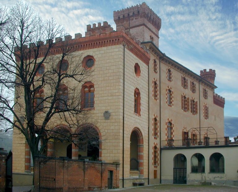
The archaeological area has been protected since 1933. In 1993, a 243-hectare special nature reserve was established around it, under the management of the organization responsible for the Marguareis Natural Park. The site is administered by the Superintendency of Archaeology, Fine Arts and Landscape for the provinces of Alessandria, Asti, and Cuneo. Finds from Augusta Bagiennorum, including inscriptions, coins, gems, pottery, and metal objects, are displayed in the Archaeological Museum of Palazzo Lucerna di Rorà in nearby Bene Vagienna.
Remains
Augusta Bagiennorum occupied level ground in the Roncaglia area, approximately 2 kilometres from modern Bene Vagienna. The site lay beside the valley of the Mondalavia stream, a tributary of the Tanaro, while hills to the northwest stood beyond the valley of the Stura di Demonte. The Roman settlement covered approximately 21 hectares, of which about 5 hectares are currently visible. The surviving archaeological area preserves parts of a planned urban layout, defensive boundaries, public buildings, religious spaces, entertainment structures, and water infrastructure.
Urban plan and defenses
The city was arranged according to a systematic plan. The modern path through the archaeological area appears to follow the ancient principal east-west street, the decumanus maximus. This was the main east-west road of a Roman town, and it intersected one of the principal north-south streets. The urban limits were marked by corner and entrance towers. Four towers and two gates have been identified, while a simple ditch, or vallum, may have bordered three sides. The steep descent toward the Mondalavia provided natural protection on the southeastern side.
Public and sacred center
The forum
The forum formed the civic center of Augusta Bagiennorum. Porticoes with shops extended along both long sides, and the shops had plastered walls. A three-aisled civic basilica occupied one short side. This type of basilica was a public building used for administrative and legal activities. The opposite side contained a second space surrounded by porticoes on three sides, dominated by a temple raised on a high podium.
The forum complex developed through several construction phases between the 1st and 4th centuries AD. An altar made from pebbles and mortar stood in front of the temple. Early medieval inhumation burials dating after the city’s abandonment were also found within the complex, linking the later use of the area to the transformation of the Roman civic center.
The theatre complex
Southeast of the forum stood a theatre with an attached four-sided portico, an open space enclosed by covered walkways. A temple platform occupied the center of the portico. The theatre’s stage was approximately 40 metres long, and the surviving stage area, portico, and nearby foundations remain among the visible elements of the site.
A small early Christian basilica with three apses was later built on the temple podium during the 5th or 6th century. It was modified in the 7th or 8th century, giving the theatre complex a later religious use and preserving evidence of the area’s transformation after Roman urban life declined.
Amphitheatre
The amphitheatre stood outside the city walls and measured approximately 120 by 90 metres. Its identified remains include the outer perimeter wall, radial walls, and U-shaped projecting structures with traces of stairways probably leading to upper levels. A vaulted corridor opened directly onto the arena. The building used opus incertum, Roman concrete faced with irregular stones, together with courses of brick. This construction suggests a date in the first half of the 1st century AD. The amphitheatre remains are visible within the archaeological area.
Water, production, and funerary structures
The city’s water system included an aqueduct and baths. The surviving aqueduct remains lie beneath the rural chapel of San Pietro. Beyond the present municipal road to Roncaglia, a possible production complex consisted of several rooms opening onto a central courtyard. Its floors used cocciopesto, a waterproof material made from crushed pottery and mortar, and the complex included channels and furnace drains. It dates to the 1st–2nd centuries AD. A quadrangular funerary monument was also identified in the area.
The archaeological route brings together the sacred area, temple remains, the principal street intersection, the forum and civic basilica, the theatre complex, and the amphitheatre. Informational panels and graphic reconstructions show the former arrangement of streets, towers, gates, necropolises, and buildings that no longer survive above ground. Excavated objects from the city are preserved and displayed at the Archaeological Museum of Palazzo Lucerna di Rorà.