Arkansas Post: A French Colonial Settlement and Territorial Capital
Site at a Glance
- Popularity
- Very High
- Country
- United States
- Primary era
- Modern
- Eras represented
- Early Modern, Modern
- Civilizations
- French, Spanish
- Site type
- City
On this page16 sections
History
Arkansas Post was a French colonial settlement near present-day Gillett, Arkansas, in the United States, founded in 1686 by Henri de Tonti and other French colonists. It began as a trading post for exchange with the Quapaw and became the first permanent French holding west of the Mississippi River and the first European settlement in the Mississippi Alluvial Plain.
French settlement and military posts
De Tonti had received the land for his service on René-Robert Cavelier de La Salle’s 1682 expedition. The first post stood near the Quapaw village of Osotouy, about 35 miles upriver from the Arkansas-Mississippi confluence. French settlers called it Aux Arcs, meaning “at the home of the Arkansas.” They exchanged goods for beaver furs, although the trade brought limited returns because the Quapaw had little interest in hunting beaver. Friendly relations and trade with the Quapaw, Caddo, and Osage helped the settlement endure. French settlers also held the first documented Christian services in Arkansas.
France increased its investment in Louisiana from 1699. Between 1717 and 1724, financier John Law’s Mississippi Company sought to create an agricultural center to supply Arkansas Post, New Orleans, and French Illinois. Around 100 enslaved people and indentured servants were brought to work, while land grants encouraged German settlement. The plan failed after the company withdrew amid the collapse of speculation known as the Mississippi Bubble. Most of the workers left the area; some enslaved people were sold elsewhere along the lower Mississippi, while a few remained near the post as hunters, farmers, or traders. By 1720, Arkansas Post had a small population and reduced importance.
Thirteen French soldiers were stationed there in 1723 under Lieutenant Avignon Guérin de La Boulaye. Father Paul du Poisson served as priest from July 1727 until his death in 1729. Commander Pierre Louis Petit de Coulange expanded the post in 1731. On May 10, 1749, during the Chickasaw Wars, conflicts involving the Chickasaw and French settlements and their allies, chief Payamataha led about 150 warriors in an attack on the surrounding settlement. Several settlers were killed or captured. Commander Louis Xavier Martin de Lino then moved the post upriver to Red Bluff, on higher ground at a bend in the Arkansas River, closer to the Quapaw and farther from Chickasaw territory.
Commander Paul Augustin Le Pelletier de La Houssaye rebuilt major facilities and added others in 1752. In 1756, Captain François de Reggio moved the post again, to the south bank of the Arkansas about 10 miles from its confluence with the Mississippi. The new position was intended to help the post respond to British and Chickasaw attacks. The first two locations had been on the river’s north bank.
Spanish administration
Following France’s defeat in the Seven Years’ War, a global conflict between Britain and France for imperial power, France ceded the territory west of the Mississippi to Spain in 1763. Spanish officials began administering Arkansas Post in 1771 and established Fort Carlos at the third site, where most of the remaining inhabitants were French. In 1772, commander Fernando de Leyba was told to assert Spanish authority and reduce gifts to the Quapaw to lower costs. The policy nearly provoked a conflict, and Leyba eventually restored the customary goods.
Floods in 1777 and 1778 prompted garrison captain Balthazar de Villiers to seek another move, citing both recurring inundation and the post’s distance from Quapaw villages. Louisiana governor Bernardo de Gálvez approved a return to Red Bluff, and the settlement moved there in 1779 in the hope of reducing flood risk. Fort Carlos III was built at Red Bluff in July 1781, near the earlier Fort La Houssaye.
Settlers from the newly independent United States established a separate village on the bluffs north of the river in the late eighteenth century; many had fled the American Revolutionary War, the conflict in which the Thirteen Colonies won independence from Britain. On April 17, 1783, Captain James Colbert led British partisans and Chickasaw allies in a raid on the Spanish post. It was the only battle of the Revolution fought in what is now Arkansas. Spanish soldiers, Quapaw allies, and settlers who disguised themselves as Indigenous people to frighten the attackers defended the post.
River erosion damaged Fort Carlos III, and in the early 1790s the Spanish moved the garrison about half a mile from the waterfront and built Fort San Estevan. Spain ceded Louisiana and the post to France in 1800, but French officials did not arrive; the Spanish garrison remained until the United States took control.
United States settlement and territorial capital
Arkansas Post entered the United States with the Louisiana Purchase, which transferred the Louisiana Territory from France in 1803. In 1804, the settlement had 30 houses, most occupied by French residents. Americans had previously lived mainly in a separate village to the north; after the transfer, American buildings joined the French and Spanish ones in the main settlement. Fort San Estevan was renamed Fort Madison and remained in use until erosion and flooding led to its abandonment in 1810.
The U.S. government established a trading house at the settlement’s northern end in 1805. Operated by Jacob Bright, it served people traveling west, including explorers Stephen Harriman Long and Thomas Nuttall, until it closed in 1810. Arkansas Post became the seat of Arkansas County in 1813 and, in 1819, the first capital of Arkansas Territory, a U.S. territorial government that preceded statehood. That year, William E. Woodruff founded the territory’s first newspaper, the Arkansas Gazette.
From 1819 to 1821, William Montgomery ran a tavern in Bright’s former trading-house building. The first Arkansas Territorial General Assembly met there in February 1820. The settlement grew while it served as capital, and two nearby towns were established. When the territorial government moved to Little Rock in 1821, major businesses and institutions followed, and Arkansas Post lost much of its importance.
The river town remained active into the 1840s as steamboat traffic increased. French entrepreneur Colonel Frederick Notrebe came to dominate local commerce, and the settlement expanded, including with a building for a branch of the State Bank of Arkansas. Its population fell substantially in the 1850s. Railroads later bypassed the town, which was abandoned by the 1890s.
Civil War and preservation
In 1862, Confederate forces built Fort Hindman to obstruct Union movement on the Mississippi and prevent an advance upriver toward Little Rock. From January 9 to 11, 1863, Union forces attacked by water, supported by armored gunboats, as part of the Vicksburg campaign, the Union effort to gain control of the Mississippi River. The Union force numbered about 33,000, compared with roughly 5,500 defenders. It captured the post, and most of the Confederate garrison surrendered. Bombardment destroyed or severely damaged the fort and buildings in town. The victory reduced Confederate harassment on the Mississippi and contributed to the eventual Union success at Vicksburg. During Confederate control, the State Bank building served as a hospital.
The former post became a state park in 1929, beginning with 20 acres donated by Fred Quandt, a descendant of German immigrants. Works Progress Administration labor supported later improvements. Archaeologist Preston Holder led the first excavations in 1956 and 1957. The National Park Service partially reconstructed colonial features, including Fort Carlos III, in 1964, and further excavations followed in 1966 and 1970–1971. In 1960, the area became a National Memorial and a National Historic Landmark; it was added to the National Register of Historic Places in 1966.
Remains
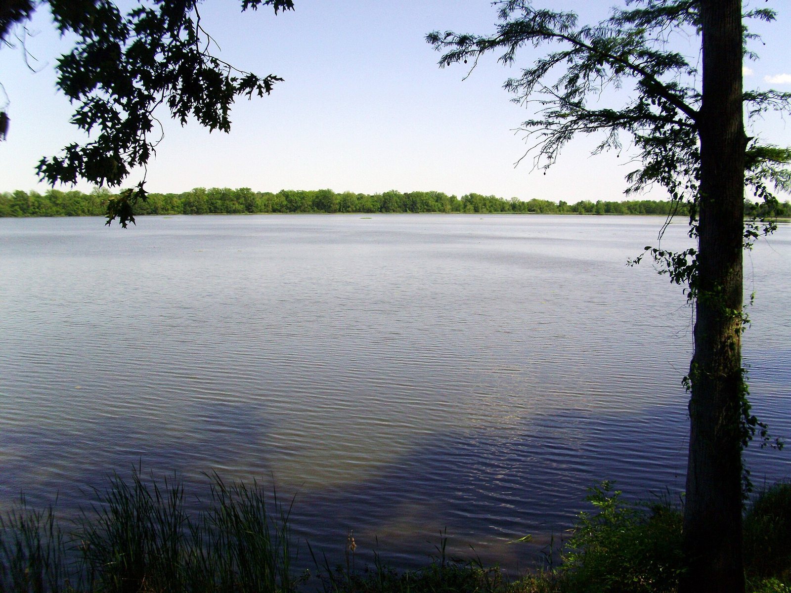
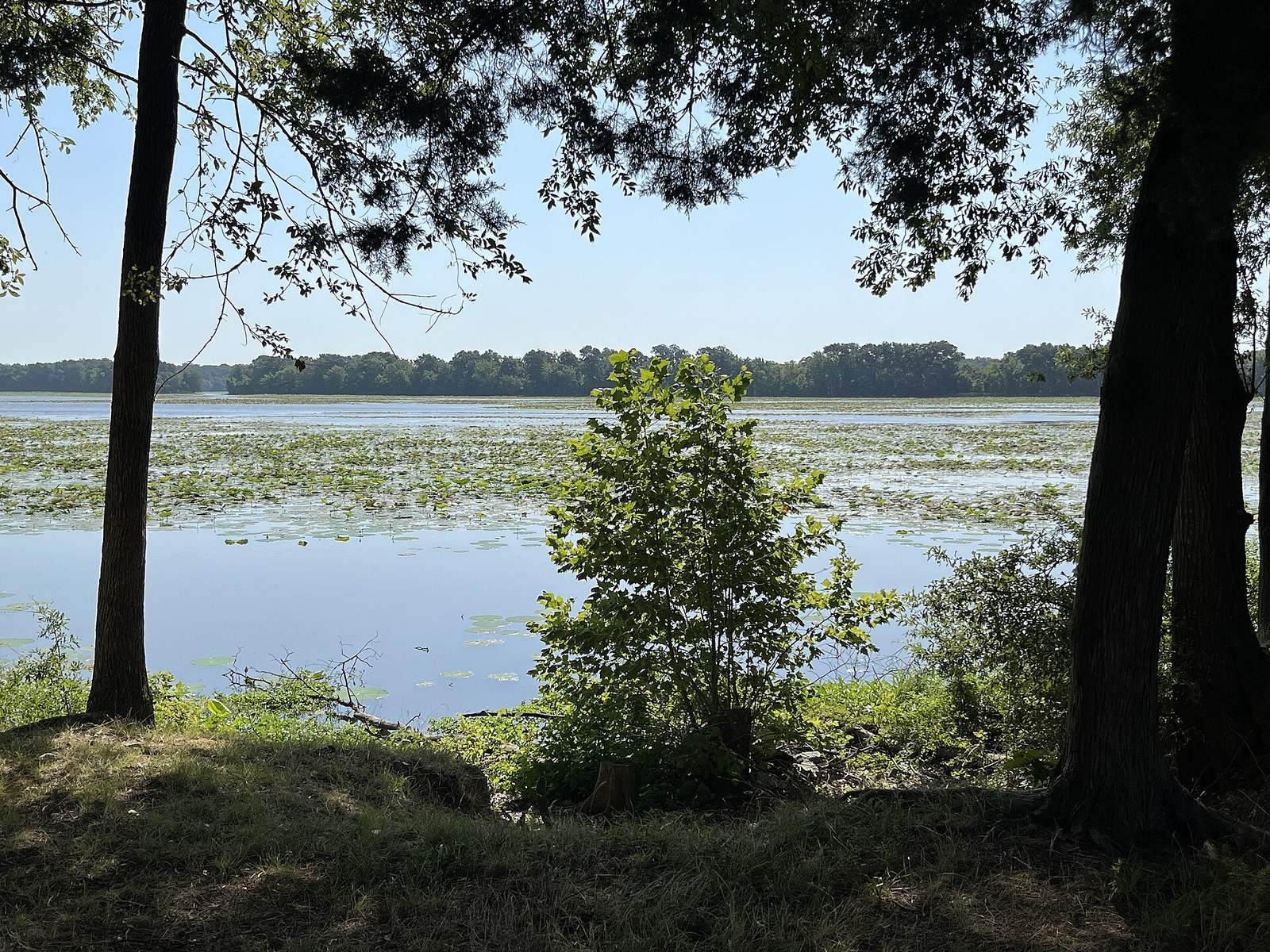
Arkansas Post’s remains belong to successive settlements and forts placed at different points along the Arkansas River. The recorded post occupied three locations, with a possible fourth. River-channel changes and navigation works altered the landscape: water is now closer to ground that once stood well above the river, and the site is low-lying. The former river channel is now a navigation lake.
Colonial posts and forts
Early post locations
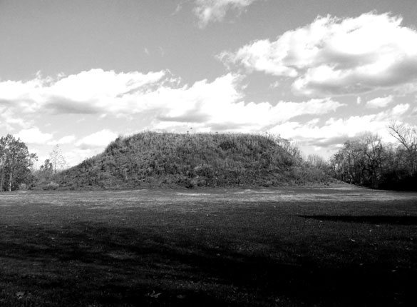
The first post is thought to have stood near the Menard-Hodges archaeological site, about five miles from the memorial grounds. Its earliest structures were a simple wooden house and a fence. The memorial land includes the second French post location at Red Bluff and possibly a fourth location.
French post buildings
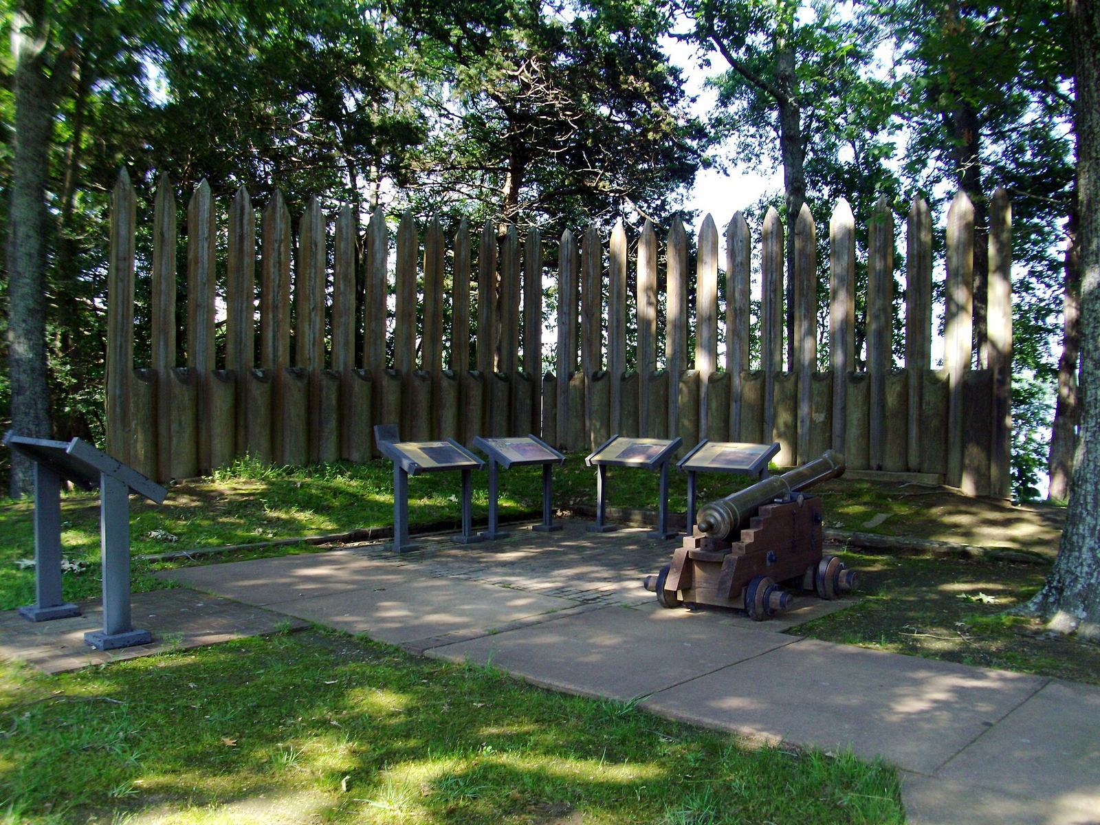
The 1731 expansion added soldiers’ quarters, a powder store, a prison, and a commander’s house. In 1752, the barracks, prison, and powder magazine were rebuilt. The commander’s house was enlarged to include a chapel and rooms for the priest, while a storehouse, hospital, bakehouse, and latrine were added. A stockade, a defensive enclosure of upright timbers, about 11 feet high protected the buildings. The 1756 post had a broadly similar arrangement, with its principal structures inside a stockade.
Spanish forts
At Red Bluff, Fort Carlos III consisted of several small buildings enclosed by a stockade and stood near the earlier Fort La Houssaye. Fort San Estevan, built about half a mile from the waterfront, had a commandant’s house, large barracks, a storehouse, and a kitchen within its stockade.
Settlement and excavated buildings
Town plan and trading house
In the early nineteenth century, the town’s 30 houses stood in rows along two streets that crossed at right angles. The federal trading house occupied the settlement’s northern end. A well and a cistern built in the early 1800s remain intact at the memorial site.
Commercial and residential remains
Notrebe’s commercial holdings included a house, two stores, a warehouse, a cotton gin, and a press. Excavations identified nineteenth-century homes and the State Bank building. Residential designs varied with the cultural backgrounds of their occupants, though many followed French or Spanish colonial traditions. Thousands of ceramic fragments have also been recovered. At the French settlement, excavated trenches have been associated with poteaux-en-terre, a French building type with posts set directly into the ground.
Earthworks and surviving features
Fort Hindman and Civil War defenses
Fort Hindman was a large defensive earthwork on a bluff along the north bank of the Arkansas River, about 25 feet above the water. Its position afforded a view about a mile upriver and downriver. Parts of the Confederate road, trenches, and artillery positions remain visible at the memorial site. A partial reconstruction also depicts a fort from the Revolutionary War era.
River landscape
Erosion and river-engineering works, including dams, canals, and locks on the Arkansas and Mississippi, reshaped the site’s physical setting. The historic forts Fort La Houssaye, Fort Carlos III, Fort San Estevan, and Fort Hindman were located in the former river channel, now used as a navigation lake.