Anjanvel Fort: A Coastal Defense in Maharashtra
Site at a Glance
- Popularity
- Medium
- Country
- India
- Primary era
- Medieval
- Eras represented
- Medieval, Early Modern
- Civilizations
- Maratha
- Site type
- Military
- Remains
- Fort
On this page7 sections
History
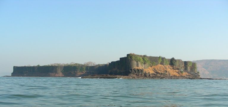
Anjanvel Fort, also known as Gopalgad, is a coastal fortification near the sea in Ratnagiri district, Maharashtra, India. It guarded a medieval trade route along the Vashishti River toward Govalkot, near Chiplun, and Dabhol port. Its construction date is undocumented. Tradition credits its construction to King Ramaraya, described as a Lingayat Vani, a member of a merchant community associated with the Lingayat religious tradition. Adil Shah captured the fort in 1424.
Shivaji’s capture and Maratha rule
In 1660, Shivaji, the 17th-century ruler who established the Maratha kingdom, captured the fort from Bijapur during his campaign to take control of Dabhol Creek. He later established a shipbuilding dockyard there and renamed the fort Gopalgad.
Bijapur control ended in 1660, and the fort remained under the Maratha Empire until 1699. The Maratha Empire was a major Indian polity that grew from Shivaji’s kingdom.
Janjira, Angre, and British control
Janjira State took control in 1699. The Abyssinian general Khairriyatkan held the fort for 46 years. The term Abyssinian referred to people from Ethiopia and the surrounding region. Tulaji Angre, a Maratha naval commander, took the fort in 1745. Maratha Empire control is listed from 1745 to 1818, and Angre officer Ramji Mahadev Bivalkar captured the fort in 1756.
Kennedy, a colonel or senior military officer, captured the fort in 1818. It then came under East India Company control until 1857, followed by British Crown rule, known as the British Raj, until 1947. India has controlled the fort since 1947. It is listed as Government of India property, although its ownership has been disputed.
Remains
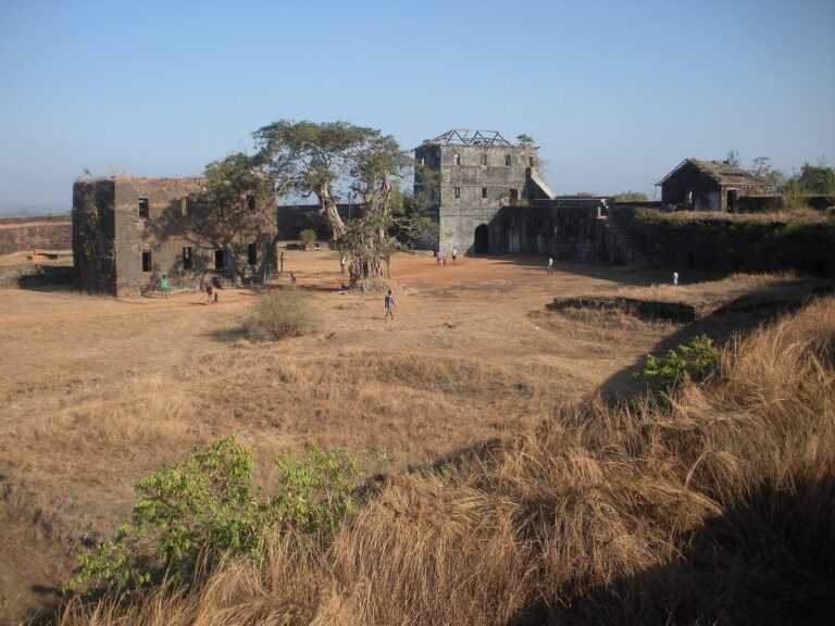
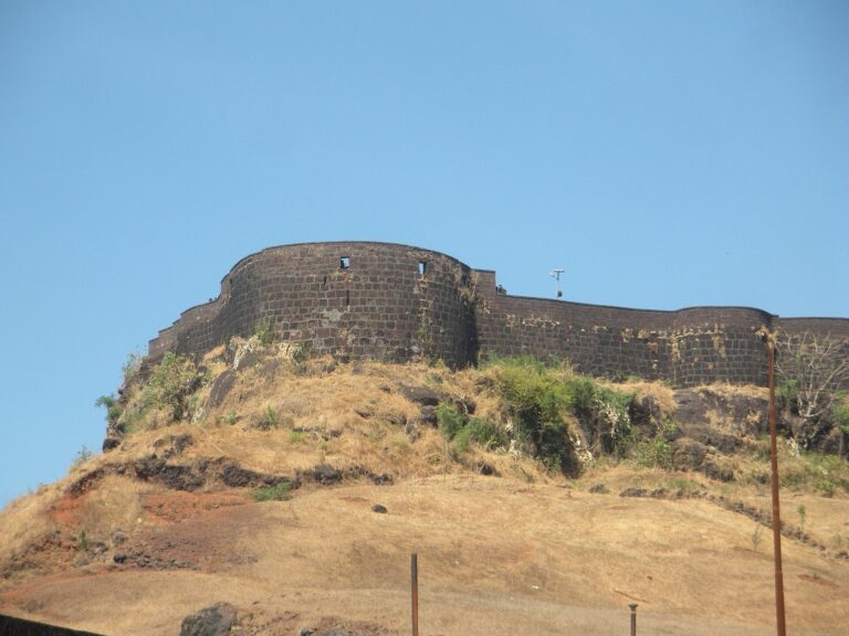
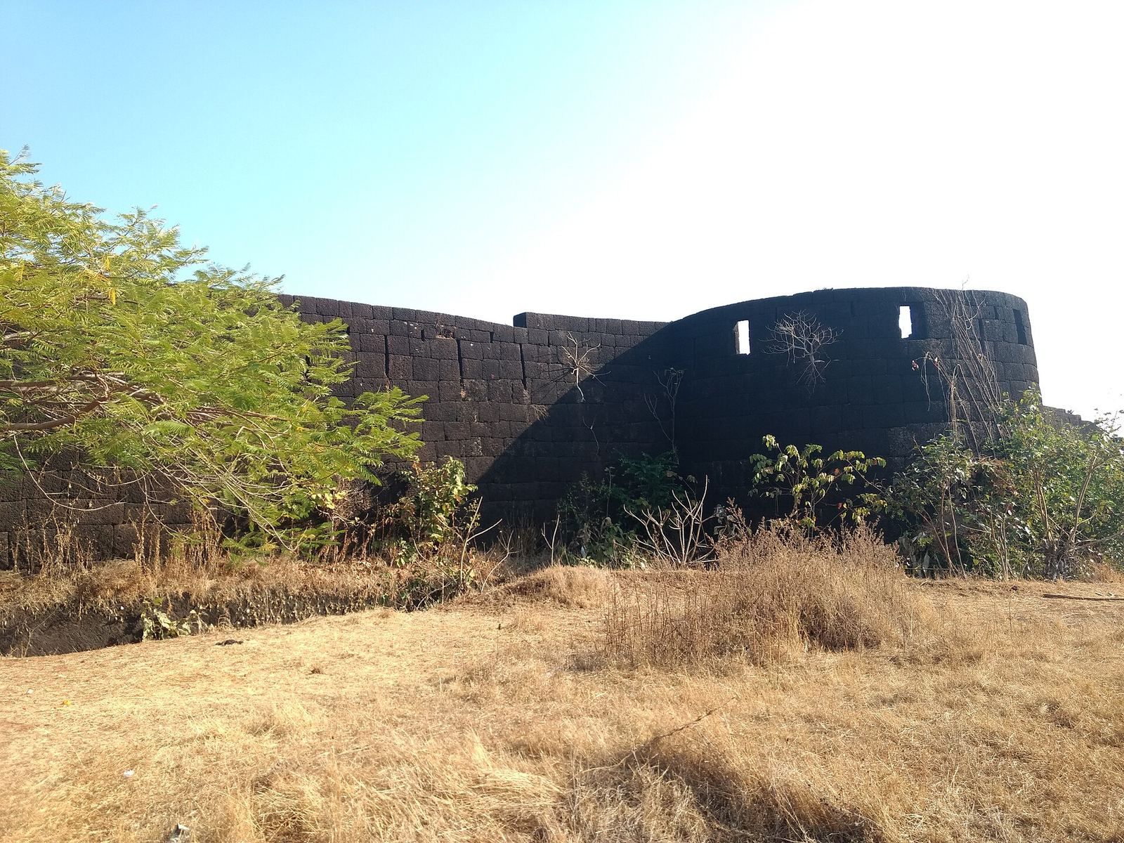
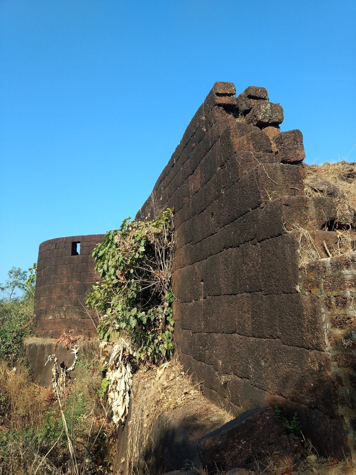
Anjanvel Fort stands on a hill near the sea. Its stated height is 300 feet, and its rectangular enclosure covers about 7 acres. The fort is built of laterite, an iron-rich rock formed by intense weathering in tropical climates.
Fort plan and defenses
Outer enclosure
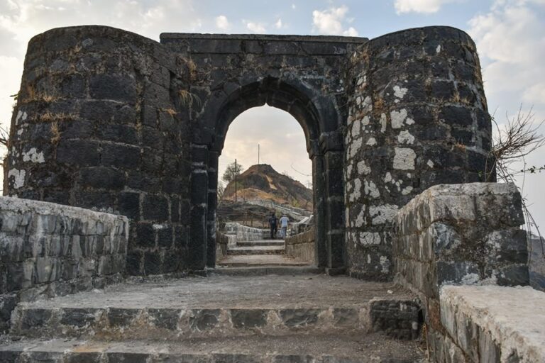
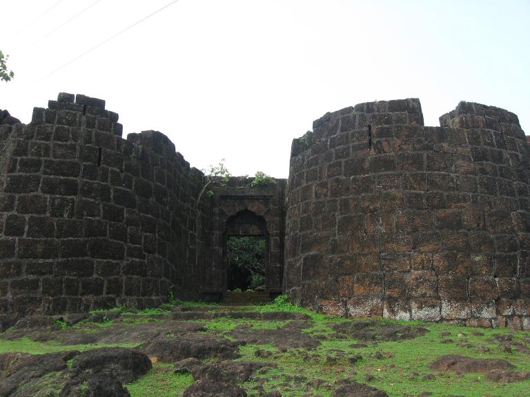
A dry moat, a defensive ditch without water, surrounds the fort. Its walls are described as 12 feet high and 8 feet thick. The outer walls had 15 projecting defensive structures, called bastions, which were armed with cannons. A small entrance is located on the western side.
Divisions and interior
The fort is divided into three sections, Varchakot, Parkot, and Balekot. A small entrance to Padkot opens toward the outside. Within the walls is a mango orchard. A Persian-language inscription was associated with the fort until 1707. The fort is now in ruins.