Ambracus: The Fortified Port of Ancient Ambracia
Site at a Glance
- Popularity
- Very Low
- Country
- Greece
- Primary era
- Medieval
- Eras represented
- Classical, Medieval
- Civilizations
- Ancient Greek, Byzantine
- Site type
- Military
- Remains
- Fort
On this page12 sections
History
Ambracus, also called Ambrakos, was the fortified port of ancient Ambracia in Epirus, Greece, on the Ambracian Gulf. Its position near the Arachthus River’s mouth connected the coast with the city and inland routes through Epirus, Thessaly, and Acarnania.
The ancient port and its capture
Ambracus guarded access to Ambracia and the inland regions. At first, people could reach the city by sailing up the lower Arachthus. A road later linked the two places, changing how people travelled between the coast and the city. Ancient descriptions differ on the distance from the sea. Dicaearchus placed Ambracia 80 stadia inland, using an ancient unit of distance whose length varied; Pliny later wrote that the sea had receded and put the harbor about 10 Roman miles from the coast. The Arachthus remained a route inland: in 1435, Cyriac of Ancona sailed from its mouth upriver to Ambracia. Stephanus of Byzantium described Ambracus as a small town near the city.
In 219 BCE, Philip V of Macedon, a king of the Hellenistic age that followed Alexander the Great’s conquests, besieged Ambracus for 40 days and took it before attacking Ambracia. The Epirotes had called on him to help recover Ambracia from the Aetolians, a Greek people organized in a regional league. The historian Polybius gives the defending force at Ambracus as 500 Aetolian soldiers.
Phidokastro and the changing coast
A later fortress, Phidokastro, meaning “Snake Castle” in Greek, was built in the ninth century, probably to strengthen local defenses against Arab attacks. Its harbor served as a landing and transfer point for goods bound for the Arta hinterland. Repeated flooding and the Arachthus’s eastward shift contributed to the fortress’s abandonment near the end of the Middle Byzantine period, the middle phase of Byzantine history, generally dated from the ninth to the twelfth centuries. Salavora and Kopraina subsequently became the principal landing places.
The ruins drew the attention of William Martin Leake in 1805, John Hobhouse in 1809, François Pouqueville in 1822, James Wolfe after his 1830 visit, and Captain Baker in 1837. The historian Nicholas Hammond also visited the area and recorded remains. Local stories about the flooded fortress included a prince of Nicopolis building a submerged stone road from Salavora to marry a king’s daughter and seize the king’s gold. Other versions told of a princess drowned in a storm and of treasure, food, and venomous snakes enclosed within the castle. A variant described five chests containing gold, a petrified king and princess, mosquitoes, and snakes. Tales of fairies and hidden treasure persisted into modern times.
Remains
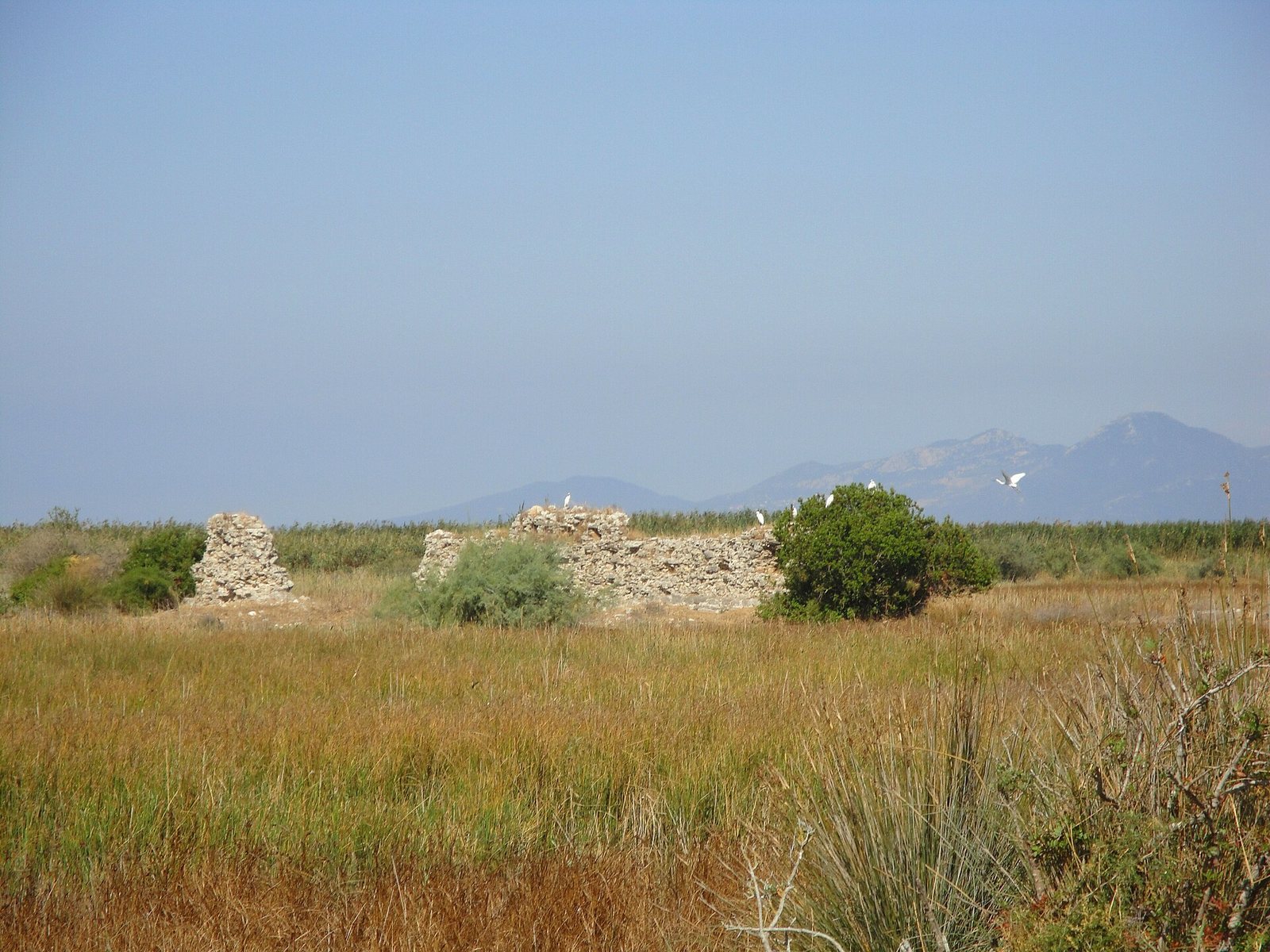
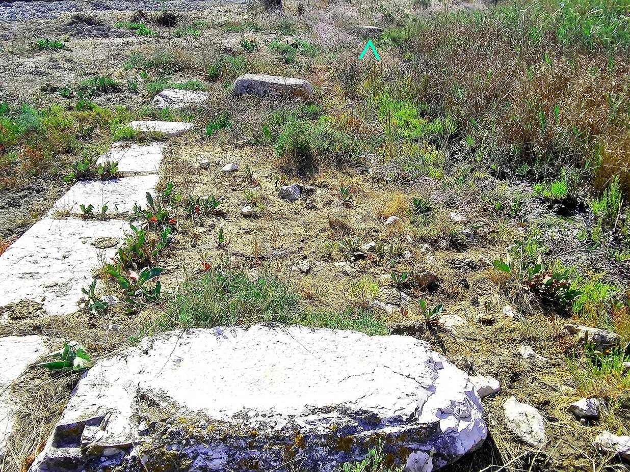
The remains lie in a marshy, shallow-water landscape around the Arachthus’s former mouth. The ancient site of Ambracus is placed east of that mouth, while the ruins of Phidokastro are associated with a marshy island near the old outlet and Logarou Lagoon. Remains also occur on the western side of the river’s former course.
Ancient port and approach
Ramparts and causeway
Ambracus was enclosed by ramparts and outer defensive works, with marshes around it and a single narrow causeway, a raised route across wet ground, providing an approach. Livy gives the circuit of the walls as about 25 stadia. Their position protected the approach to the harbor and the route toward Ambracia.
Harbor entrance
The harbor had a narrow entrance commanded by the fortress, and a chain may have been used to close it. The confined entrance made it difficult for ships to enter and land. Lucan characterized navigation there as dangerous. The harbor may have been artificial, while marshes and shoals could also hinder access by boat.
Road to Ambracia
An ancient highway ran from Ambracia’s southwestern main gate beside the Arachthus toward the sea. It was 12 metres wide and surfaced with paving stones or concrete. A section has been uncovered near the city’s western cemetery. Its construction followed an earlier period when the river provided the only navigable approach to Ambracia.
Phidokastro’s submerged fortifications
Walls and enclosures
Baker described an irregular five-sided outer wall, 15 to 25 feet high, enclosing a four-sided structure measuring 160 by 140 yards. One stretch of the outer wall was lower; in places, the ancient masonry formed about two-thirds of the wall’s total height. The sole entrance faced the sea near the southeastern corner. Baker also noted four small towers: two at the outer wall’s northern and southern corners, and two on the inner structure’s northeastern and southwestern sides. Hammond recorded submerged wall remains about 1,200 metres long, an enclosure roughly 150 by 100 metres, and a smaller castle, 35 by 20 metres, at the northeastern corner.
Stonework and foundations
Leake described walls made of small stones set in sand mortar, with ancient Greek stones used in their foundations. Hobhouse noted much larger blocks at the base, each about 14 feet long and 6 to 7 feet wide, which he interpreted as part of an earlier Greek building distinct from the later fortress. He also observed that residents of nearby villages were taking stones from the older structure.
Submerged setting
Descriptions from the nineteenth century place walls and towers beneath the lagoon’s water. Wolfe reported walls 25 to 30 feet high, visible from about 800 metres away, while shallow water prevented approach by boat. Baker likewise described the ruins as submerged and reachable only by boat. A narrow strip of land extending from Koronisia came within about 2.5 miles of the old river mouth near present-day Paliobouka. Foundations and portions of the northeastern and western sides survive among wild vegetation.